
New 3D and elevation features – v3.80 released!
May 19th, 2009
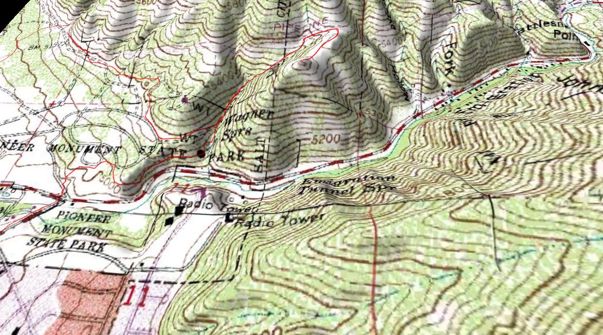
We’re excited to announce the release of v3.80 of TopoFusion Pro, featuring a long sought after addition to the software… elevation caching!
Thanks to Lucian Plesea over at JPL, we now have rapid access to tiled DEM (elevation) data. As you pan around in TopoFusion in v3.80, you’ll automatically be downloading DEM data, so it’ll be there if you want to go to 3D mode, or if you want to add elevation to your tracks.
Now 3D works offline, if you’ve got the data and in general it’s a whole lot faster and easier to use. That means you can add elevation to tracks and do Climbing Analysis on tracks offline, too.
Also, the ‘undo’ command has been enabled to ‘undo’ many more operations than it used it.
A summary of elevation features:
Added local caching of DEM data
– DEM data is automatically downloaded as map is panned
– Fast downloads, using OnEarth’s tiled WMS
– Stored in maps.dat structure, download once, always have
– Elevation at mouse cursor given in status bar
– Faster 3D model generation. Works offline.
– Elevation automatically added to tracks as they are drawn
– Automatically uses NED (30m) data inside US, 90 SRTM elsewhere in world
– Option for forcing SRTM available (useful for US border areas)
– Climbing Analysis uses cached data
– Increased accuracy for elevation gain and “Add Elevation to Track”
– Added box filtering to Climbing Analysis (selectable filter width)

Head over to the Download Page to try TopoFusion out, free of charge.
Registered users refer to your registration email for the download link, or go here to request your code and the download URL.
Full list of changes
For a complete list of changes see the Revision History
May 19th, 2009 at 6:49 pm
Hi. I am evaluating this software right now and am impressed with the way it lets me *easily* upload tracks (breadcrumbs) from my Vista eTrex after a hike and shows the route on the map. Had nothing but issues with NG Topo for this function (which is why I bought Topo to begin with). What I can’t find is a 2D flat-graph representation of the elevation terrain. I would like to add the 3D elevation profile (looks like a heart EKG strip) to my map when I print them for the scrapbook. Does this software create such a terrain map, and if so, how in the world do I do this?
Also, hate to compare, but the Topo maps seem to be clearer (less fuzzy) than yours and closer to the USGS maps I have (in quality). When I license your software, will it give me higher resolution maps or is what I see the best it’ll do?
Thank you!
May 19th, 2009 at 7:49 pm
Hi Dave,
TopoFusion sure does 2D flat-graphs. We call them elevation profiles.
When you export a map (using File->Export View) there’s an option for “include profile (of currently profiled track)”. If you check that the profile will go at the bottom of the map.
First step will be to open up the profile of the track of interest. Do this by either using the profile mouse tool (on the toolbar it looks like a purple profile with a mouse pointer) and clicking on the track. Or, if you’re in hand/pan mode you can right click on the track in the main map and then choose “profile/playback.”
Try it out and let us know what you think. Feel free to comment here again or drop us an email at support@topofusion.com.
You are right that in general Topo! has better resolution on the topo maps. However, they don’t have nearly the satellite and aerial coverage that TopoFusion has. So, it’s a trade off.
Thanks for writing in.
August 25th, 2009 at 5:01 pm
I appreciate being able to see tiled DEM elevations on the status bar. It makes it easier to see where there are glaring errors! How can we inform the data owners of these problems? For example, there is a big discontinuity in elevation data in MS when I go south of 32 N and east of 90 W.
August 25th, 2009 at 7:51 pm
Hi,
I can get in touch with the data owners if there’s a problem — they would love to know about it actually. I went to that area and everything seems OK to me, then again I’m not familiar with the area. What (wrong) values are you getting?
Thanks,
Scott Morris