
TopoFusion 3D map in BIKE magazine
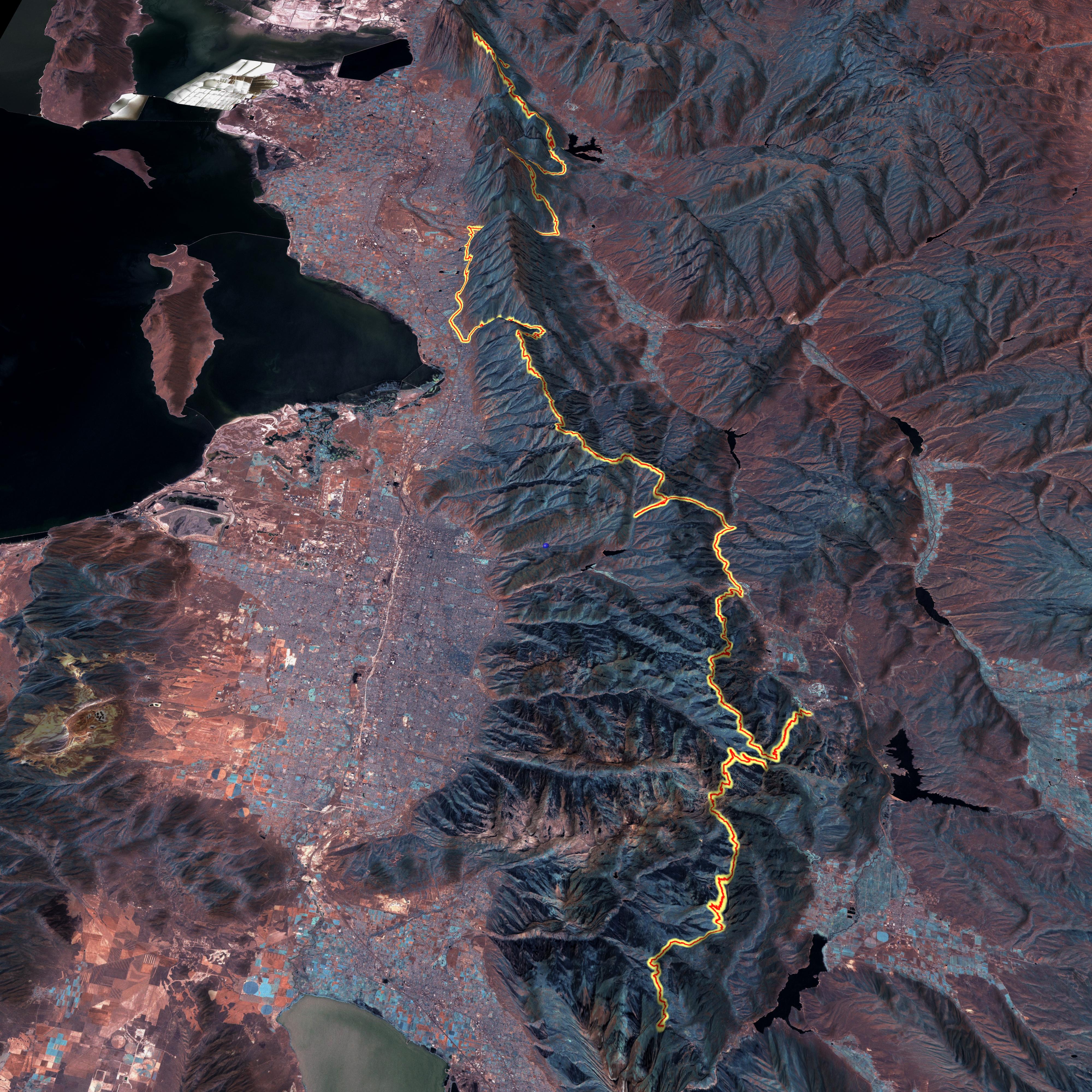
November 8th, 2008November’s issue of BIKE magazine features a story on a 160 mile singletrack epic in Utah’s Wasatch range. The author of the article contacted TopoFusion for a 3D plot of their route, published on page 75, and also online:
http://bikemag.com/gallery/across_the_wasatch_markewitz_utah_mountain_biking_photos/
They had tried to get an acceptable result from Google Earth, but the “patch work” effect (from stitching together data from various sources) made the result inacceptable. TopoFusion’s Landsat tileset was just the trick for mapping this 160 mile GPS track. It’s consistent and great for large scale maps. For publication their art department fiddled with the colors to make it a little less “mars” like (see the magazine). Original from TopoFusion looks like this:
(Warning – large file – 2.5 mb jpg)
In the soon-to-be-released next revision of TopoFusion we can do even better. We’ve got statewide color aerials at very high resolution (~1m or better) coming ‘atcha (for most of the United States). Here’s what the Wasatch Epic track looks like on the new color aerials:
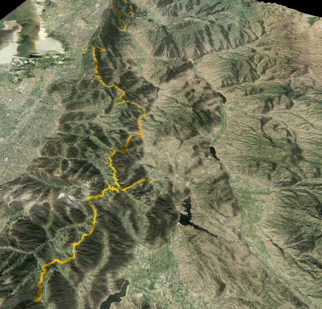
Still very consistent. Also note that to get a high resolution 3D export in Google Earth you need the $400 Pro version. And even then it’s only 4800×4800. TopoFusion can export to 8192×8192 as long as you’ve got a video card that can support it.