
Arizona Trail 300 starts April 18th
April 14th, 2008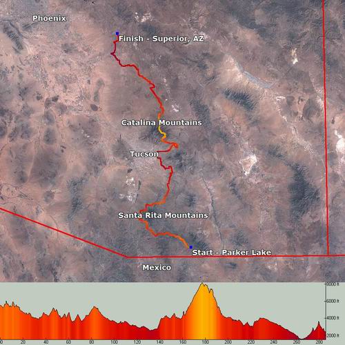
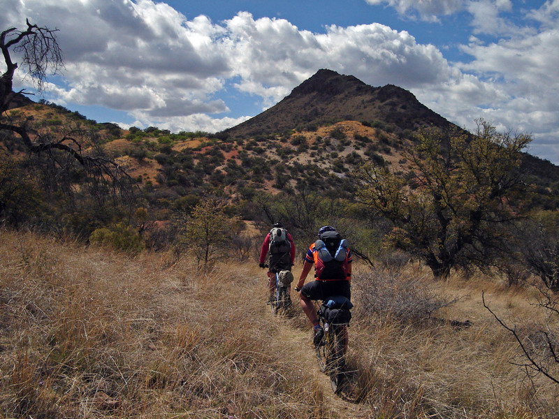
The Arizona Trail 300 is a self-supported mountain bike race covering 300 miles of the Arizona Trail in southern Arizona. It’s pretty unique among today’s endurance events in that competitors are completely on their own during the ride. Things like outside support and caches are not allowed.
No other self-supported race provides competitors with an official GPS route to follow. This allows racers from out of state who are completely unfamiliar with the trails used to not only stay on course but be competitive.
You can download and check out the course in full detail by going to the AZT 300 GPS Page.
TopoFusion software was once again used to do all the GPS data crunching. This includes cutting, merging and cleaning up the data (2008’s course features more freshly built Arizona Trail). Finally, TopoFusion’s simplify and split features were used to make a ready-to-upload GPX file (a 20 track, 500 point file).
The race goes off April 18th, 2008 at 9am. TopoFusion author Scott Morris holds the course record at 2 days and 17 hours. With strong local and out-of-state riders expected to show (there is no registration, no fees, no race organization whatsoever) there is a good chance that someone will make a bid for the record.
Watch Scott’s diary for a race report after he’s had a few naps and consumed a few thousand recovery calories.
Even if you’re not able to get out for 300 miles, we hope you’re getting a chance to enjoy the beautiful spring weather. It’s a great time to be out on the bike.