
Uploading GPS tracks to your GPS using TopoFusion
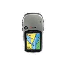
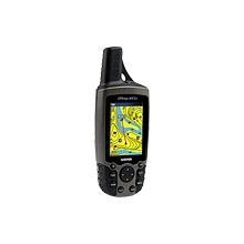
GPSMap 60CSx, eTrex VistaHCx, LegendCx, VentureC
This page covers any GPS in the GPSMap 76/60 family and all those in the eTrex family that have color screens. For other GPS models, go to the main tutorial index page.The best way to upload tracks to these units is to use the 'saved tracks' area of memory. The limit is 20 tracks of 500 points each. Fortunately all 20 tracks will be shown (by default) on the map at one time, so we can use all 20 tracks to upload a high resolution track. All we have to do is simplify and split the track in TopoFusion before uploading.
Step #1 - Check the number of points.

If the track has more than 10,000 points, you will need to simplify it first. If you have zero points there is something wrong with your file -- try downloading the file again. If you have less than 10,000, you can skip step #2.
Step #2 - Simplify to 10,000 points.
In the "hand" / pan mouse tool mode, right click on the GPS track in the map window. A context menu pops up that looks like this:
Choose the "Simplify/split/spline track" option.
The simplify/split dialog:
Change the number of points to 10000. Hit "OK" on the dialog box. Your track is now 10,000 points.
Step #3 - Split the track.
We need to cut the track into chunks of 500 points each. In the "hand" / pan mouse tool mode, right click on the GPS track in the map window. A context menu pops up that looks like this:
Choose the "Simplify/split/spline track" option.
Click on the radio button (white circle) next to "Split into equal pieces (for upload)." Leave the number of points at 500 and hit "OK" on the dialog.
Step #4 Clear the GPS's saved tracks.
If using the full 10,000 points (20 x 500) you will need to clear all saved tracks on your GPS. You must do this on the GPS -- TopoFusion (and no GPS software) cannot do this for you.On the GPS, go to Main Menu -> Tracks. Hit the "find/menu" button. Choose "Delete All Saved Tracks". Confirm the dialog. You should see a message on the GPS saying "20 Unused" at the bottom.
Step #5 Upload the track.
Go to the GPS menu in the main TopoFusion window.
Select the "Upload Track(s)" option.
Choose the file you want to upload in the dropdown selection at the top.
Leave the secondary option as "to Saved Tracks / Courses."
Now hit "Begin" to begin transfer. It should only take a few moments.
Step #6 - Verify the upload.
You should not receive any "Track Truncated" messages on the GPS itself. If you did, something went wrong and the file was not prepared correctly.On the GPS, go to Main Menu -> Tracks. You should see "0 Unused" at the bottom of the screen (assuming your track was a full 10,000 points). You can select each portion of the track individually and verify that it is there. Or, simply go back to the GPS unit's main map mode and verify that the entire track is showing on the map.
Note that there is no need to 'turn on' or navigate the uploaded track. It is automatically shown when in Map mode.