
TopoFUSION
Use TopoFusion to combine different map types into amazing FUSION maps. Here are just a few examples of possible combinations:
Topo + Color Aerial
Open Street maps + Color Aerial
myTopo + Land Ownership WMS Layer
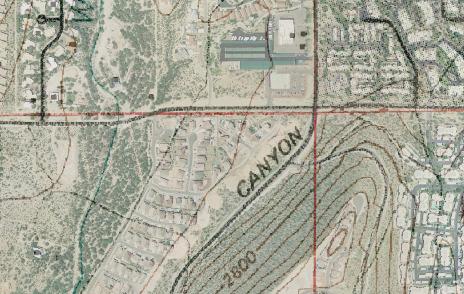
Urban Aerial + B/W Aerial (new developements show up more faint than older ones)
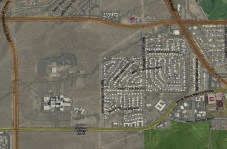
Topo + Color Aerial
Open Street maps + Color Aerial
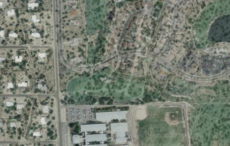
myTopo + Land Ownership WMS Layer
Urban Aerial + B/W Aerial (new developements show up more faint than older ones)
Use the Map menu to switch to Combo maps. Combo maps default to a myTopo/Color Aerial blend, to choose the map types for the blend select Options->Blending / Shaded Relief from the main menu:
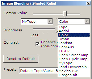
The dropdowns on either side of the Combo Value slider can be used to select the desired map type for blending. The slider then controls how much of each map type is blended in. Watch the maps morph into each other as you pull the slider from one side to another.
Brightness - Use this slider to adjust brightness for all maps. Handy for brightening up darker aerials and topos.
Contrast - This option enhances the contrast on all maps.. In the future this setting will be a slider bar to add contrast.
Keyboard shortcuts - The following keyboard commands can be used to adjust the image processing sliders with or without the window open:
'[' move combo value towards the left dropdown selection (default: topo)
']' move combo value towards the right dropdown selection (defulat: aerial)
'-' decrease brightness
'=' increase brightness
Here are a few more examples of maps you can produce using the Image Processing window:
 |
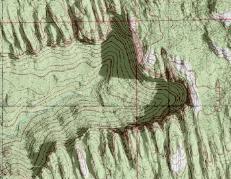 |
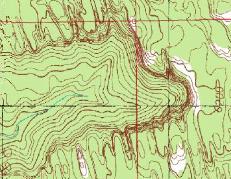
| Original Topo | Shaded Relief Added |
 |
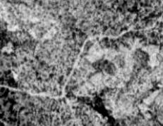 |
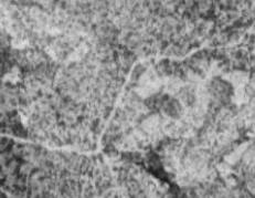
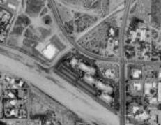
| Original Aerial | Contrast added - Trail more visible |
 |
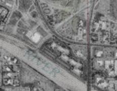 |
| Original Aerial | Names from Topo overlayed |