The Arizona Trail enters the Mt. Wrightson wilderness area soon after leaving the town of Patagonia. The AZT 300 route follows a long detour around the west side of the Santa Rita mountains. One of the great open questions in Tucson mountain biking is whether a viable off-road route exists east of the wilderness area.
Hog Canyon is known to connect to Gardner Canyon, but besides only being a partial solution, it’s been ‘locked’ out by land ‘owners.’ Even this connection is a little mysterious.
At 8pm Lee called and informed me that his birthday is tomorrow. Would I like to go for an all day ride? Is the pope catholic?
I spent the next few hours at a fevered pitch, lighting pixels up with TopoFusion, blazing google searches and packing the bike. We had some lines to follow, some more dubious than others. I was so worked up and excited for the ride that it took hours to fall asleep.
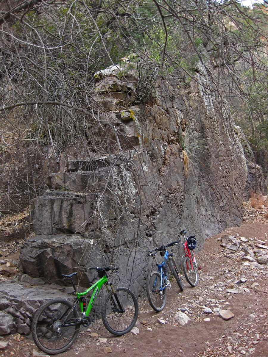
After a fair bit of mellow dirt roads and thrashing around in washes and through brush, we parked our ponies at a giant wall:
Further investigation led to quite the spot.
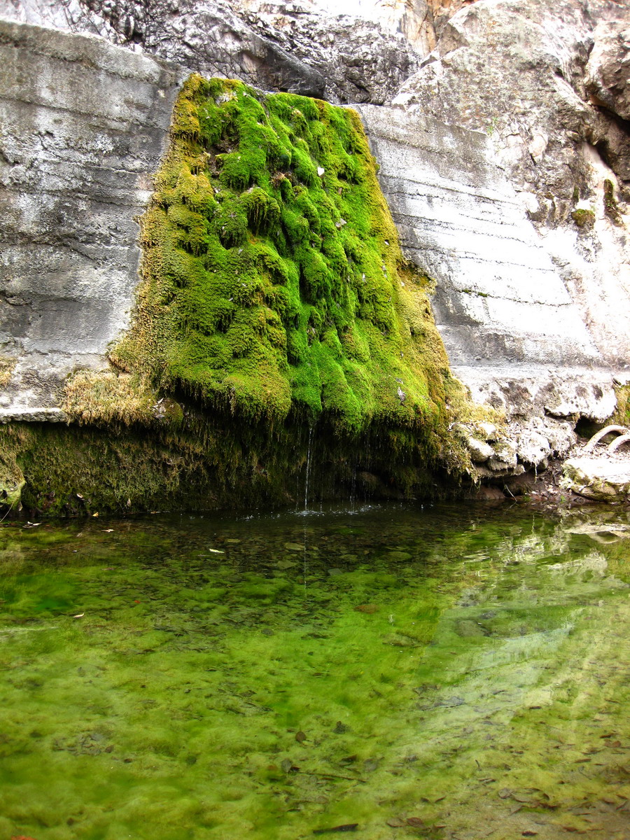
Fed by slime (color not altered in the pictures at all):
Sarenson decided to dive in (easily deep enough to do so).
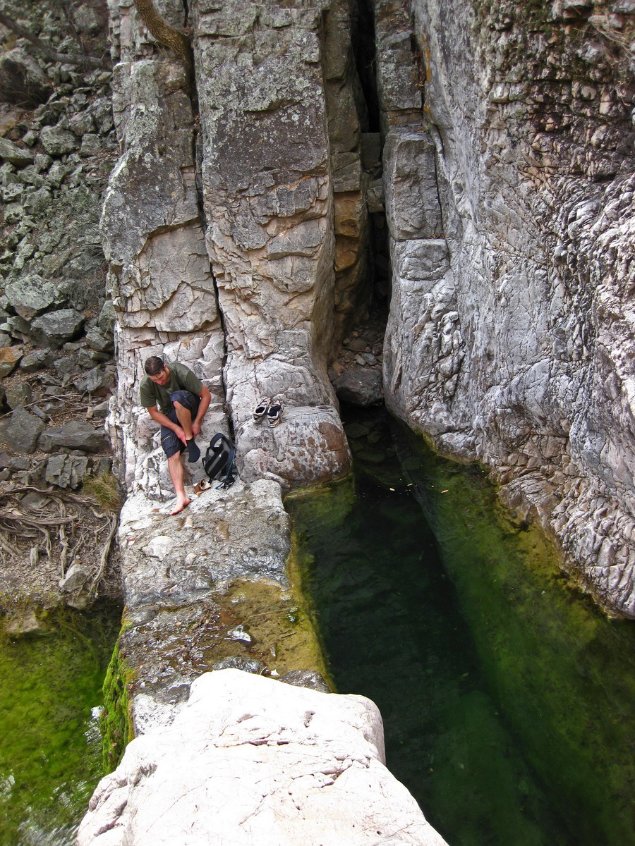
The bathtub was a significant obstacle for bikes. There’s a ladder around it, but we turned back to climb a side drainage. A small trail of use took us to a saddle above El Pilar. We decided to drop on the cow/immigrant trail for a look.

El Pilar.
We climbed back to the saddle (nearly rideable back up!) and continued on the trail towards Hog Canyon.
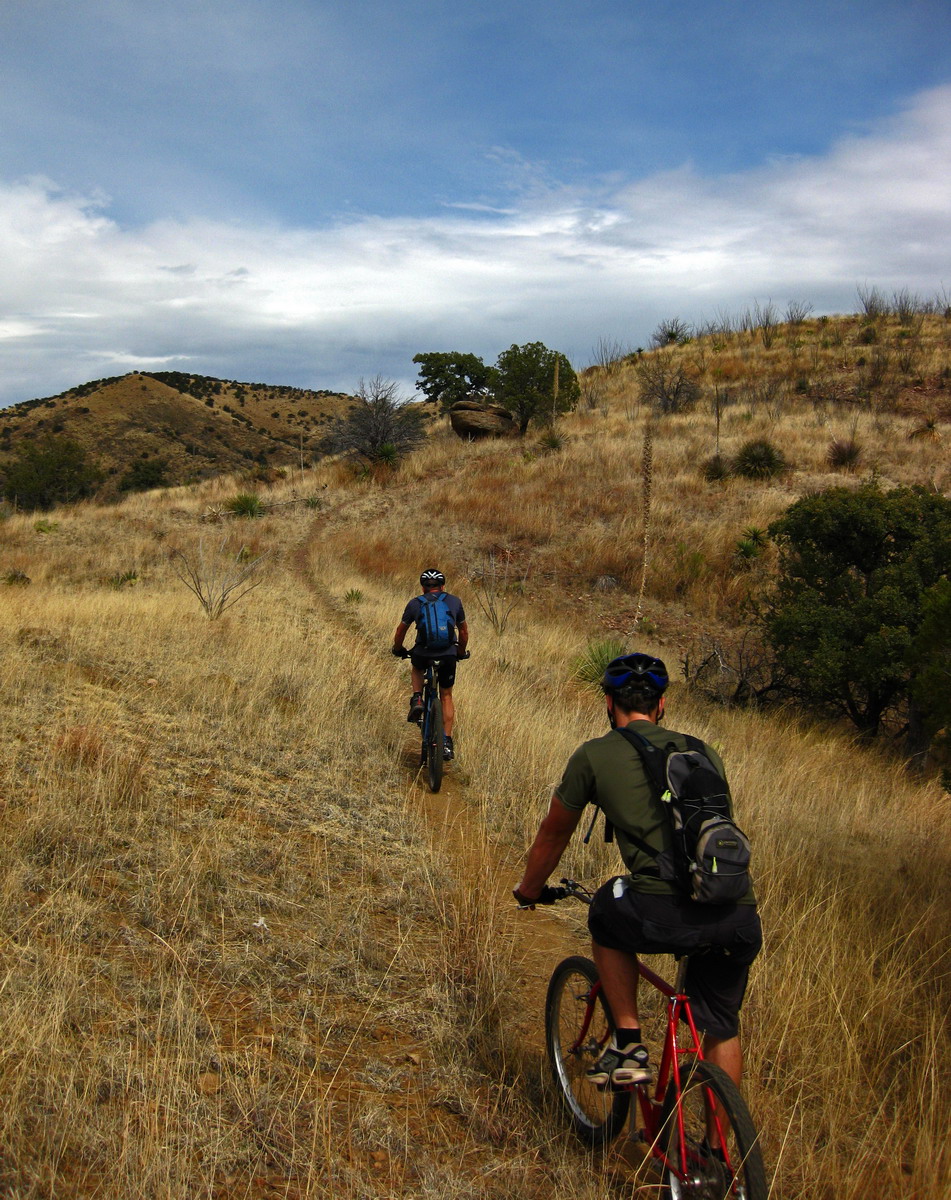
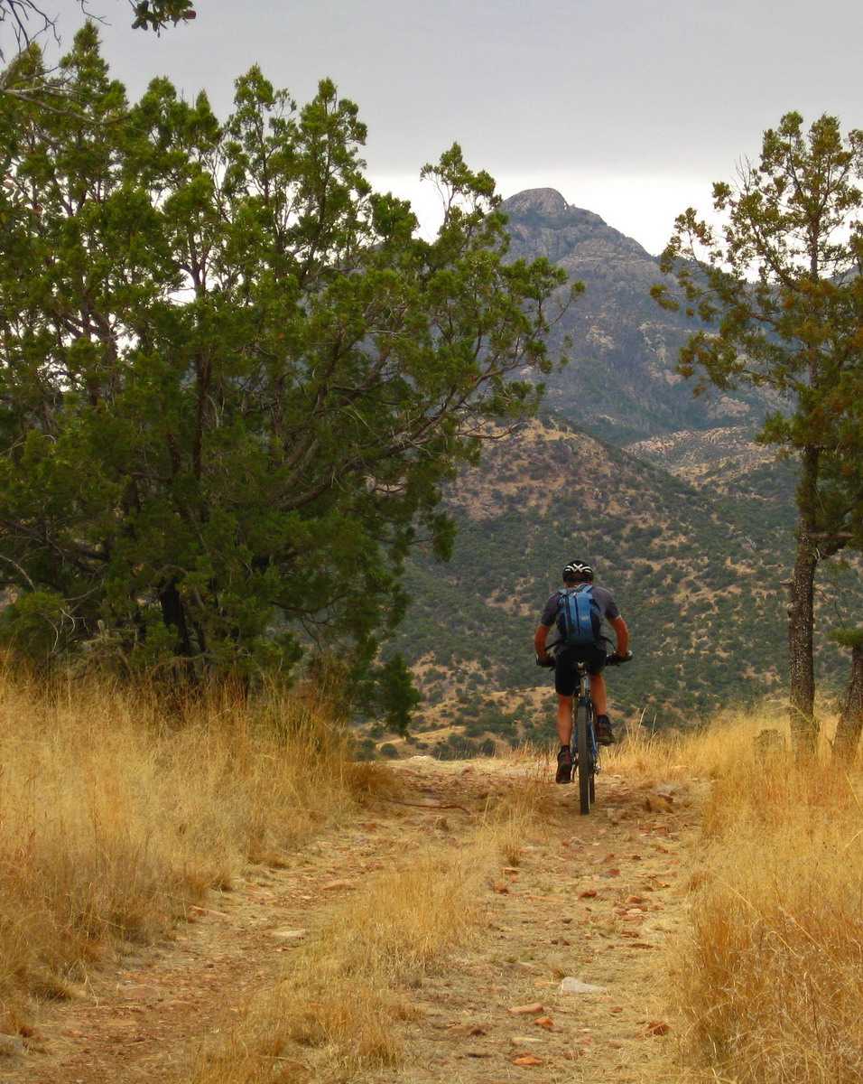
Oh my! It’s full of sweet singletrack! What a find!
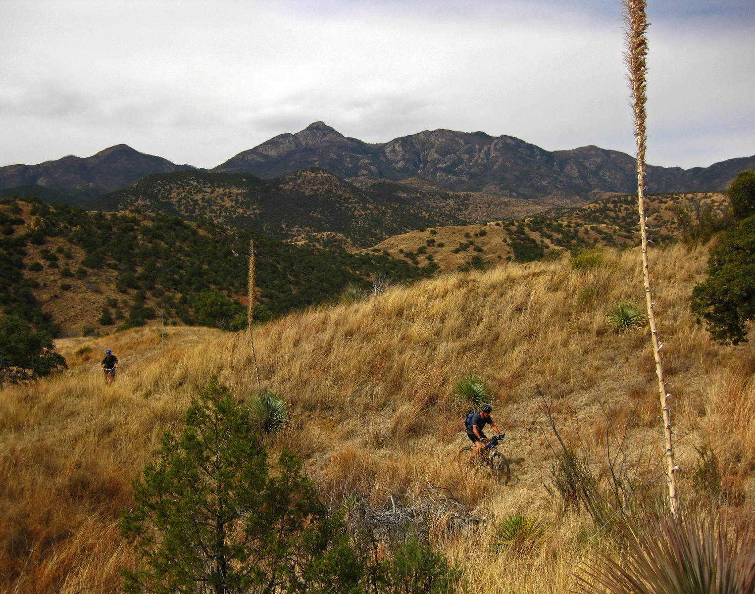
With killer views of Mt. Wrightson…
There was a bit of hiking, but it eventually connected to a jeep road. I was readying myself for a fall-line climb on the road when I spied a well worn piece of singletrack contouring to exactly the saddle I had sought on TopoFusion the night before.
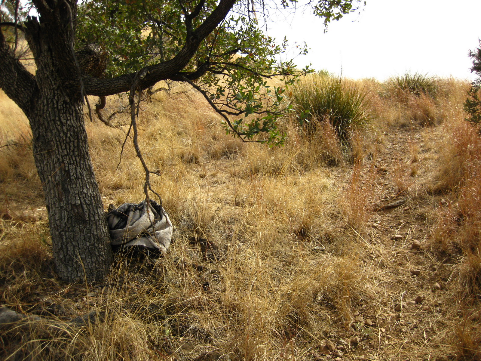
A blanket under a tree. What could that possibly mean?
A rip roaring techy singletrack descent brought us to an unnamed pond in Hog Canyon. 4×4 roads took us steeply over a few ridges to finally drop into Gardner Canyon. Here we met an older mountain biker who was clearly frustrated with route finding and lack of sweet/easy singletrack in the area. We tried to point him on his way to the ‘flume’ trail, then flipped back for further exploration.
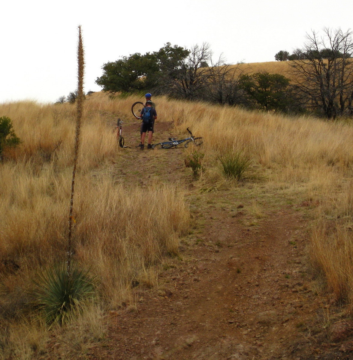
Sarenson was rocking Lee’s 25 year old Diamondback. The guy’s got spirit. He was right behind me on this descent (me on the Behemoth) when he pinch flatted.
We dropped to El Pilar again, continuing on the well worn trail. On to the next piece of the puzzle — a better route from Adobe Canyon to Big Casa Blanca Canyon.

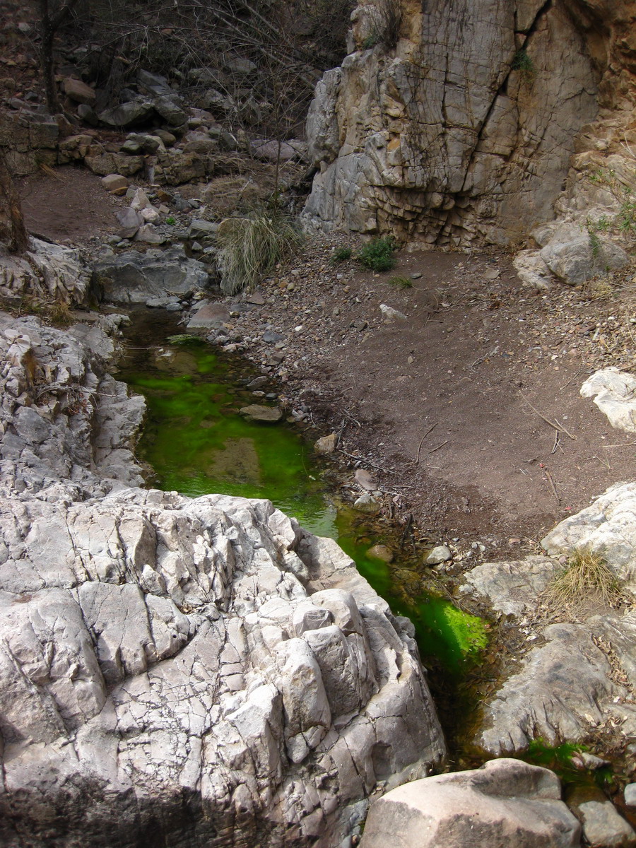
First we had to navigate pools of toxic waste (again, no color manipulation in that pic). We found some boot prints, but eventually picked up the bikes for some thrashing.
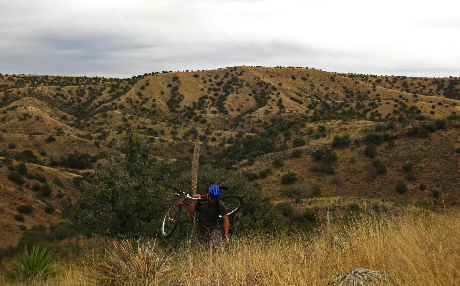
All’s well and good until the kitty cats come out to play. We tried to outflank them, but all routes were blocked with the nasty plant. Where are your chaps when you need ’em?
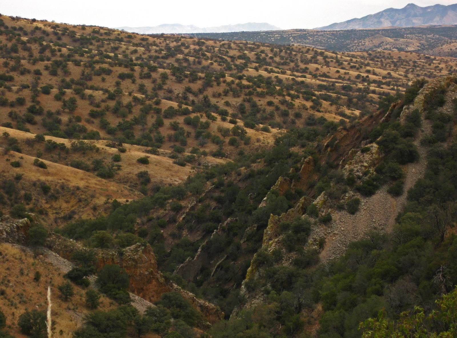
That’s looking back down on the walls that form the bathtub from much earlier in the ride. Lee and Sarenson were ready to bail back down to it, but I insisted we keep the faith a little longer.
We were rewarded with rideable singletrack along a fenceline. I spied a well beaten path dropping back to the Bathtub — a potential future route. Instead we continued on the trail, only to find it went super duper fall line.
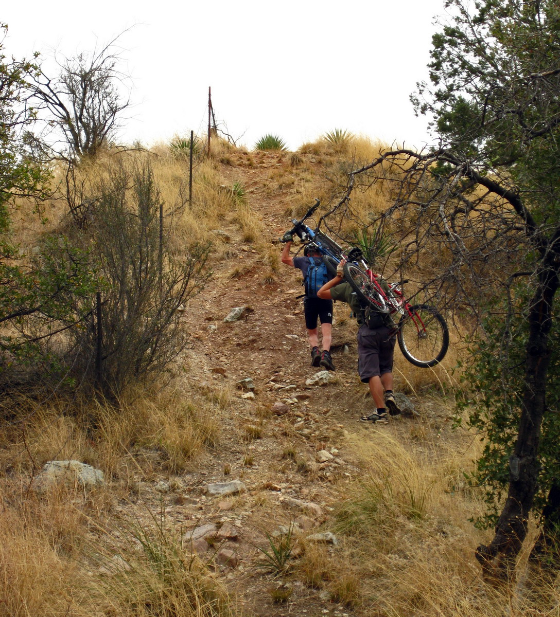
Ugh. The Thrash-o-meter got a little high, but soon enough we were high above Casa Blanca, and on the downhill run. To have a open, rideable surface was a treat. For a double track it was quite the flowing descent.
We figured out one key connection but were stumped on another. There’s still more work to be done on this open question. I look forward to it.

Good stuff that, exploring and stitching bits and pieces together over time.
Ed
Oooofah. Proper flogging.
Very cool. I haven’t been to the bathtub in a loooong time.
YYYEEEHHHAAAAWWWWWW!!!!
Puttin’ them ponies to good use!
What a fantastic write up!
wonderful.
jj