
TopoFusion’s 20th anniversary!! v5.76 released
September 16th, 2022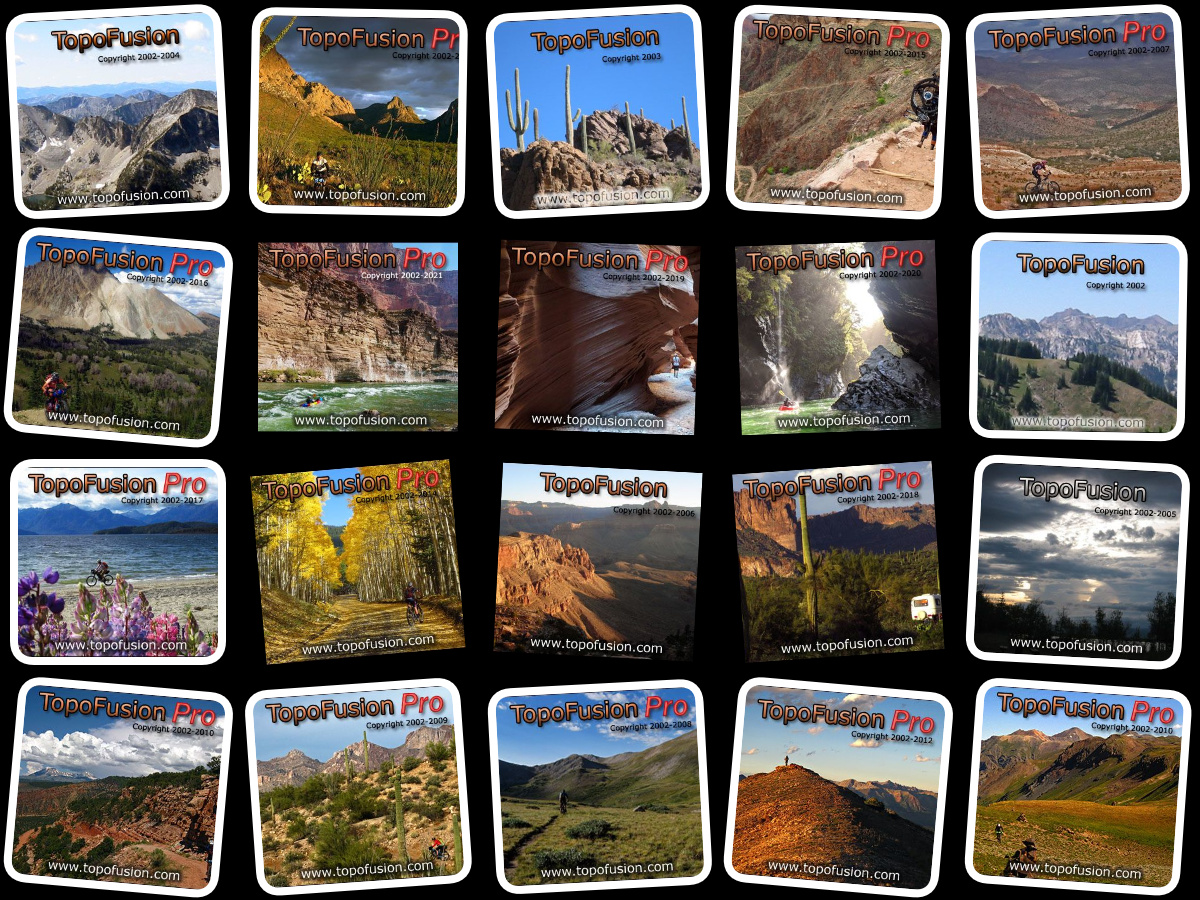
Twenty years ago we released v1.0 of TopoFusion. We want to thank all of our users for the support and for using the software over the years. We still love it and are quite happy that it continues to be relevant (Scott Morris uses it nearly every day for adventure planning and for route manipulation for Trackleaders.com).
We released a new version to help celebrate. Version 5.76 which upgrades / fixed access to the very important land ownership data layer.
Here’s to twenty more years!!!
——–
5.76 – 9/16/22
20th anniversary of TopoFusion’s release!! V1.0 was released 9/16/02.
Thanks for everyone’s support over the years!
Upgraded support for US Landownership layer to PADUS_3
5.75 – 6/2/22
Restored access to USGS Topo Map tiles
Fixed issue when waypoints won’t load in File Properties Dialog
NMEA debugging output limited to first 1000 messages (to prevent large debug files)
New 2022 Splash Screens
5.72 – 1/25/21
Upgraded support for US Landownership layer to PADUS_2 – the most current data
Old data may become unavailable in for older versions of TopoFusion
Fixed ‘downloading’ toggle not shown on ‘disabled’ dialog
UTM and LL grid lines can now be disabled by setting grid width to 0 or grid
alpha to 0
New 2021 Splash Screens
Fixed inconsistent climbing elevation in Profile Window. Profile mouse tool
was not using box filtering, vs right click “Profile” and active window were.
5.71 – 6/9/20
Fixed intermittant crash when panning/downloading maps, introduced in 5.7
Fixed swapped UTM East/North coordinates in waypoint dialog
Returned ‘D’ shortcut key for Draw Tracks Tool
Fixed about screen to display Basic version