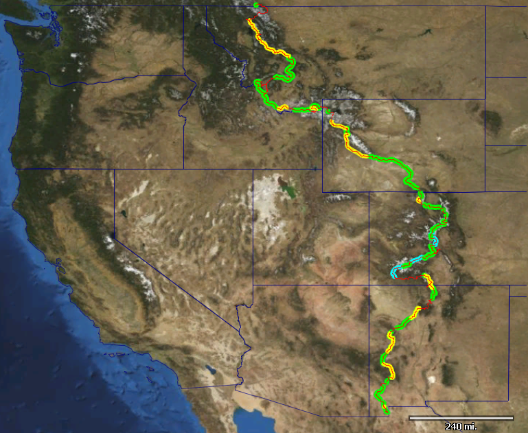
Mountain bikers are relatively new to the long distance trail world. Bike technology has come a long way, and ultralight bikepacking gear has made camping and riding singletrack possible. Only in the last fifteen years have bikepackers started tackling difficult singletrack routes like the Colorado Trail and the Arizona Trail. But one trail remained relatively untouched by bikepackers, and it is the granddaddy of them all — the Continental Divide Trail.
There are three major long distance trails in the US — the Appalachian Trail, the Pacific Crest Trail and the Continental Divide Trail. The first two are summarily closed to bikes. Only the CDT is (mostly) open. It is also considered the hardest and most wild of the three. Yet no one had attempted to to thru-ride the trail… until now.
It’s been a dream of mine to tackle the CDT for years. It was a daunting task, full unknowns and major map work. I figured I would need 4 or 5 months to complete its 3100 miles, due to the difficult terrain and hike-a-bike. It wasn’t an endeavor I wanted to pursue alone. Enter Eszter Horanyi, an accomplished bikepacker and my girlfriend. She holds nearly every bikepacking record worth holding, and somehow I was able to convince her that spending a summer pushing our bikes along the divide was a good idea.
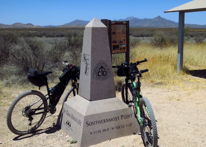
So we leaned our bikes against the start obelisk at “Crazy Cook” on the Mexican border.
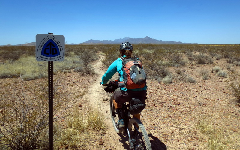
At first there is a wonderful singletrack. It lasts about a mile.
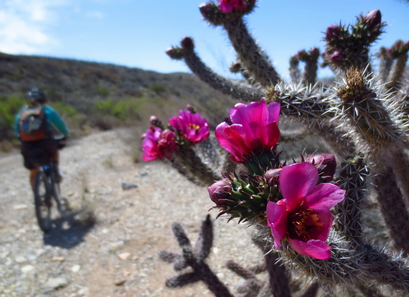
The route then deteriorates into a non-trail. Sometimes it follows washes.
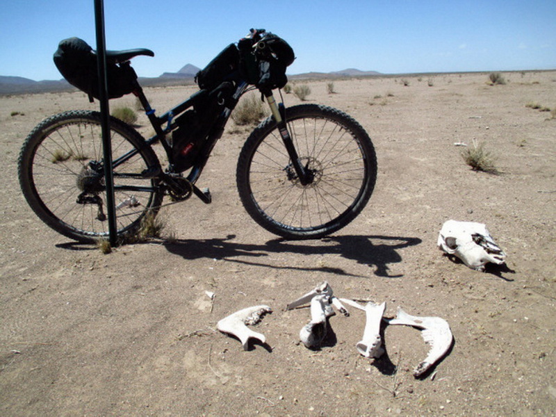
Other times you simply strike your way across the desert, cross-country. Eszter’s bike is right on the “trail.”
We worried about whether our tires would hold air against the desert plants. We worried that we’d end up walking the majority of the first one hundred miles, where no trail has yet been built. But the thru-hikers in front of us had beat in a nice “trail” in some places. We made the crossing of this remote piece of Chihuahuan desert in just two days, and loved it.
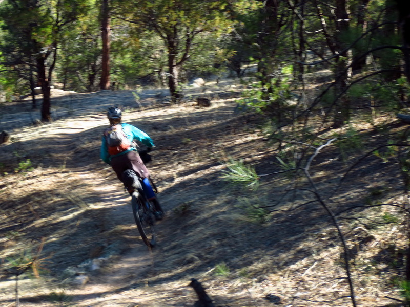
We were stoked to reach the first actual singletrack, near Silver City. We were even more stoked that it was *good* riding.
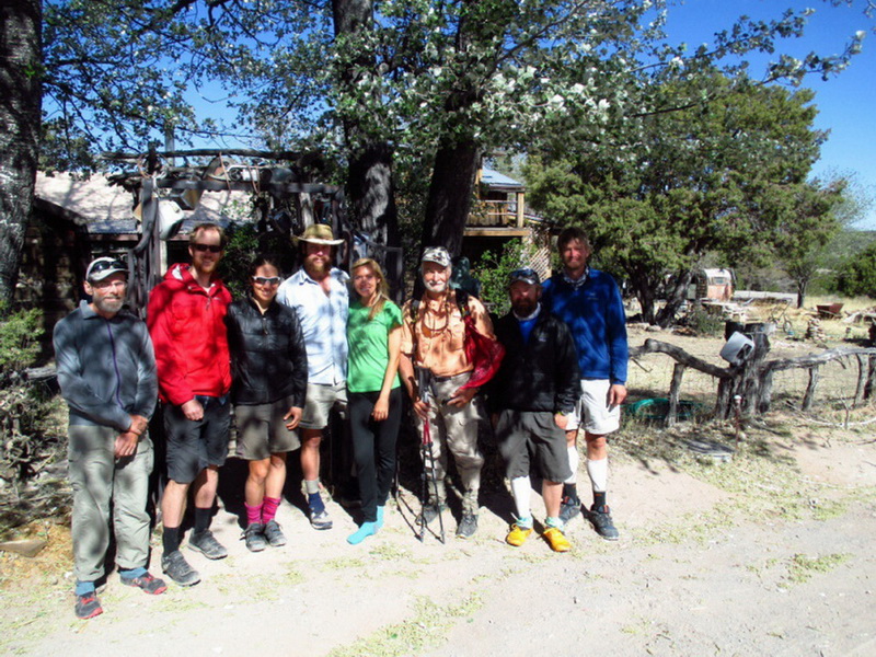
We began catching thru-hikers on our way to Pie Town. It was amazing how quickly they accepted us into the trails community, despite not fully understanding what it is we were doing. Yes, we are actually riding the singletrack CDT — not the dirt road Great Divide Mountain Bike Route.
We made some great friends out there amongst the hikers.
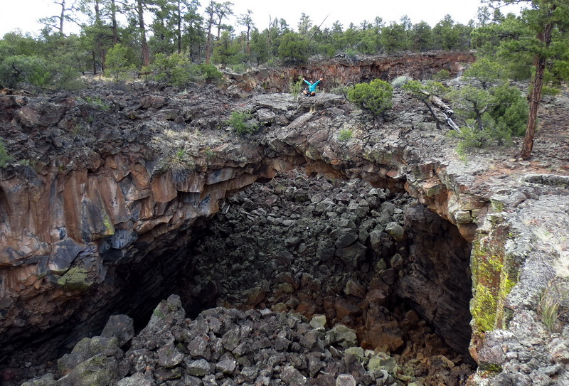
A big challenge for a CDT rider is avoiding Wilderness, but we found a few places where even non-Wilderness CDT is closed to bikes. In this case, instead of riding the CDT we’d hoped, we took a detour to explore the lava tubes of the El Malpais.
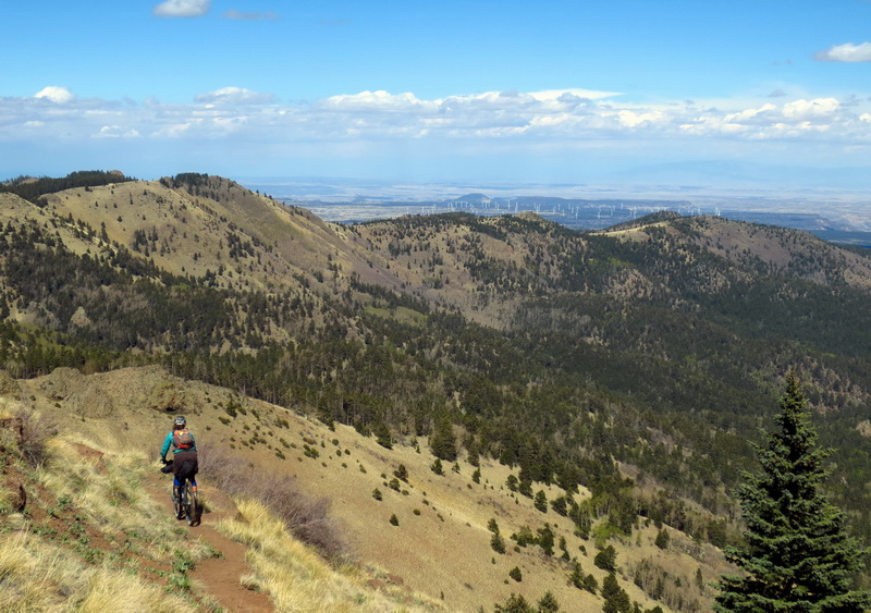
We pushed our bikes to 11,000 foot Mt. Taylor, and were rewarded with endless descending and the most refreshing water source in all of New Mexico. With all the information available for CDT hikers, finding a water was rarely a problem, though we did sometimes carry multiple full bladders.
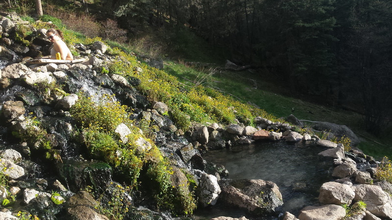
Sometimes Wilderness detours aren’t so bad. Our invented route in the San Pedro mountains led us to a semi-hidden and beautiful hot spring.
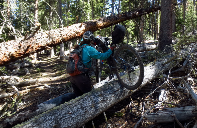
Sometimes Wilderness detours are bad. We took a chance on a squiggly line on the map — the Canones National Recreation Trail. We found it covered in trees. It took us 4 hours to cover 7 miles, almost entirely downhill.
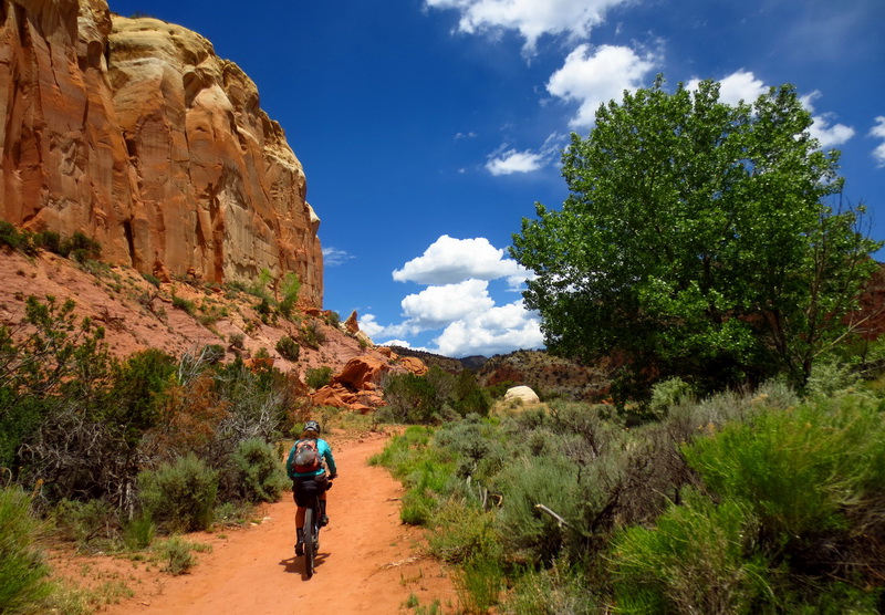
Luckily our next stop was a retreat called Ghost Ranch, nestled between red rock cliffs reminiscent of southern Utah. We needed the rest for the heinous hike-a-bike that waited behind the ranch. For the next week hikers would ask us, “how did you get out of Ghost Ranch?”
“The same way you did — on foot!”
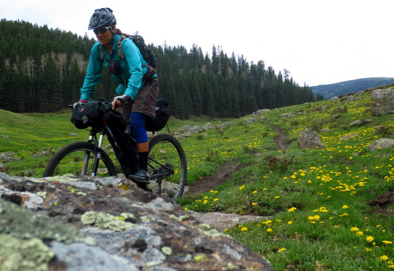
Northern New Mexico was a magic mix of forgotten tracks and explosions of dandelions.
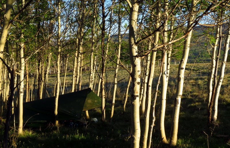
Our camping gear was minimal — no tent and just a small tarp that we only set up if it looked like rain. One pound sleeping bags barely kept us warm, but the upside was that they kept our bikes light for pushing!
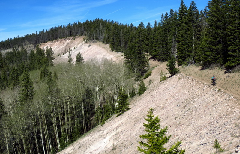
If you haven’t ridden the CDT outside of Chama, NM, you are missing out. It’s prime backcountry singletrack that few travel, but is accessible enough for day rides.
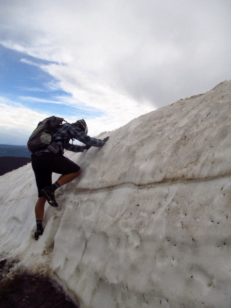
We began encountering deep snow in Colorado, which wasn’t too much of a surprise. It was early June. The solutions hikers came up with ranged from walking lower roads, to “flip-flopping” up to Wyoming in order to return to Colorado later. We wanted to keep the trip continuous, and also had to detour for the massive San Juan Wilderness, anyway.
So we dreamed up an off-road route from Pagosa Springs to one of our favorite towns, Durango, CO.
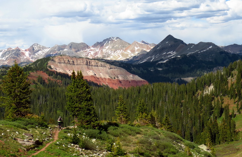
We spent almost two weeks there, riding locally, working on our laptops, and waiting for snow to melt. Our route out of town was clear — the Colorado Trail! The trail to Silverton is perhaps the quintessential Colorado bikepack.

After Silverton we rejoined the CDT for a segment called Cataract/Coneys. We found deep snow and even a few new snowflakes as we traveled through this otherworldly and very high landscape.
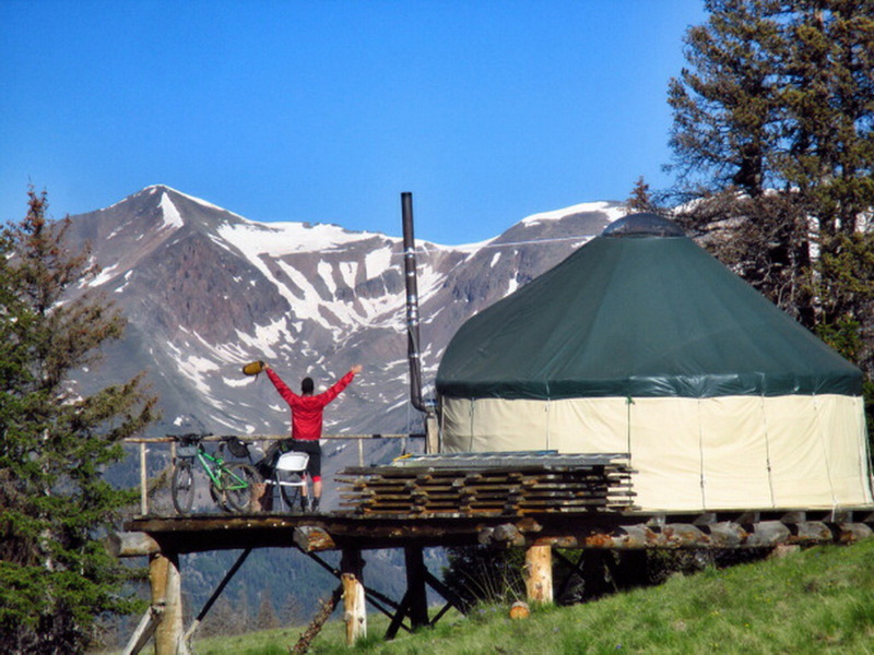
Our favorite night of the trip was spent in this yurt, right at treeline. It was the perfect remote refuge from the brewing storms and ripping wind. The next morning dawned bright, and we took a gamble on another squiggly line that we had no beta on. The Camp Trail was our best option to resupply in Lake City, and it turned out to be perhaps the best descent of the entire trip — techy roots and Star Wars gliding through the aspens.
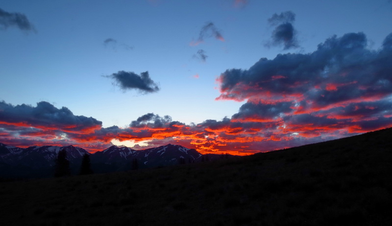
Traveling on the divide means camping on it, which usually leads to impressive views and perfect locations for sunset watching. We were privileged to witness a number of fiery ones.
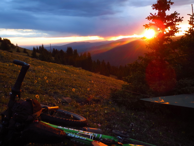
This was one of our highest nights, spent on the ‘other’ Monarch Crest trail. Few people ride this section because it’s steep, rocky and barely rideable. Luckily the miles before this were on the real Monarch Crest trail, and they were pure bliss.
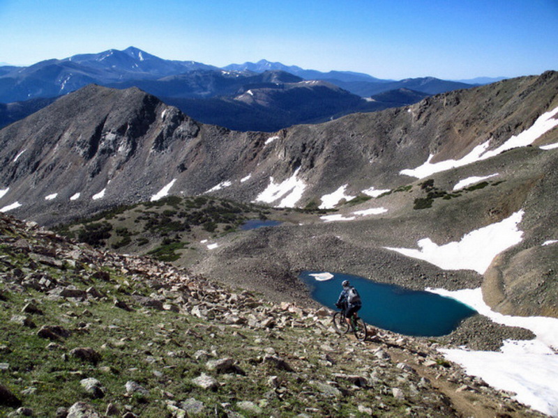
Making our way through the Collegiate Range and central Colorado was a treat for us. The Colorado Trail is familiar ground, and we got to visit with many of our friends. Some even joined us on the trail for a day or two.
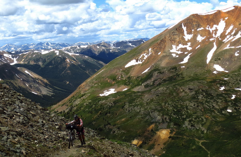
While the CDT shares some length with the Colorado Trail, it’s different enough that it felt like a CT+ route. We climbed a number of extra 12,000 foot passes and even spent some time just above 13,000. The climbing above treeline is always worth it, but it did start to wear on us.
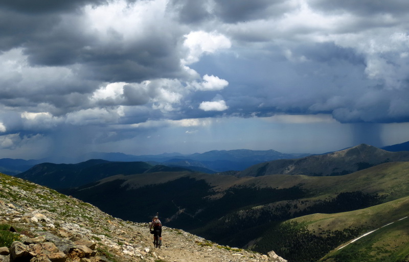
The daily threat of thunderstorms also started to weigh on us. A few nights we went scrambling for roofs to stay under rather than rough it out in the rain.
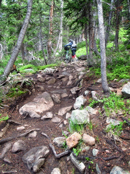
This is not bike-friendly trail — unloaded or loaded. But if you stick with it, the trail pops out of the trees, out of the mud and into an incredible alpine landscape.
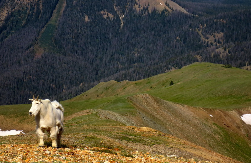
Meet the guardian of Parkview Mountain. We shared the summit with a group of thru-hikers from the UK. Other hikers we met had encountered the same goat at the summit — with varying levels of ‘shear’ on his coat.
There’s no trail down Parkview — we descended the ridge immediately behind the goat, but it’s open tundra or rock and is almost entirely rideable!
Even still, this was probably the hardest day of the trip. Despite a dawn-to-dusk effort, we failed to cover 20 miles. Piles of downed trees stalled our progress, storms pinned us in the trees and we had to use our feet for most of the climbs.
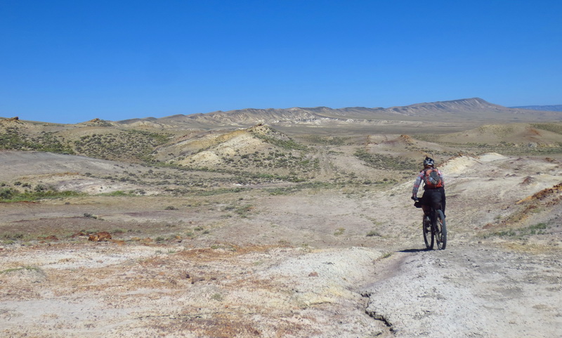
The onslaught of hike-a-bikes, big mountains and daily storms eased up as we reached Wyoming. Through the Red Desert the divide actually splits, meaning that water that falls in the Great Basin reaches neither the Pacific or the Atlantic Ocean. It’s one of the most desolate, and most beautiful, places you can imagine.
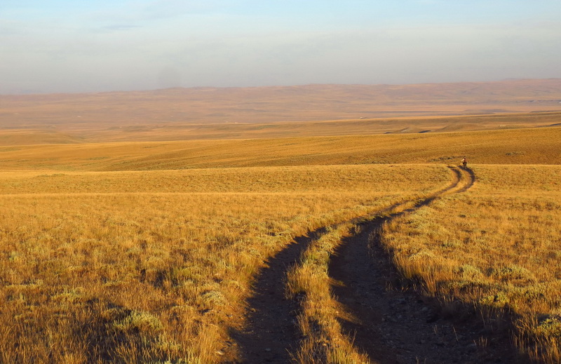
Our bikes were finally starting to do more than weigh us down and get stuck on branches. We were riding, and passing thru-hikers left and right. What took hikers 4 or 5 days took us less than two. Only in a few places, where the 2-track became too sandy to ride, did we wonder if it was wise to be following the hiking route, not the wide dirt road route of the Great Divide Mountain Bike Route.
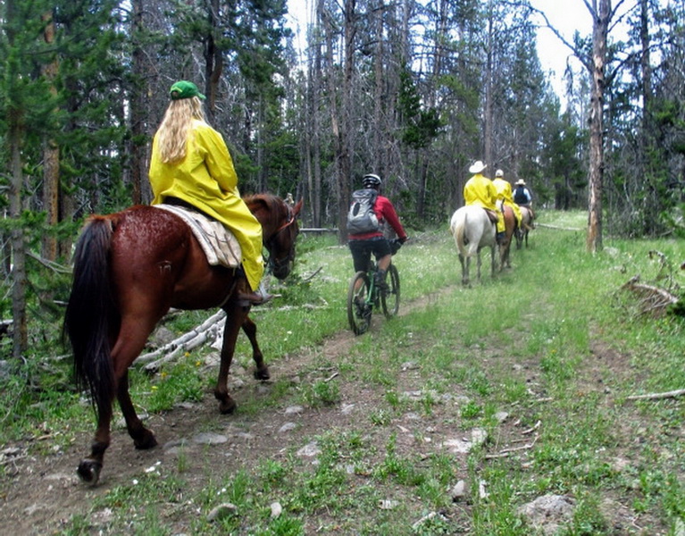
We fought our way through an incredibly difficult stretch of the CDT between the Wind Rivers and Yellowstone National Park. The trail was rarely signed, all but forgotten, and difficult to ride. The views of the Tetons and Pinnacles of Togwotee Pass made the effort seem worthwhile, but my favorite part was this encounter was with these horse riders. We found ourselves riding in line with them, chatting about long distance travel. They loved that we were riding the entire trail and told us that there’s a trail where they live that we should come check out. That trail? The Appalachian Trail!
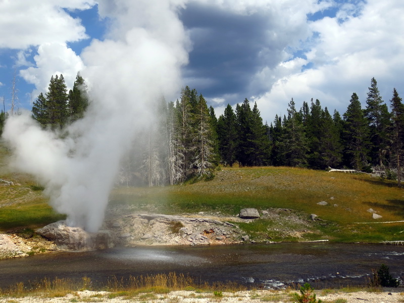
We decided to brave the busy park roads, making our way through Yellowstone and staying closer to the divide and the CDT. It was a good break from singletrack, and the geysers and colored pools are well worth the visit, by car or bike. Some of the roads are reasonable enough, but others are downright dangerous and full of RVs. It’s too bad that the Park Service is so behind the times when it comes to embracing bicycles and getting people out of their cars.
That said, we did manage to find a couple dirt roads and even some boardwalk and brief singletrack that are open to bikes, and it was a much needed break from the stress of RV dodging. We sighed in relief when we safely arrived in West Yellowstone, set to rejoin the CDT. Riding through Yellowstone was probably the most dangerous part of the trip. I’ll take my chances in the wilds any time.
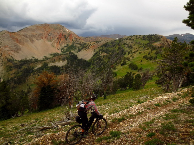
Our introduction to Montana was sublime. The trail scales over 10,000 feet, to the Lionshead, but it does so with well graded switchbacks and beautifully benched trail.
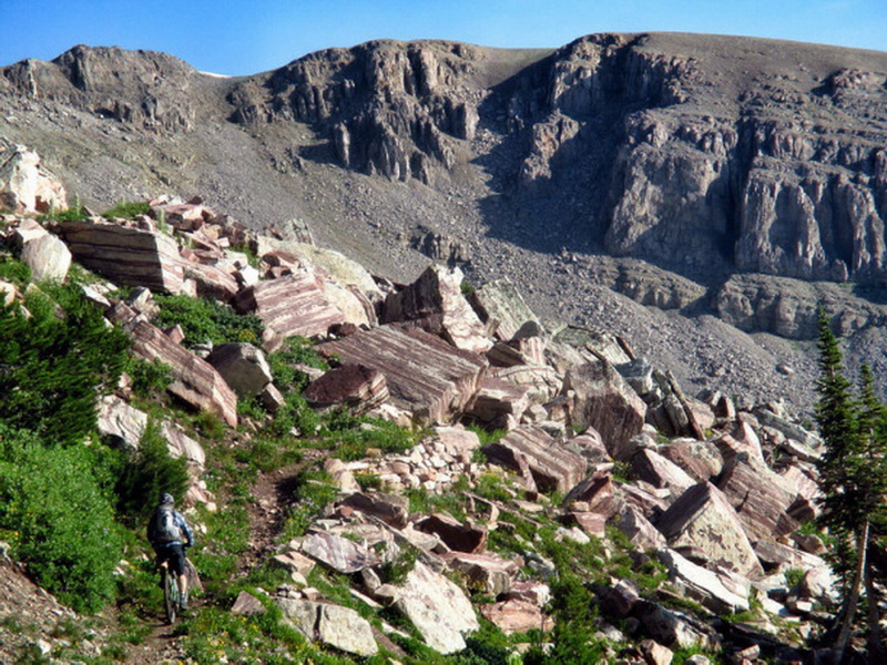
We counted 49 switchbacks on the descent, and I was able to get my bike around all but one of them without unclipping. Beautiful.
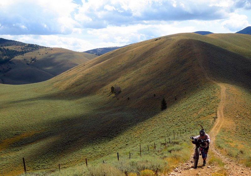
It wasn’t long before Montana started to show its teeth. The route follows the divide and the border of ID/MT very closely. It’s a mishmash of singletrack, forgotten roads, game trails, fence lines and open meadows. One thing is constant — if it isn’t going steeply up, it’s going steeply down.
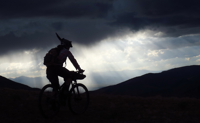
It’s known as the ‘divide rollercoaster’ by the hikers. The other constant is the presence of jaw-dropping views. You’re up high, and usually higher than everything else around.
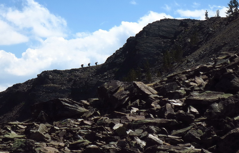
We leap-frogged with these hikers for a few days of the rollercoaster. We had just scrambled (sans trail) to the top of the peak they are heading to, and were in the process of picking our way back down. The community that arises on the trail every year is an incredible thing, and one we were very lucky to be a part of.
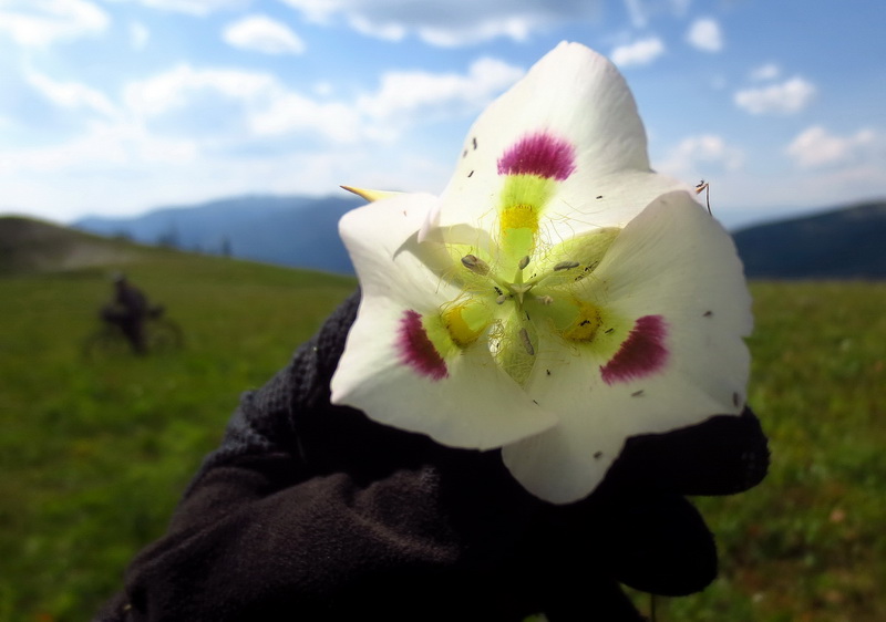
This was my favorite flower of the trip, a giant sego lily of some type, found in the Centennial Mountains.
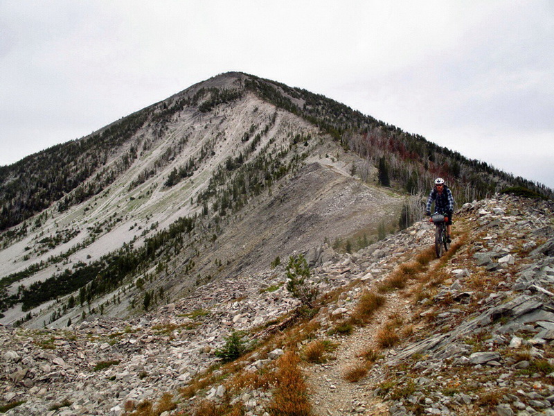
In the Big Hole Valley the cumulative effect of our months on the trail finally started to catch up with us. It was hard to muster the motivation to push our bikes up yet another unrideable hill. It was tiring to sleep on the ground with minimal gear. We were having to tie food at night and worry about bears, too. Plus, it wouldn’t stop raining. We were blessed with good weather for New Mexico, Colorado and Wyoming. But in Montana, our luck ran out.
Fortunately the trail was often indescribably beautiful. Much of this area is slated for cap “W” Wilderness designation, and it sure feels wild, remote and unlike most places mountain bikers are currently allowed. Hopefully these places remain open!
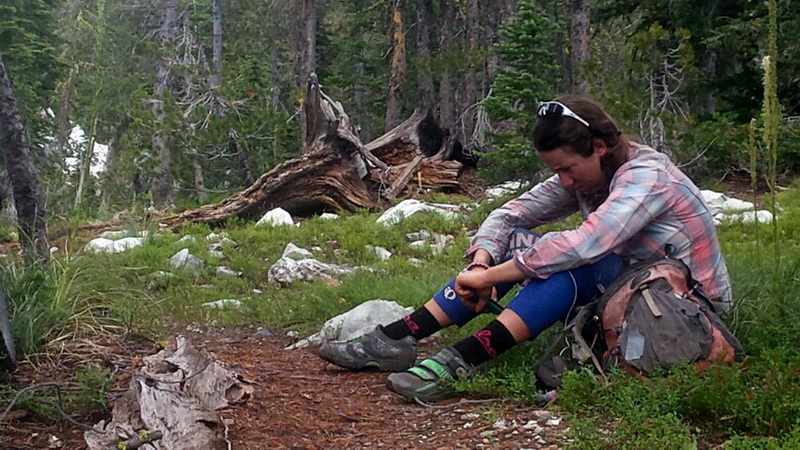
This was the moment that CDTbike was closest to being a failure. Eszter had reached her tolerance level. She had had enough. Enough bike pushing, enough eating crappy food, enough of being tired. It didn’t seem worth it anymore, and I couldn’t really blame her. The long term effect of fatigue on the trail had been deeper than we had expected.
For some reason, we had data service here, and I was able to rally social media for encouragement. Within a few minutes dozens of friends had chimed in with words of encouragement and support. We got back on the trail and rallied over the pass just before the next thunderstorm attacked it.
People are awesome.
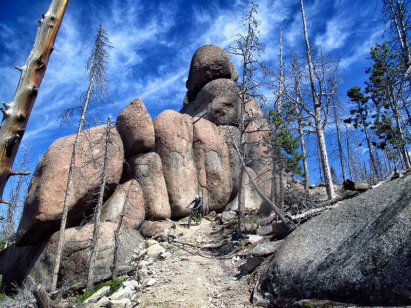
I’m so glad we continued on, because it meant we got to ride the brand spanking new CDT sections near Butte. These are built to high standard and meant we spent far more time riding our bikes than walking them.
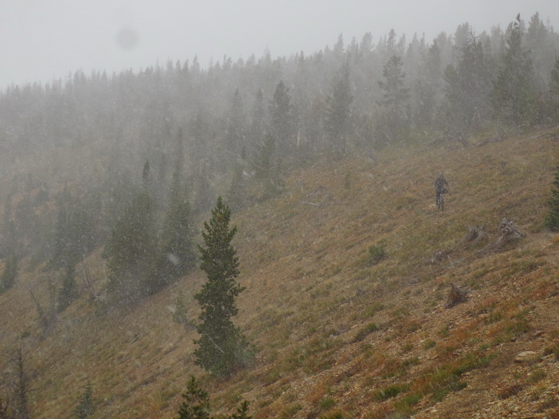
After Butte the trail regained its normal character, throwing all sorts of challenges at us, but we could sense the end. A huge collection of Wilderness and National Parks meant that we were done with the bike-legal CDT at the town of Lincoln. We weren’t to Canada yet, but the end felt near.
As we neared Lincoln, we dragged our bikes up the ill-visited Black Mountain, setting up camp on its flanks. A winter storm moved in overnight, and we had the pleasure of watching it develop and interact right on the divide. The wind tried to blow us to the Atlantic Ocean while the snowstorm was dumping towards the Pacific. Eventually the blizzard broke over the divide, and we hurried for the warmth of lower elevations and the comforts of town. We had finished the bike legal CDT, but a few hundred miles yet remained, and winter was bearing down us. We had to hurry.
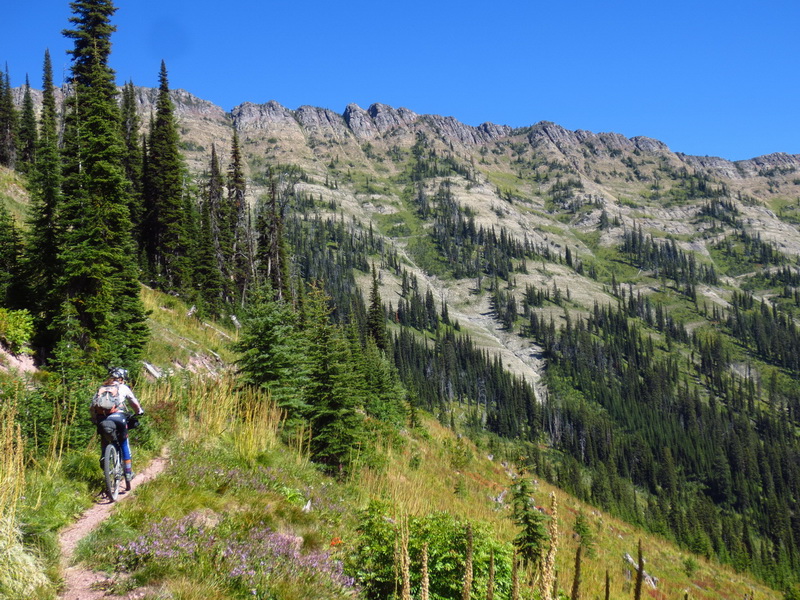
We took our longest stretch on the Great Divide Mountain Bike route, and luckily it is one of the best. When we tried to deviate from it to explore more singletrack we quickly found that our minds had quit when we exited the CDT. Hike-a-bike was intolerable. The views were not worth it. Canada was calling and winter was right on our doorstep.
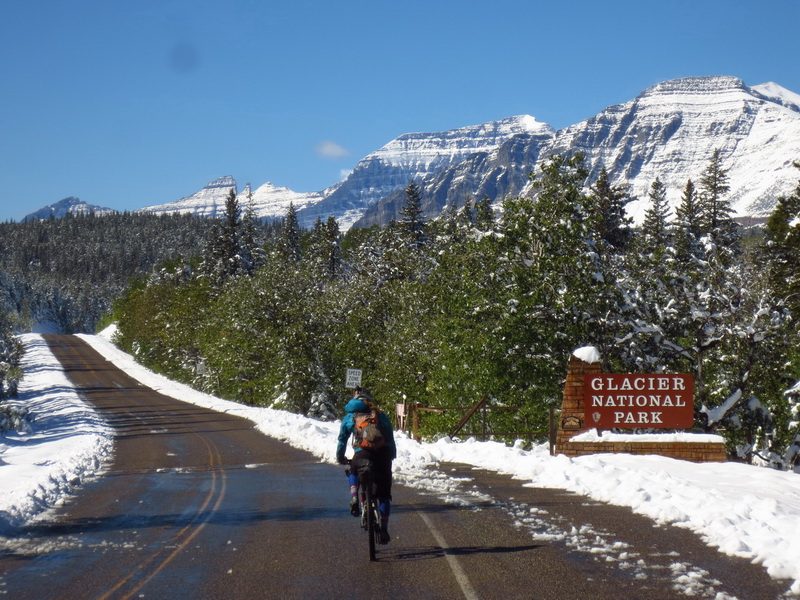
We pedaled through Glacier National Park and made it over Logan Pass before the cold front could hit. But the east side of the divide was socked in with a storm, and the storm dumped over a foot of snow. Even though we had mostly roads to go, we were unprepared to ride through such conditions and camp out in it. We waited for clear skies while watching bad movies in a little motel room in Babb, Montana.
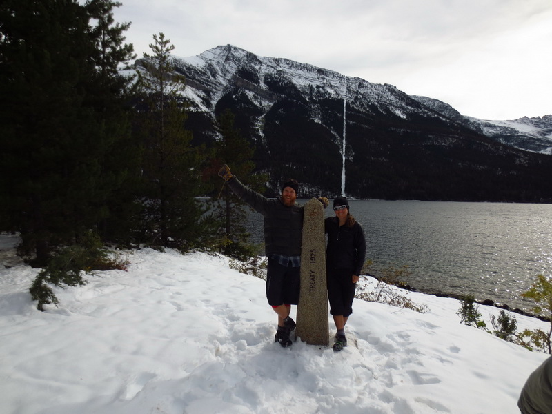
The sun did rise, and begin to melt the early snowfall. We crossed into Canada and pedaled into majestic Waterton National Park. From the townsite of Waterton, we stashed our bikes and hiked the four miles, southbound, to the official terminus of the CDT. Four thru-hikers came up and we all celebrated our incredible journeys together. It had been four months to the day for us. We’d covered some 3700 miles and climbed nearly a half a million feet. We’re still recovering from the journey, but feel incredibly lucky to have had the time, ability, opportunity and company to pull it off. It was a hell of way to spend a summer!
For *much* more, head here:
http://www.topofusion.com/diary/cdt-2014-diary/
Full journal entries, photos, GPS data, statistics, et cetera!
