The signage claims it is only 74 miles from Durango to Molas Pass, but I’m not buying it. It has to be more. As soon as I get to a copy of TopoFusion I will have to do an investigation. Anyone who has ridden it, even unloaded and in the favorable direction (opposite of how we rode it) would agree: it seems a lot longer.
It’s not really a bad thing… It’s the San Juans and much of the time you hover at or above treeline, which is a magic place to be. But it’s not an easy place to be. Views and miles are hard earned.
For us even many of the downhills were hard earned. Most of the big ones were north facing, so we were walking or sliding slow down through mud. It was never all that bad, but compared to coasting down dry trail, it was slow.
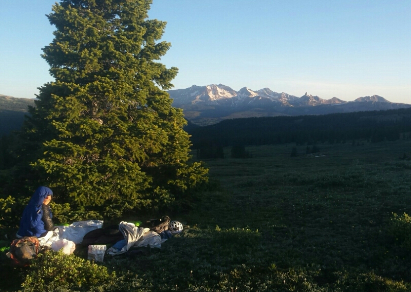
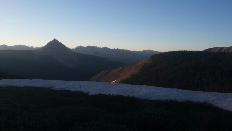
The morning started with the gargantuan view we paid for with a late night push to treeline. The ground was cold, sleeping only feet away from a large snowfield. But the air was warm and the sun even warmer.
I conducted a bit of software engineering on the phone as I stared at Engineer Mountain. We’d be going around it pretty much all day.
The trail ahead was the only small piece of CT we didn’t actually ride last summer. It was a great piece and some sweet downhill.  We found the same snowdrifts by cascade creek that we saw last weekend. They were smaller but still flow killing. It felt strange to know what was coming ahead, having just been here.
We’d heard from backpackers along the way that there was still a big cornice and quite a bit of snow on Rolling Mtn Pass, so we decided to contour around it, as we had on the day ride with Cat, on the White Creek trail. Any time you can contour above treeline… take it!
Eszter put some music in her ears for the hike-a-bike back to the CT. I followed suit, dancing as we pushed our way alongside a giant cascading waterfall. Contrasted with the red dirt and green grass, the white water was mesmerizing and good motivation to keep pushing upward.
I had only pushed up this trail once last year, and with no snow, so it seemed long and mucky to me. I made the mistake of thinking conditions would improve as we rejoined the Colorado Trail, but at 12,100 feet we still found large drifts and lots of muddy trail. Looking back at Rolling Mtn we knew we’d made a good choice in skipping it.
It took a while before the CT dropped enough to be relatively snow-free. It was a little frustrating, thinking we were on the homestretch, but still finding snow and mud, and rocks and climbs. For a couple minutes I lost perspective and had to bring myself back to how lucky we were to be out here, snow, mud, awkward-rocks-for-loaded-bikes and climbs notwithstanding.
So it took a little longer than expected to contour around the long cliffs of Molas Pass. All the desending is right at the end, but boy did the cold alpine wind feel invigorating as the dust flew and the burgers of Silverton grew closer.
Soon we were coasting down the highway, noses taking us straight to the Brown Bear cafe, where calories turned us from haggered to human. We checked into the Blair St. Hostel for a cheap room and saw a number of familiar CDT names signed into the guestbook. Good little place to stay and recover.
Next we have the legendary CT/CDT sections of Cataract Lake and Coney Summit. There are no easy miles up there either, and even bigger views. Probably lots of snow, too. Can’t wait to get up there.
Since I can only add photos from my camera to these posts, head over to Eszter’s blog for some real photos of the riding in this stretch. She got some keepers!


Leave a Reply