CDTbike photos from the first 200 miles, to Silver City, NM!
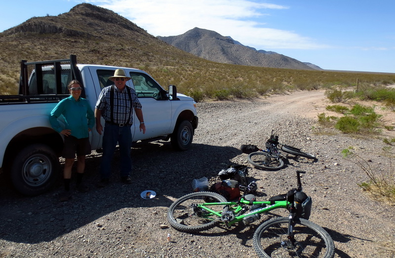
Roger Payne, man of leisure (according to his brother!), dropping us 28 miles from Crazy Cook. What a guy.
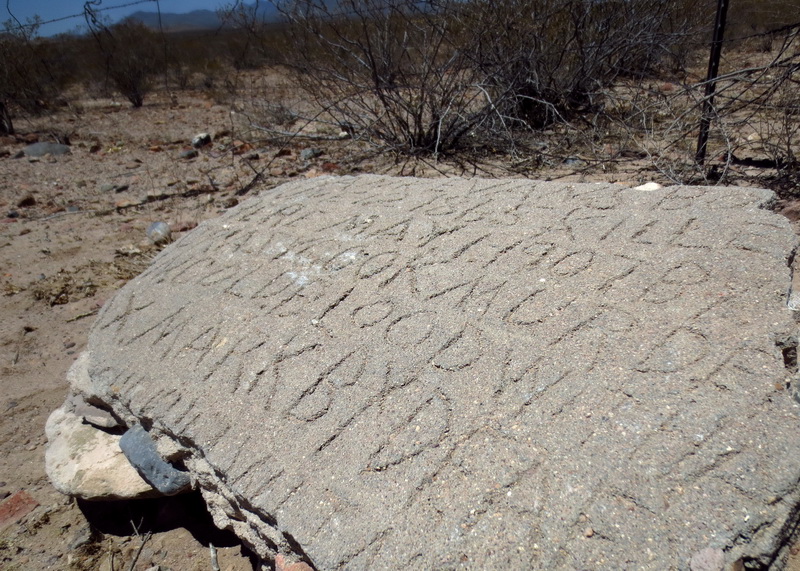
The story of Crazy Cook, much of it obscured by the sands of time. We’ve heard a few variations of the tale.
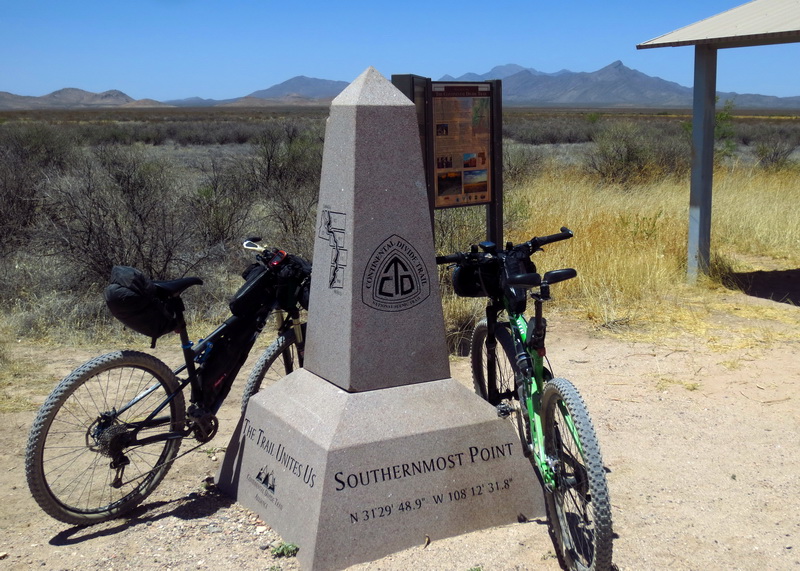
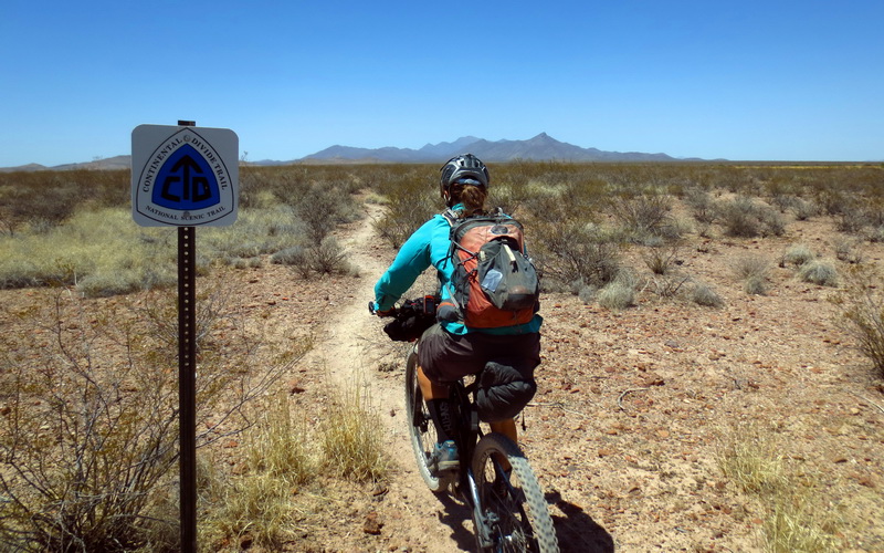
Start going north at the Obelisk. Only 3000 or so miles to go!
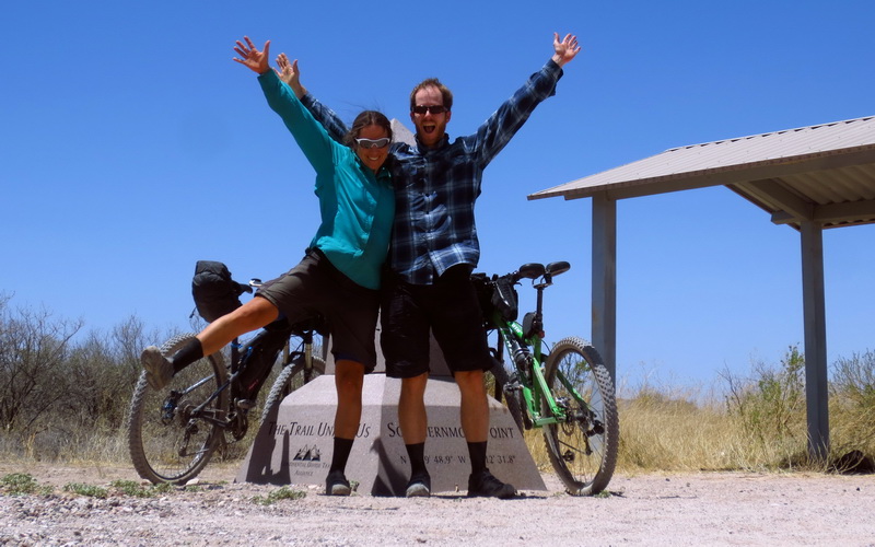
Worthy of celebration. CDTbike begins!
Very first piece of CDT. It exists and it’s rideable!
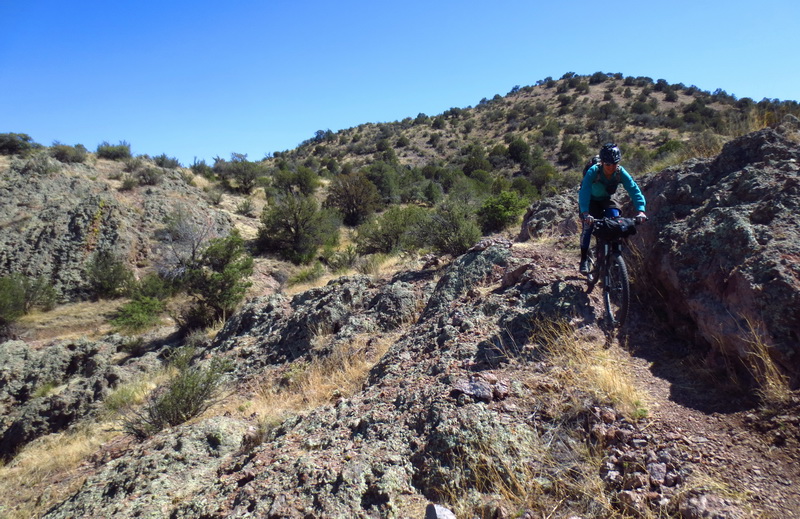
Climbing a wash into the Big Hatchet Mountains.

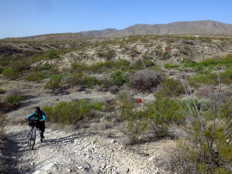
Most of the Big Hatchets was in surprisingly rideable and nice washes.

Cache boxes keep CDT travelers watered up. This one was getting low (Sheridan Canyon).
First section of XC riding away from the Big Hatchets. Rideable!

Until it wasn’t. Sharp plants, and sand!

Thank you Stans!
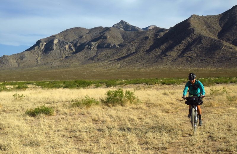
Big Hatchets as seen from the Little Hatchets. Beautiful evening for pedaling.
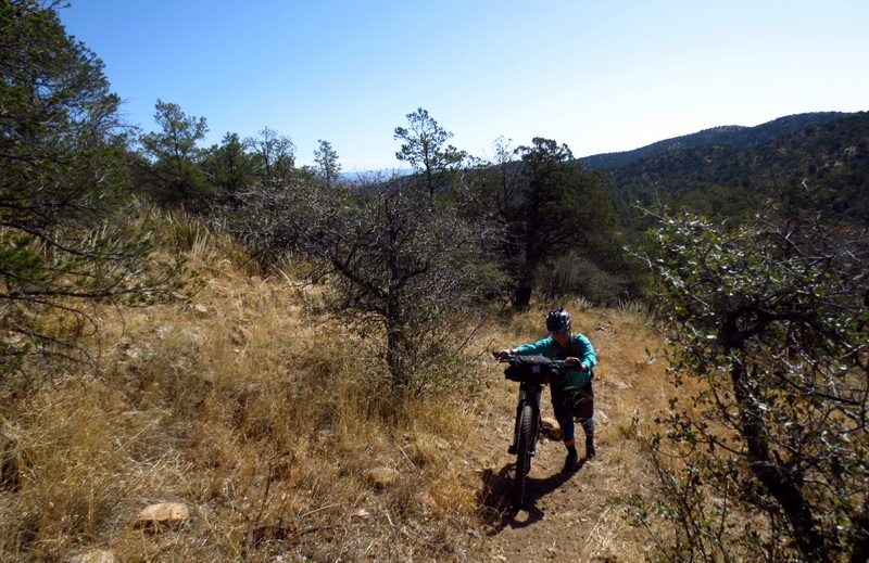
Hike-a-bike… whaaa?
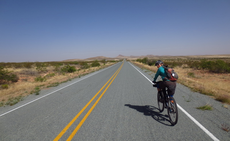
Long straight roads and tail winds. Life is good.
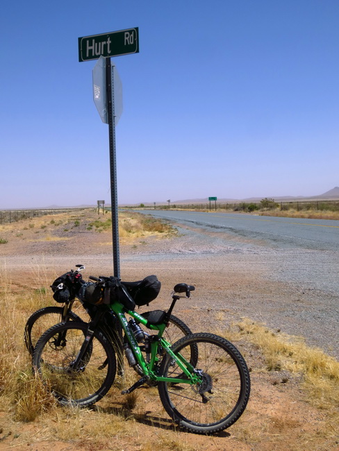
I so wish I could include this in one of my race routes.
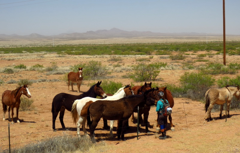
Eszter making friends with the retired ponies. They did not want her to leave.
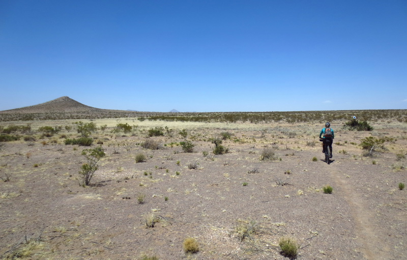
XC begins, though with 150 hikers in front, it’s nearly singletrack.
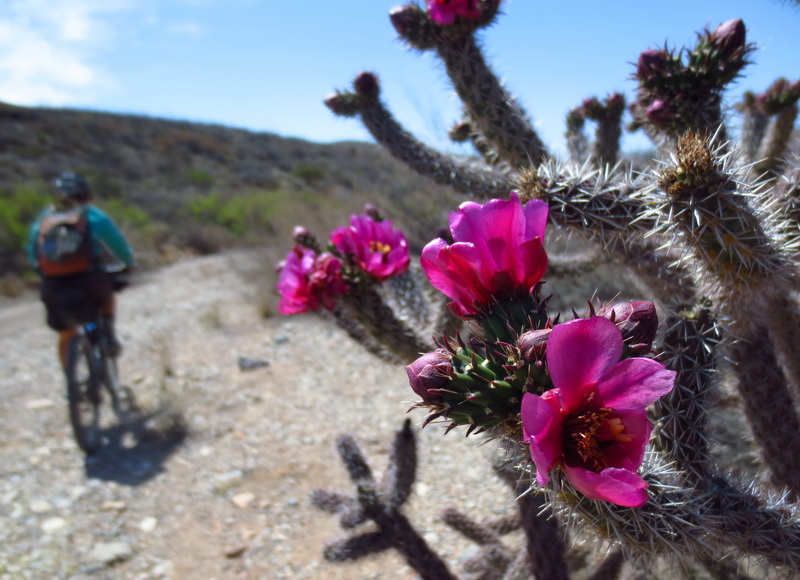
XC across the prairie, exceeding all expectations!
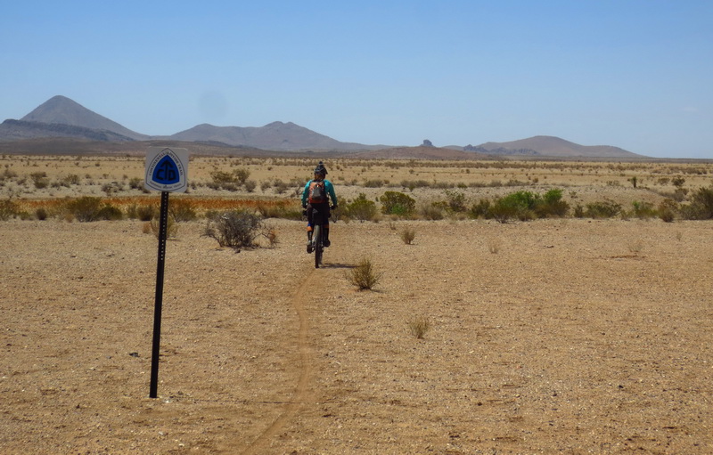
Impromptu CDT marker.
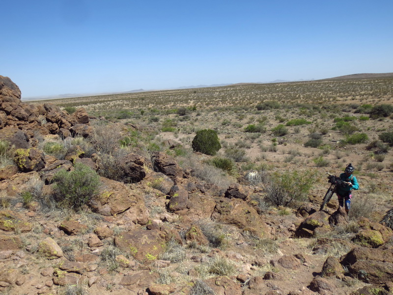
Pile ‘o rocks with no trail = climb-a-bike.

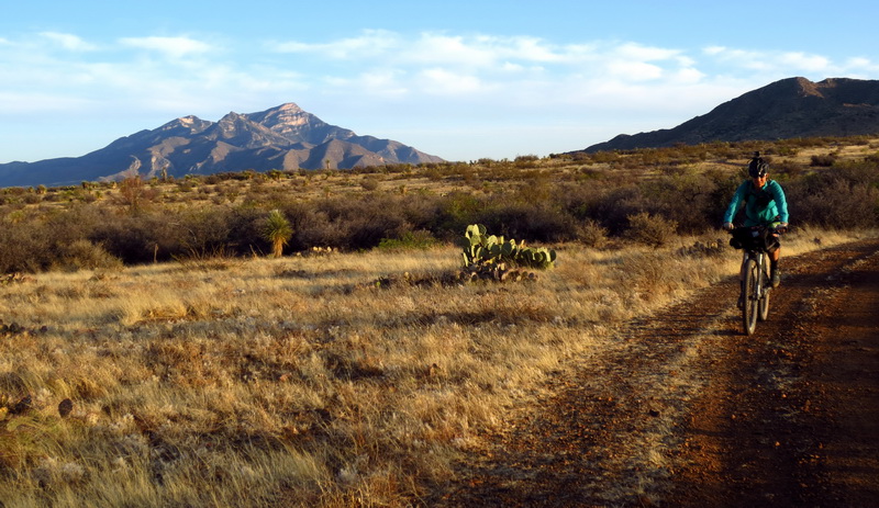
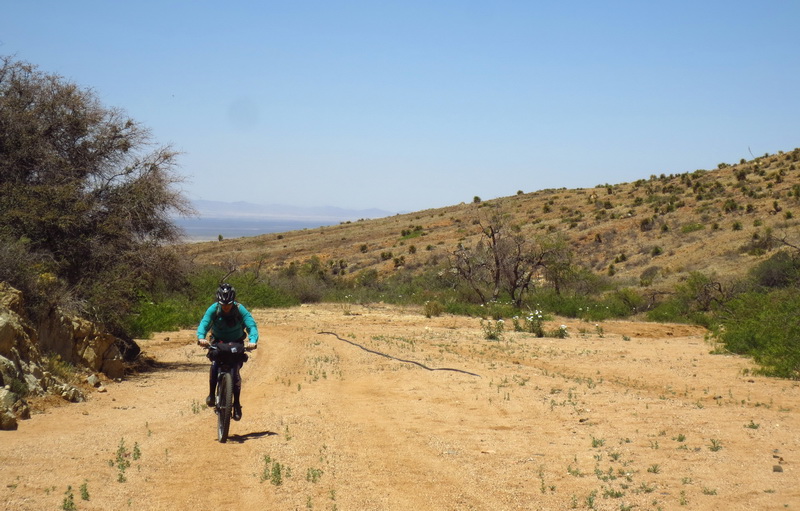
Hard packed 2-track around Pyramid Peak.
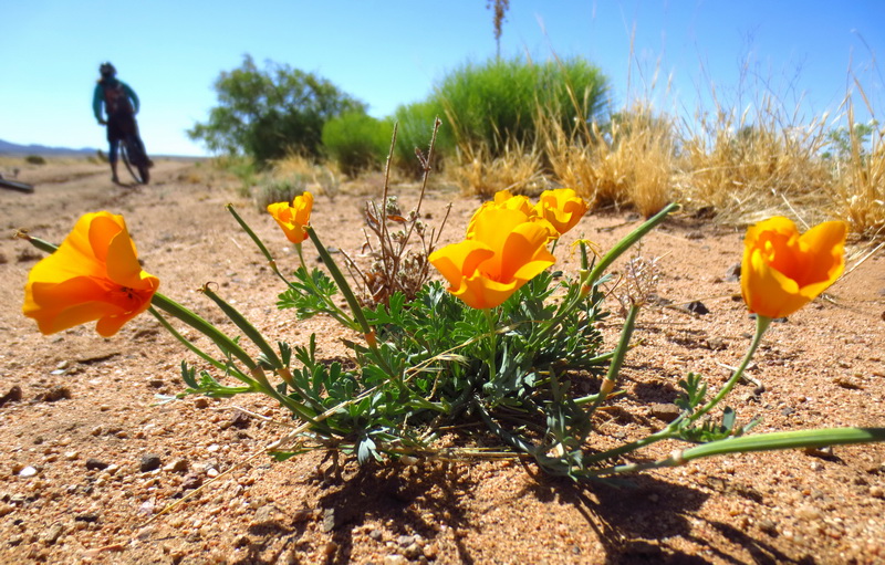
Wind battered poppies. Wind battered cyclists on the gasline out of Lordsburg.
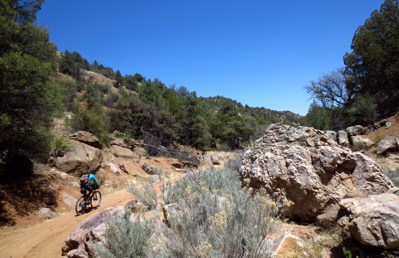
Sandy washes climbing around Gold Hill.
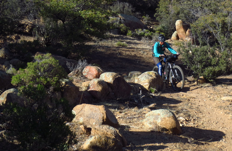
First constructed-as-such singletrack on the CDT, after 100+ miles. Well worth the wait.
Errr….

There we go!
More of that, please!

First thru-hiker, City Food.
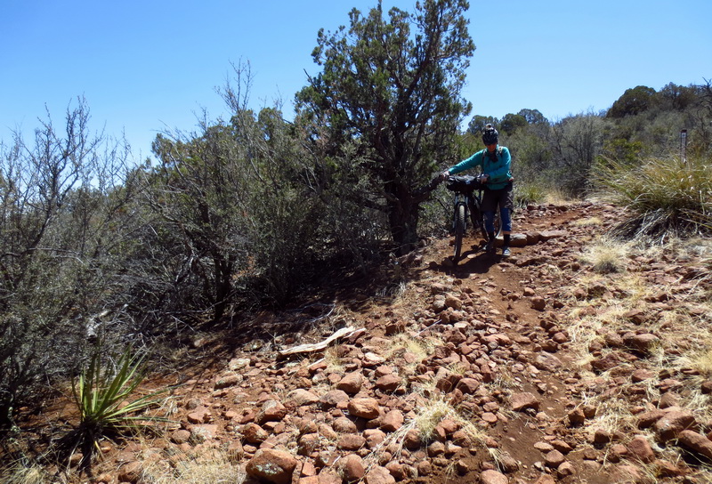
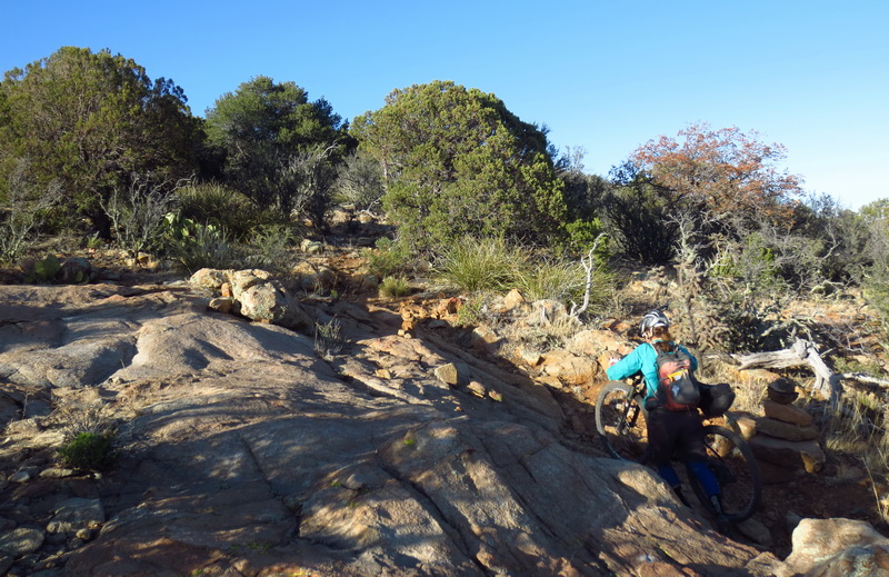
Tech and rock on the Burro Peak Trail.
Singin’ “I love Hike-a-bike!”
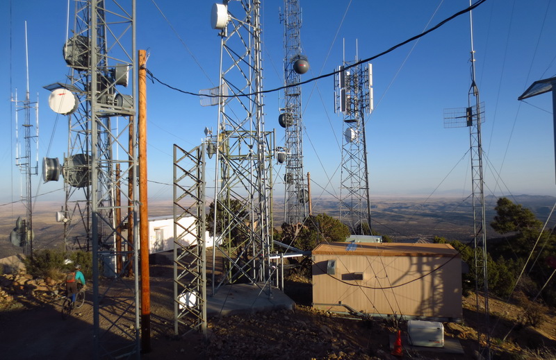
Impressive array of communications. Impressive view. Good 4G coverage :). Jacks Peak was well worth the detour.

Burly trail for the final push to Burro Peak.
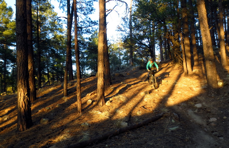
Burly up, blissful down. Unexpected pine needle, banked turn, stupid fun trail!

Swoopy swoop.
Heading onto seldom used CDT. Hikers take a shorter route into Silver City.
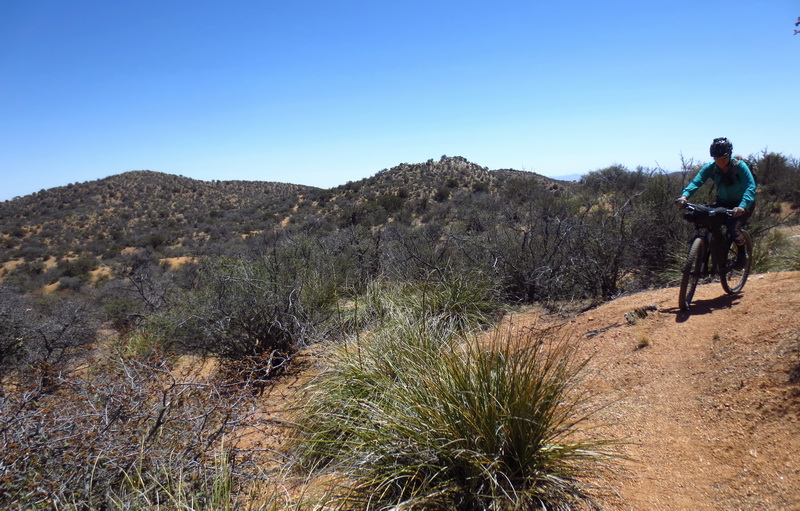
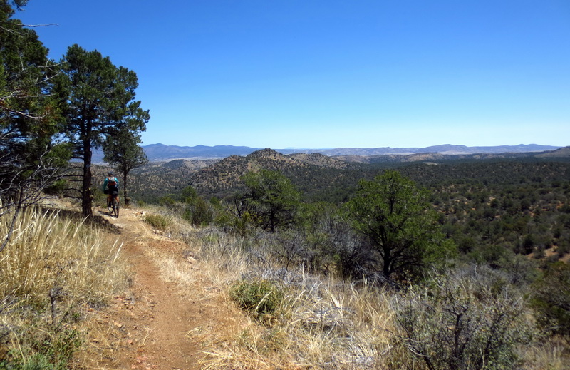
Terrain and trail design straight out of the Canelo Hills (on the AZT). I could easily pass this photo off for the Canelos.
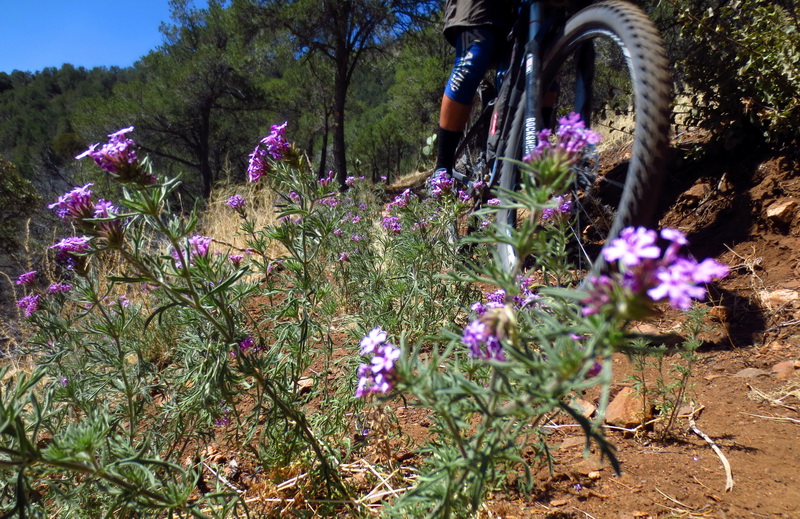
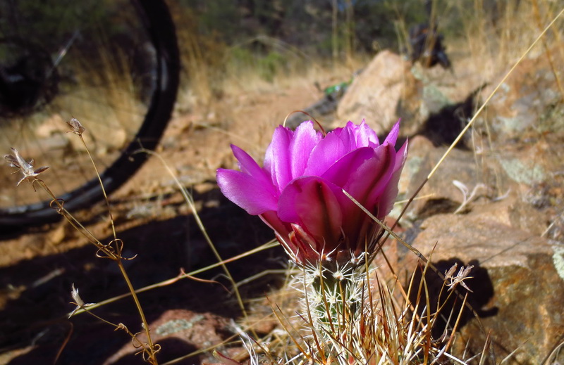
Purples and lizards abound.
A final piece of beautiful contouring trail.
Dropping into Saddlerock canyon.

Unexpected purple slot in Saddlerock.
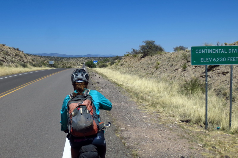
The pavement grind into Silver City, with nary a calorie between us. The extra singletrack was worth it.

Great pics Scott,
What is that butt-cheek saddle your using ?
Thank
It’s called a Spiderflex, which I heard of from Kurt Sandiforth, currently on world tour. It probably deserves a post of its own, perhaps on bikepacking.net. Super comfy saddle for long rides and tours, but for actual MTB’ing you need a dropper post and no seat bag. Having a dropper while touring is pretty awesome…
This is waaaaaay too interesting. Your journey is killing my sleep for work tomorrow.