We were overdue for a big ride or two. High time for a bikepack. Psyches aching for some adventure. Knees still aching, but good enough.
So we took the map down to the Animas River, and started waving our fingers at it. It was almost too easy to come up with a loop that was a good mix of old and new, close to town and high elevation. The loop was too big for a single day on recovering knees, so we loaded the bikes and headed out in the afternoon.
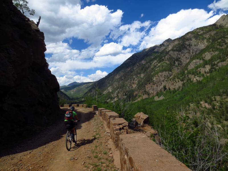
Maybe two hours from the finger waving session we were on our bikes, climbing old Lime Creek road. The stone guardrails told us this used to be a major road. It was delightfully chunky and free of cars. It got us most of the way to Molas Pass.
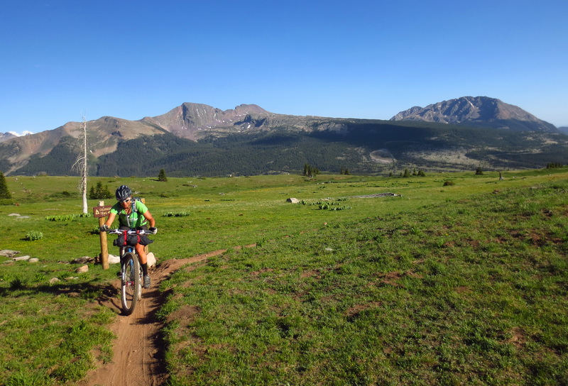
Onto singletrack, onto the Colorado Trail!
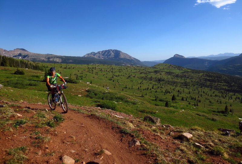
Onto treeline! What a place to be in the late afternoon light.
“I’m tired” may have been uttered. The timespan for a knee friendly ride had been reached.
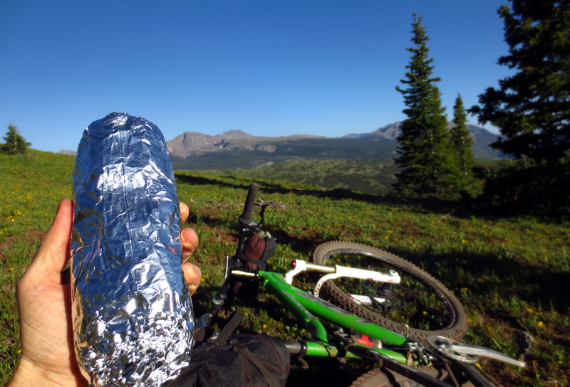
Good by me! I’m starving, and the giant burrito in my pack is calling!
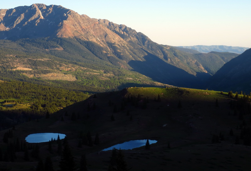
This will do for a campsite view.

Long days. We explored the area on foot, held pinecone races in the creek and generally LOVED being outside.
Sleeping at 11,500′ isn’t everyone’s idea of good rest, but it sure felt soothing and peaceful.

Come morning, singletrack called. No decisions to be made, no car to load, no breakfast to be made, no computer to suck us into distraction. The beautiful simplicity of having nothing to do but ride, and knowing it.
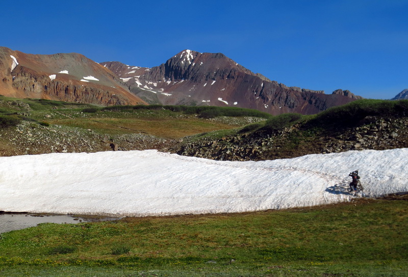
Some obstacles.
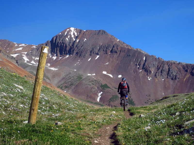
Some climbing.
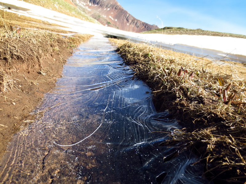
Ice trail, melted out from the bottom up.
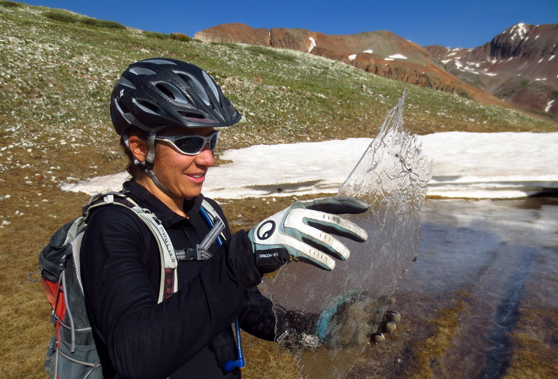
How cool!
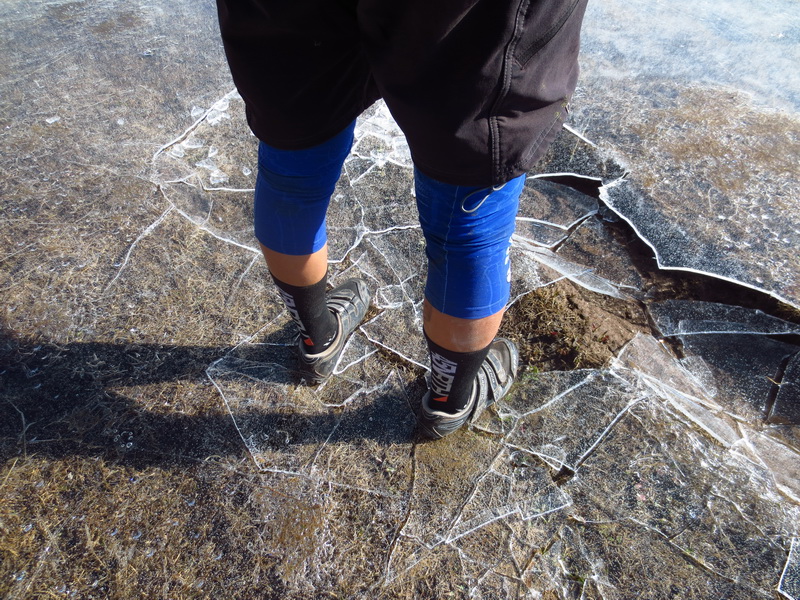
Smashing ice is fun.
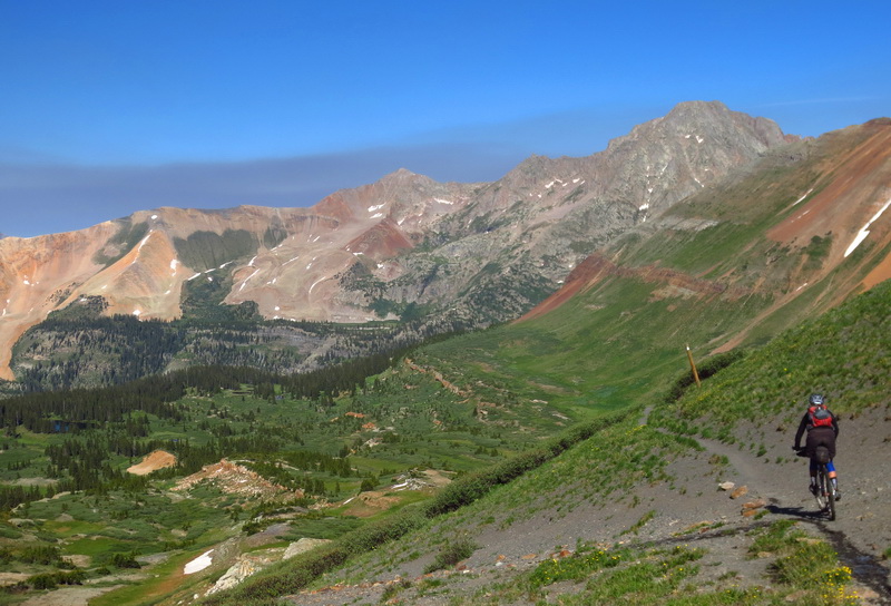
So is topping out at the big pass, and descending into a whole ‘nother world, so big, so green and unreal.
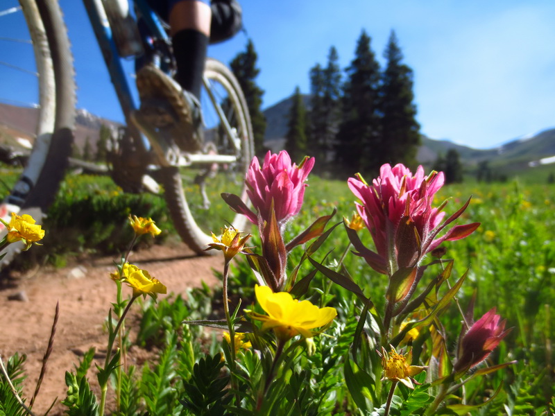
“This is my favorite descent on the whole Colorado Trail!”
But we all know her actual favorite — whichever descent was last ridden!
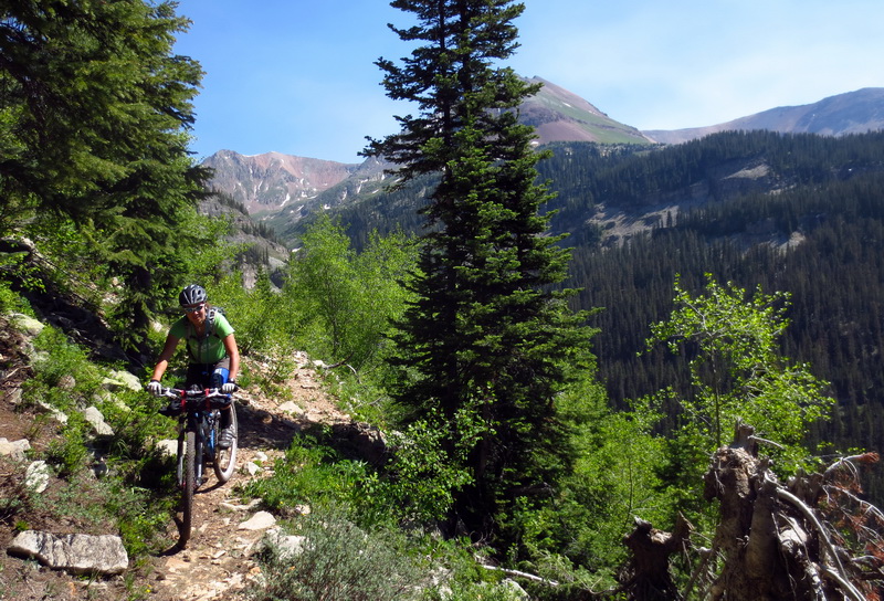
We dropped down to Cascade Creek, and I recounted my story of freezing my hands off trying to fix Dave H’s freehub during the 2009 CTR. All efforts failed, and it took me a good hour to regain any warmth. It was just one of many tall tales we told each other as a sight would jog our memory. I do love hearing Ez CTR stories. She has laid down an impressive ride or two, from Denver to Durango.
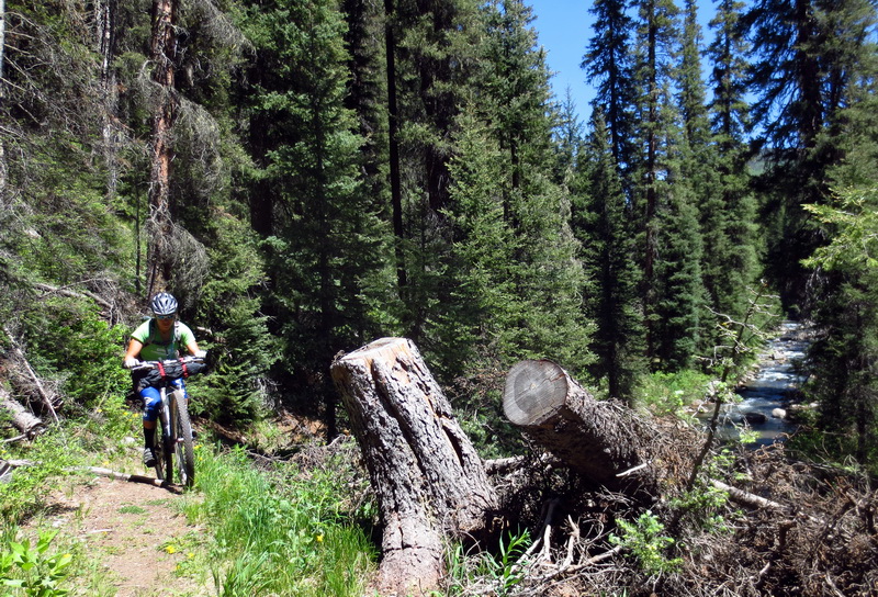
Boy, did the Colorado Trail call us further, but we dropped down on the Graysill Trail instead. Double black diamond on the map. Only a concern because neither of our knees take very kindly to downhill walking of any kind. I had my big bike, and found myself very grateful of that. Eszter had no such big bike, but rode some pretty steep and rooty stuff. We loved the descent. Minimal walking.
Until, we decided to take the ‘harder’ / less traveled side of Cascade Creek. It was a great trail, but some logs and awkward chunk threw us off our bikes and had us walking.
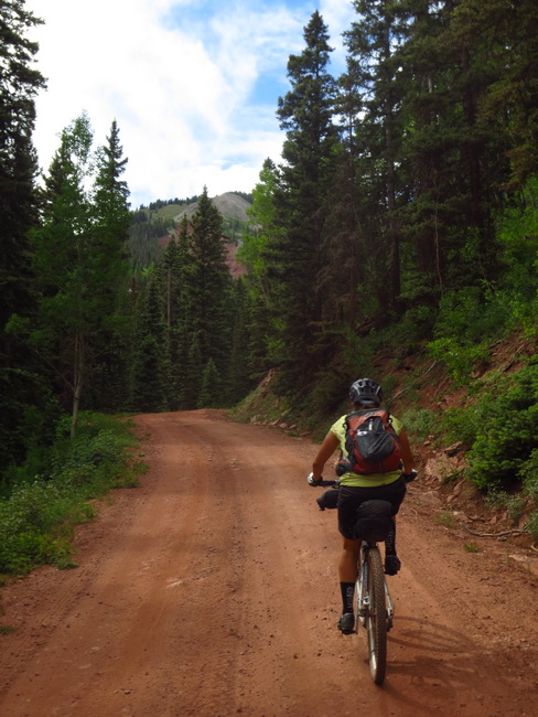
We took a couple of days to ride short, and then long, with Pete Basigner on the Colorado Trail. Then we once again took the map down to the river and started using our fingers to dream. I’m not quite accustomed to this kind of ride planning. I’m not used to trails you’ve never heard of panning out, or existing at all. In AZ you have to be a little more careful when pointing wildly at maps. In Durango, it seems to be hard to find anything bad or questionable. You really can just wave your fingers around and come up with a brilliant bikepack loop.
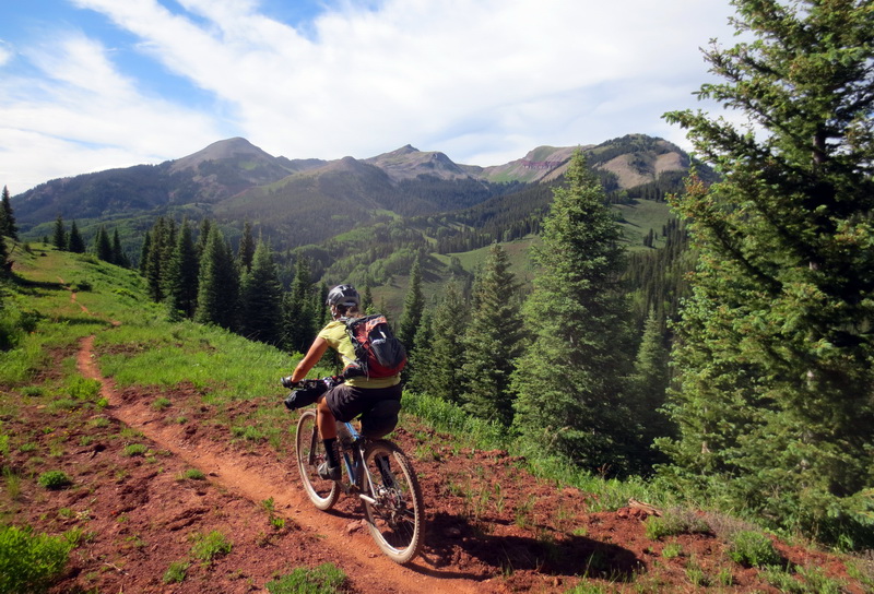
We climbed through Purgatory, Hermosa Park, and Hotel Draw, then merged with the Colorado Trail.
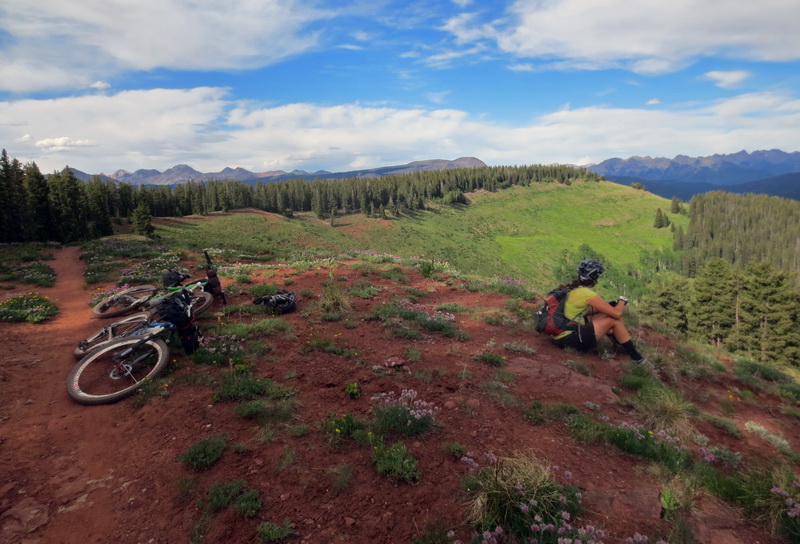
Beautiful spot to camp. To early, sadly. It’s funny, but this section of the trail seems bland and boring when you are riding the whole trail. Not a function of how nice the trail and views are — it’s just that everything before is so spectacular, that it pales by comparison. Having it be the first singletrack of the ride made us appreciate and enjoy it much more.
We found a faint bit of track branching off the CT, not shown on the map, but clearly labeled Salt Creek. Here we go!
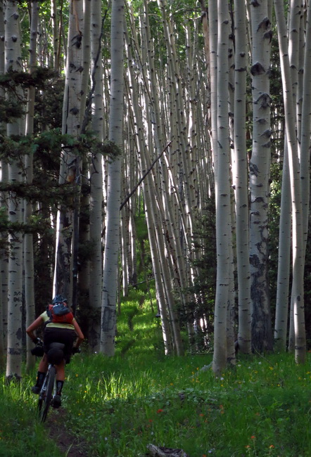
Did this trail pan out or what? Some of the most impossibly dense aspen stands I have seen.
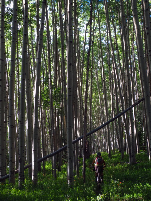
I remembered being blown away by the fall aspen colors the only time I had been through Rico before. It started to make sense, and the trail was perfect.
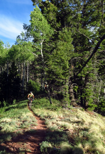
“I have a new favorite descent in Colorado!” I’ll refer the reader to the above rule about favorites. 🙂
At the bottom of the trail we turned away from the highway and climbed Ryman Creek a little, before throwing down the bags and unwrapping the Zia burritos.
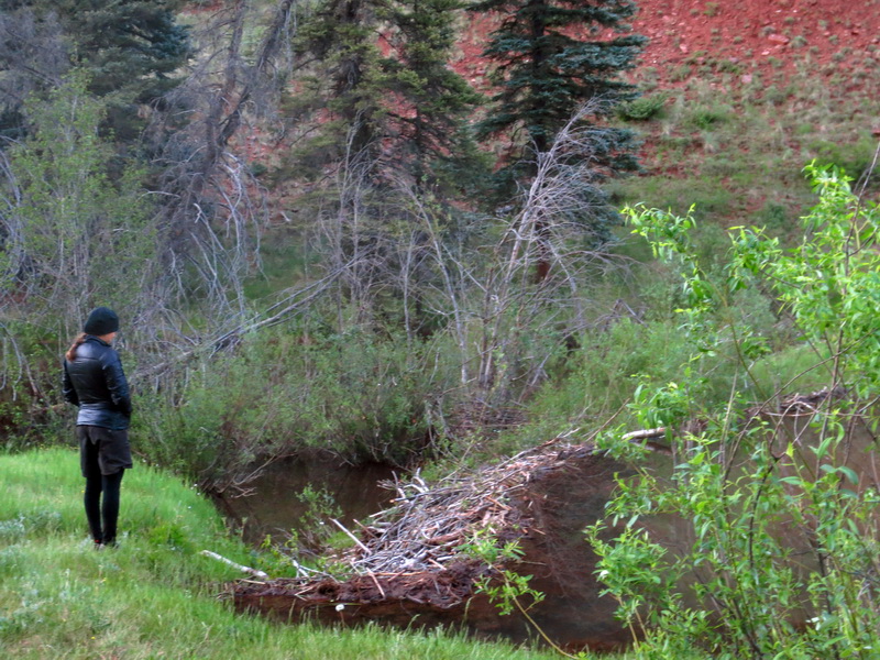
Beaver dam exploration was the theme of the restful evening’s walk. Amazingly, no mosquitos.
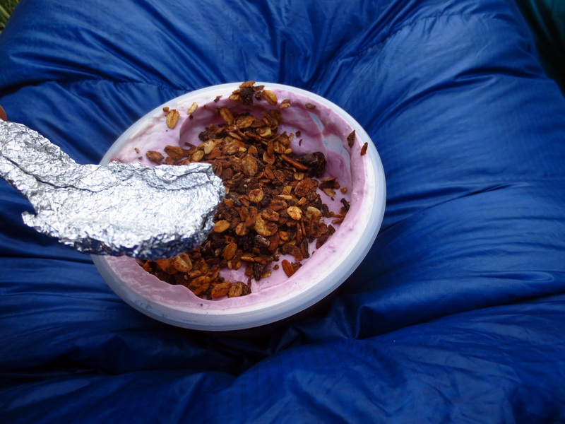
When you pack hastily for an overnighter it’s easy to overlook oddball details like silverware. Eszter constructed foil spoons so we could inhale the pound of Noosa yoghurt we had, complete with homemade granola. It was super tasty, but not nearly enough.
Luckily we had planned this loop (while waving fingers) to hit Rico at breakfast. We were reasonably sure there was a gas station and held out for the possibility of a open cafe. First thing in town was a drive-in coffee and food shack. Oh yeah!
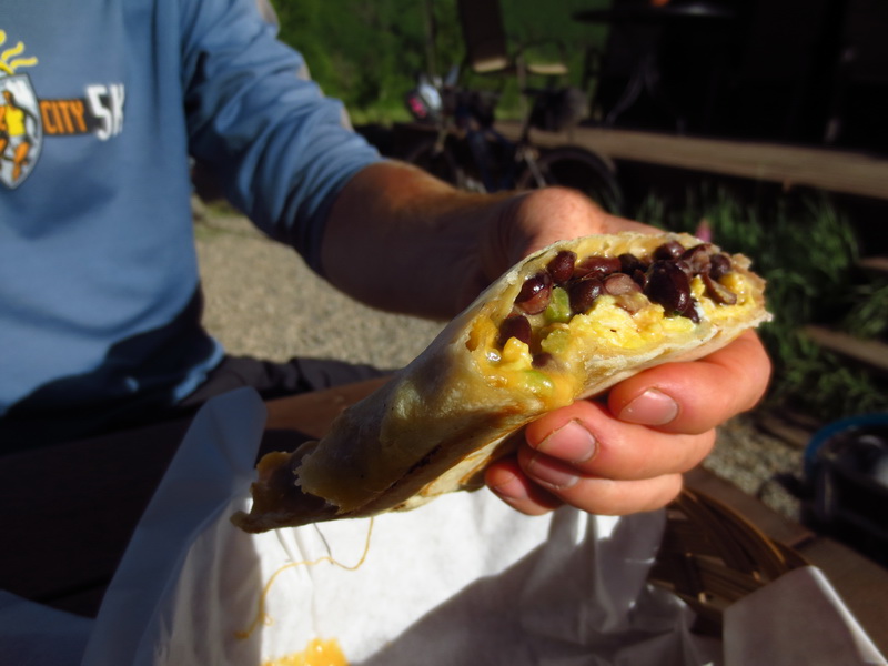
It served up the most delicious and crispy breakfast burritos. Win!
“Just think, those lucky bastards in Tour Divide get to do this every day.” Ah, living off the bike and all the glorious food you get to eat.
Fuel tanks were full, time to climb! We rolled through town, then onto Barlow Creek to ascend the backside of Bolam Pass. A few miles up a major road went to switchback off to the right, dead-ending at mines. Little did we know that meant the end of the road improvement for us. The rest of Bolam is steep and rocky! But it was a quick route to the high alpine goodness on the Colorado Trail.
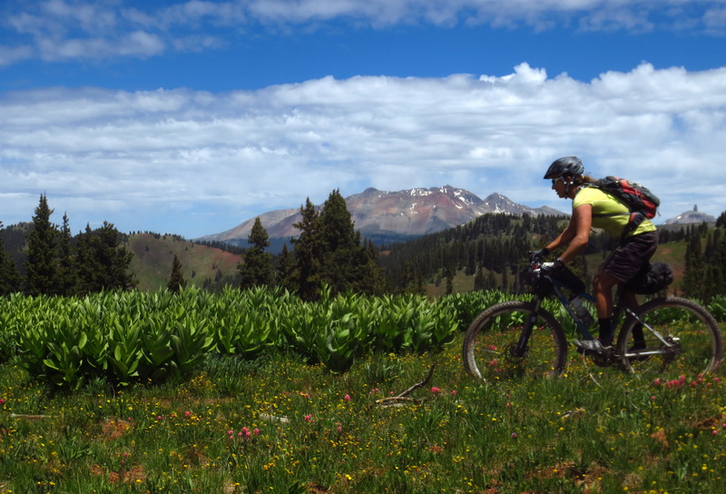
Oh yeah, that kind of goodness!
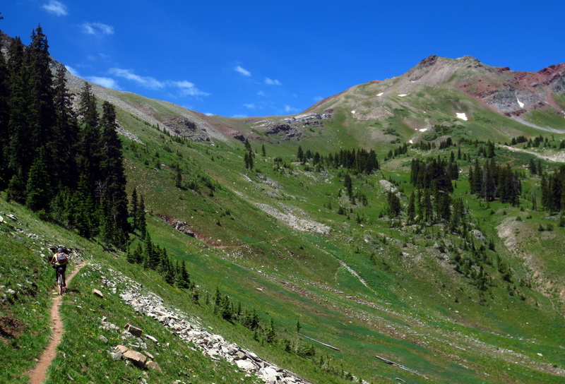
High alpine goodness that culminates in the climb over Blackhawk Pass.
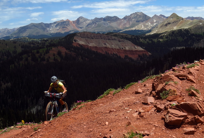
As we both cleared switchbacks approaching 12,000′, I declared knee recovery to be complete!
Or at least, complete enough.
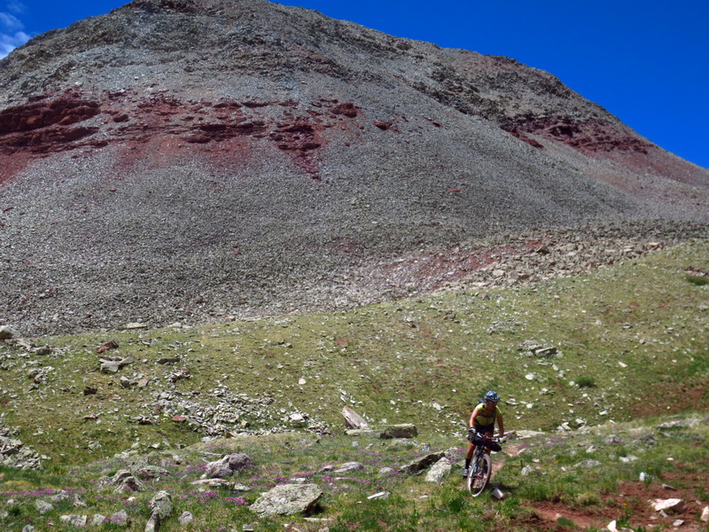
Hmmm… maybe this is my favorite descent on the CT!
We dropped down a little to get out of the wind, then sat down for a snack, not wanting to drop down to the trees just yet.
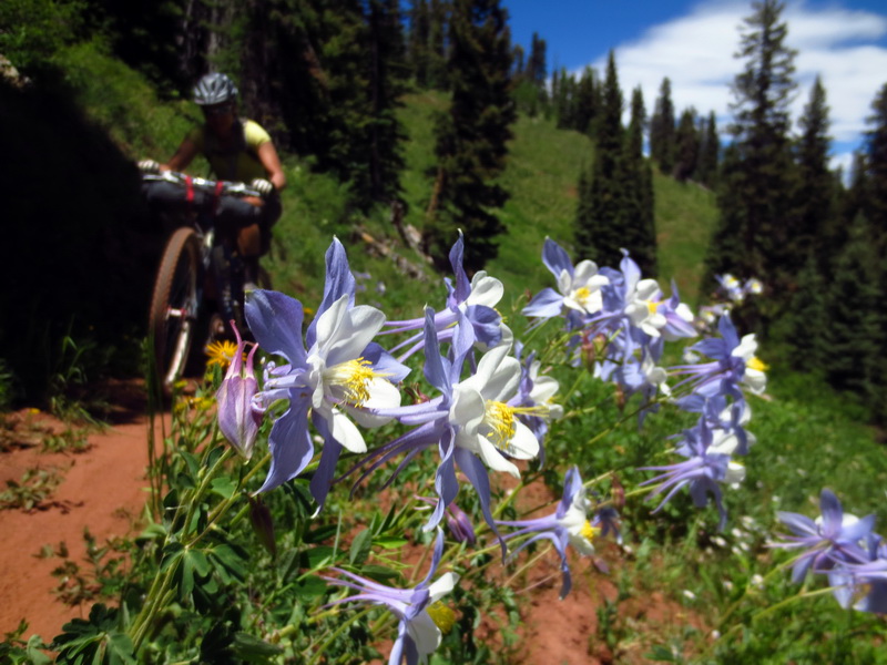
When we spat back out onto Hotel Draw’s ridge, we had to choose: ride more or ride less. Ride more, of course! We climbed the steep sections again, both of us feeling stronger than when we rode them the night before. Then we found the Corral Draw trail, narrow and demanding our attention the entire way down.
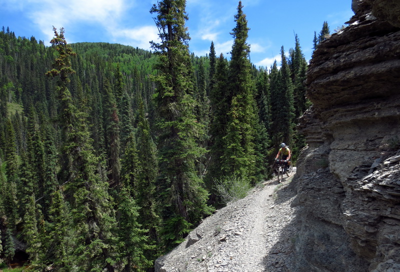
Ride more was the correct choice. We cooled off at Hermosa Creek, then found the climb up the trail to be easier than expected. Just a wee bit of climbing through the park brought us back ‘home.’
It’s a wonder we don’t spend more time out on the bikes, like this. But I am grateful for every minute we do get to spend in this way — especially having someone to share it with, who loves it as much as I do. Durango is bikepacking heaven, as far as I’m concerned.
I can’t wait to point at maps again.


Brilliant. Love the food shots especially.
Ah, Salt Creek. Maybe one of the most unknown Aspen stashes in SW Colo. I grew up there and didn’t even discover it until 2008 or so! Fantastic photos, and looks like you had some gorgeous weather. Can’t believe it’s all so melted out already.
My new ‘favorite’ post of yours!!
I caught a glimpse of Lizard Head in one of the backgrounds, cool!!
Believe in the power of the burrito.