The Arizona Trail 300 is coming right up, so it was the perfect excuse to put in a big weekend (as if an excuse is needed…).
A loop around the Santa Ritas was the only thing speaking to me, but it’s only been a few months since I rode that with Krista. Inspiration wasn’t really sparking, but I had TopoFusion open and was dreaming big. My neighbor and AZT master Tim McCabe knocked on the door just as I was resigning myself to the Rita loop. We talked up the breadth of the trail (and other Tucson trails) as our conversations often go.
“What’s that file you have loaded up over there?”
He saw a short ride I had done exploring the Las Cienegas National Conservation Area some years ago. There were too many unknowns to use that to loop with the Santa Rita AZT’s, so I had dismissed it. But the file was still open. Tim provided just enough ‘knowns’ to get us to start really looking at it… and color aerials, google tiles and topo maps brought us to a continuous route.
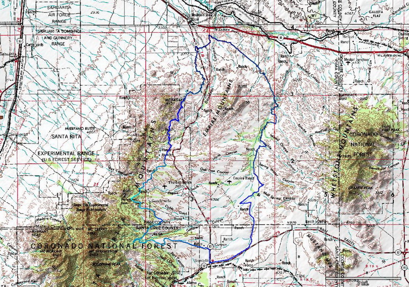
the Empire Rita loop – gpx file
Perfect. 80-90 miles, a bunch of AZT and a bunch of unknown. SIGN ME UP!
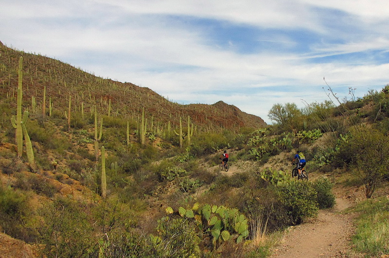
But first! A group of five met at my house for a Tucson Mountain Park shred. An hour before everyone got there I checked the weather. High temp of 90 degrees. And we were meeting at high noon. Who’s idea was this?
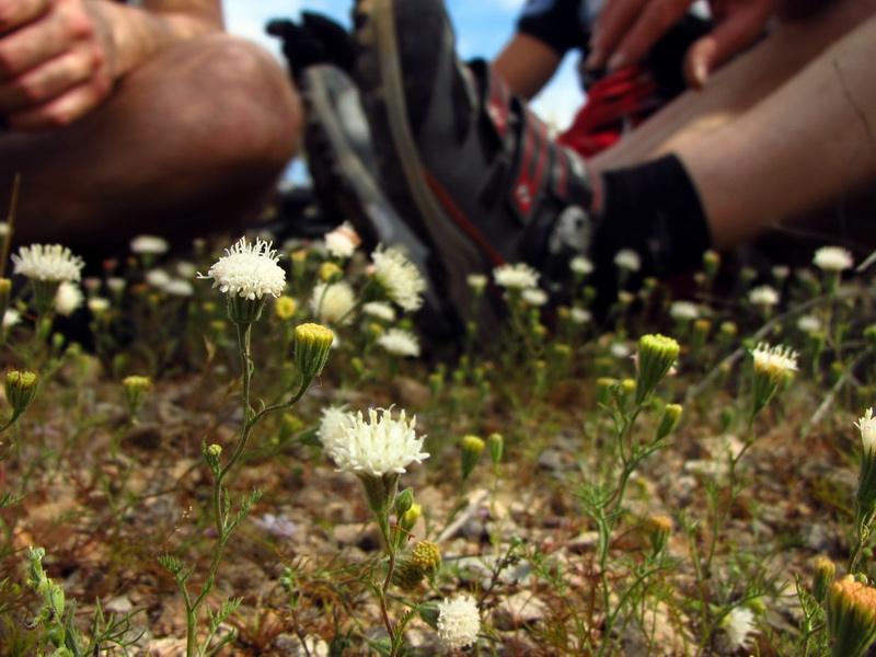
Cram together to share what precious little shade there is. Gotta love a good hot day!
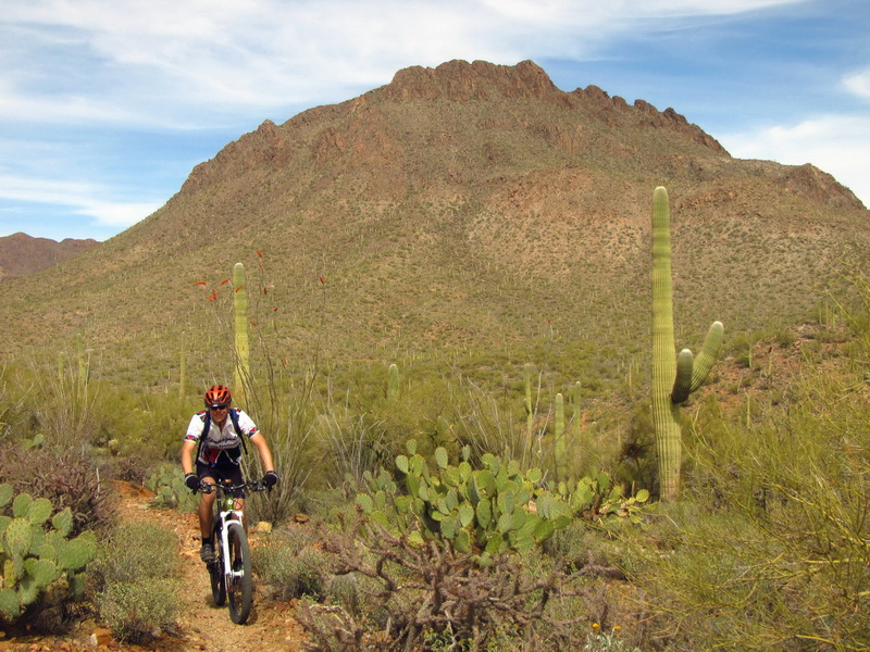
We met Martin through Chad’s AES series. He runs the Gamma Ray facility at the base of Mt. Hopkins, rides a bike pretty darn well, and can parallel park his Jetta like no other!
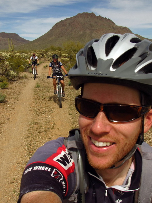
It’s west desert time — TMP’s version of Fantasy Island, except faster and more flowy. Missing from the pic is Lee who attacked as soon as he saw me pull out the camera — crafty little devil. It’s fun to rip through there with a group.
Traction!! Speed!!
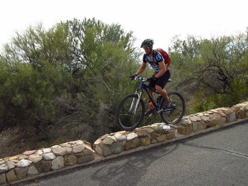
Death defiance. All in a day’s work for Chad Brown.
We eventually met back up with Aaron who had to go back to fix a crank issue. Then it was burritos or sushi and off downtown to the Banff Film Festival. There was some really good stuff, including a surprise appearance by Eric Parsons of Revelate Designs in one of the films. But it got pretty epic, and everyone that did the high noon ride was burning up most of the time. It was midnight before any of us hit the sack, and sleep was hard to come by.
Ashley crashed at my place for a few hours before we headed out to meet Aaron @ Sahuarita Road.
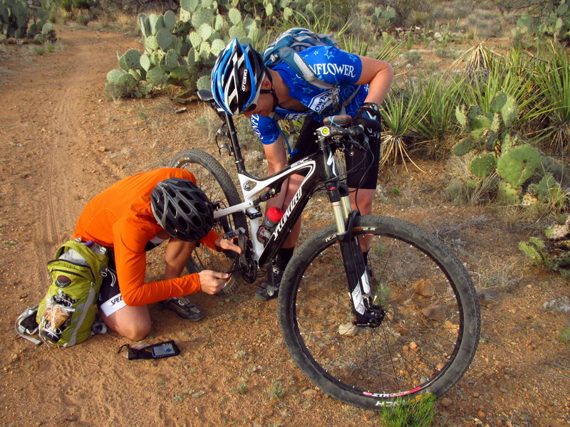
Less than 5 minutes into the ride, first major mechanical. Not a great sign, but Aaron fixed it quickly, and that was that. We rode some AZT north, then turned off onto the powerlines and into the unknown. This is what it’s all about.
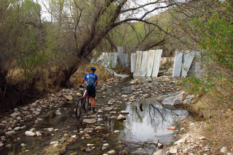
Cienega Creek is perennial. Rare treat for us desert rats.
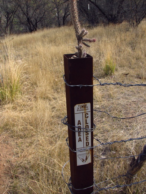
Area closed — to motorized vehicles. Good to go for bikes. As a consequence, no one was there!
Love the healthy cholla growing out of the sign!
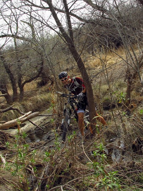
The route parallels the creek and crosses it several times. A few of the crossings may be a little tricky, but how can you complain when you get water on a desert ride?
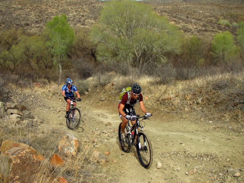
Climbing away from the creek again, I realized we had long passed “The Narrows” which has its own USGS gage, and Tim had described. Heads down, too focused on making progress, I guess, like dumb racer types. Guess I’ll just have to go back!
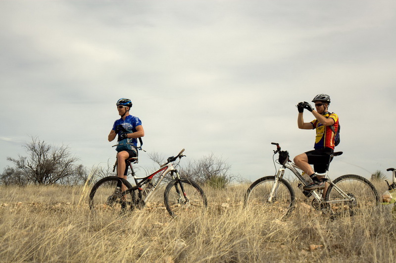
photo by Aaron McCombs
Maybe not so dumb… gotta make tracks, gotta stop and take it in too.
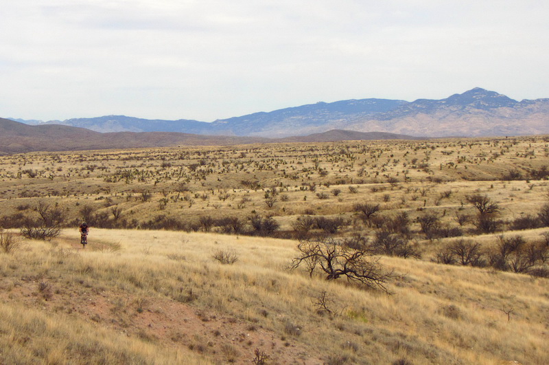
Gorgeous Arizona high desert grasslands. In person the grass seems to shimmer and glow from a distance. What would we do without such wide open spaces? The fact that we saw *no one* — not even a truck in the distance — contributed to the wild and raw feel of the land.
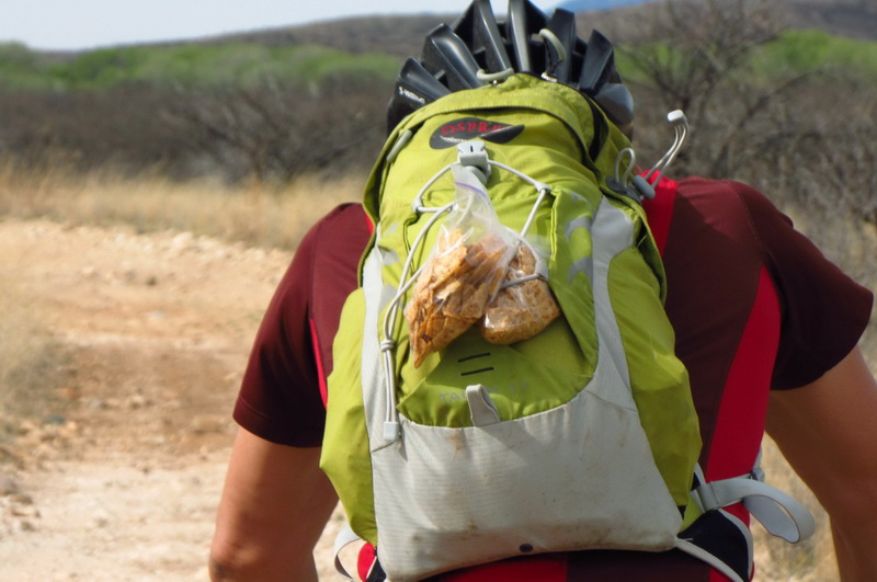
Don’t ask me how Aaron’s Dortitos made it all the way to Sonoita like that.
No prairie dog hunting! (sign on both sides of several meadows)
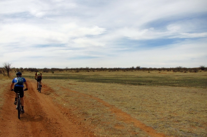
The south wind gathered strength throughout the morning, and was digging into us by the time we hit the more open terrain towards the highway. Paceline time…
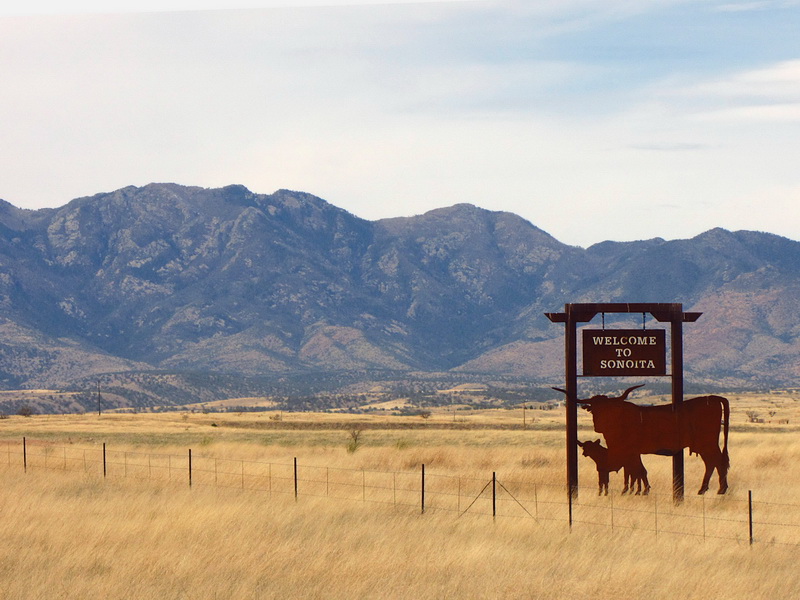
Ah, Sonoita. Ah, si! A welcome sign, and just in time, because Ashley was killing us any time he was on the front. Sonoita meant the brawl with the wind was done.
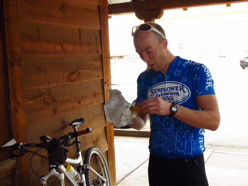
It also meant it was time for a pit stop, and time to sample the fried chicken supposedly featured in Arizona Highways.
We jumped on the AZT course and groaned simultaneously as it took us OFF the highway. You see, the highway pointed north, away from the wind, and was so smooth that 25mph was the minimum average speed. “You’re kidding me? Already?”
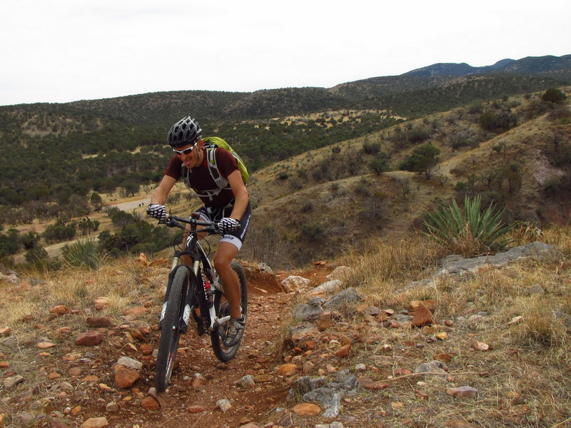
All was forgotten when we joined the Flume trail — a glorious return to singletrack. And then, the south winds kicked in to shove us up the “Ascent of Death” that Aaron is shown cleaning above, but also struggling to control his line in the wind!
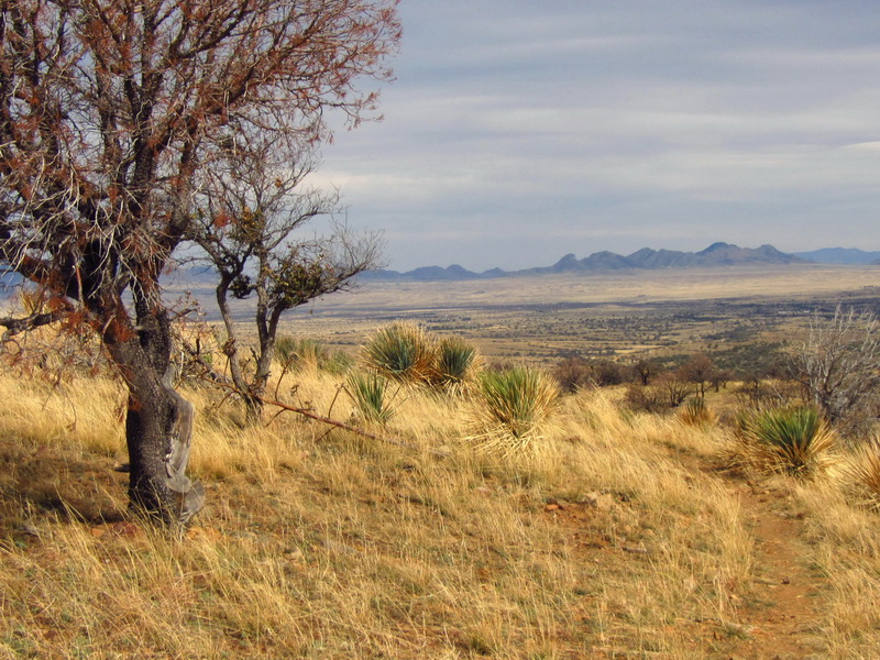
I can REALLY get used to riding the Arizona Trail with gale force winds at my back (try 40 miles of it!). Any time we ventured out onto an open hillside, or floated into a meadow, the effect was stupid-grin inducing. After a while it felt like cheating.
There aren’t enough cheat codes in the world to make the Las Colinas segment feel easy. But I really enjoyed it this time through.
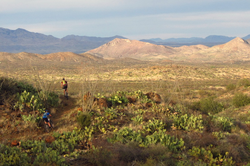
Once you hit the forest boundary’s gate, it’s 9 miles of mostly downhill, mostly ripping, mostly flowing singletrack, back to the car. Our friend the cheating wind had not abandoned us. The sun came out just at the right time — too late to cook us and early enough for bright highlights.
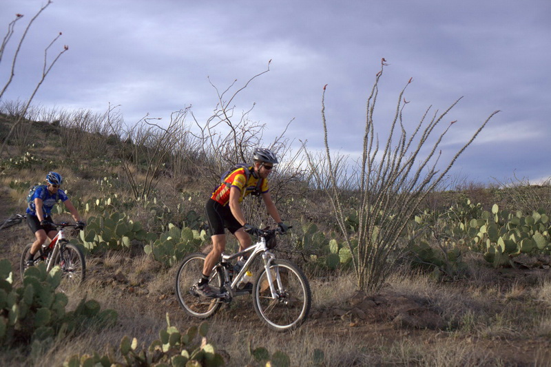
photo by Aaron McCombs
I wondered if I might get tired of dodging ocotillo and prickly pear, riding banked corners and just generally feeling the love of life and MTB!
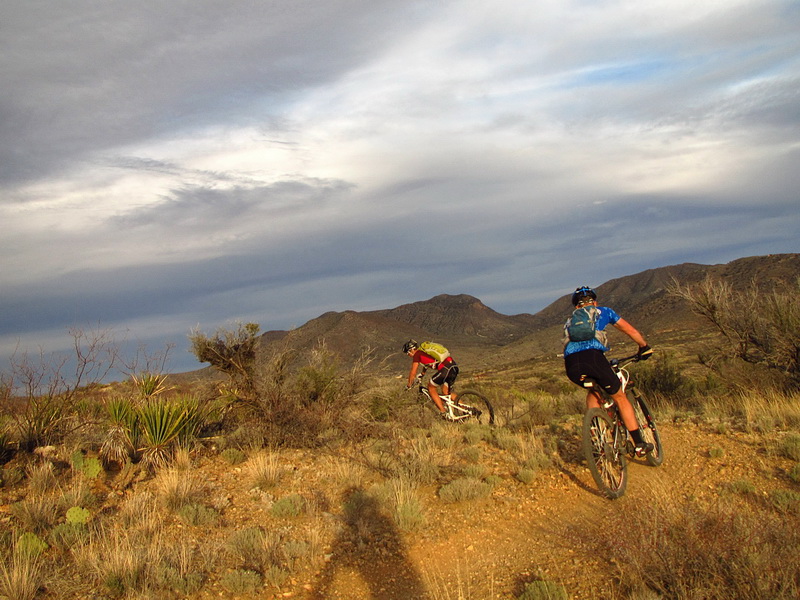
Playing cat and mouse, in and out of rises, flirting with your shadow, chasing the guys into the sunset. You might think going this fast we could kick back and just enjoy the free speed… but no! It only got us to take the pace up a notch or two!
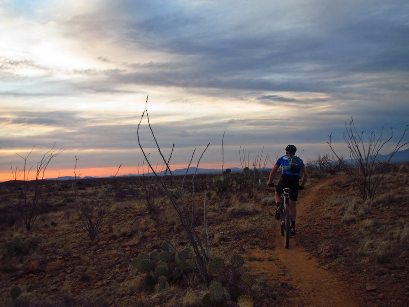
The answer was, no, you can never have enough. It was almost a storybook ending — right at sunset. The group was so well matched in pace, mindset and preparation that it was remarkable. To think that I didn’t know either of these guys at the start of the year is pretty cool. They both started doing the AES events, kicked some butt, and pretty soon we were riding together.
Riding through Las Cienegas is a great way to loop the AZT. I think a smaller version that comes in at Oak Tree Canyon would be one sweet loop.
Time to catch a little rest…


Beautiful photos! One of my most favorite areas!
The sheet metal barricade indicates you’ve reached the Narrows, IIRC. Three cheers for the old AZT-route, Rosemont-proof as it is, except maybe for the perennial water. Come to think of it, based on the latest permit hurdles, their hopeful doom lies therein!
[…] a route. Found a buddy to ride with. Found ourselves pedaling to get lost. Lost energy. Lost a sidewall. […]
[…] a route. Found a buddy to ride with. Found ourselves pedaling to get lost. Lost energy. Found great views. […]
Those sheet metal strips are still hanging across Cienega Creek ( no water right there ), and that little cholla cactus is still growing out of that sign. Lots of water a little further south which surprised me considering how dry it’s been. Cool route.