It wasn’t until I sat down to write this report that I wondered why the big mountains call to me. It’s a fair question: what is the point of going to the top, just to come back down? But that question (or its variants) is not something that bothers me. I don’t know too many things for certain, but I do know that the mountains are in my blood, maybe my DNA. I can’t explain it, so I won’t try.
Big mountains, which in Colorado means 14,000 foot peaks, are not commonly climbed with mountain bikes. I know that. But another thing that is deeply rooted in me is riding bikes and difficult climbing. So is personal challenge or the allure of attempting something not too many people will even consider.
And so, I have been trying to ignore all the peaks of the Collegiate Range, several of which are less than 20 miles from my little summer home in Salida. I’ve been biding my time as training and racing took my effort, and as the abnormally high snow accumulations melted into the Arkansas River. When I got back from the summer road trip I knew there was very little I could do to stop the inevitable: it was time to get high.
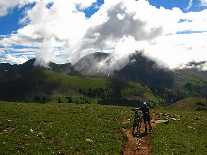
I tried to be somewhat smart about it, working my way up to the more challenging rides and higher peaks. I haven’t been doing much granny gear (20×36) climbing, since racing rarely calls for it, and for months my rides have usually been 3 hours or less.
So I started with a loop of White Pine and Canyon Creek with Lee.
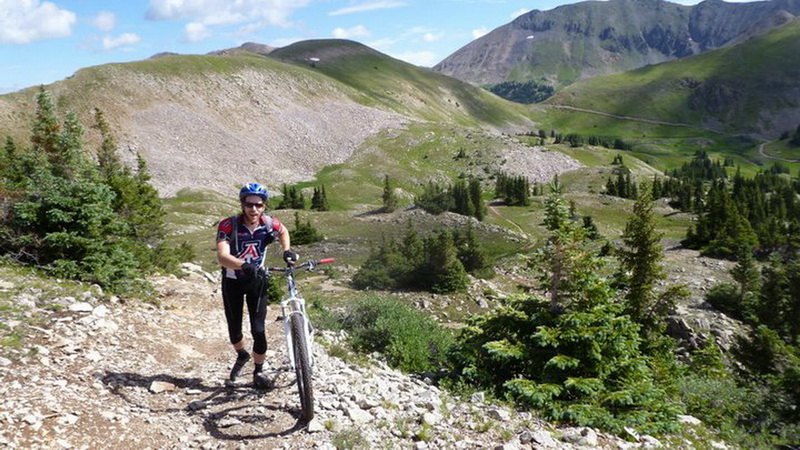
photo by Lee Blackwell
Canyon Creek being the high point of the Vapor Trail 125, which I raced last year, at 12,600′. I felt like I could touch the sky, with early morning fog lifting and swirling its way over the continental divide.
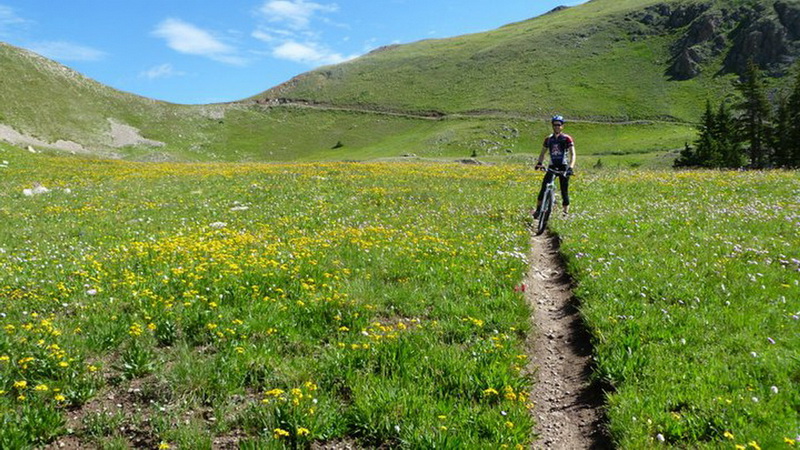
photo by Lee Blackwell
It’s almost sinful to ride through areas like this at night, but that’s exactly what I did last year. I was so happy to see everything my headlamp couldn’t illuminate. I was also happy to be riding without lobster gloves and thick booties. The descent was blissful, though the mud and puddles gave it much more of a ‘moto’ feel than I had noticed during the Vapor Trail.
Speaking of mud puddles, the lower section really gets groovy and flowy. Just as I was thinking “we’re down lower now, no more puddles” and ramping up the speed a couple deep and slippery puddles came out of nowhere. I negotiated the first, then manualed across the second since it was impossible to slow down. Turns out it was also impossible to steer, especially with only one tire on the ground. I slid out and ended up covering my leg in mud, hitting the ground while already laughing. I love crashes like that.
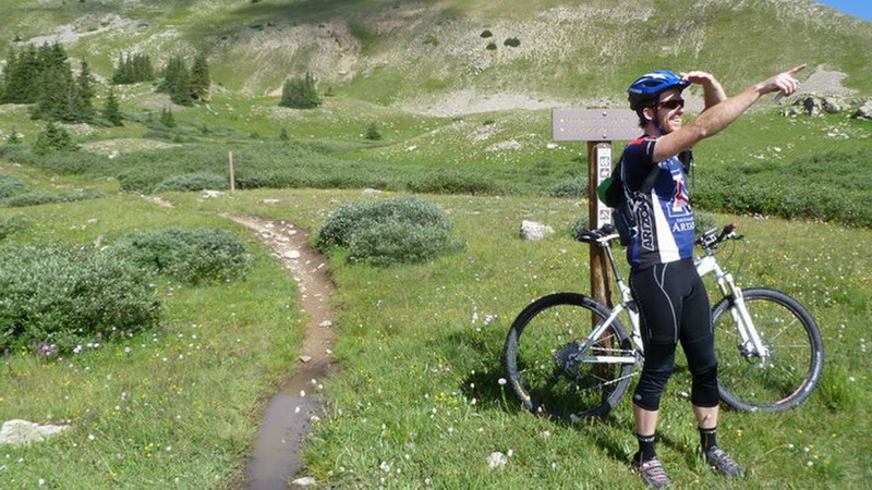
photo by Lee Blackwell
Canyon Creek was awesome, but I was thinking and dreaming higher.
Mt. Bross, Cameron and Lincoln
These 3 guys have been on my list for a long time, since I had heard they are quite rideable. Lee was quick to sign on, and after I mentioned it in passing to Stefan Griebel in the midst of CTR communication, so did Stefan! I’m not sure how he pulled it off, but it was really cool to ride with Stefan outside of the Grand Loop, AZT or CTR.
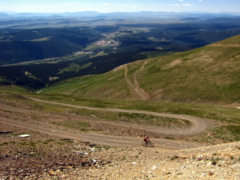
Why is Mt. Bross so rideable? Because there’s a dirt road to the top! Those switchbacks look flat, but are anything but when you get on them. Still, there was only one pitch that was really challenging, and forced us to walk a few steps here and there. Other than that, it was just steady climbing, through 1,000 year old bristle cone pines and high alpine talus.
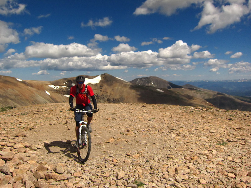
Stefan rolled up to the top of Mt. Bross still astride the bike. The wind on the summit ridge did give us a nice challenge — I was blown off my line and out of the trail several times. The top is huge, and extremely smooth (for a 14er). And so is the ridgeline that connects over to Mt. Cameron, which really doesn’t count as a real 14er, even though it is “peak-ish” and over 14,000′. It was rideable to the top (barely) but doesn’t rise enough or isn’t far enough away from Bross and Lincoln to be counted. I dropped down the trail towards Mt. Democrat, which is frequently bagged by hikers, and it looked quite doable to me. Definitely some hiking up talus switchbacks, but the final ridgeline looked possibly rideable. Another day, perhaps, we needed to be done relatively early.
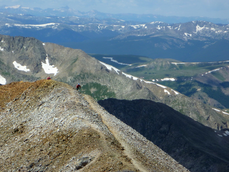
photo by Stefan Griebel
Riding ridgeline singletrack at 14,000+ feet is simply indescribable. That’s the penultimate pitch on Mt. Lincoln I’m cresting in the above photo. I can’t believe I made it, even though all indications pointed to dabbing and/or hike-a-bike. Take a few deep breaths of life, a little faith and you never know what you might do.
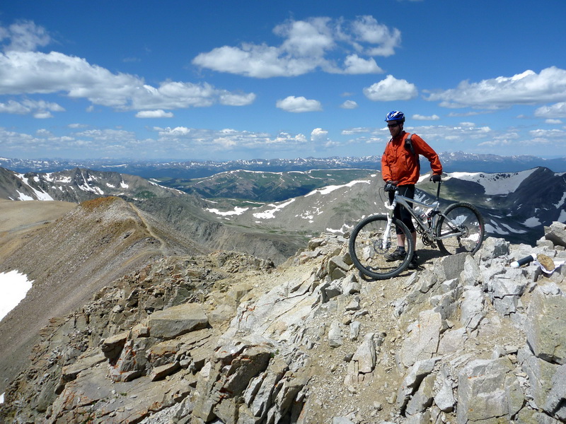
photo by Stefan Griebel
The last pitch is hike-a-bike, but is very short. I was disappointed that 14,000′ was as high as I could climb. I wanted more.
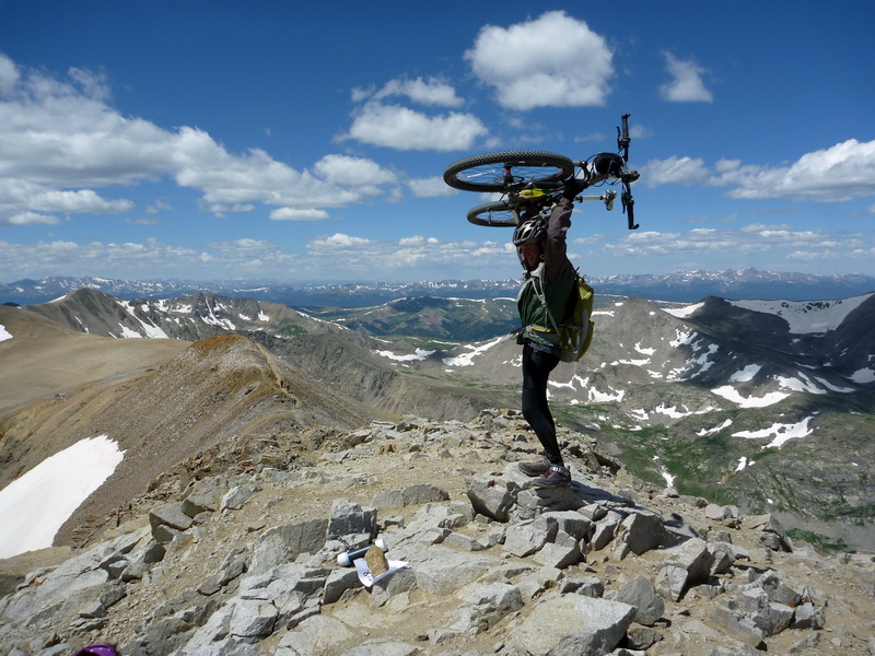
photo by Stefan Griebel
Lee’s king of the world!
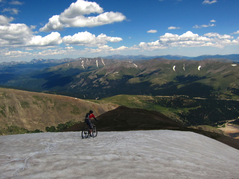
A bit of downclimbing off the face of Lincoln led to a giant snow field. Stefan hopped on his bike and with little hesitation was off down the steep and slippery slope. Watching him helped me believe it possible, but I still wasn’t so sure.
video by Stefan Griebel
The snow was just the right consistency to sink in and help control speed, but not sink so deep that endos or other tom foolery were a concern.
Even still, I slid and crashed my way merrily down the slope, as the above video so aptly illustrates. Too much fun! Once off the snow we tied into the jeep roads, slid some talus, and then ripped our way back down to the town of Alma. Burgers and beers (Lee and Stefan) topped off the day.
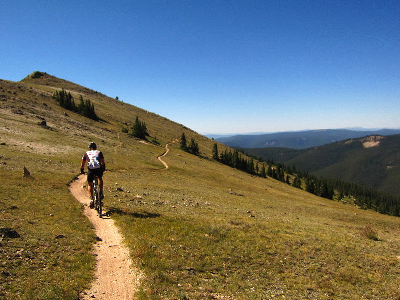
The next day I couldn’t resist an offer of a shuttle to Monarch Pass from Big Dave and Jen Wilson. They were in town and had bumped into me while I was giving a scratched CTR racer a tour of the S mountain trails. I got the text that Jen was shuttling Monarch for Dave (he had done the same for her the day before), so I rolled out at 8:30 from Salida to ride to Poncha Springs.
I should have known it wouldn’t be as simple as shuttling the Crest. Once Dave saw I was in, he talked me into something new, which in this case was Agate Creek — new to both of us. The miles on the Crest were true bliss, tail wind and all. I pinched myself that I get to spend so much time above treeline. Then Agate exceeded all expectations — it’s a very long descent with flow, technical sections and lots of deep crossings. It’s my favorite descent off the Crest, for sure. The only problem? It drops you off the “wrong” side of the crest, meaning we had to spin down to Sargents, then begin the 17 mile (!) climb to Marshal Pass. Dave and I reminisced about various characters, trails and events from SLC back when we lived there (Dave was a substitute teacher for me at East High!) and it was a good he was there to chat with, because it was such a long climb. We also had a simultaneous “Oohh” when we both realized the side of the road had raspberries! A few minutes picking was another good way to break up the climb. I much prefer steeper climbing than railroad grade, most of the time.
We took Starvation Creek down, ate some pizza at their camper on Poncha creek, then I spun home. It may have been a shuttle ride, but I ended up with 65 miles and almost 5.5 hours moving time.
Pikes Peak – the best MTB trail in Colorado?
Who needs rest? The monsoon tap was firmly off, as evidenced by the solid blue days I had been seeing with my own eyes. The weather discussion confirmed it, but it would not stay off for long. I lived at the base of Pike Peak for almost half a year, and was daily witness to the its temperamental nature. It seems to have its own weather patterns, and can create big storms with even minimal moisture. Pikes is the 14er with the biggest climb and longest trail, so I knew I needed a perfect day to pull it off, especially from Salida.
I threw it out there to Lee and he latched onto it, bolstering my own convictions. I was getting tired, but there is no time like the present, and this weather was too too good to pass up. I love Lee’s “get it while you can” attitude.
So we met at the Gunsmoke Cafe in Johnson Village (BV) for a hearty breakfast before rolling on to Manitou Springs. It’s a bit of a drive, and though it was still “early”, the sun and humidity made the initial switchbacks below the famed Incline seem pretty toasty.
Start: 6,500′
End: 14,100′
All singletrack.
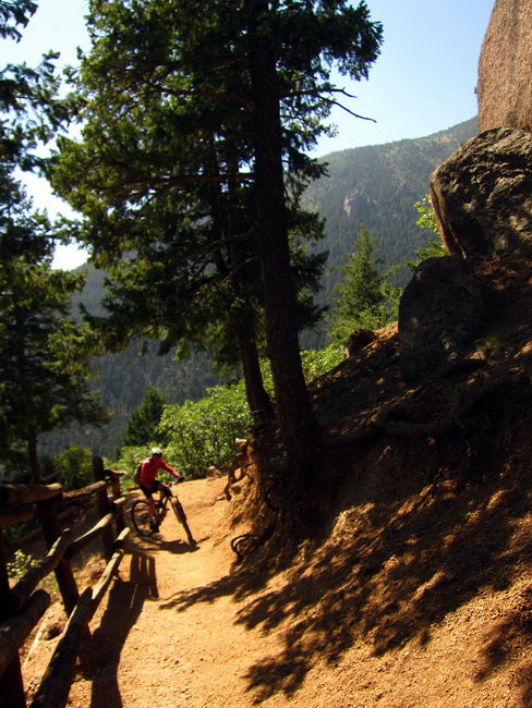
The railings are good for hand dabs to let hikers go by. “There are a lot of people out to be riding today.” “Yeah, but there won’t be many people at 12,000 feet.”
Quite a few folks were coming down the Barr Trail after blazing up the Incline, but once we passed the top of the Incline the trail was pretty empty. We made somewhat slow progress due to the heat. Lee is from Leadville where 80’s are unheard of. So it was slowing him down some, but it didn’t seem to be affecting his spirits; that’s Lee for you–just never gives up.
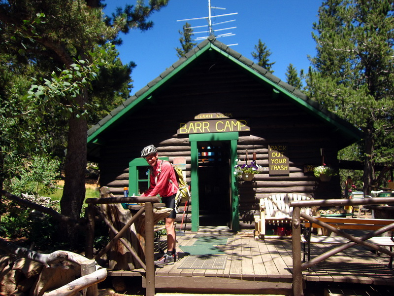
Barr Camp is roughly halfway, with merely 4000′ of climbing down, and 4000′ to go! It’s such a cool place — where one can stay and even get a few meals — and yet it is not car accessible. Most of the supplies are hand carried from a cog railway stop a mile or so away. The fact that you have to work to get here really changes the attitude of everyone — and the longtime hosts are certainly no exception — they are as friendly as can be.
Not long after Barr Camp the trail gets serious. Seriously technical, that is. Things get progressively more rocky right up to tree line, where the trail is pretty much one boulder after another:
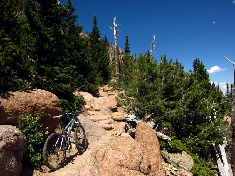
I wouldn’t have it any other way. If you understand ‘flow’ in the brain (if it can be understood at all) you know there has to be a balance of challenge and ease. Too challenging and it’s frustrating. Too easy and it’s boring. Just right and the world lights up and you’re absolutely on fire. Pikes Peak seems to hit that balance just perfectly (for me). It’s hard, no doubt, but I don’t end up walking sections wholesale, just a dab, a re-adjust or take a few steps, then I’m on my way.
Part of it is thanks to the high traffic on the trail — the loose rocks are largely gone or pulverized into granite pebbles. The rocks that remain are solid, smooth and full of traction. It’s just so unbelievably brilliant. Mr. Barr, architect of the trail back in 1914, was nothing but a genius!
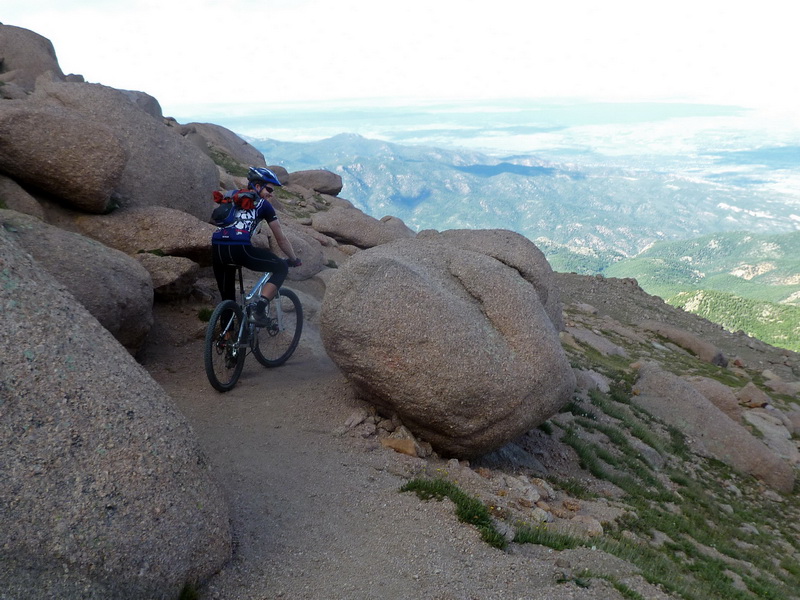
photo by Lee Blackwell
And then you break out of the trees and find yourself in a wonderland of green grass and giant boulders, all perched so impossibly on the side of this massive mountain. It really does feel unreal, to be there, and to be rallying around switchbacks and dodging boulders at 13,000 feet.
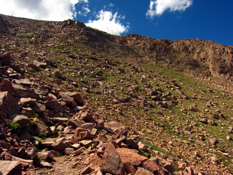
After a blissful break, the trail gets quite challenging as it nears the top. Lee had told me back before treeline that if I was feeling it, I should just go for it (thanks Lee). You better believe I was feeling it, cleaning sections like the above!
Unlike the last and only time I climbed Pikes (back in 2007), I never cracked. I was still putting full effort into switchbacks and ledges, even in the midst of the “16 golden stairs” (the last switchbacks). The top came too quickly. I hopped over the cog railway’s tracks as quite a few onlookers gave me curious looks. You’re definitely the trail celebrity when you ride a bike to the top, as it is not commonly done.
It’s not the typical summit experience, though the cold wind and thin air are definitely there. After a few victory laps around the summit house and parking lot, I walked inside to find that they were serving PIZZA!! Doughnuts, Pizza and Pepsi. OH YEAH!! Life is good. I sipped cola for the next half hour like it was the drink of life, and I suppose it was. Then as I was walking around, getting high fives and fist bumps from many a tourist who had driven or ridden the railroad up, I spied Lee approaching the summit house! I ran out and gave him a “high ten”, I was so happy that he had made it! But… he had ditched his bike near treeline, opting to hike the rest.

A summit is a summit, and here we were! Lee got a doughnut and some fritos, then we were on our way back down. A SAR guy stopped me before I crossed the tracks, assuming I had shuttled up. “It takes most people 4 or more hours to get down, you’re going to run out of daylight.” He was waiting for a distressed hiker to reach the top, struggling with the altitude. After I told him I’d ridden up he said, “never mind, I think you know what you’re doing, have fun.” I told him I’d offer encouragement and water to the hiker in the green jacket when I saw her.
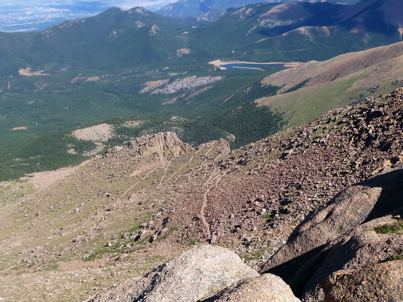
photo by Lee Blackwell
It took a while to catch up to Lee as I walked down a lot of the “golden staircase”, but then I nailed all the switchbacks in the “switchback attack” shown in the above pic. Whoooooooooo!!!
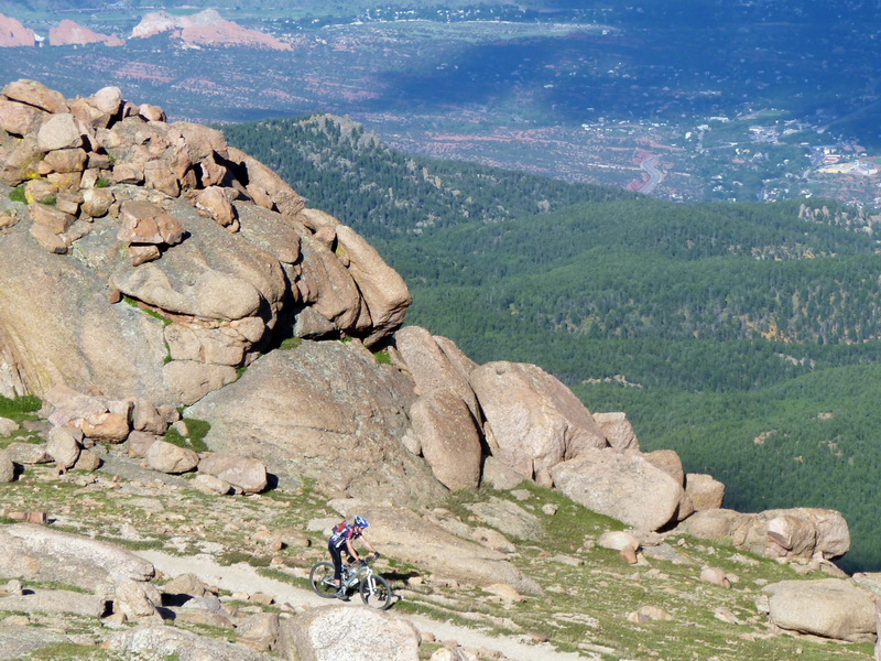
photo by Lee Blackwell
I’d rally a section, then talk to Lee as he caught up. What a trail!!!!!!

He was making good time, cruising along on foot, and waiting a little just meant more time spent “up there.” Besides, we had the perfect day, with no trace of any storm. May as well use it for all its worth. Lee retrieved his bike from the trees.
Either my skills have come up, my eyes grown bigger, or I’m on a better bike, because I was slaying stuff and flying off of things I don’t remember from last time. The descent is not the main attraction on this ride, but it’s ain’t half bad, either. Especially late in the day when the trail is pretty open. Never-ending doesn’t really accurately describe it, it’s so long. My hands were getting sore/tired before we popped out onto pavement.
Mt. Shavano, time to get serious!
Lee was off to Wyoming, ducking out of the craziness that is Leadville weekend. He was a great partner in crime, as he always is. I rested for two days (meaning I rode locally). The sun was setting as I pedaled along North Backbone trail, fiery light drawing my eyes to the mountain I have long known is there: Shavano.
Shavano looks right down on Salida and is the closest 14er to ‘home’. I had never heard of anyone bringing a bike up there. Lee had earlier dismissed the idea, having hiked it before. But I was looking for a bigger challenge, for a bigger mountain to climb. After scouring hiker reports for photos of trail conditions I started to convince myself it might be worth an attempt. Then I shut off the qwerty confuser, saying to myself, “I can sit here reading reports and postulating all day long, or I can get out there and find out for myself!”
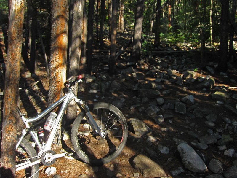
Yep, there was only one way to find out that the initial pitches of the trail, right off the Colorado Trail, were baby-head ridden, and nearly impossible to ride. I pushed on, riding what I could and walking the rest.
If it wasn’t steep, it was rocky, and usually it was both. It takes a lot for me to not even try extended sections, but I really didn’t have much hope. My faith was tested, and there were some trying moments for sure. I was solo, so I had no one to bounce ideas off of, to confirm or disprove the sanity of the whole idea. Just me and my own stupidity. The real doubts started to come in when I’d turn around and try to envision riding back down the trail. My general principle was that anything I could ride down was worth pushing up. But many sections looked very questionable indeed, even downhill. I passed several groups of hikers on the way up, so at least I wasn’t making worse time than a few people that (wisely) weren’t hauling 25 pounds of metal and rubber up the mountain.
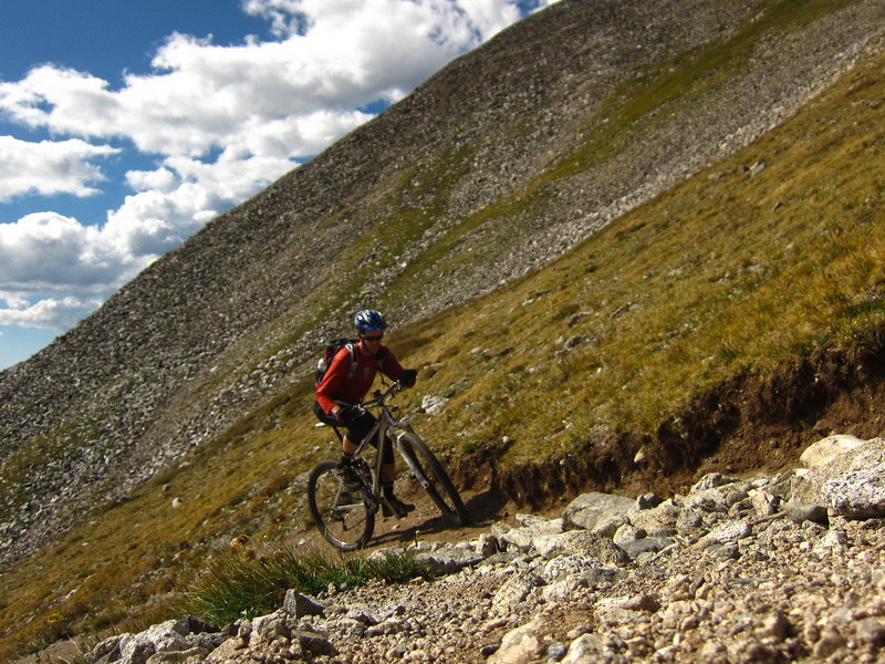
But I kept pushing on, and kept finding some very tasty nuggets of trail that were quite rideable — in true alpine style. Push hard, spin for all your worth, exhaust your oxygen supply, then use the handlebars to keep your floating-away head grounded, as you regain composure for the next assault. I’d ride 40 feet, then count to twenty on my hands (couldn’t trust my head) and ride again. It was just so steep. But rideable!
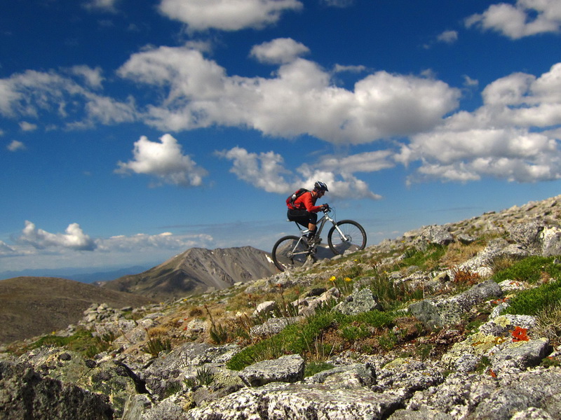
crankin’ at 13,600′ ……… yeeeaaah!!!
The trail reached an idyllic saddle at 13,300′, giving way to “flat” and rideable trail. This was soooo worth it. Think how few people have pedaled a bike up here (if anyone…). Gorgeous.
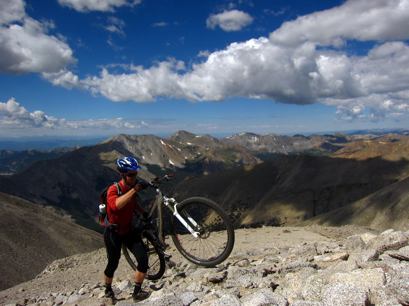
Shavano was in view. I took the longer ‘route’ towards the west side, hoping to ride a little bit more. It worked, tires holding in loose scree.
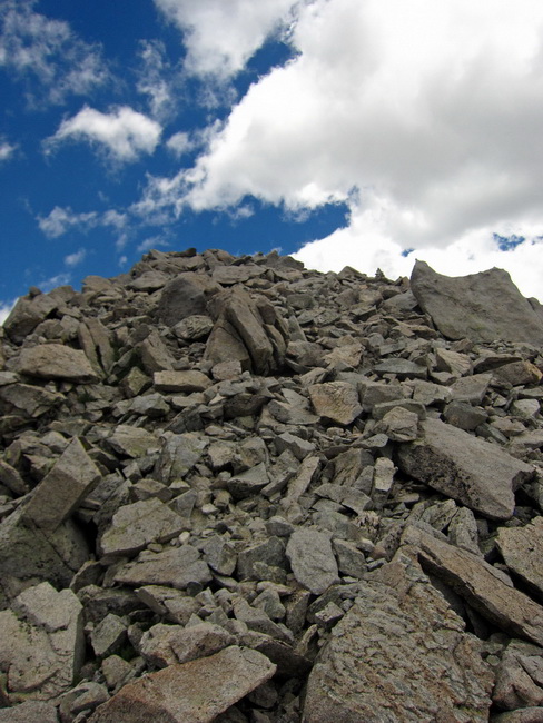
Then, for some reason, I didn’t ditch the bike, even when it looked like that! I put it on my shoulders and kept walking, and in a couple places executed “class 3” bike-eneering moves by wedging the bike between boulders, climbing around it, then pulling it up. It was a little silly, but I was so close and my bike had come this far, why not a little further?
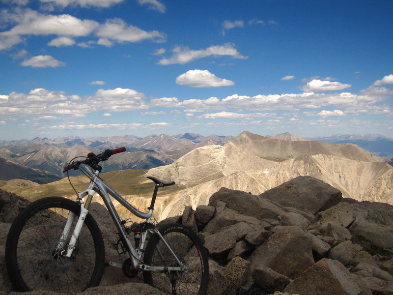
The top! That’s Mt. Antero in the background, a 14er that Lee and I reached via the Browns and Little Browns trails (both spectacular) last summer. It was so incredible to look down on Salida and all the trails and rides I have been enjoying this summer. Monarch Pass was so tiny down below me, and the Crest seemed like just a series of little hills. I had a good 30 minutes at the top before a few groups of hikers joined me — the first 14er I had enjoyed the summit alone at. “I gotta get a picture of you, because no one will believe me.”
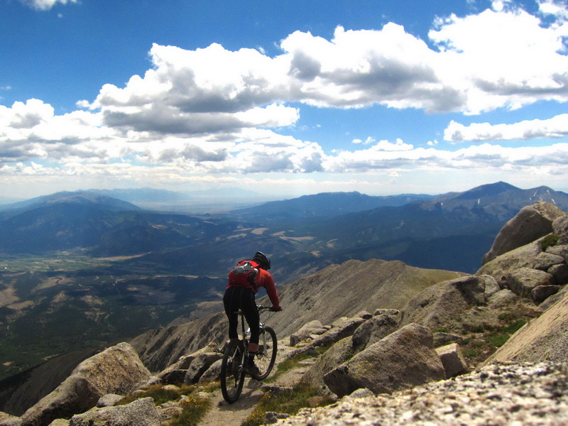
Ha! Because I had my bike I was able to clip in and ride down that little morsel of trail, at 14,200′ no less! I rode to outside the frame, which probably amounted to 20 feet in sum (!). Then I started down climbing, with awkward bike. At ~13,900′ I clipped in again, and coasted down to the saddle.
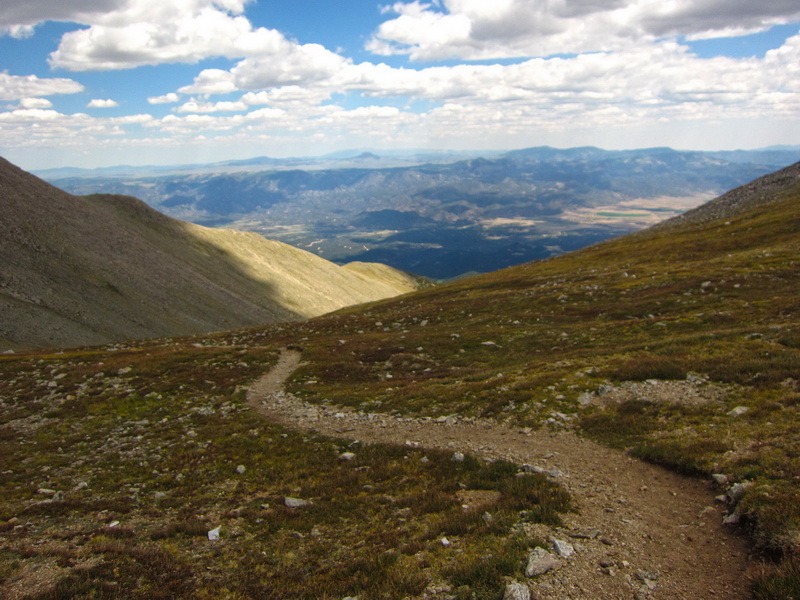
Swoopy singletrack anyone??? Livin’, yep.
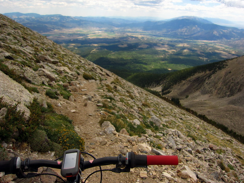
Going down!! Alpine skinny at its best, clinging desperately to the side of a very steep slope. I really surprised myself by how much I could ride, carefully, deliberately, beautifully.
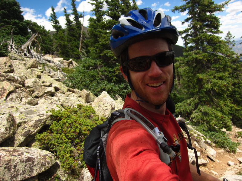
STOKED, after cleaning a particularly rocky section. This is exceeding all expectations!
I still had to walk down some sections, or dab, or whatever, not wanting to crash and in riding in solo mode. But I think I rode 95% of it back down. Maaaaybe 40% of it on the uphill. More than acceptable numbers for a 14er ascent by bike!
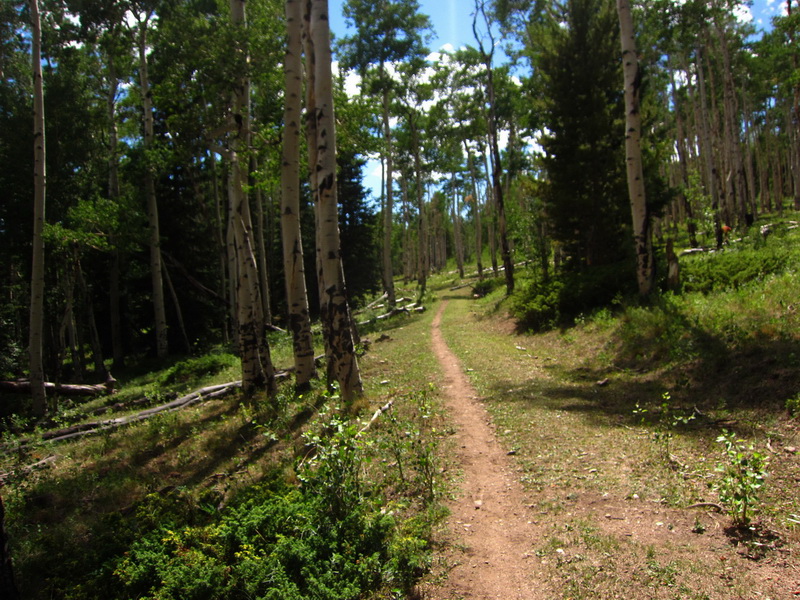
I cooled down on the CT out of Blanks Cabin, which seemed ever so tame and ever so sweet. You mean I can let my concentration lapse for a split second and not die?
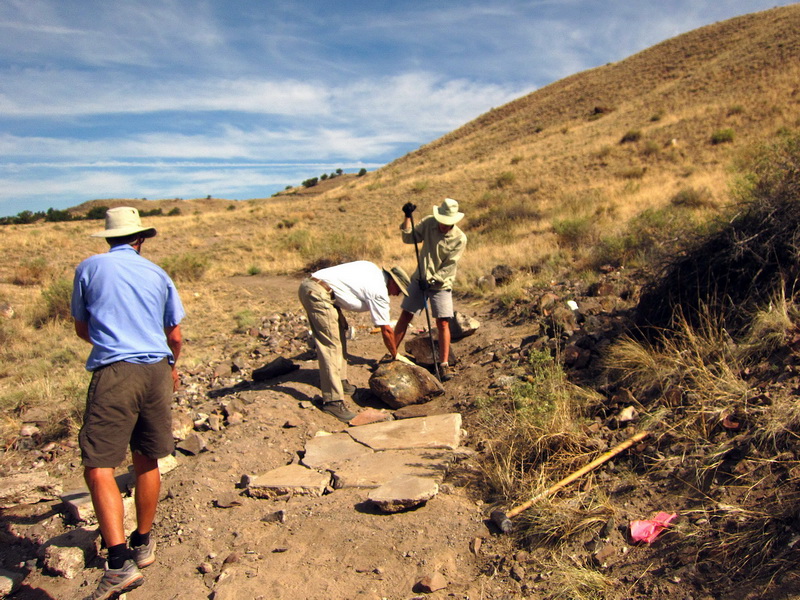
I put the nail in the coffin the next day, spending the morning collecting and arranging rocks, armoring a new section of trail behind S Mtn. I figured that would put me out of commission and force a good week of rest. I should have known better…
It was a such a great week (8 days) of altitude bliss. Colorado in August. Oh, yeah.


crack-a-licious!!
you look SOOOOOOOOOOOOOOOOOOOOOOOO happy 😉
jj
Awesome!! – Way to slay some peaks!!!
Yummmmmmy!!!
Good gawd that is an impressive week of riding. Now I really need to find something huge to ride this weekend. Thanks for the inspiration.
Do I see a “1st person to ride all 14’rs” in the future??????
Super Inspiring, Scott…geez…
Awesome achievement! I share your love for biking 14ers. Still haven’t quite made it all the way to the summit of Pikes by bike though, thanks to weather and choosing Elk Park trail out of Barr Camp. Now I hope to knock out Sherman within the next week or two before Pearl Pass. Thanks for sharing!!! FYI Pearl Pass Tour (12,700 el) is the 2nd weekend of September.