Nobody really talks about riding in the Tortolita Mountains. Least of all me — truth be told I’ve never laid tire to dirt out there, and I outta be pistol whipped for this shortcoming. Trails left unexplored right out my back door!
There isn’t much in the way of established singletrack, and that’s part of why I’d never been out there. But a Tortolita Mountain Park has been planned for eons by Pima County. Mark F and Tim M have been flagging new trail (I was lucky enough to take over for Tim while he was floating the Colorado for ~30 days) and in the process of their wanderings, they found some interesting trail of unknown origin.
Tim was able to put together a coherent route and a GPX file has been sitting in a folder on my computer for a few months. GPX files are patient, fortunately, and the points were still there when I loaded them into TopoFusion this morning, a few minutes before heading out the door.
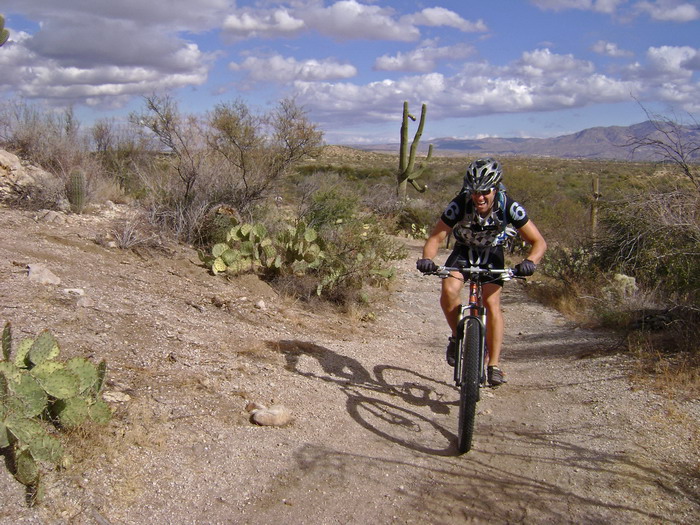
We met at Oracle & Ina. I had talked Chad into showing me his singletrack bypass for the dreaded Oracle Road. It worked out well, and we added a long concrete wall-ride extravaganza to the route.
After some more suburban fooling around, following dead leads and hopeful snippets of singletrack, we joined the GPX route and made our way into the Tortolitas.
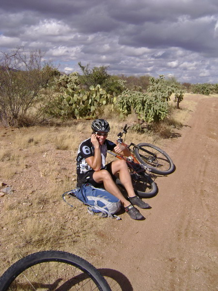
First we had to get Chad off his iPhone.
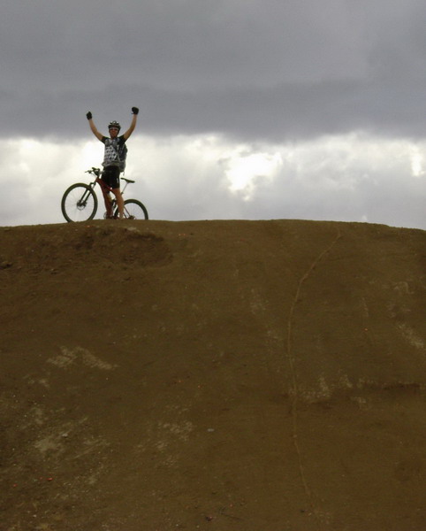
Chad cleaned it first. You can see the line he took to the right. Eric followed.
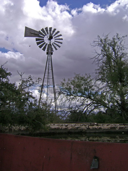
Fence and gate confusion at the windmill. Par for the course in cattle country AZ.
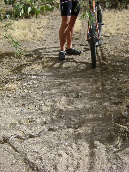
Close call for both snake and rider.
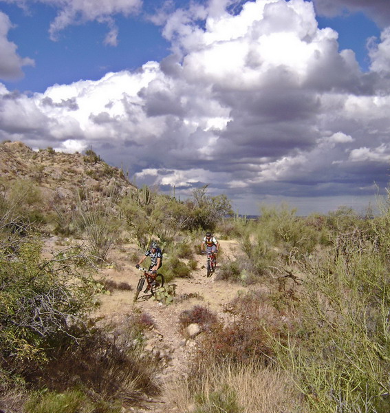
It was a little sandy at times, and overgrown most of the time. But nice trail underfoot. There’s a comfortable chaos to these trails. Definitely not for everyone. Slightly maddening, raw and untamed.
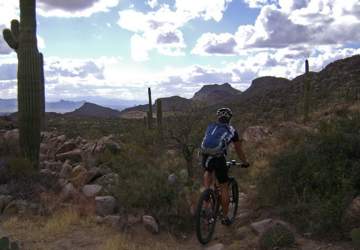
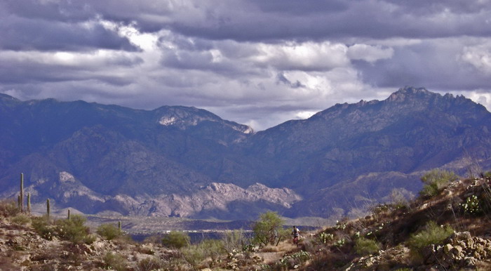
The weather was “OK” too — upper 60’s and mix of dark clouds and crisp blue sky. We crested a small pass next to Tortolia Peak, where the trail got more interesting — rock instead of sand.
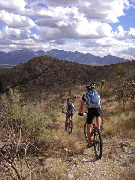
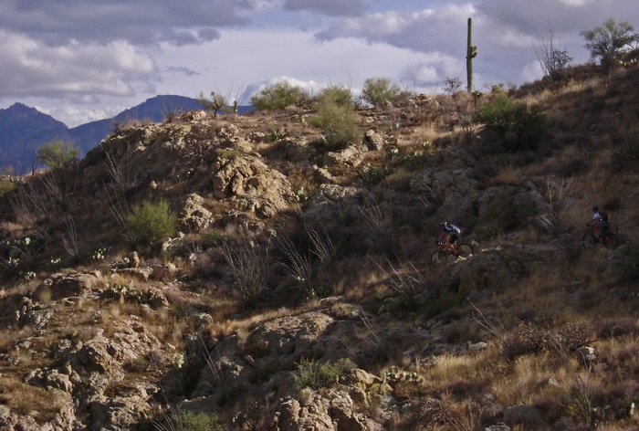
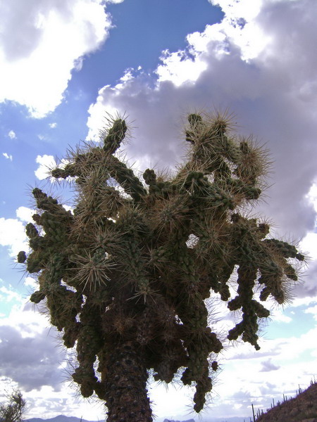
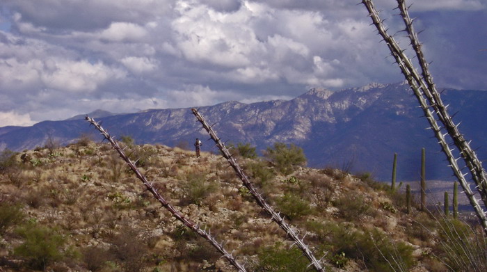
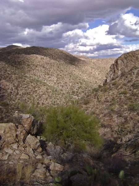
We accidentally descended into a side canyon. But the switchbacks were fun and the trail was hot. We had descended several hundred feet before I even cared if we were on the right trail or not.
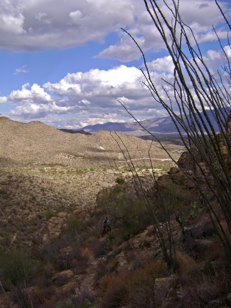
Back on the intended route we got a big view of Tucson — far below us. Tim didn’t think the final descent would be very rideable, and I could see why. It looked steep and sketchy.
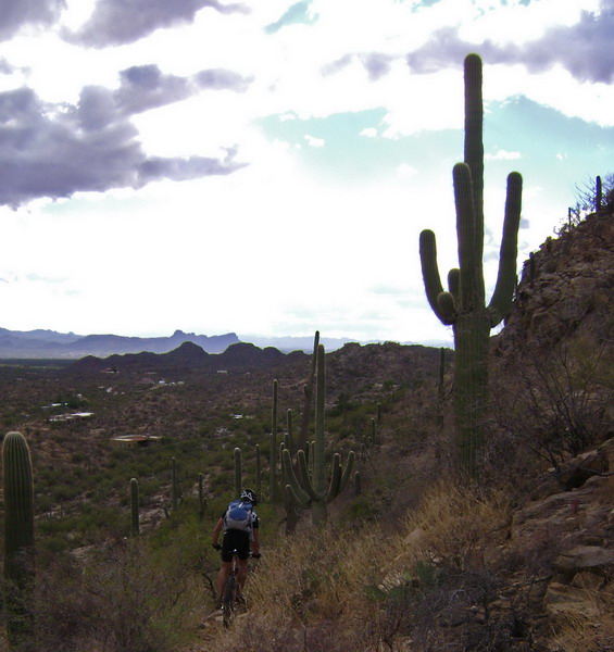
But we had a cheering section — a family out hiking. “We are so impressed! Wow!”
Some of the turns were too much for us, but we rode a lot more than I would have thought.
“This trail’s rocking my world” — Chad Brown.
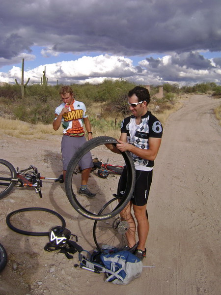
After the obligatory Chad flat, it was time to hit the road.
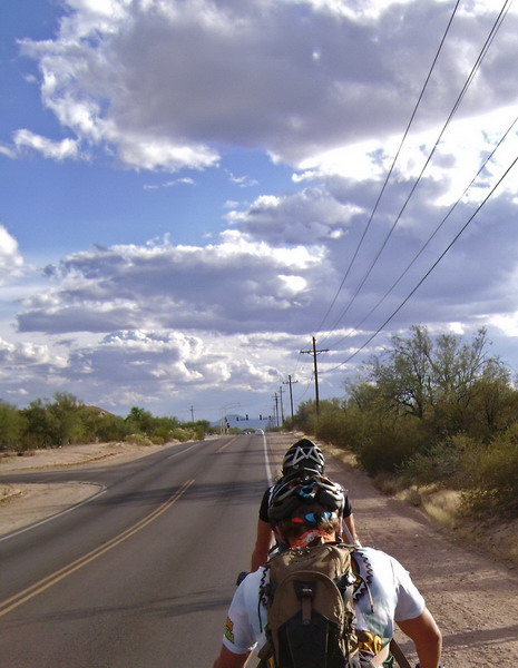
But Chad had some more suburban shortcuts and trail segments. The power of local knowledge. Before long I was back at Oracle & Ina.
A little over 5 hours and ~40 miles.


“comfortable chaos” — well said.
Those pics + Chad’s description = me needing to ride that next time I’m down there.
Yuri — if you want a GPX, let me know. I still need to quiz you again about Hog Canyon…
Uhm, I need to check that out. Would you mind emailing the .gpx?
Hey Scott…would love to include this trail in SW Trails mapset. Can I get the gpx? Thanks!
Could you guys send me a GPX? I live nearby and have been exploring, but the trails seem a bit mamed from where they have put the Ritz and the new golf course. Also, been looking for a way to get to the backside.