Just south of the Gila River there is a mesa of rock known as Area 52. Efforts are underway to declassify this formerly secret alien lair, and this post is just one of those.
If you want GPS data, just let me know. I’m working on a map, as well.
This is an awesome “free ride” area. There are no trails, just rock and endless lines. The scenery is “ok”, too.
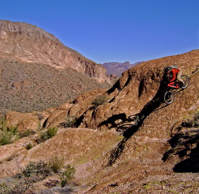
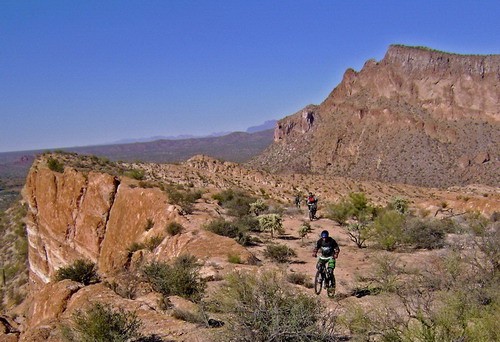
Louis was the first to explore the area by bike, and he was in rare form on this trip.
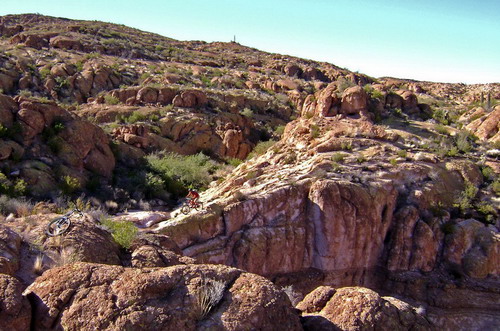
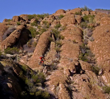
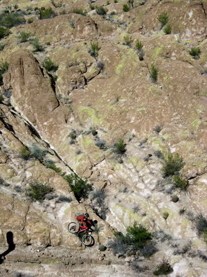
Some pictures force me to stop and wonder, whenever I see them, and no matter how many times I see them. The above is one of them. I didn’t intentionally cut off the bottom part (when taking the pic), but it sure looks he’s riding across a cliff. That’s not too far from the truth, really.
My Lenz Behemoth came into its own on this trip. With hydro brakes confidence was higher than usual. Not so much for crazy lines, but riding in general. By whatever combination of factors, I found it easier to move around out there than usual. It’s usually slow and flow is hard to find. Not so much today. There were many great moments out there, linking different moves.
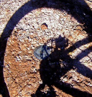
Inventing a climbing line up the stairs, switchback style, with only a handful of dabs was definitely a highlight. Otherwise I split from the group to do my own thing near the end. I wasn’t ready to head back when people started descending back to the white rock, so I hung around and rode and re-rode some of the fun stuff. There was one 3-foot drop that flowed so incredibly well that I rode it at least 10 times. Pedal up, coast, lift up, perfect landing… ahhh.
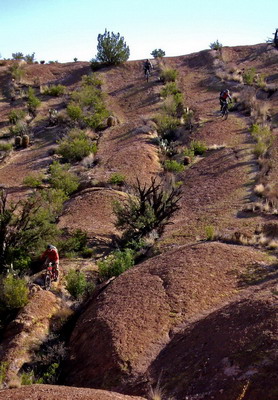
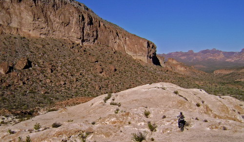
You know it’s a good ride when you badly wish it would last longer. Even when I dropped all the way down I was thinking, “let’s go back up again–lap 2!!”
There was a good group of people out there. Many people new to the area. Not sure how many of them will be back soon, but I sure will be. I hope quite a few others will get the Area 52 experience soon. It’s a special place.
3D map from TopoFusion:
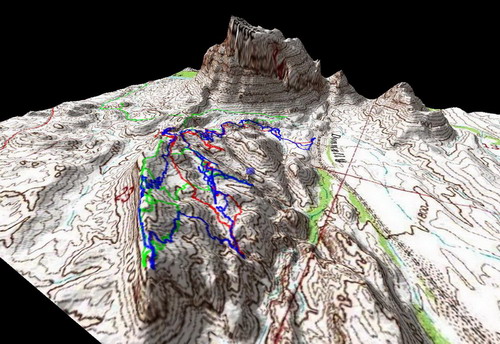
Red/Green/Blue represent my three trips to the mesa, exploring different lines. A comprehensive aerial map is coming soon.


Wow, that has some serious potential.
Scott- I gotta stop reading your blog. I get so jealous of all the riding you do that I am going insane.
These are awesome shots of Area 52. I’d never heard of it until your post, so word is spreading. I want to get there and spend the day getting lost in the lines. Your GPS data would seriously help me. Mind sending it my way? I promise I’ll start using TopoFusion again… and spreading the word about Area 52 on my blog as well.
Thanks for all the virtual riding.
Yep, GPS data and map will be coming. I’ll post it on MTBR when ready.