Post by: Krein on January 09, 2008, 09:45:59 PM
Two new map servers have been added to the available imagery in TopoFusion:
1 - Canadian Topo Maps
2 - TIGER street data for the United States
For other additions see the revision history:
http://topofusion.com/revhistory.php
We also put together a fun page showing the history of the TF splash screen:
http://topofusion.com/splash.php
For registered users, remember that you can get both your name/code and the download URL by requesting an automated "lost code" from:
http://topofusion.com/lostcode.php
(Recall that the demo version cannot be registered)
Thanks!
Post by: Krein on January 11, 2008, 09:16:00 PM
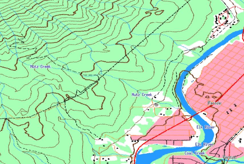
Canadian Topos:
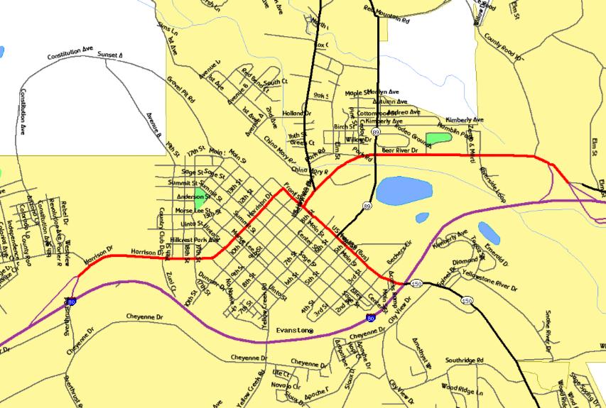
Tiger Street maps:
Post by: on January 16, 2008, 07:41:54 PM
Post by: Dwight Sunwall on January 16, 2008, 07:48:05 PM
however, I do not see any elevation labels.

Post by: Krein on January 16, 2008, 08:46:31 PM
Funny, when you upgraded, all the Canadian Topos should have defaulted to enabled. Glad you got it, though.
As for evelation labels, you are right - there aren't any, unfortunately.
Post by: Dwight Sunwall on January 17, 2008, 12:09:04 PM
Post by: Krein on January 17, 2008, 04:35:38 PM
Of course, you can add elevation to GPS points using Climbing Analysis, and 3D mapping also works in Canada.