v5.06 – Post-CDT Revisions
Monday, October 20th, 2014
author Scott Morris, thru-rode the CDT, summer 2014
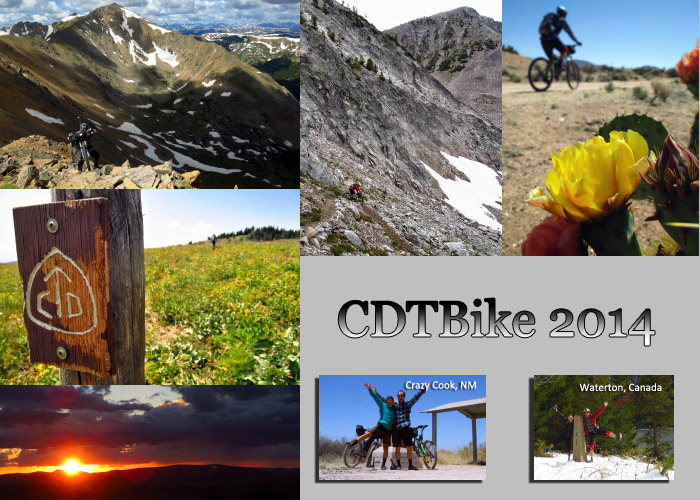
TopoFusion author Scott Morris is back from the trail, after a 4+ month break from the computer. He spent the summer cycling and hiking the Continental Divide National Scenic Trail (CDNST) along with his partner Eszter Horanyi. It’s believed they are the first people to traverse the trail from end to end by mountain bike.
Scott is back on the computer now and a new version of TopoFusion is out, version 5.06. This revision updates a number of server access methods, so if you are getting lots of stuck ‘downloading’ tiles, it’s time to update! It also fixes a number of bugs, including one that has been longstanding and difficult to squash. See below for full revision details.
To read more about “CDTBike” — traversing the CDT by bike, head over to Scott’s CDT 2014 Journal for full journal entries, tons of photos, and of course, some GPX data.
Thanks!
Team TopoFusion
Head over to the Download Page to try TopoFusion out, free of charge.
Registered users refer to your registration email for the download link, or go here to request your code and the download URL.
Full list of changes
For a complete list of changes see the Revision History, or keep reading here for what has changed since the last public release:
5.06 [10/20/14] (Full Release)
Fixed Access Violation in Paint bug when dealing with bad server tiles
-Possible source of many intermittent crashes
Correct Elevation using DEM button now affects/assigns waypoint elevations
(previously only trackpoints were affected)
Fixed D3D errors when using GPS Livetracking and coming back from
Hibernation/Sleep mode
5.05 [10/8/14] (Beta)
Fixed Color Aerial tileset due to server change
Fixed USTopo tileset due to server change
Fixed USGSImagery tileset due to server change
Fixed source of crash in Live Tracking with Garmin USB devices
Added experimental auto track join to Debug menu

