 new Landsat, new elevation data
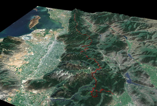
As posted in the announcements forum, our trusty OnEarth server ceased giving out Landsat and Elevation tiles in the last week. Version 4.8 replaces OnEarth with a different NASA server, and there are some improvements! First, elevation data is global -- before TopoFusion had no elevation data in extreme latitudes (60*+). 3D in Alaska! Second, the Landsat imagery is higher quality, better true color, and still covers the whole world. This is definitely an improvement for non-US users.
We also added the Juicy Trails tileset, which is a very nice rendering of OSM street, topo and (most importantly) trail data. See
http://juicytrails.com for more info, but this is a very nice tileset to have available in TF. Please consider adding trails to the OSM database (which will then be reflected on Juicy Trails, too).
We had some other small fixes, but needed to push this new version with the server change out ASAP. Please let us know of and issues or feedback you have.
Thanks!
4.80 â [8/14/13]
Added new server for Landsat and Elevation data
OnEarth server has been retired
Elevation data now available above 60* and below 60*!
Removes issues between NED (US only) and SRTM (global)
Option for force SRTM removed
Landsat imagery now true color reflectance (instead of Mars-like color)
Better resolution, especially outside the USA
Fixed moving time calculation for reversed tracks in profile tool
Increased possible size of KMZ tiled map exports
4.79 - [7/26/13] (Beta)
Fixed profile errors with tracks missing time, introduced in 4.78
Added Trackleaders FastMarker export
4.78 â [7/25/13] (Beta)
Added Juicy Trails tileset â âJâ key shortcut
Fixed KMZ tiled map exports for over 500 tiles at a time
Fixed speed display for sub-second GPX files

