Post by: ScottMorris on May 02, 2008, 01:07:57 PM
Exploration, adventure, exercise... exhilaration.
TopoFusion author Scott Morris has been logging his rides on his diary since 2003. We love ride reports.
So we're running a little promotion. Post a ride report here on or before May 16th, 2008. We'll choose our favorite and the winner gets a free copy of TopoFusion. And everyone will get a 15% off coupon code just for posting.
Rules?
* Must be at least 200 words, and have at least one photo.
* Doesn't have to be a ride -- could be a hike, a run, a mountain climb, a 4x4 excursion, etc. Any adventure will do.
* Any GPS content is encouraged, especially a map.
* Straight HTML can be posted in the forum. Recycling ride reports from your blog or another forum is OK.
* include your email address in the post, or email us at contest@topofusion.com with your address. We'll send you the coupon code and let you know if you're the winner.
* Contest ends May 16th, 2008.
Post by: ScottMorris on May 07, 2008, 09:30:32 AM
Anyway, here's a recent ride (a rare shuttle ride for me, I'm no downhiller):
*------------*
A week ago I hadn't ridden Green Mtn for over a year. What's wrong with me?
Now I've ridden it three times and am gunning for more.
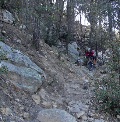
Max has an obsession with the trail (and shuttling it).
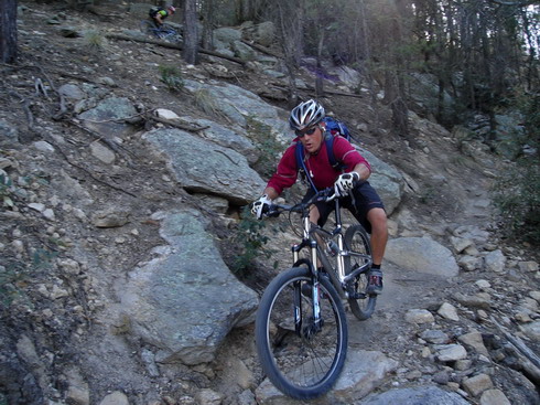
With good reason.
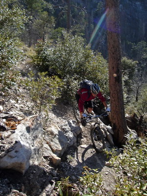
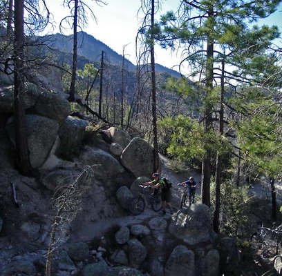
Good old fashioned hike-a-bike.
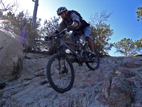
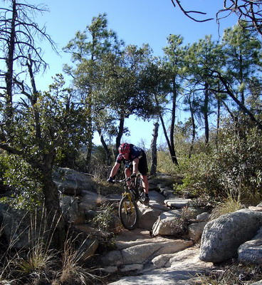
I bumped into none other than Steve Wishart on Sunday's high spirited cruise around Starr Pass. He was easy to talk into the shuttle ride. Steve is an old friend from the UA cycling team. He and I went to Sandpoint, ID to race collegiate nationals together, among other adventures.
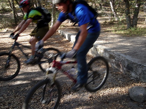
BMX'ers know how to jump. They need to learn how to use front brakes, though.
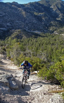
Climbing 'the scar'. The kid gave it a great effort. I think it'll be cleanable once we get some rain.
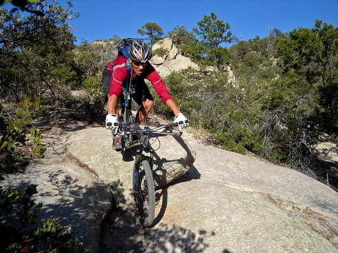

After singing praises of the Leviathan, I'm ready to do the same on the Behemoth.
Which bike is my favorite? Whichever I last rode.
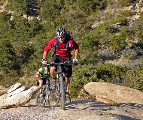
Green, Bugs, Molino. Self-indulgent cinco de mayo / birthday shuttle ride. Then a late dinner at an empty but oh-so-tasty mexican restaurant with Paula. Hard to imagine better ways to celebrate.... being alive.
Post by: guney on May 07, 2008, 11:57:35 PM
A little less than two years ago, a friend of mine and I went on, what to me was, an epic ride in the Santa Cruz Mountains in the San Francisco Bay Area. For those familiar with the area, it started at the headquarters of Big Basin Redwoods State Park, crossed a couple of ridges to get to Gazos Creek Road, followed the road to the Pacific Coast, and climbed back up to the starting point along the top of Bolinas Ridge. Something like a 34-mile round trip.
The GPS track of the ride looks like the following on the map:

As you can see, part of the track is broken and also takes a few huge straight-line steps here and there. That was the part of the ride with the heaviest tree cover, where my GPS receiver gave out. It's still easy to follow the actual route, though, by following the contour of the valley on the topo map.
To show where this area is situated, here's a wider map with the track shown on it:

The beautiful aspects of the day started with this view onto the fog-filled valleys of the Santa Cruz Mountains on our way to Big Basin park:

The ride actually started quite eventfully. As we were approaching the trailhead, we encountered a ranger truck that was oddly driving very slowly on the narrow park road and lingering in front of us. The driver eventually let us pass and things made more sense once we reached the park's parking lot. Apparently, a couple of horses had escaped from a nearby property and the owners were trying to capture them with the help of the park staff. This was happening right around 8:00 am, which is the park's opening time. So, there was hardly any day visitors around other than us.
To help corral the animals, we actually temporarily positioned our car along a makeshift "barricade" that would divert the animals into a more enclosed part of the park HQ area. The CR-V on the right is mine:

After another few minutes, the two central figures of the excitement showed up:

It didn't take much for them to be taken under control by their owners. (As you may notice, it turns out that they were one horse and one mule.)
Our ride started out by climbing over two ridges to get to Gazos Creek Road. This added up to about 1600 feet of total elevation gain, which wasn't much in the total picture of the day's ride. The total climb was to add up to about 3900 feet altogether.
While crossing the ridges, one minor diversion was going past a camp called Sandy Point Line Camp. I'm not sure specifically which type of camp it is, but one interesting sight as we were going past it (and there wasn't much visible, in general) were these teepees:

(Don't ask me what the story is about them; I have no idea!)
After doing a fast descent toward Gazos Creek Road, where some portions were actually covered in a lot of loose gravel, making fast cornering a little more exciting than it needed to be in some cases, the road actually flattened out next to the deeply shaded and gorgeous creek bed of Gazos Creek. That's also right around the area where we rode past this "local curiosity":

I don't suppose the pickup truck could've been too old. Some tires still had their air in them, and most windows were intact...
Gazos Creek Road is a very remote road that reaches far into the mountains from the coast. There's almost nothing at all along the road.
While the original idea for the ride was a loop, we had kept the option open in our plans to extend it to the coast. When we reached the paved portion of Gazos Creek Road and quickly descended to the decision point, that's exactly what we decided to do, with the "since we're so close anyway" justification. This added that little spur that's visible in the southwest corner of our loop in the GPS track. That and about an additional 5 miles of riding.
When we reached the coast and had our lunch in the setting below, that all made it worthwhile though:

That's actually not me in the photo. It's my riding buddy, Ali. (He had the good fortune of being in the better looking beach shot...)
As we set out to return, the hardest part of the ride was before us (because most of the climb was). The climb up Bolinas Ridge was initially at a steady and reasonable grade. It stayed that way almost up to the airstrip on that ridge. Probably few (even local) people know that there is a dirt landing strip right near Butano Peak (around 1700 ft elevation). It's a quarter-mile-long strip right on top of the ridge! Here are a couple of images (looking left, then right):


That little "ant" in the second photo is, again, my riding buddy Ali, returning from a recon side trip to explore that end of the airstrip. By this stage, I was already bonking, and couldn't stand the thought of covering even an extra foot of distance that I didn't have to.
After that, the trail basically started following a series of humps, which I didn't appreciate. Why can't they just carve the hills to let the trail go straight?... Each of those short climbs were painful for me to even walk my bike up.
Finally, we reached roughly the point where our turn-off point would be from Butano Fire Trail atop the ridge, downhill back toward the park HQ. We had some difficulty locating the intersection (judging by our position with respect to the route shown on my GPS screen). After a couple of back-and-forths past where the intersection should be, I noticed what looked like the beginning of a trail behind a log. Well, we've come all this way; if that was the trail, we had to take it--log or no log!
So, we did. It was a singletrack and it quickly became steep and rutted. Then it became overgrown. It was basically following the line of that section of ridgetop straight down. When we finally came out onto an "ex" intersection of that trail with a fire road below, there was another large log there, too. I only realized after returning home that I had plotted that short section of our route on my GPS over the wrong trail shown on the topo map. We should have gone another quarter mile and we would have come up to an intersection with the upper portion of that same fire road we eventually met below. Oh well! I'm not sure I've ever ridden on another illegal trail before or since.
From then on, it was a straightforward fire road descent all the way to the parking lot. And it felt GLORIOUS; after 30+ miles and nearly 4000 feet of total climb. When we reached the park HQ area, the whole place was alive with families and overnight campers who were now out an about. We just looked around and amused ourselves by contemplating how no one around us would have suspected that we had just finished a 34-mile round trip that took us all the way from there to the ocean and then back again. It felt quite nice!
Ergin Guney
guney@juno.com
Post by: ScottMorris on May 08, 2008, 08:08:15 AM
Very cool, thanks for sharing.
(15% code sent, and you're the front runner for a free copy!
Post by: on May 15, 2008, 12:39:20 PM
Hollister Hills State Vehicular Recreation Area offers roughly 3200 acres of terrain for motorcycles and 4 wheel drive vehicles.
The park is separated by two areas. The Upper Ranch Area is an 800 acre area with 24 miles of trails specifically for four wheel drive vehicles.
The Lower Ranch Area has 2400 acres set aside for motorcycle and ATV use only. There’s a small section of the Lower Ranch that is reserved exclusively for mountain biking and hiking; specific to me, trail running.
I’ve been looking for some decent trails to train on for my upcoming 100 mile trail run and the fact that this park is 15 minutes from my house, makes the Hollister Hills Nature Area (HHNA) a potential “home course”.
There are roughly 10 or so miles of trails, but enough small loops to create a 30 mile training run by the end of the day. It’s simply amazing that there is little written about this area. The times I’ve been out there, I have never seen anyone. In fact, a couple of people who were camped by the entrance of the trails asked what was back where I was headed. They WERE there to ride motorcycles though and not hike/run, so I’ll give them that.
Since there isn’t much written up on the HHNA, I decided to offer up a little walk through.
Parking for the Nature Area is at the end of the main park road.
You have two trail choices at the entrance to the park: Beck Trail and Bird Creek. Looking at the entrance, on the left is Beck Trail and on the Right is Bird Creek. Beck trail is a single track trail that follows a little creek with two bridges that allow you to cross. Bird Creek is about the size of a 4-wheel vehicle track.
If you follow the single track Beck Trail, it will end at Bird Creek. Continue following Bird Creek up the hill. There’s about a 1.03 mile climb (from the entrance) to Bathtub Rocks.
On the way, you pass the U.C. Berkeley San Andreas Geological Observatory. Along this trail, you may also see small waterfalls on the left of the trail along with sheer rock faces on the right.
On the way down back down from Bathtub Rocks, Chamise Trail is on the Left. Chamise trail is a single track switchback trail that climbs roughly 700’.
The trail is a decent climb. When you get to the top of the Chamise Trail, you have a choice. You can go left on an unmarked trail or you can go right on Hidden Springs. During my hike last weekend, I chose left.
The unmarked trail seemed maintained up to a point where there was a lot of overgrowth. It got to the point where I thought I was on an animal trail. I don’t know if the park has plans on making that an official trail. I sure hope so. It’s got a great climb.
After a little over a mile, the unmarked trail finally ends up at Cathedral Rocks. If you take a left on Cathedral Trail, you end up at a locked gate.
For my run, I continued down Cathedral Rocks Trail. Cathedral Rocks Trail needs some serious trail maintenance because of overgrowth. I’m thinking about taking some tools out with me next time, just to clear the trails. Cathedral turns into Madrone. If you continue onto Madrone, you pass by a newer installation for the U.C. Berkeley San Andreas Geological Survey. This area provides a great view of the valley below.
Madrone Trail ends at Hidden Springs. I turned right on Hidden Springs and enjoyed a nice wide trail back down to the Bird Creek Trail.
All in all, the loop was roughly 5.15 miles and a great opportunity for me to get outdoors. My only fear is the poison oak. I'm extremely allergic. I’m afraid that with all of the overgrowth, I might brush up against it.
Bring on the cortisone shots.
(I took my GPS Track and overlayed that on a park map and included pictures from the run)
Post by: Maty on May 15, 2008, 02:13:09 PM
... my trail report? COMMING SOON
L.M. - Cheb, Czech Republic, Europe
Post by: Maty on May 15, 2008, 02:37:11 PM

Greetings from Cheb - Czech Republic - Europe.
I have to try it... There are only TWO ride reports, so I CAN win the free copy of my favourite GPX files viewing software - TopoFusion
The story and training happened on 23th April 2008. My good friend Milan was looking forward to try Prague International Marathon (PIM). He is very good sportsman and his training was this day almost at the TOP. So I asked him to run together and he answered: "I'm going to do a SHORT trail... OK, I will be happy to run with someone!" His goal was the top of Zelena hora (Green hill)
 , which is not high, but the trail isn't short and easy - I use to ride almost the same way on my MTB!
I wanted to try the new geotagging feature of TopoFusion 3.32 and compare with other tools (for example GPSed.com). So I took my GPS and camera too. As you can see - it wasn't a SHORT trail, but very nice one! And what more - there is an contrast / difference between:
GPSed.com services - online (not always good), without average- and max-speed, nice photos included click here;
MapMyFitness - online, without pictures
TopoFusion - good to use it offline, not only with pictures, but with ALL the information about the track / trainig - I like it (but there is still the DEMO sign on it - so I have to win
After 1:20:51 of running it was enough... But I was really satisfied with this afternoon - GOOD TRAINING, CLEAR HEAD, A LOT OF PICTURES in my map (on right places even in offline mode). The average speed wasn't bad - 10,1 kph / 6,3 mph - with climbing elevation of 554 m. I felt not so good the second day... this was my first long run this year (yes, this is a long trail for me in the beginning). My friend was without problems not only this day, but also on 11 May in Prague - he did it!
So one more thanks for this great training tool - I'm using the DEMO version very often to see my workout and to log it - like the TopoFusion Log Book very much!
Greetings from Europe to all again!
Have nice days and ENJOY YOUR SPORT WITH TOPOFUSION - You can't forget the trail, when You see and save it!
Your glad user
Libor Matousek
www.matousek.tk
P.S.
As You can see below, I'm not using, but also writing about TopoFusion and publicize it as often as I can
iDNES.CZ
NAVIGOVAT.CZ.
Post by: on May 15, 2008, 08:22:13 PM
We started with the usual, the “dump loop”, up past the “hogans”, really just old wood cabins. Up over the top, but instead of dropping into “sand dome” we went straight. At this point we discussed the goals of our ride. I wanted to go for about 2 hours, everyone else wanted to find the Piney Hill lookout tower.
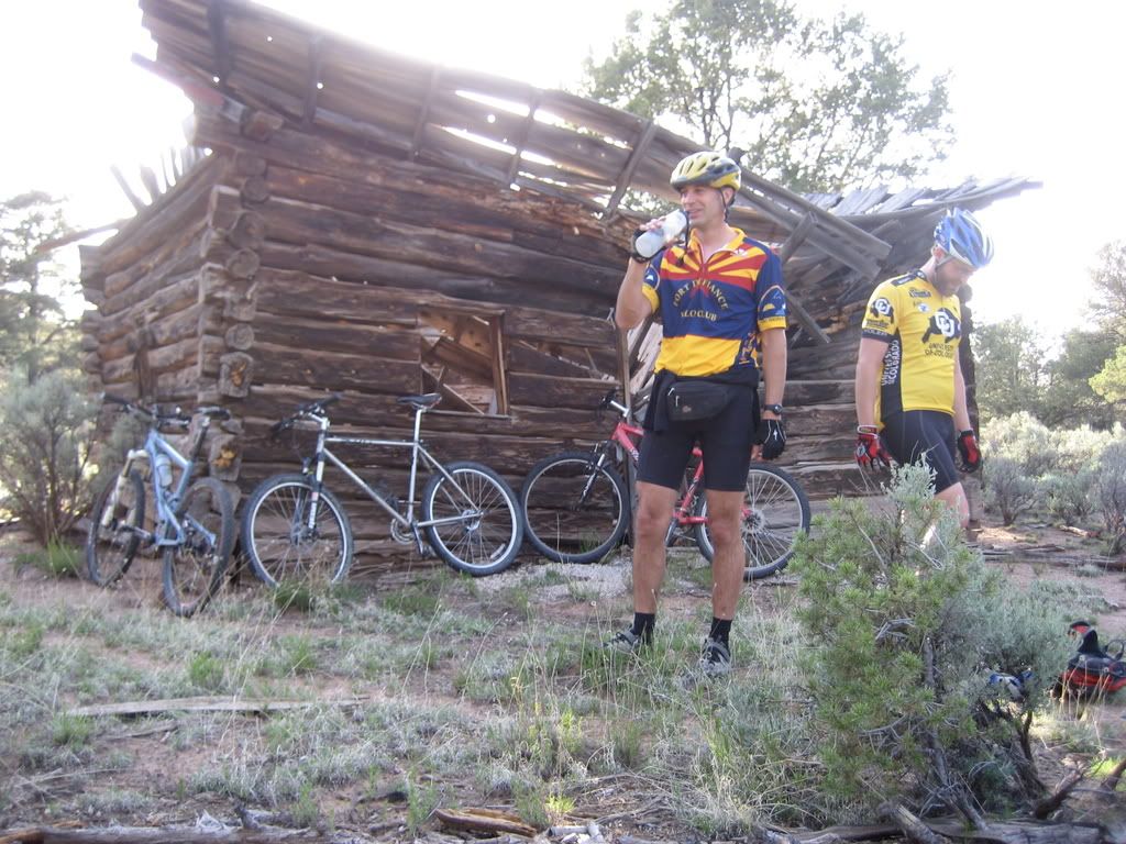
The year prior we had tried to find the lookout tower, but we had to turn back without getting there. You could see it off in the distance, but the roads lead every which way on the rez.
So we headed straight, in a mostly northern direction. Got to the Summit road (we guessed because nothing is signed, of course) and headed north again. The took the first left, a few miles up and headed down. Dead end, looking down into the canyon. Beautiful views, worthy of a picture.
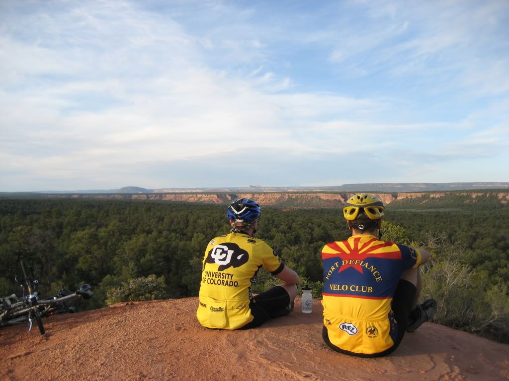
Headed back to Summit road, north again.
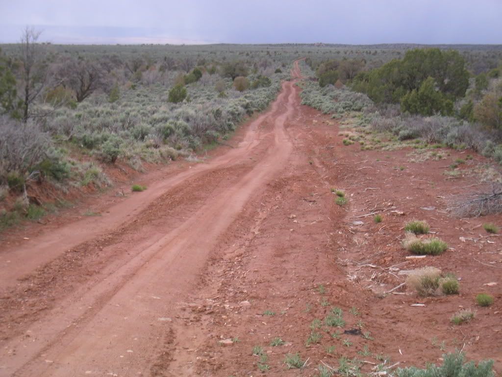
Few more miles up, this time with a sign that indicated the lookout. Success! 2 miles away, the tower awaited us. We weren’t home yet, as we each had 1 water bottle and only 1 gu packet (poor planning, I admit). Now, we knew were we were, at least in the grand scheme of things, but not really how to get back. At least not without riding the 17 miles we had already put in. So a phone call to the wife (yep, even cell phone coverage in the middle of the Rez) with the encouragement to call SAR if we weren’t home by dark. A mile detour down the wrong road then success! The road we had ridden up the year prior but had abandoned because it was in such bad shape. Well, the past winter wasn’t any better and it was a screaming, white knuckle downhill. Back to Sawmill road, out Blue Canyon and on home.
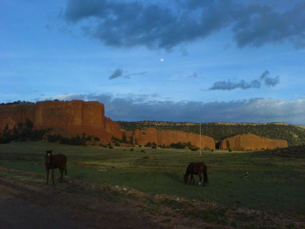
30 miles, 20 oz of water and zero calories in 3 hours. No cramps, no crashes.
The best part of this epic is what we learned. We have maps that we examine for new routes but finding those routes is very difficult. In my mind I am planning a much longer ride, building on this trip, to continue exploring the dirt logging roads further north. Nothing like using one epic to spawn months of riding. This time with more water and food. The adventure is the epic, isn't it?

torreyho at gmail dot com
Post by: Vegas Runner on May 15, 2008, 10:00:53 PM
Below is a recap of one of my trips to the Newberry Mountains. The Newberry Mountains are located just south of Las Vegas and are a great place to spend the day exploring. The mountains are rugged and are picturesque.

My First stop was a remote guzzler that was difficult to find. Along the way I spotted some petrogyphs. Petroglyphs are fairly common in southern Nevada and because I spend quite a bit of time in the outdoors exploring I have begun to learn where to look to find them. Most of the Petroglyphs in this area are about 700-900 years old. At least that is my understanding.

After leaving the petroglyphs I kept looking for the 1st guzzler. I don’t think I would have found it without Topofusion and the aerial photography. I finally did find it though. I inspected the guzzler to verify it was in good shape. If I find one that is not functioning I like to let the Nevada Department of Wildlife know.

My next step was to set up my trail camera. I found a location near the guzzler where I thought wildlife might pass thorough. One of the tricks to setting up the trail camera is to make sure it does not get triggered by moving bushes or grass that gets blown by the wind.

I left the trail camera and the guzzler and explored the rest of the area for the remainder of the day. All in all it was a super day exploring the Nevada outdoors. Here is a map showing the area that I explored

Post Trip:
Later in the week I went back to the guzzler and retrieved my game camera. Although I did not capture any images of Bighorn Sheep (my favorite), I did capture this image of a coyote

All of this was made possible by using Topofusion and my laptop. I really love the docking station. I don’t have to disconnect any cable to get the laptop in and out. It is pretty sweet.

I hope you enjoyed my story.
OFF TOPIC:
Although the links to the panoramic pictures below do not have anything to do with my trip to the Newberry Mountains I thought you might enjoy them. I create the panoramas by stiching together a series of still pictures.
Panorama 1
Panorama 2
Panorama 3
Panorama 4
Post by: ScottMorris on May 22, 2008, 04:06:04 PM
Sorry for the delay in choosing a contest winner. Part of it was that I was still out on the trail when the contest ended.
But the biggest delay was that it was hard to choose a winner!! I really enjoyed reading all of them. All were very unique and interesting in their own way. It's always very rewarding to see the different ways TopoFusion is being used.
I liked them so much that I'm upping the discount for all entries - to a 25% code (will be emailed to everyone shortly).
But the winner is...
CD's story of exploration on the Navajo Res. Great pictures and accompanying text. I think I have a soft spot for adventures that are off the beaten path, and nameless signless roads on the res are tough to beat in that category.
ED - very interesting about the guzzlers. I ran into one of those in the New Mexico backcountry this past weekend. It was fenced off to keep cattle out, but had a little pump into a trough especially for wildlife. Very cool shot of the coyote.
Libor - very cool to have an international entry. I was very interested to see someone using the program from outside the US. Feel free to send any suggestions about PhotoFusion our way - and thanks much for the help getting the word out about TF.
Ergin - I already commented above about your cool story. I've ridden a bit in that area, and hope to get back to ride some more.
Brian - Great work with TF and video walk-thrus, as usual. Keep up the cool work!
Thanks everyone for taking the time to write up your stories!
Post by: ScottMorris on May 22, 2008, 04:23:12 PM
Thanks again!