I’m dreaming of a new bikepacking loop. A low bikepacking loop. A warm loop. One that could be raced, stage style, in the middle of winter, when the bikepacking calendar is empty and the days are short.
I came up with a rough idea, but it held many unknowns, traversing a few mountain ranges that are not far from home, but unexplored.
The biggest unknown was the Roskruge Range, so we headed there first. I did a lot of map work, trying to find a viable route. To my surprise I found a pack trail, and further research indicated we might run into some “other” singletrack out there, too.
New country, new trails, how could Lee or Chad say no?
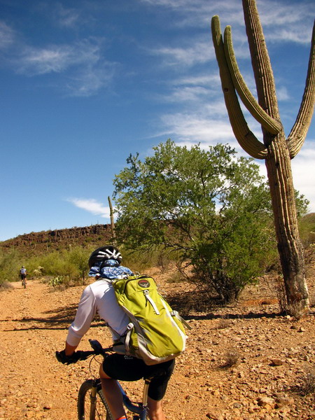
Requisite dead ends (shooting range!) and dog chases brought us finally to public land and rarely traveled 2-tracks. It was looking good already.
Approaching the crest of the mountains, the 2-track turned truly untraveled, except perhaps by immigrants.
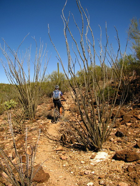
Then it turned to very sweet, if a bit overgrown, trail.
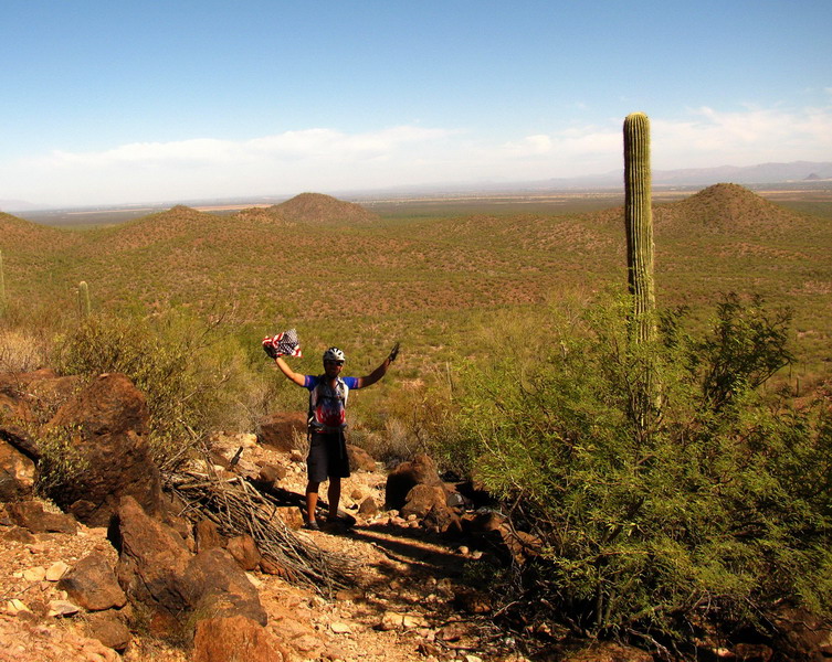
Chad swears he’s a US citizen.
It was impossible to miss the backpacks, shoes and other remnants of desperate desert travel. We hiked our bikes a bit down the gnarly trail, then resumed following the GPS track on a tiny road.
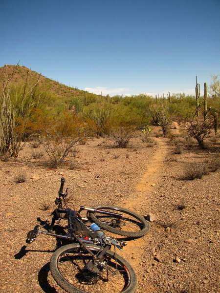
We spied a well worn singletrack on the left, leading just where we wanted to go. It was good enough to call Lee and Chad back over for a thorough investigation.
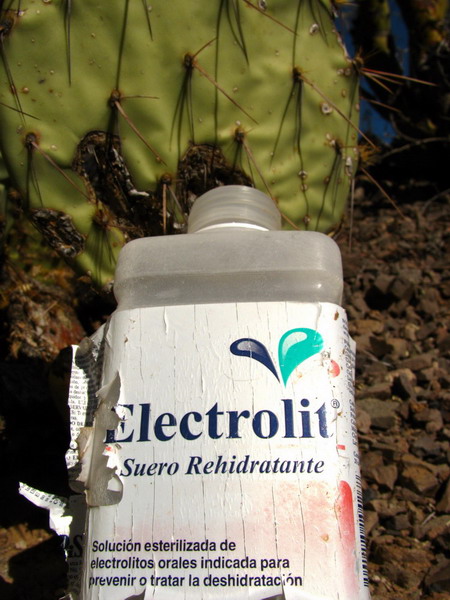
Electrolytes are important in the desert. These bottles were a common sight near the trail
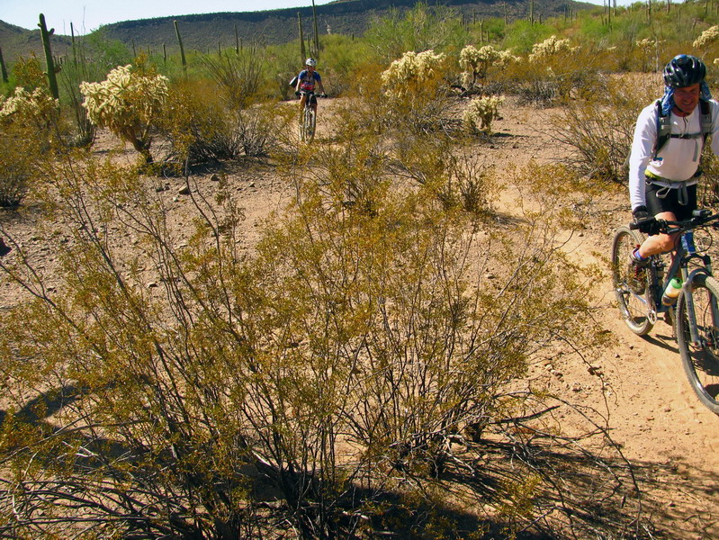
“IMBA would be proud… this trail has good flow!”
We were able to follow the trail for over 2 miles. Then we followed semi-sandy roads north and to the intended connection spot. We turned west to explore a different return route, probably all roads, but hopefully scenic and interesting.
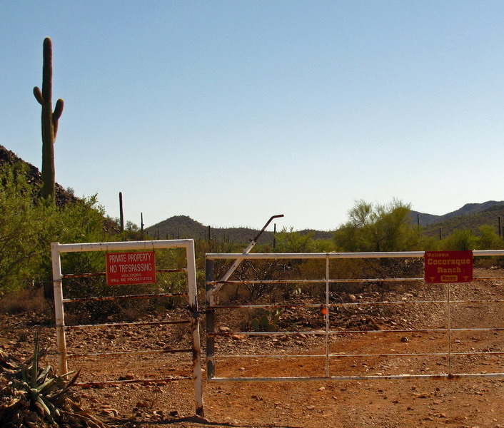
These two signs are strangely at odds with each other. Are we welcome or not?
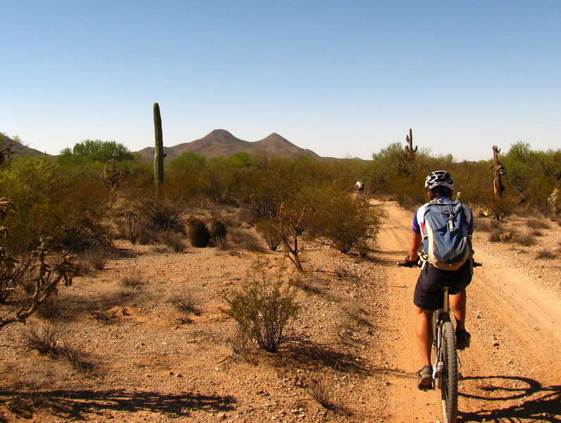
Chad riding towards ‘Dos Titos’ (real name on the USGS maps). We tried to get Chad to translate it for us, but instead we were left to wonder why he was so drawn to the landmark.

Prickly pear growing inside a Saguaro.

It was impossible not to get lost in the vastness of the area. Unspoiled desert, miles and miles of empty roads.
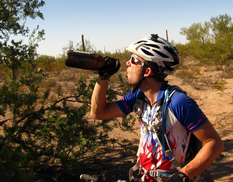
Also impossible to ignore was the dryness and desert warmth. I wouldn’t say it was hot, but definitely warm and desiccating. We were all running a little shy on water by the end. No matter how much I drank I couldn’t stave off the dry mouth and constant daydreaming of cold gatorade or chocolate milk.
Just thinking of how thirsty the ‘undocumented’ travelers of this region must get was a harrowing thought.
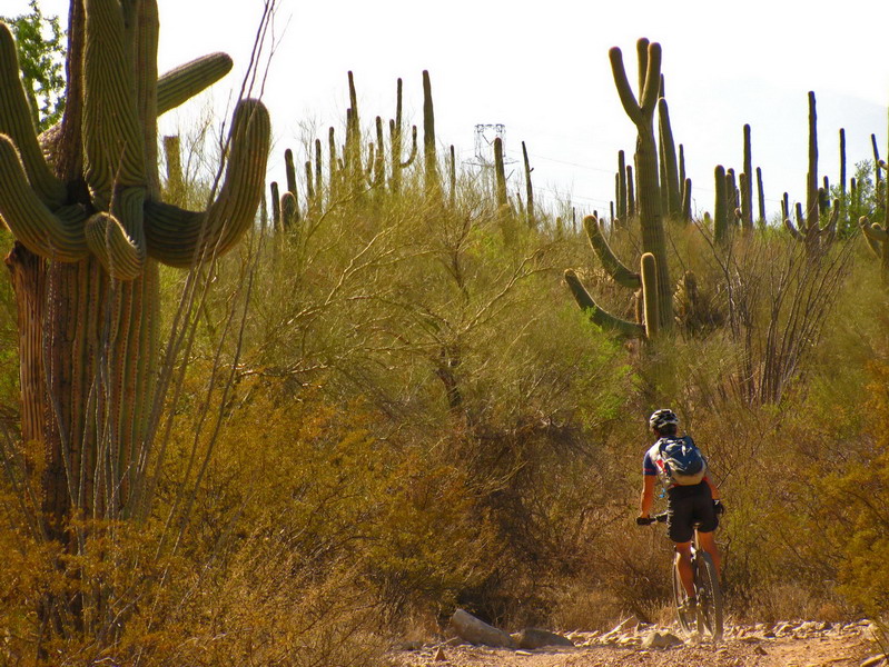
This may be the most saguaro packed ride I’ve ever done. I was getting tired of the roads by the end, but they do give plenty of time to look around and observe all the different configurations of saguaro out there.
Return to town for cold drinks was very welcome after 7 hours on the bike.
The crux of the route is looking pretty good, but many unknowns still remain. Figuring out the rest is half the fun, of course…


“After crossing the border and entering the Tohono O’odham Reservation, the smugglers would stick to ravines and washes as they made their way toward Pinal County under the cover of dark.”
I heard this on NPR today. http://www.azcentral.com/arizonarepublic/news/articles/2008/12/24/20081224tumbleweed1223.html
Looks interesting. But the whole premise for this falls flat once you step over that denial speedbump and accept that the bikepacking calendar is NOT empty in winter.
It just shifts a bit norther.
Ahem…
MC