The Arizona Trail is 95% complete, and the White Canyon Passage is one of the few gaps that remain. I was lucky enough to land a spot on the crew tasked with laying out one of the very last sections of the entire trail.
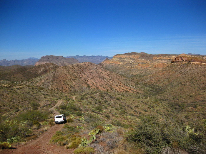
It was a bit of an ordeal just to get to base camp. Highways from Tucson, ledgy four wheeling out of Superior followed by some very gnarly roads. I hopped out and was able to walk faster than the vehicles for quite a while. It took a few runs of the jeep and the bikes to get base camp set up, ready for four nights.
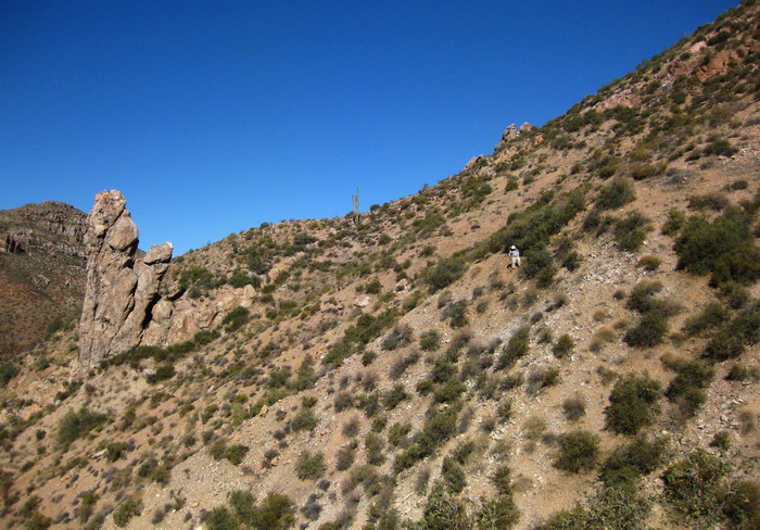
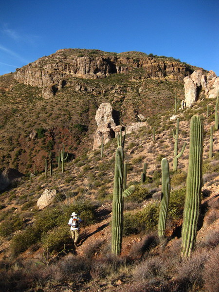
It was immediately obvious why this was one of the last pieces of the entire trail to be laid out. It almost looks too steep for Mark to be standing in that pic. That kind of sideslope was not atypical. I took all the sideslope readings and only once was the slope less than 30 degrees.
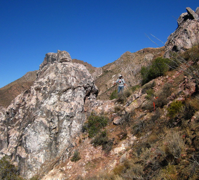
“Let’s take the trail right through here…”
Well, it was pretty much our only option at that point. Dynamite is definitely part of the plan, and many sections of bedrock will need to be blasted.
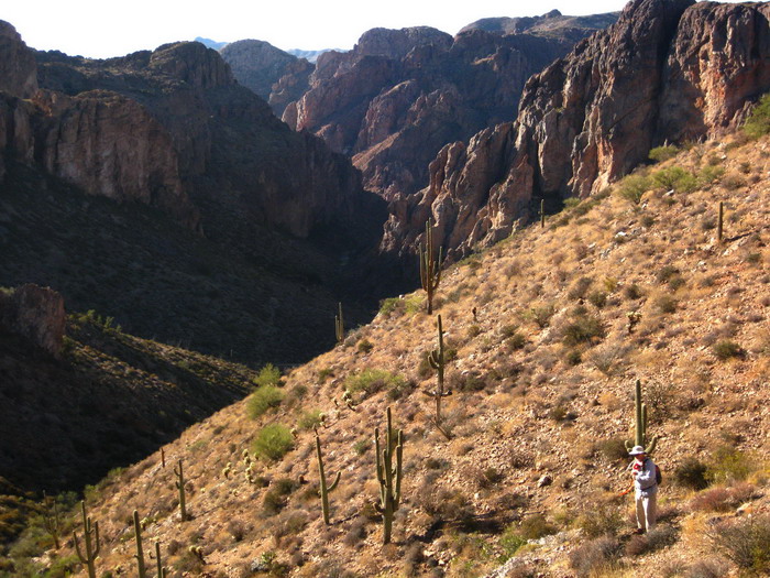
Sometimes the terrain was open and fairly easy to travel through. Other times, not so much.
“You know you’re bushwhacking when both feet are on bushes.”
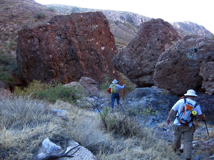
The daily commute. After a few passes out and back, we figured out the most efficient travel routes, and we walked this wash every morning and evening. Some very cool boulders and even a few fun little climbing moves, made more difficult by carrying stakes and nails in the pack.
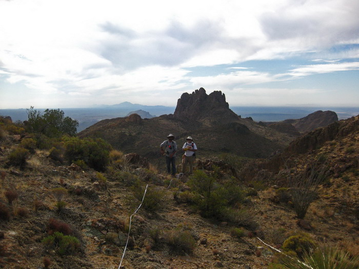
Once we had figured out the overall alignment, it was time to begin the survey. That pic is from the southern end of our piece. Visible in the distance are Area 52 and South Butte. This is definitely one of my favorite spots on the whole AZT and in Arizona in general.
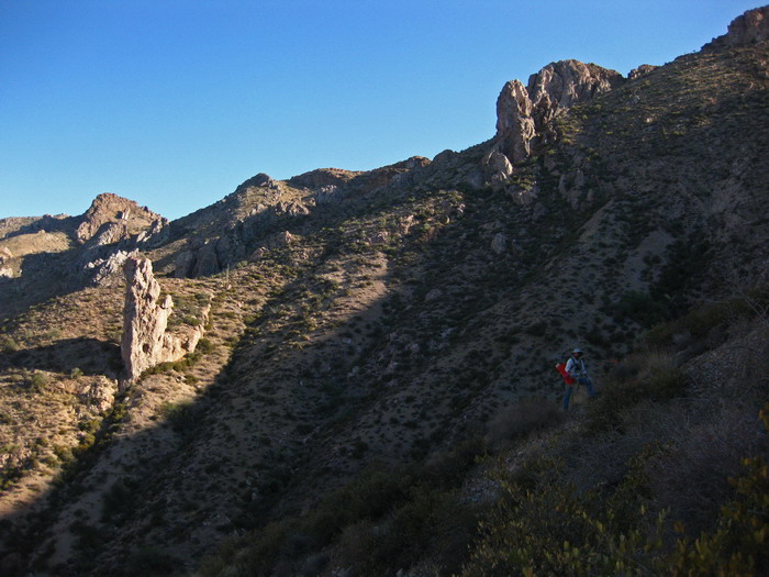
Tim was eying the pillar in the sunlight on that pic. Surely it would be a first ascent, and we named it ‘station 52’ since our trail line goes right above it, and that was our 52+00 station.
It was a little tedious (at times) to drive stakes and nails every 100 feet, taking measurements and notes at each station. Fighting to get to the next station was almost always a challenge and slips and near falls were unavoidable. I really enjoyed the challenge of it, and no matter where you were, the views were fantastic.
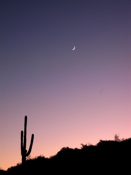
Camping was very peaceful, not to mention comfortable. It may have been a pain to shuttle all our stuff out here, but the “luxuries” were well appreciated after a hard day out in the desert.
There was no cell reception at camp or anywhere on our alignment. Neither did we see or hear anyone. Outside world = outside. It was a nice break from the usual concerns, and even perhaps from the bike, which sat unused next to a small tree the whole week. We had to utilize all available daylight just to finish the job.
I was happy I had it when it was time to leave. I opted to ride back to pavement rather than bounce around in the truck. Well, ride and hike. I had a zero percent chance of riding several of the 4×4 climbs out of there.
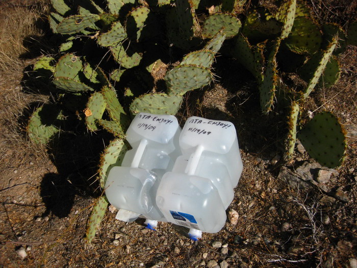
On the way we cached our extra water along the existing AZT alignment. Useful for hikers, but not cyclists yet (current bike route doesn’t go through here, but when our segment is built… whoo eee!!).
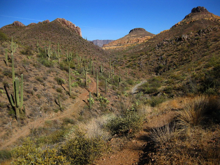
Suddenly I found myself right where I love to be. On a bicycle, on a narrow trail with an endlessly beautiful landscape in front of me.
I picked up a few miles of new-to-me AZT, then joined the AZT 300 route for its final seven miles. It was a just reward and a great reminder of what we had been working so hard during the week to acheive — desert singletrack bliss. Based on what I have ridden of this segment near the Gila river, what we laid out and how these ~10 miles ride, I predict this segment of the AZT will be one of the best rides in Arizona, period. The remoteness of it may be such that only bikepackers and very motivated day riders may see it, though.
For now, my feet are tired.


Wow- can’t wait to check out the new AZT route- it looks fantastic! I just love the White Canyon area.
Looks amazing out there…can’t wait to make it out there to see it.
Maybe the reroute around the Wilderness ain’t such a bad idea after all (scenery, solitude, no imminent mining doom, …water?)
Say, where is this exactly (approx vantage point)? http://www.topofusion.com/images/diary/whitecyn3.jpg
Brett, it’s roughly 33.16617° N, 111.13951° W. The photo is looking at upper Martinez Canyon (beyond where the motos can get).
Yeah, the lack of imminent mining doom and remoteness are big pluses. Ironically the wilderness route would have afforded less solitude, IMO.
No water though…
[…] the hand, the GPS is fun to use. It came in quite handy when I spent a week doing trail layout in a remote location. Having USGS 24k quad maps with my current location on them, was very useful […]
[…] a finalized trail alignment south of Picketpost Mountain. (TopoFusion.com’s very own Scott Morris, AZT & GET hike-a-biker, has been instrumental in laying out the line of the future….) For the time being, there’s still some interim route on 4WD roads and old singletrack, but […]
Just finished hiking this section with that amazing AZT maven Sirena. I have to give you a ‘I’m not worthy’ bow for this… Fantastic alignment and incredible work. Has to be one of the best segments of trail in AZ, let alone on the AZT!