v4.31 – MyTopo and TopoFusion
Monday, October 17th, 2011
myTopo maps in TopoFusion
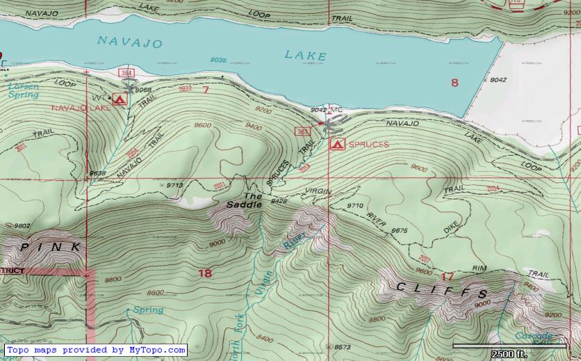
TopoFusion Pro version 4.31 is out, a quick response to a change in one of the software’s key tilesets — the myTopo layer, courtesy of myTopo.com. Originally introduced in v4.0, July 2010, myTopo maps are a major improvement over MSRMaps/Terraserver topo maps, featuring better clarity, more current maps and forest service updates (like forest road and trail numbers).
Last week (10/12/11) a server change caused new maps downloaded by TopoFusion to come in jumbled and corrupted. If you are getting myTopo maps that look like this:
this update is for you. Once you update you can use the reload maps tool (looks like this on the toolbar:  ) to point-click and force a re-download of any maps that came in corrupted.
If you haven’t checked out myTopo’s other services, you should. Besides the awesome (and free!) set of Topo map tiles for the entire US (and Canada) they offer some really nice printed map services. If you’re in the market for a printed map, buying one from MyTopo is a great way to say thanks for the free maps in TopoFusion. Check them out by clicking on their logo.

For full details on what else has changed, check the revision history linked below.
Head over to the Download Page to try TopoFusion out, free of charge.
Registered users refer to your registration email for the download link, or go here to request your code and the download URL.
Full list of changes
For a complete list of changes see the Revision History

