
New tutorials – uploading tracks and maps
Friday, January 8th, 2010We’ve got two new tutorials here on topofusion.com.
Uploading tracks to Garmin GPS units
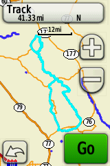
Uploading tracks to Garmin GPS units can be a bit of a mystery sometimes. 10,000 point limits, simplifying, splitting into 500 point chunks, 13,000 points for a course? And it’s a little different for every GPS.
We’ve got a new set of tutorials that should help, written for each of the main GPS “families”. Find it here:
http://topofusion.com/tutorials/uploading-tracks.php
Uploading Custom Raster Maps
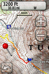
This is a new tutorial that should help people getting started with uploading custom raster maps from TopoFusion to Oregon/Dakota/Colorado GPS units. Or, help those already using it get the most out of the feature:
Find it here: