
New High Def Canadian Topos – v3.74 released
Sunday, March 29th, 2009We’re happy to announce the release of version 3.74 of TopoFusion Pro. Atop the feature list are new and improved Canadian Topo maps. TopoFusion was one of the first mapping apps to include downloadable topographic maps for all of Canada, and now we’ve gone a step further with these new maps, available courtesy of WMS-Toporama on GeoGratis (official public announcement of this new server hasn’t even been made yet).
Example image:
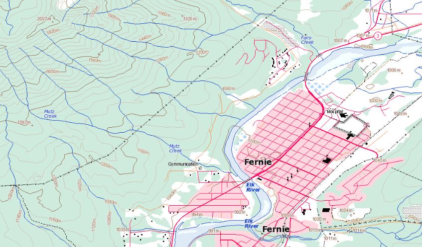
click to enlarge
Here’s what the old ones looked like:
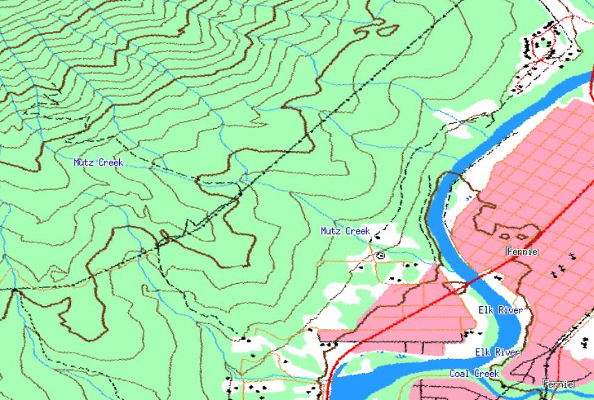
Quite a difference in clarity and added info. Perhaps the best addition is that of elevation labels on the contours (which were absent on the old maps). Check them out by downloading the latest TopoFusion Pro, or for registered users, check your purchase email for download instructions.
For other additions and fixes, see Revision History.


