We just put out a new beta version that features upgraded Topo maps for all of Canada.
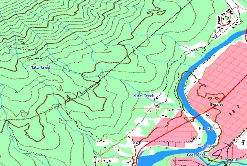
Here's an example. Old version:

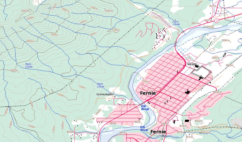
And in the latest version of TF:

Major improvement in clarity, detail and the oft-requested elevation labels on contours! Awesome!
I have considered making the Canadian topos be a new tileset number, so that those with old topos could start anew. Any opinions on this? I think it's pretty clear these maps are superior (let me know if you think otherwise).
The other option is to simply start a new map collection (do this by deleting mapindex.dat and all mapsX.dat files). This way you wouldn't waste the disk space -- changing the tileset wouldn't overwrite the old topo tiles -- they'd just be dead space on your HD.
I'm leaning towards just suggesting people start over if they want to get rid of their old maps. You can also operate with both maps together.
By the way, you can 'try' the new maps easily by simply changing the "Directory for Maps" setting in Options->Preferences->General. If you change that to a new directory you'll start over with no maps downloaded, then you can get fresh CAN topos. Feel free to ask me questions if this isn't clear.
Complete list of changes:
3.73 – [3/11/09] (Beta)
Added improved Canadian Topo maps
Maps are more clear, detailed and up-to-date
Including elevation labels on contour lines!
Fixed bug editing waypoints from the “File Properties” list of waypoints
Fixed erratic map scrolling at high zoom levels (floating point handling)
(Also affected some clipping errors at high zoom levels and other small issues)
Changed maximum number of spline interpolation points from 20 to 30 (for
Video syncing interpolation)