Let’s continue on with the second half of the photo reel. Part one left us at Oakridge, roughly halfway through the loop.
big tree went boom
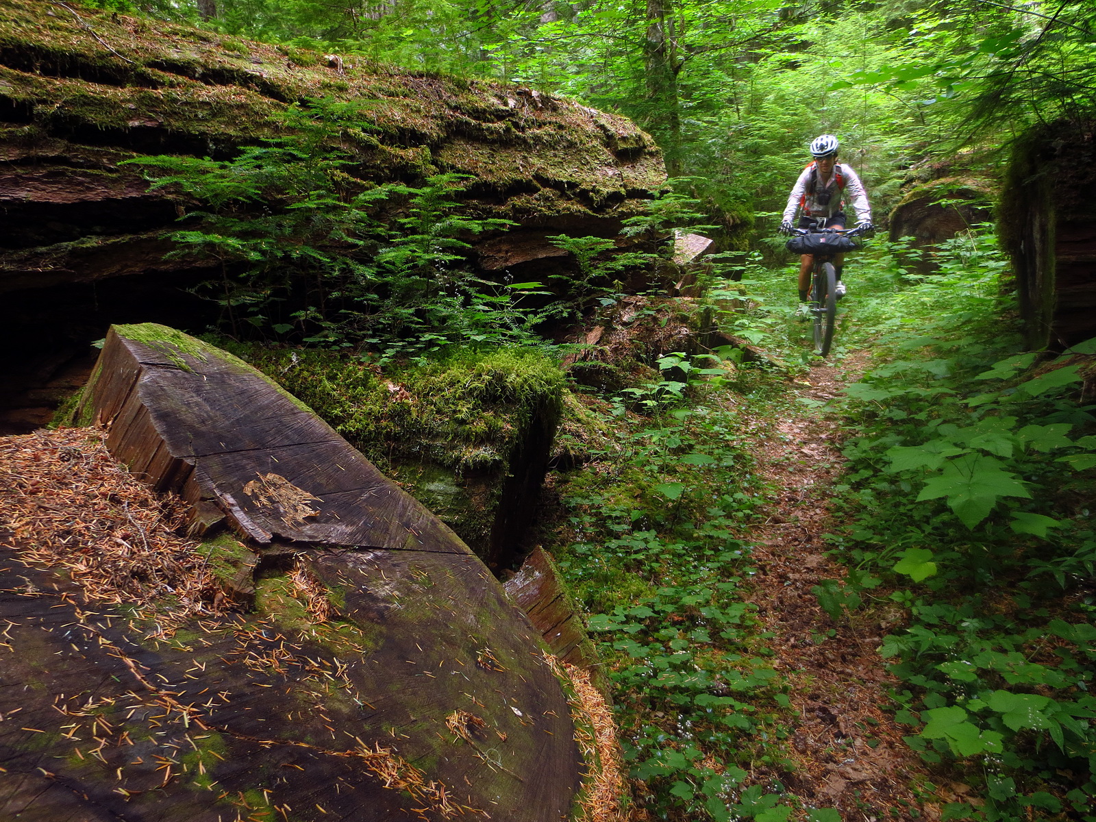
The route hits some deep wooded singletrack, a very pleasant 98 degree ‘warm’ spring, and some roads, leaving town.
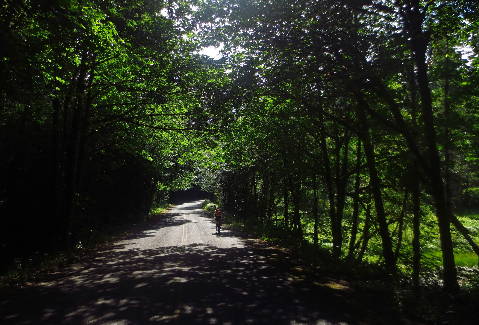
Paved roads aren’t the first choice of bikepackers, but the “Aufderheide” at times feels like a 60 foot wide bike path. As long as a road is devoid of traffic, pavement is good with me. Even better if it’s in beautiful shady woods!
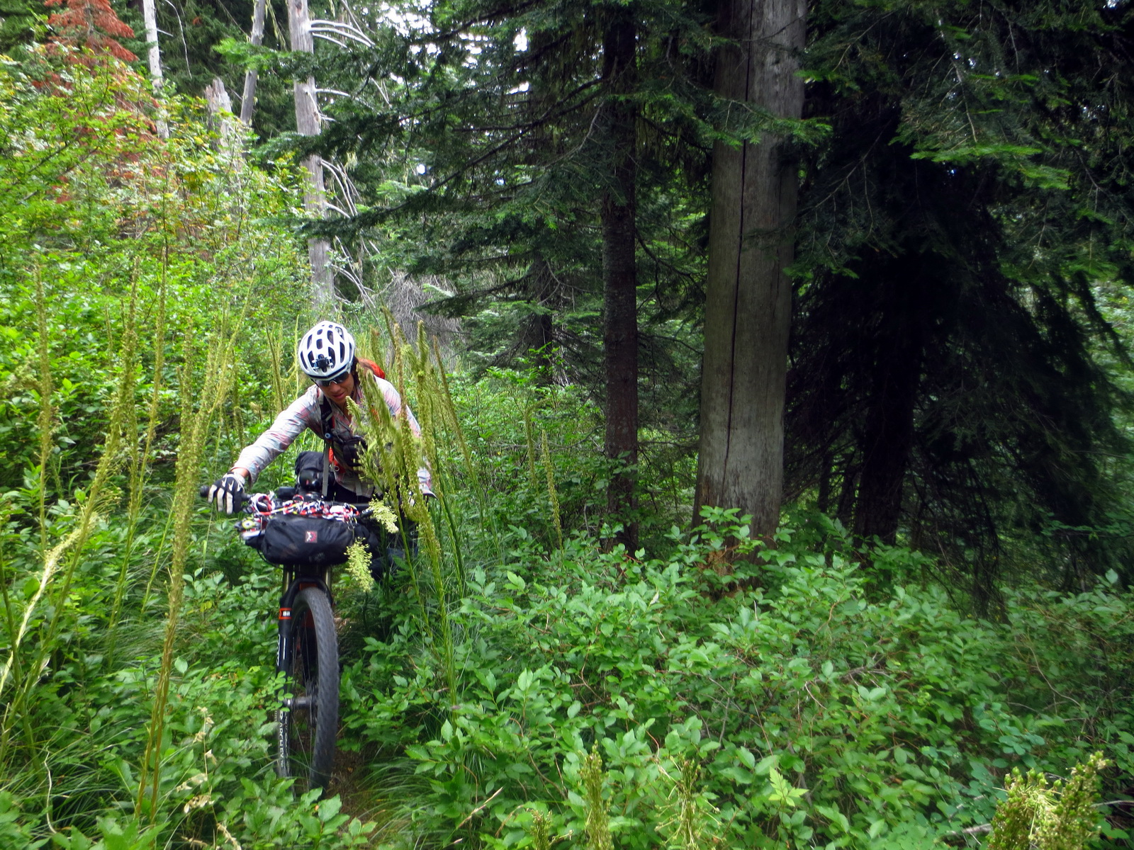
There’s an option for a Wilderness hike to Olallie Lookout, followed by extremely contoured singletrack on the Olallie Trail.

One of the best descents of the trip was on the Olallie trail, conveniently dropping us down to the McKenzie River Trail.
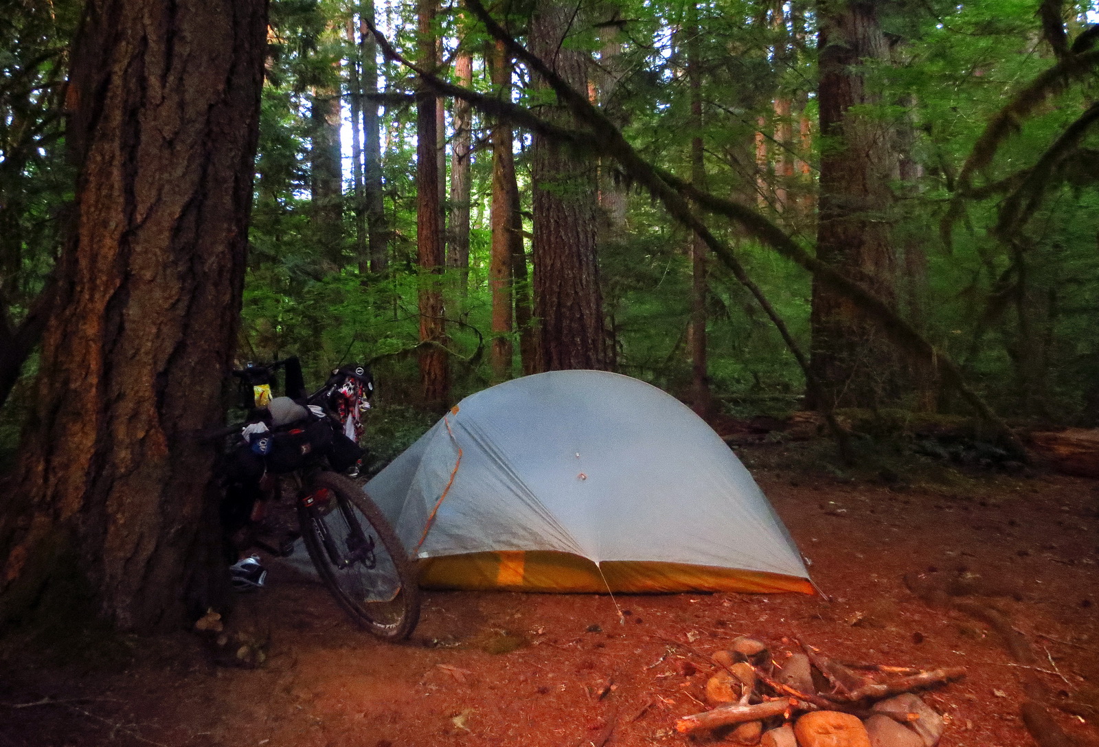
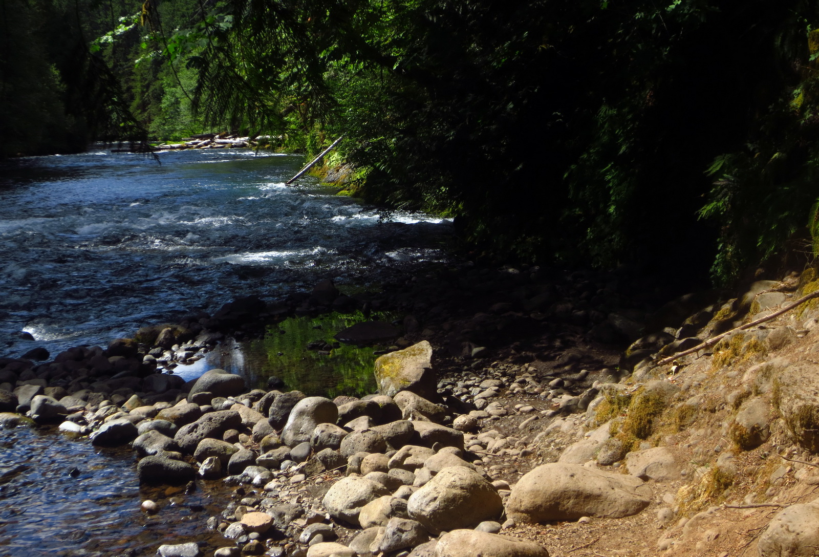
Wild camping along the McKenzie.
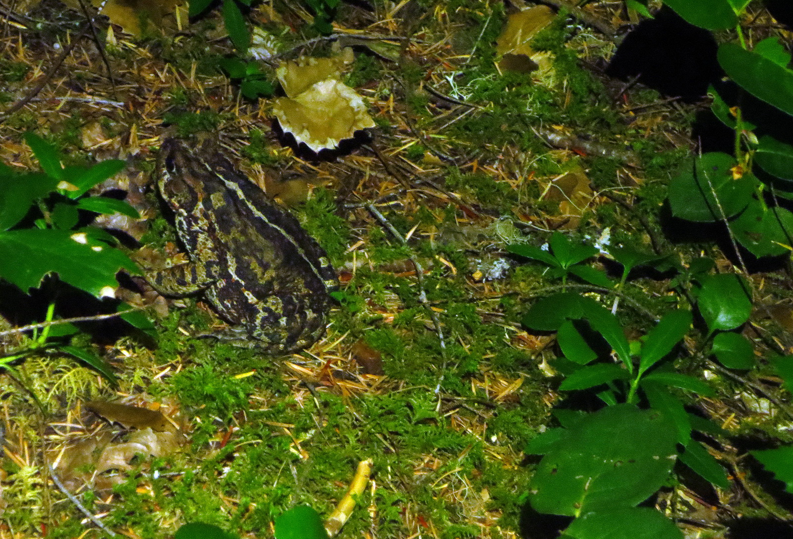
Ribbit! Camp visitor.
A hidden hot spring between the trail and the river. Quite a spot.
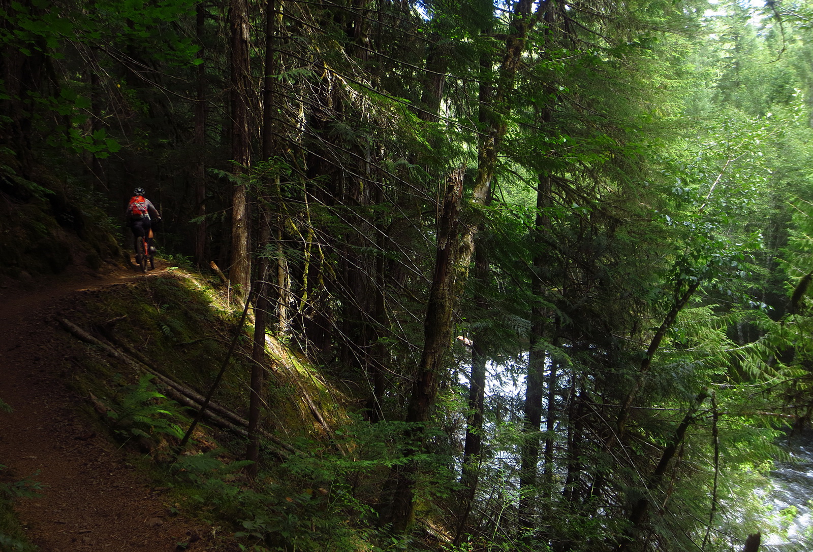
Ah the buffed out and uber-smooth McKenzie River Trail! A true gem, and to some mountain bikers, the #1 trail of all time.
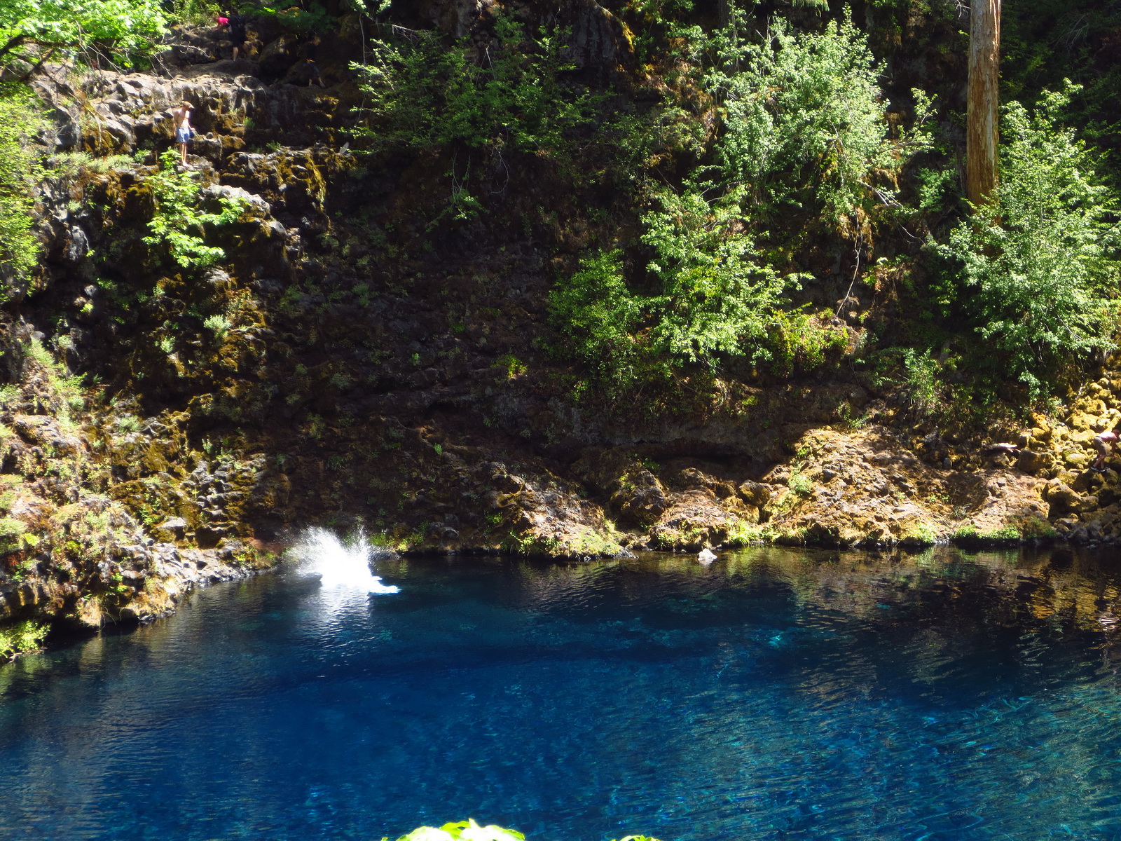
The trail gets chunky around the ‘blue pool.’ Cliff dive in for a quick cool down.
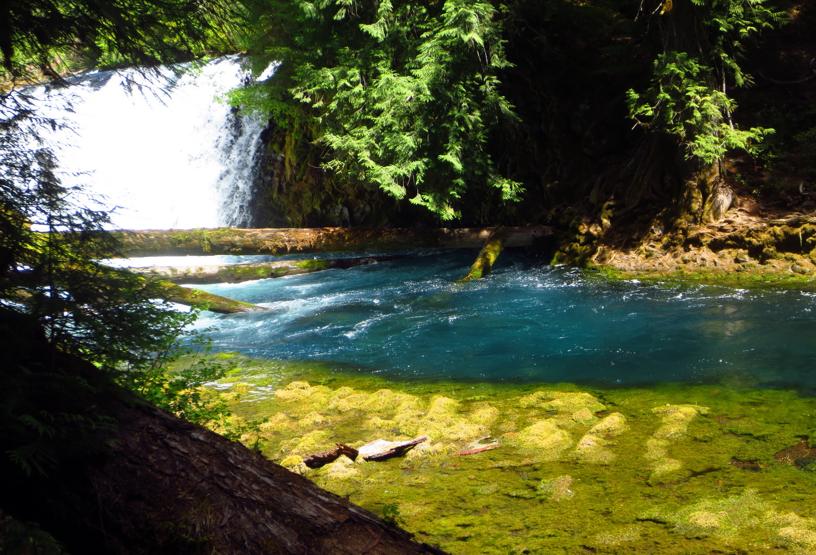
Unreal colors. One of the best parts is the waterfalls you get to explore as you climb up.

The trail lets you explore the bottom, middle and very top of some of the falls, getting close enough to reach out and touch the water.

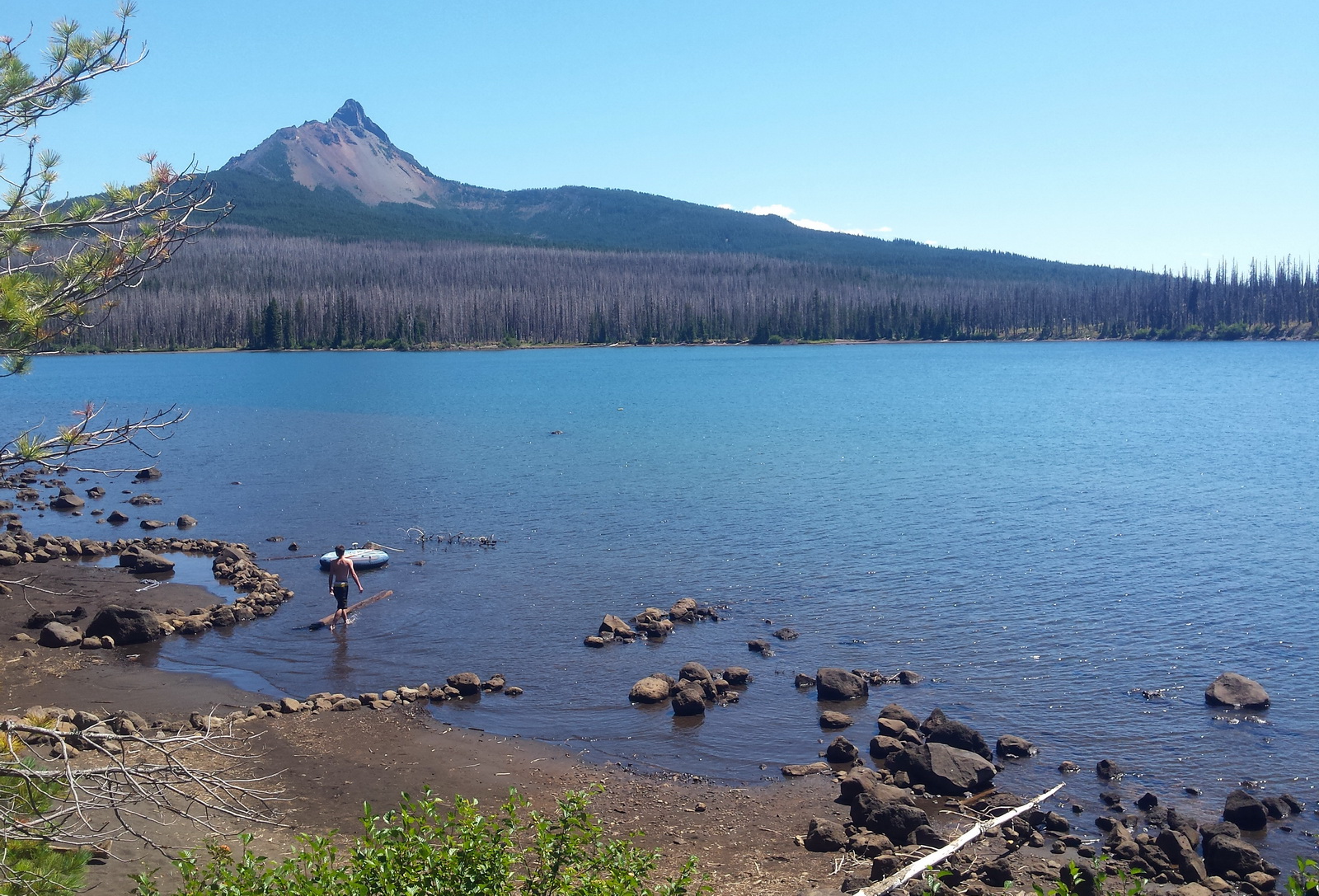
A tad bit of chunk on route to Clear Lake.
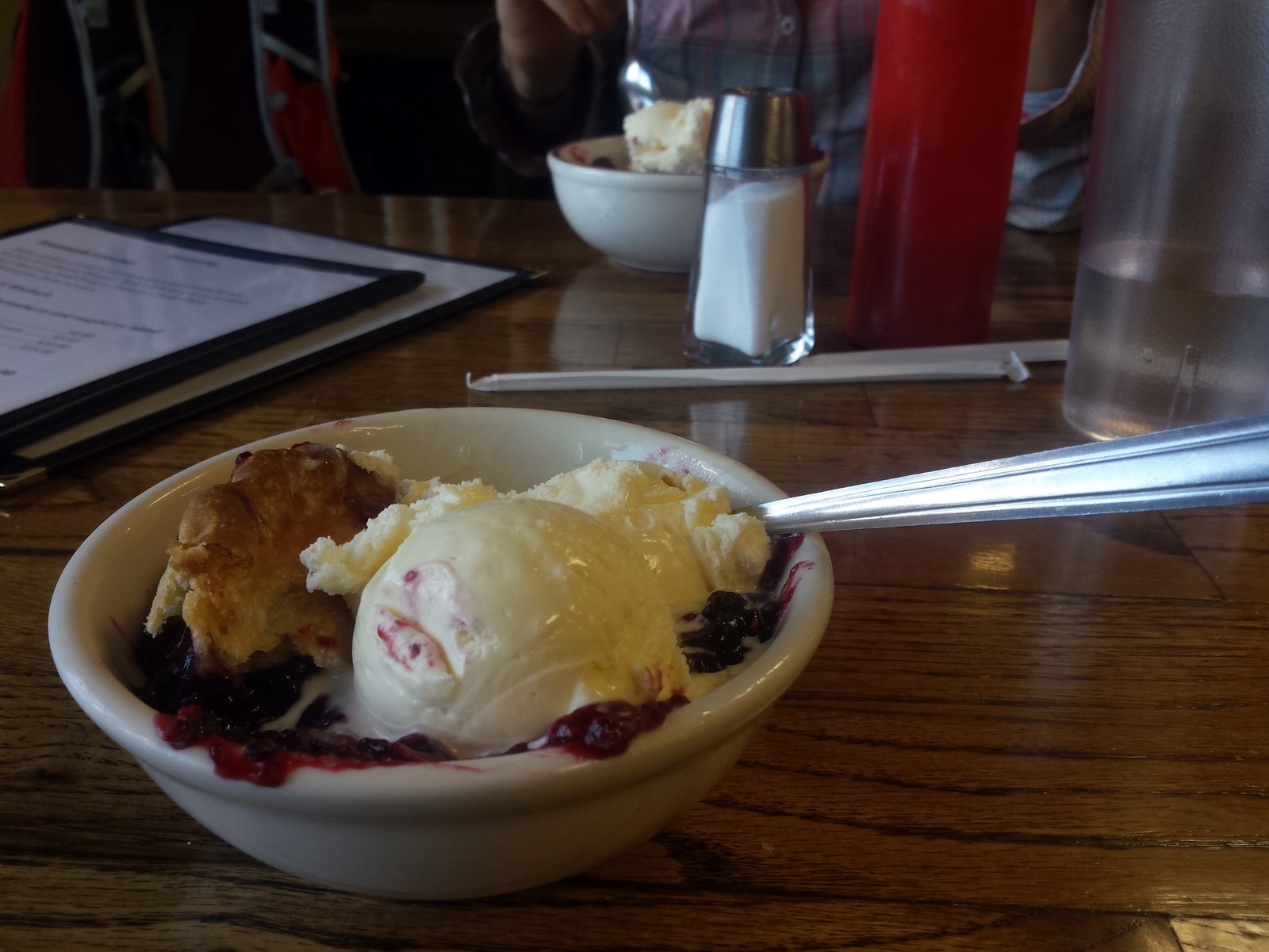
Pie! Clear Lake has good food, but minuscule resupply.
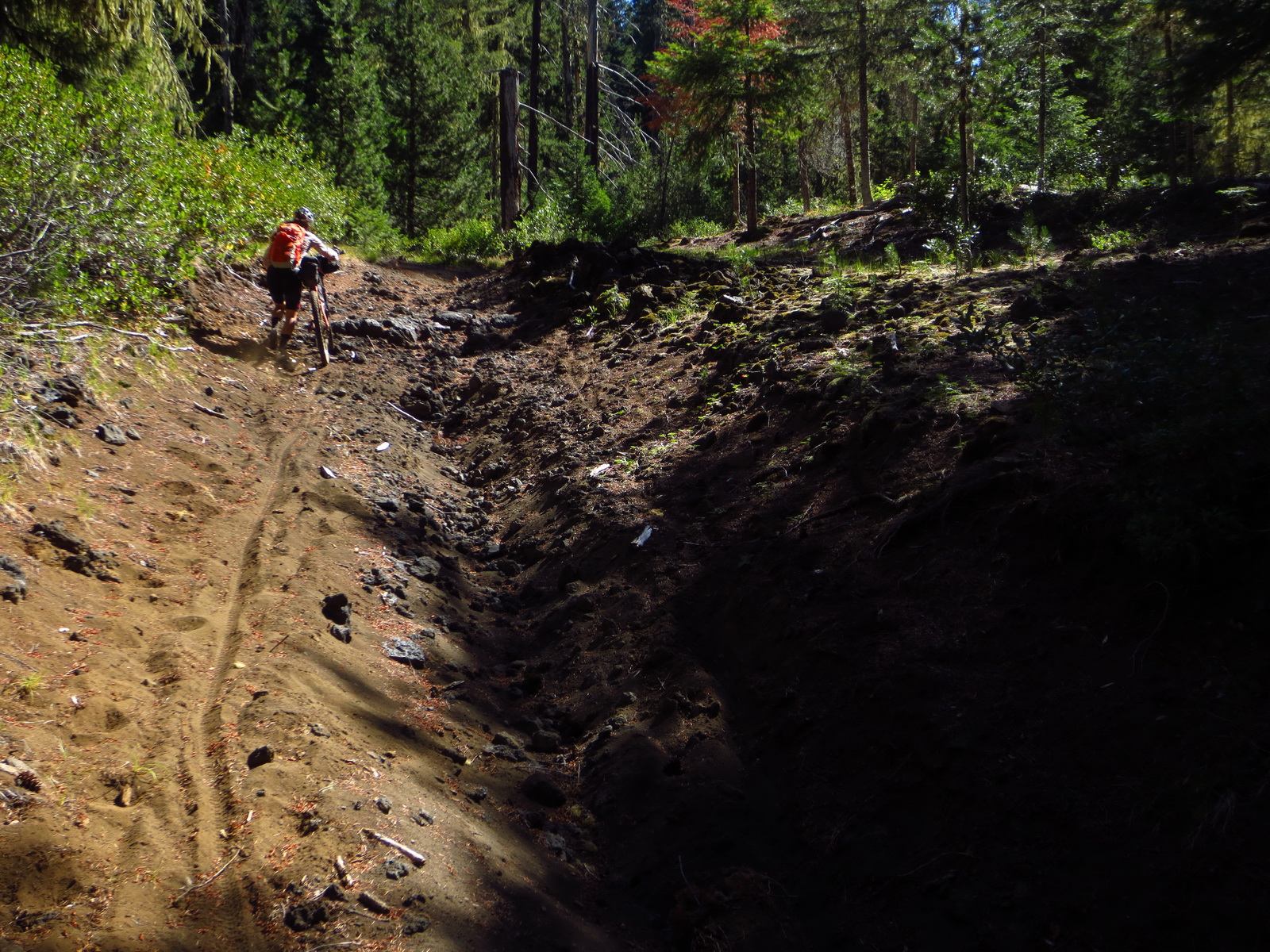
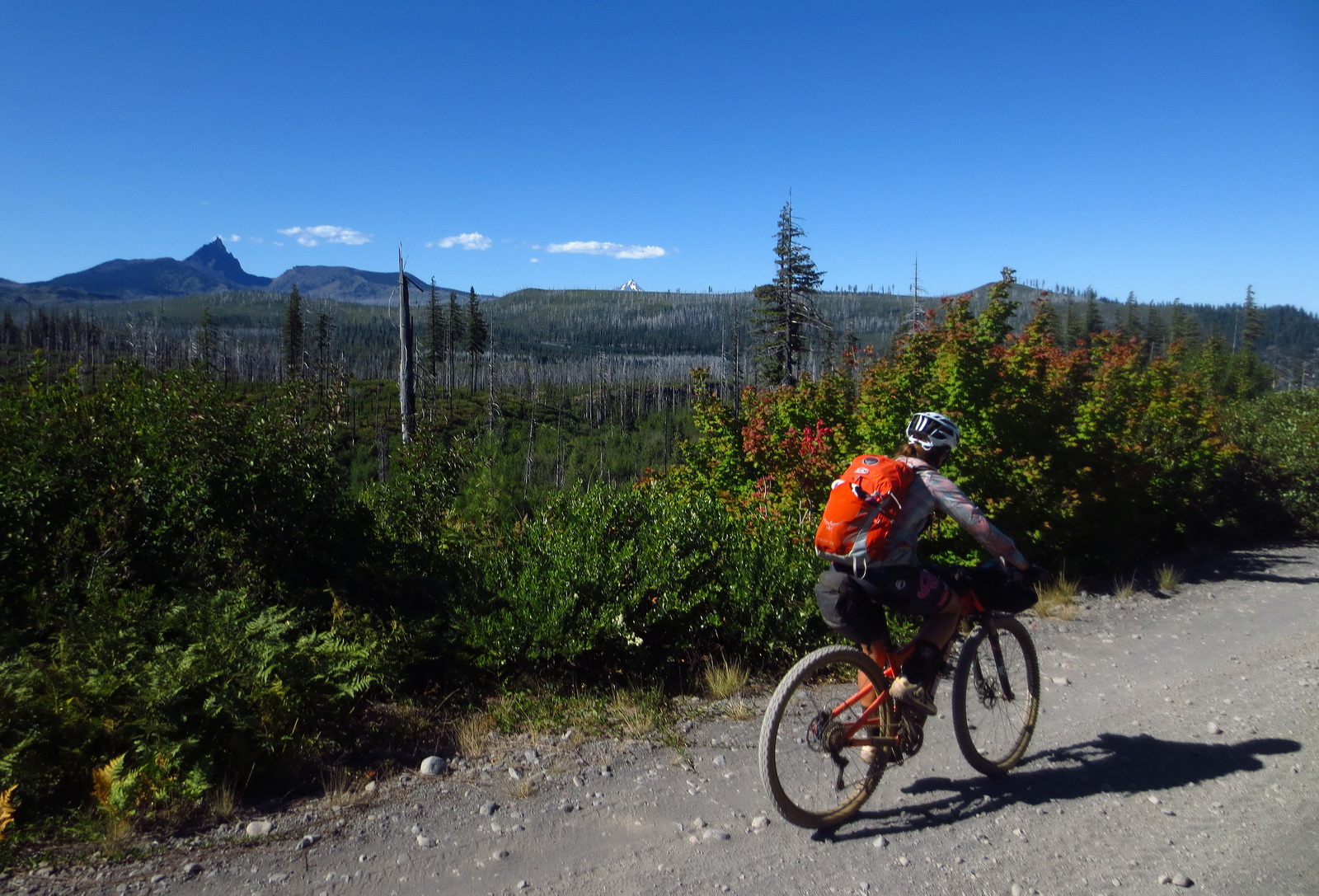
We knew it would eventually come. Extended hike-a-bike on the Santiam Wagon “Trail”.

The deepness of the sand is astounding for still being in a forest environment. It doesn’t matter how fat your tires are, you will walk. You may even walk flat sections of road.
There is a paved alternate for those wishing to skip a couple hours of hike-a-bike-y terrain, the only significant hiking on the route.
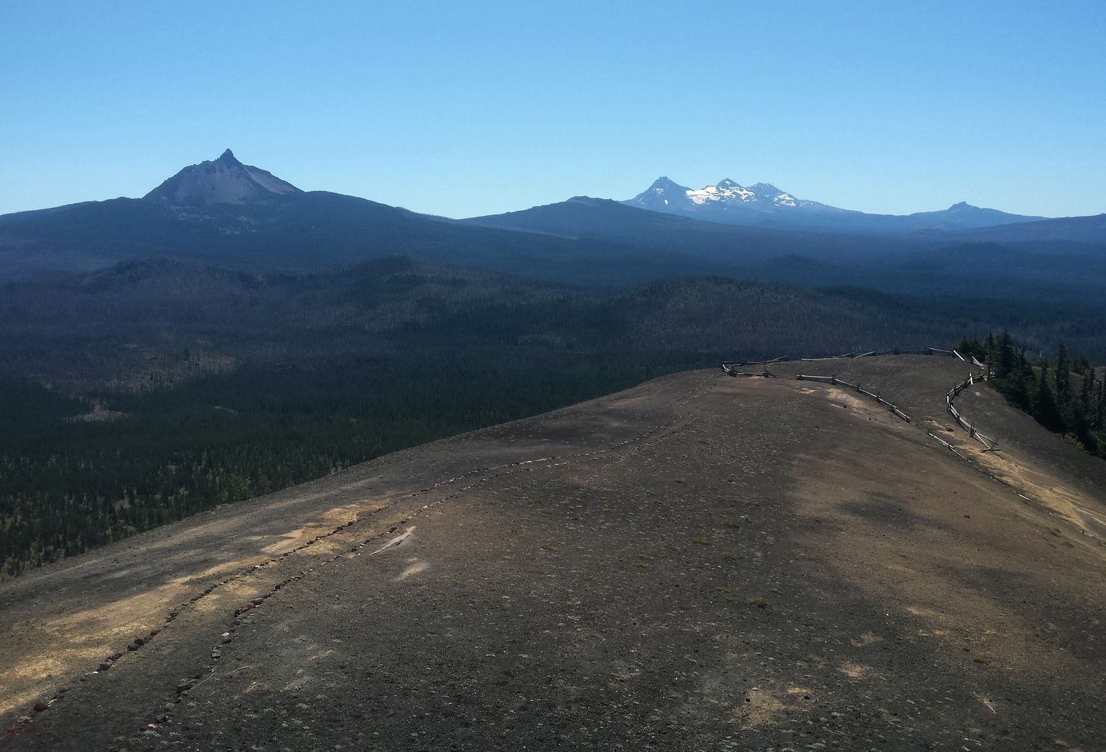
The side trip to Sand Mtn Lookout (combo ride and short hike up) is highly recommended for a commanding view.
Jump in Big Lake to cool down and wash the dust off!
Eventually the road surfaces do improve, near Cache Mountain.
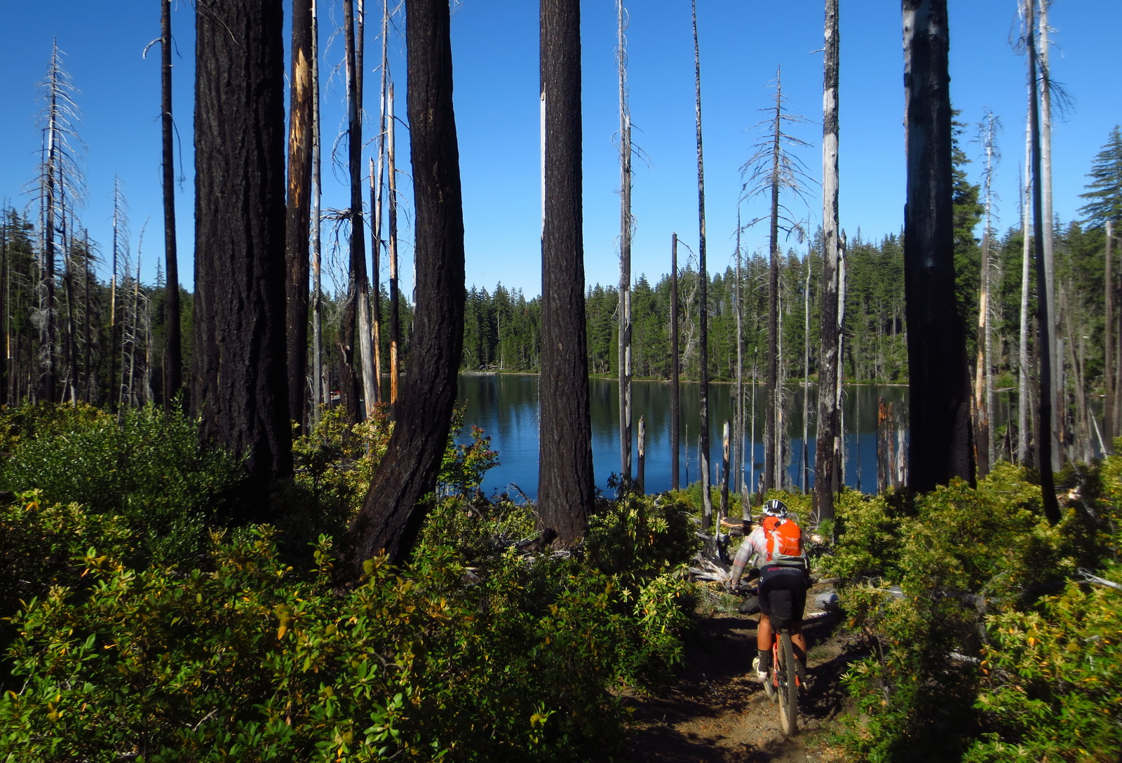
And the route improves further to downhill singletrack passing Dark, Scout and Suttle Lakes. Wooohoo!
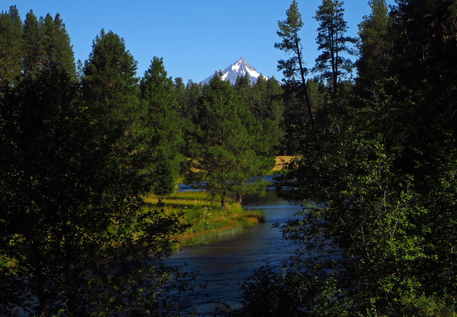
The source of the Metolious River is just off route. Have you ever seen an entire river spring from the ground?
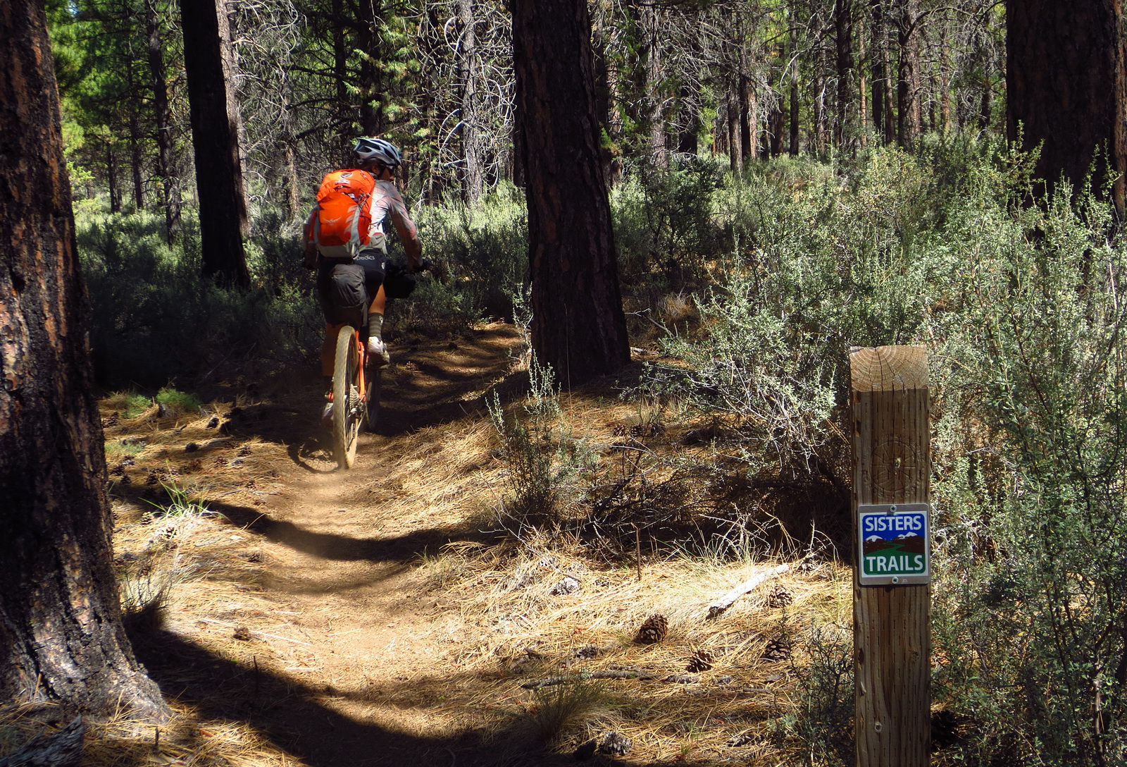
After Black Butte the route rolls into Mountain Bike ‘controlled’ territory with super mellow trails, well signed and maintained by the local trail organizations.
Superb conversion of 2-track to mountain bike trail, presumably by Sisters Trails. Weeeeeee!

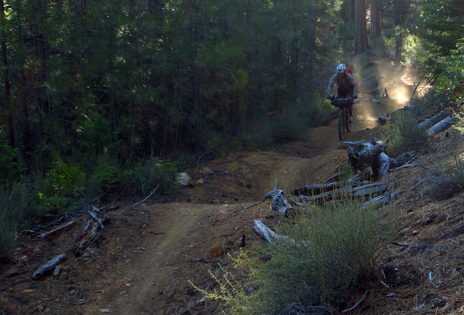
Climbing on the Metolious Windigo Trail.
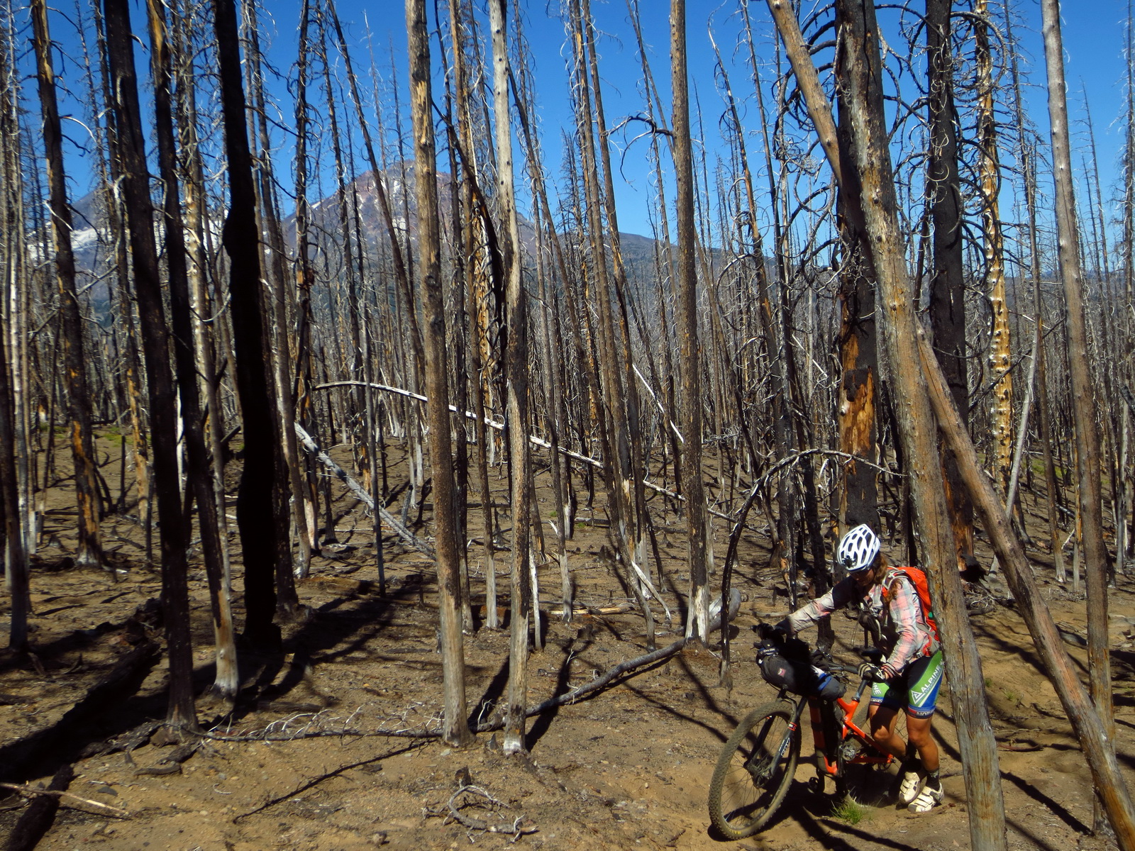
The burn has opened up some big views, but also means soft soil and some hiking. A parallel dirt road is there for those wishing to stay clipped to the pedals.

Getting up close and personal with the Three Sisters.
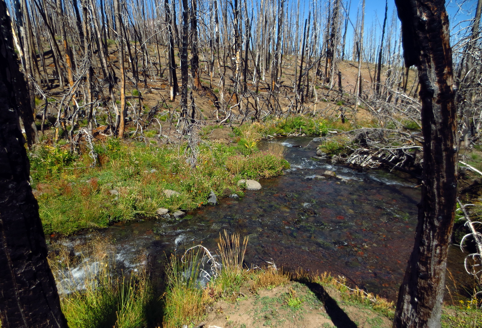
The burn area is hot, but the water is freezing cold. Try keeping your hands under water in this glacially fed and wholly glorious creek.
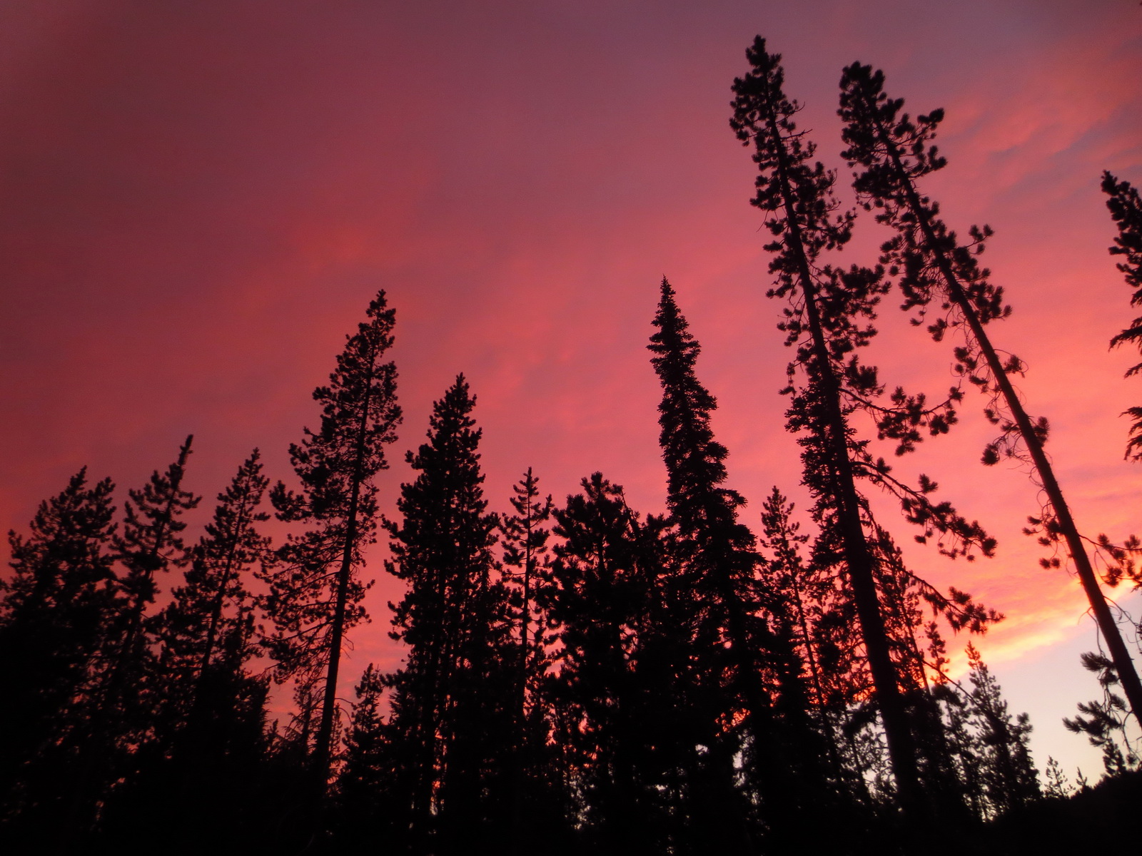
Cascade Sunset.

combo full moon rising and red sunset falling…. magic
Free camping for hikers/bikers at the base of South Sister.
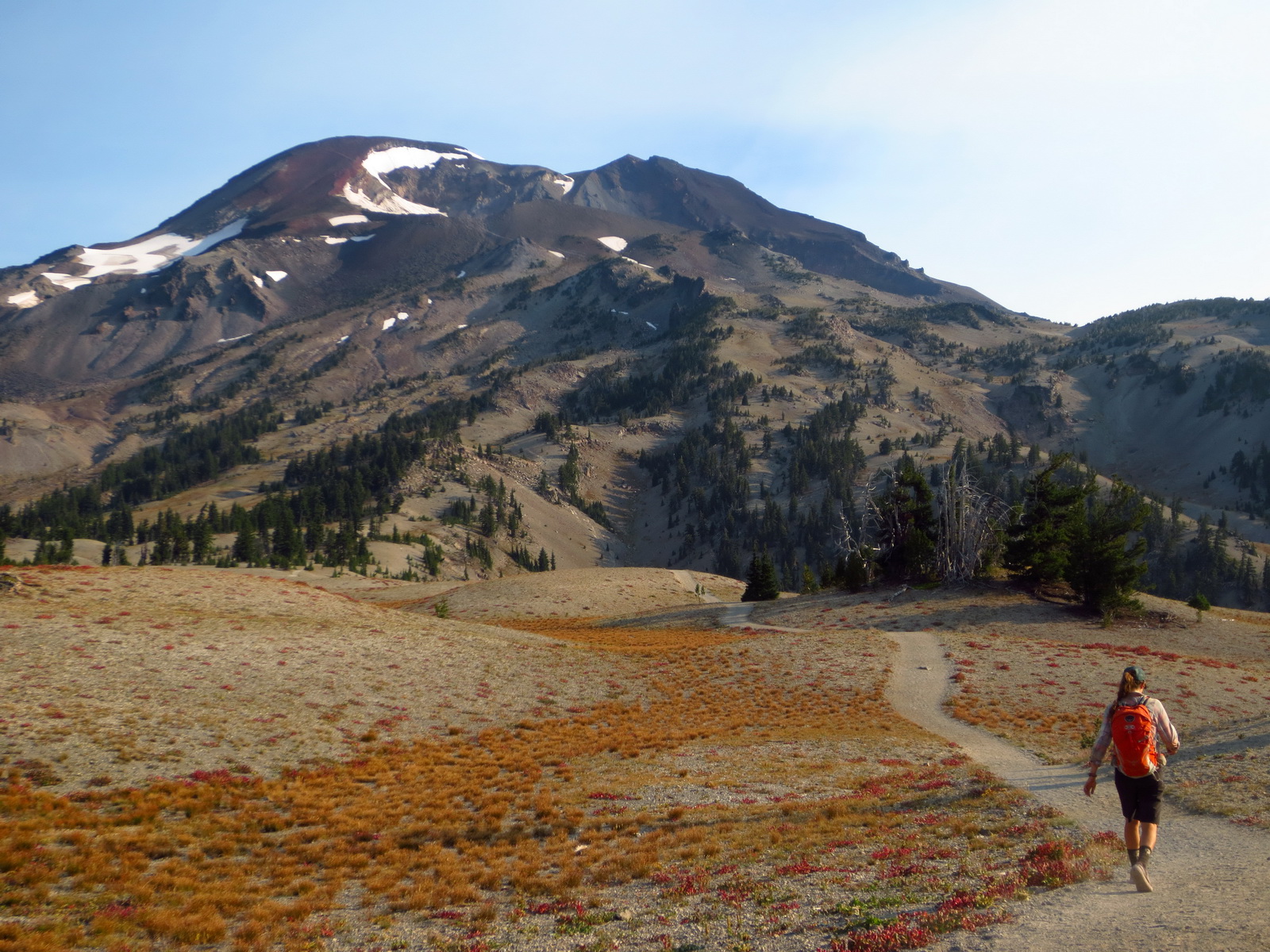
A spur off the main loop allows for the ‘grand finale’ of the Hot Sisters Loop — climbing a volcano!
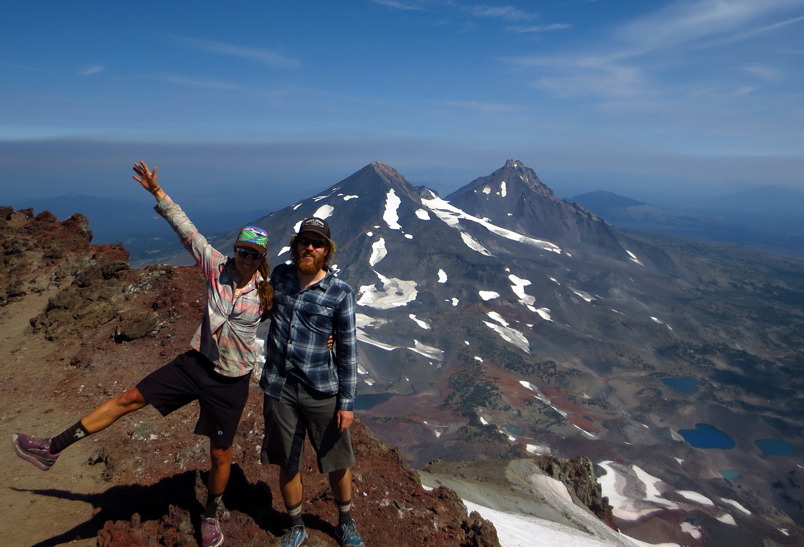
The summit!

Not a long hike, but steep!

And finally, the bike finale to the loop: endless buffed out descending on Mrazek Trail, rolling back into Bend in style.

Nice set of photos! This might be part of my next summer…