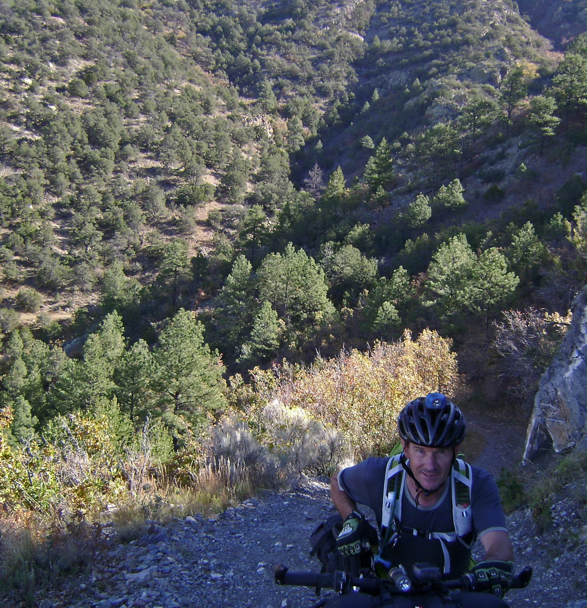
It started with an early morning punch in the face: 3k of vert in about 6 miles. Rideable? Yeah, save a few rocky pitches. Did it feel good? Not really. Maybe for Lee – he’s lightened his kit, dropped the rack and been training for this trip.
It showed. He stayed ahead as we clawed our way to crest of the Magdalena Mountains.
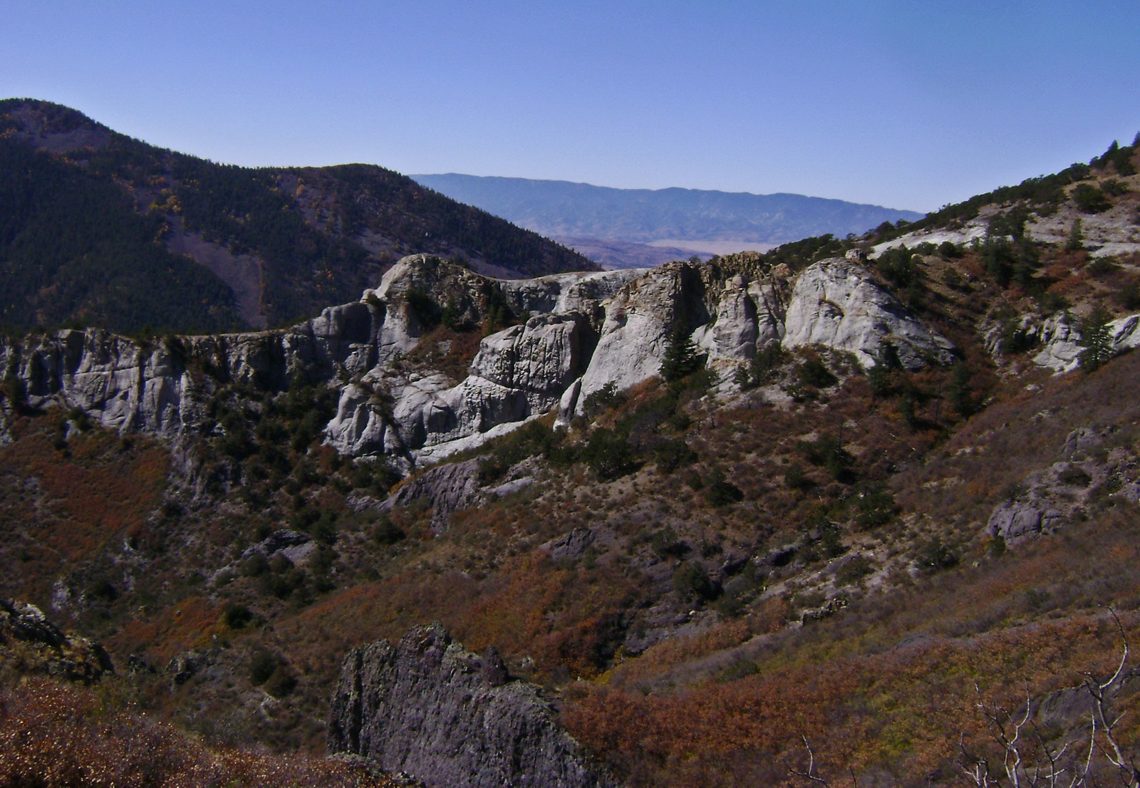
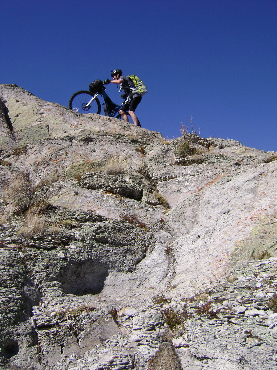
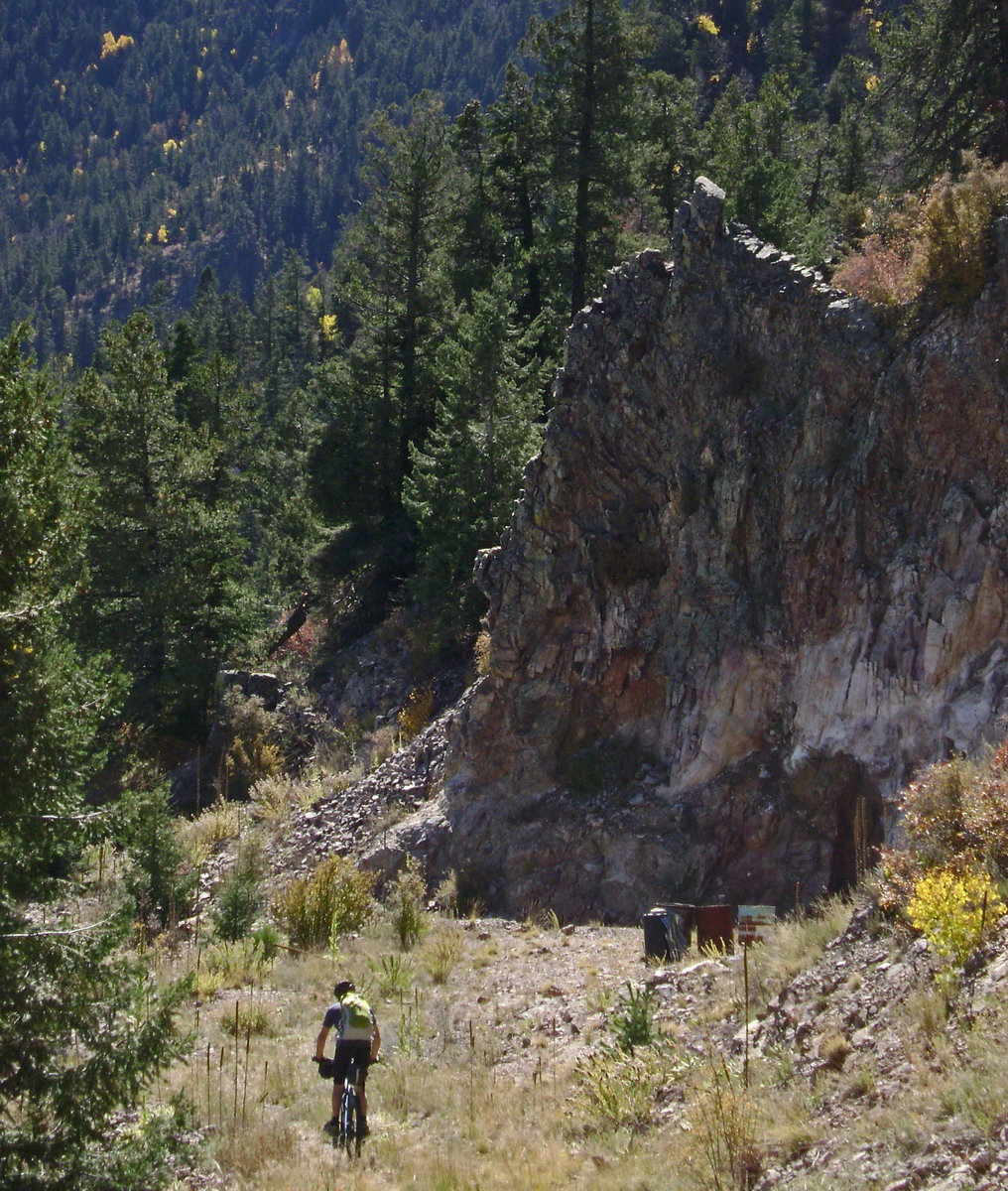
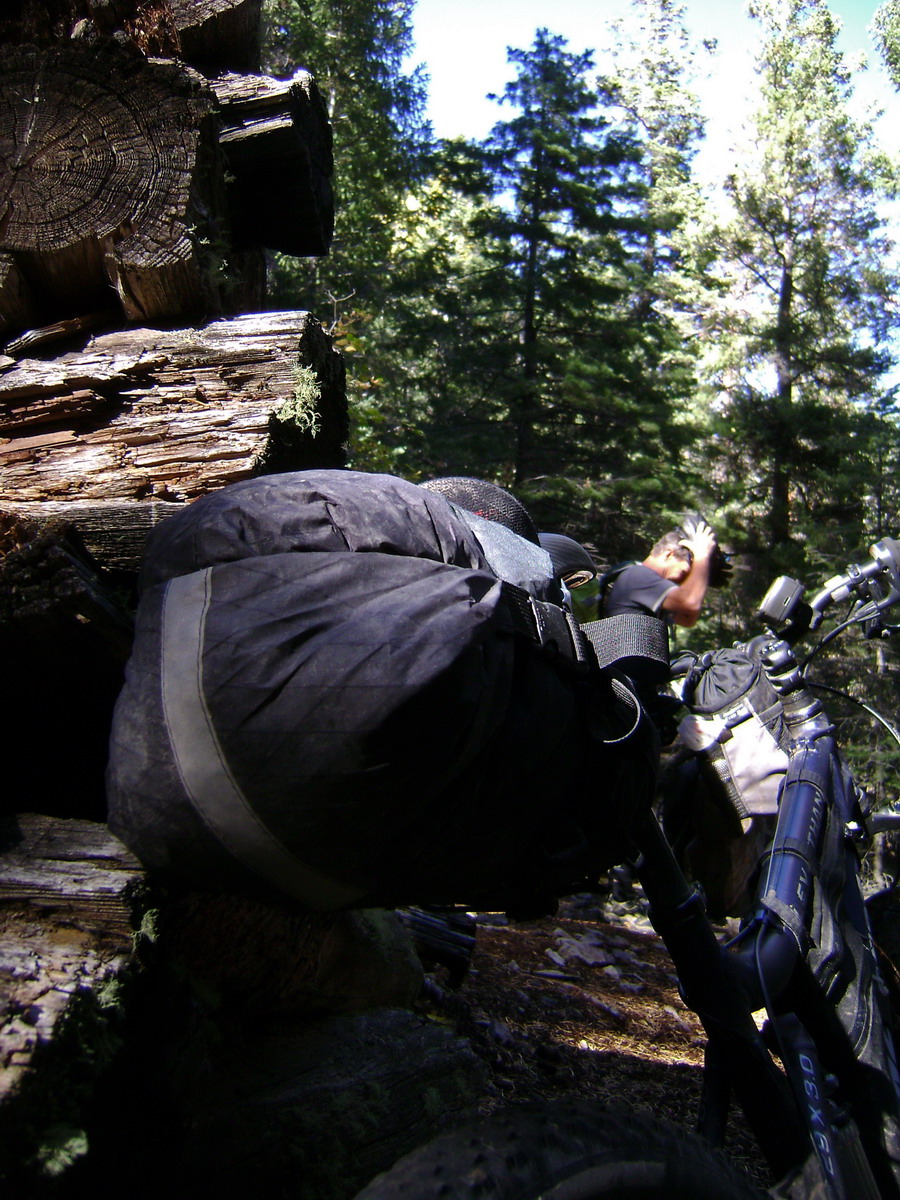
The road ends here. No coincidence — I wondered how our trail was going to traverse that ridge.
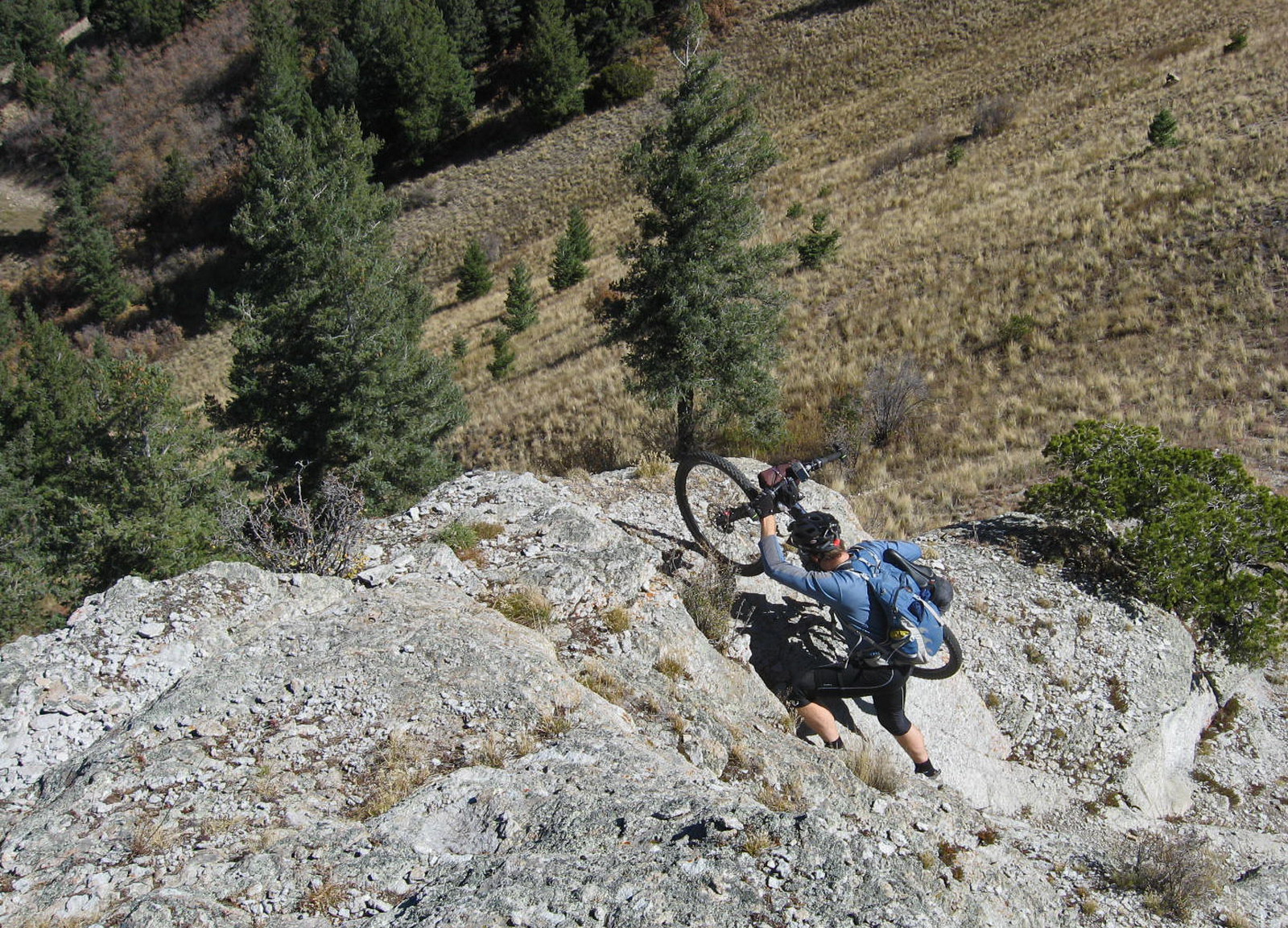
Climb-a-bike, of course.
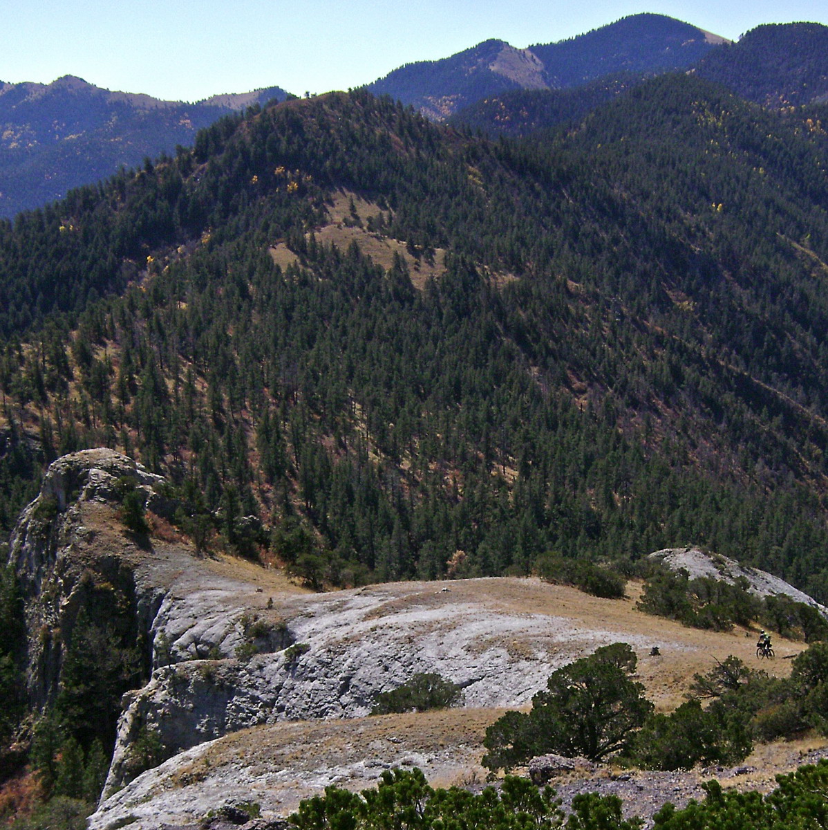
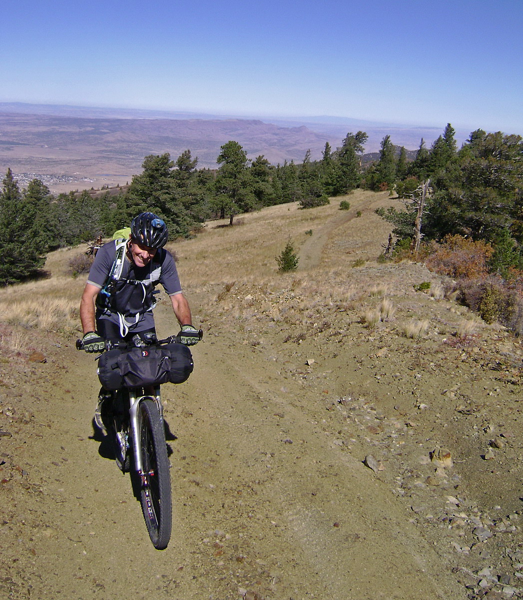
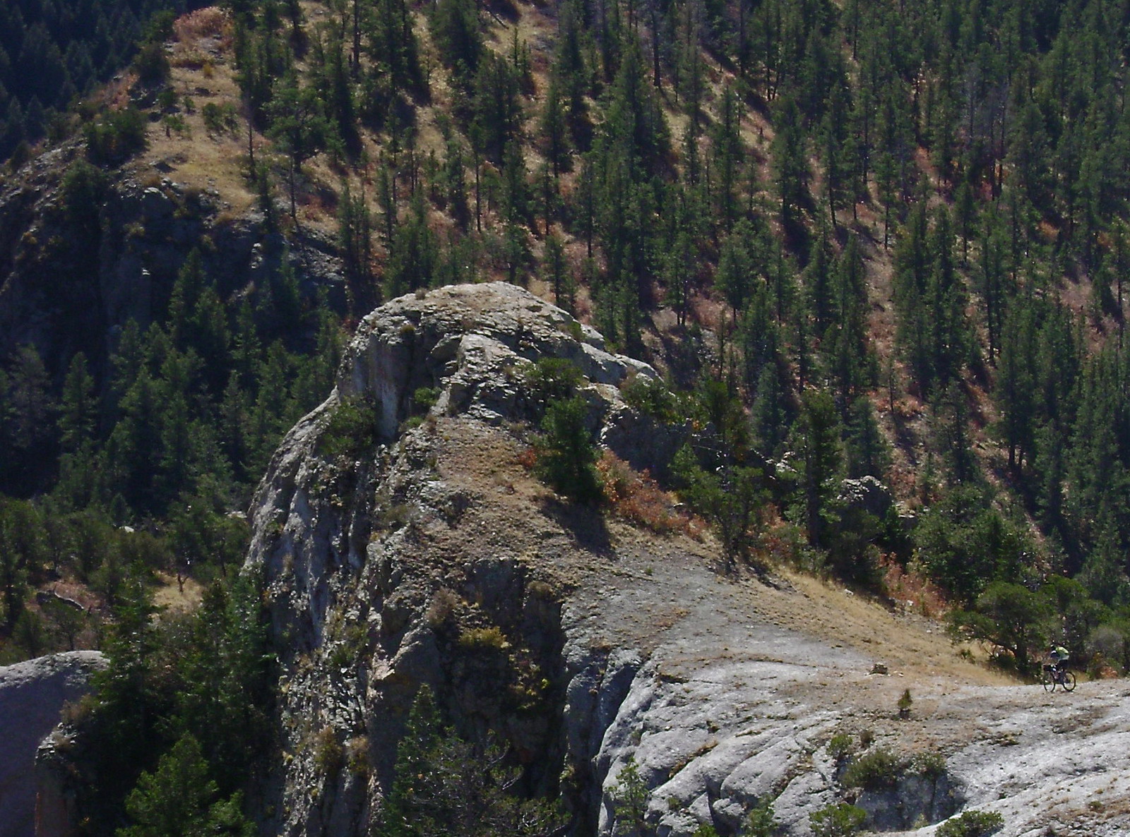
That, and incredible ridgeline riding.
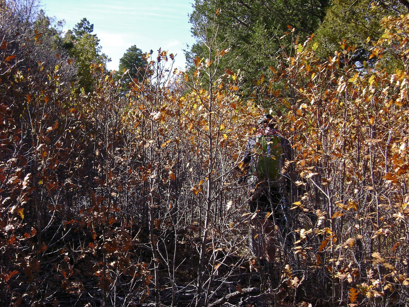
The trail had a bit of everything to throw at us: contour, thick oaks,
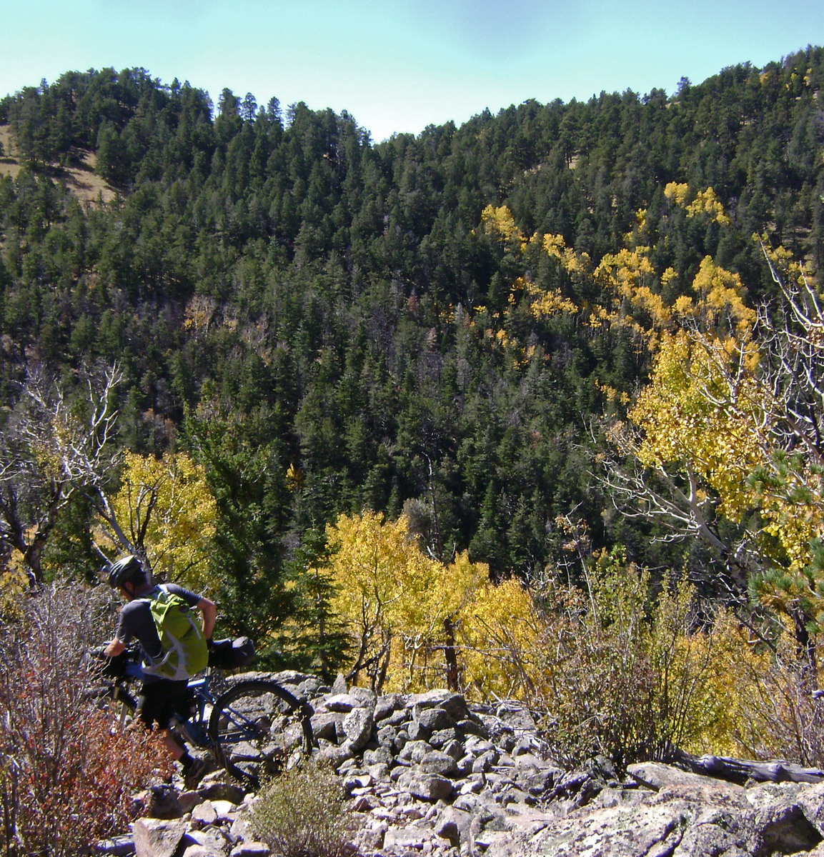
impossible rocks (I walked downhill), gold aspens. We live for this kind of thing.
We dropped off the ridge, in search of trail #10.
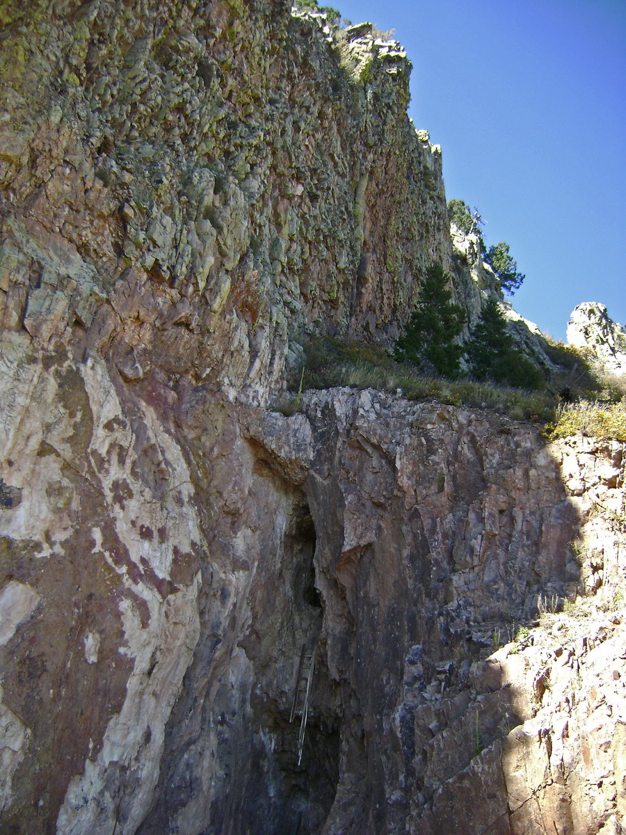
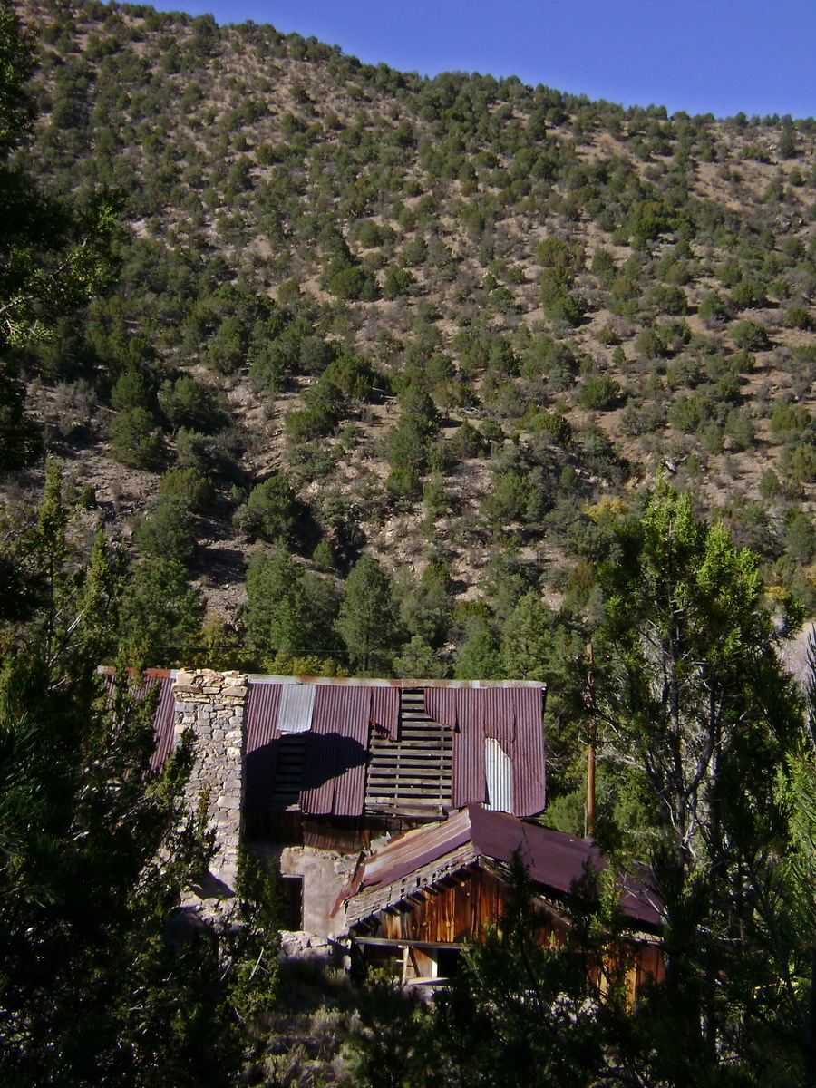
But were stopped dead at this mine (look for the old ladder). Walking back up the mountain a small cairn indicated trail dropping steeply.
I took a half dozen turns before losing it completely. We decided to regain the crest trail and search for the “other” trail #10.
Good choice. The next two miles of ST were a bikepacker’s dream, beautifully contoured, somewhat techy, and filled with big views.

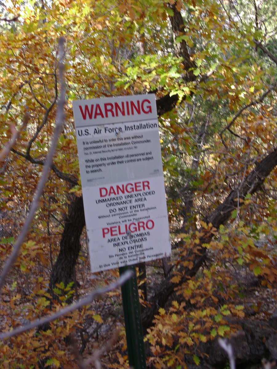
BOOM! Diamond mining, military testing, university training — no one could say for sure. But we heard/felt two blasts and saw the plumes of dust across the valley. Socorro has some strange things going on out in the desert…
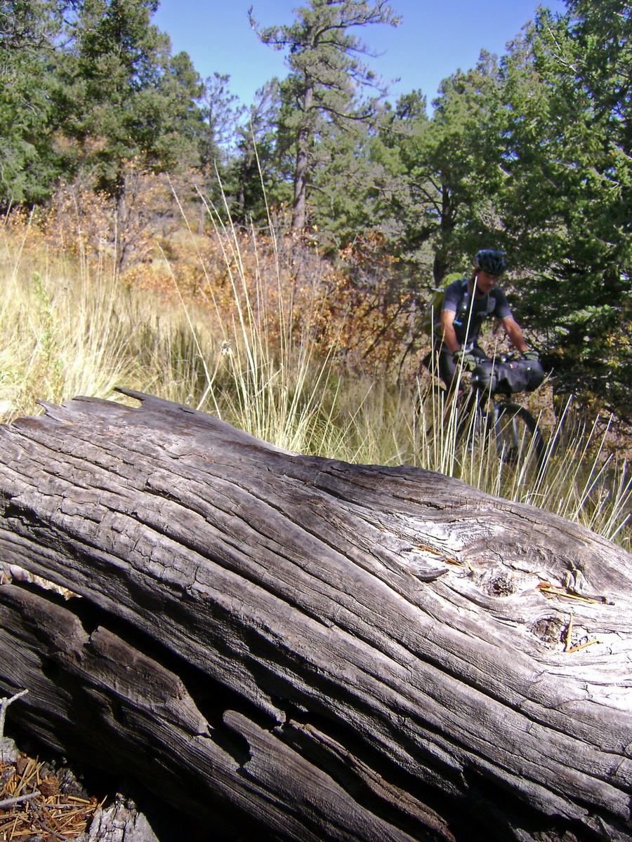
Us desert dwellers have to soak up as much fall color as we can. We found the other trail #10 and it looked much more used. The first mile was frustratingly steep. We walked down too much, especially through the steep/tight switchbacks.
I’m usually game for a hop or two to get around switchies, but these were over my limit, maybe because of the “loaded” bike.
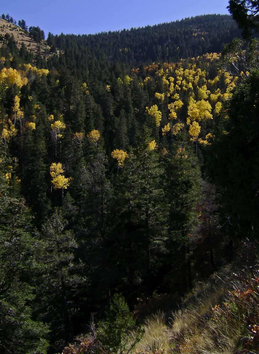
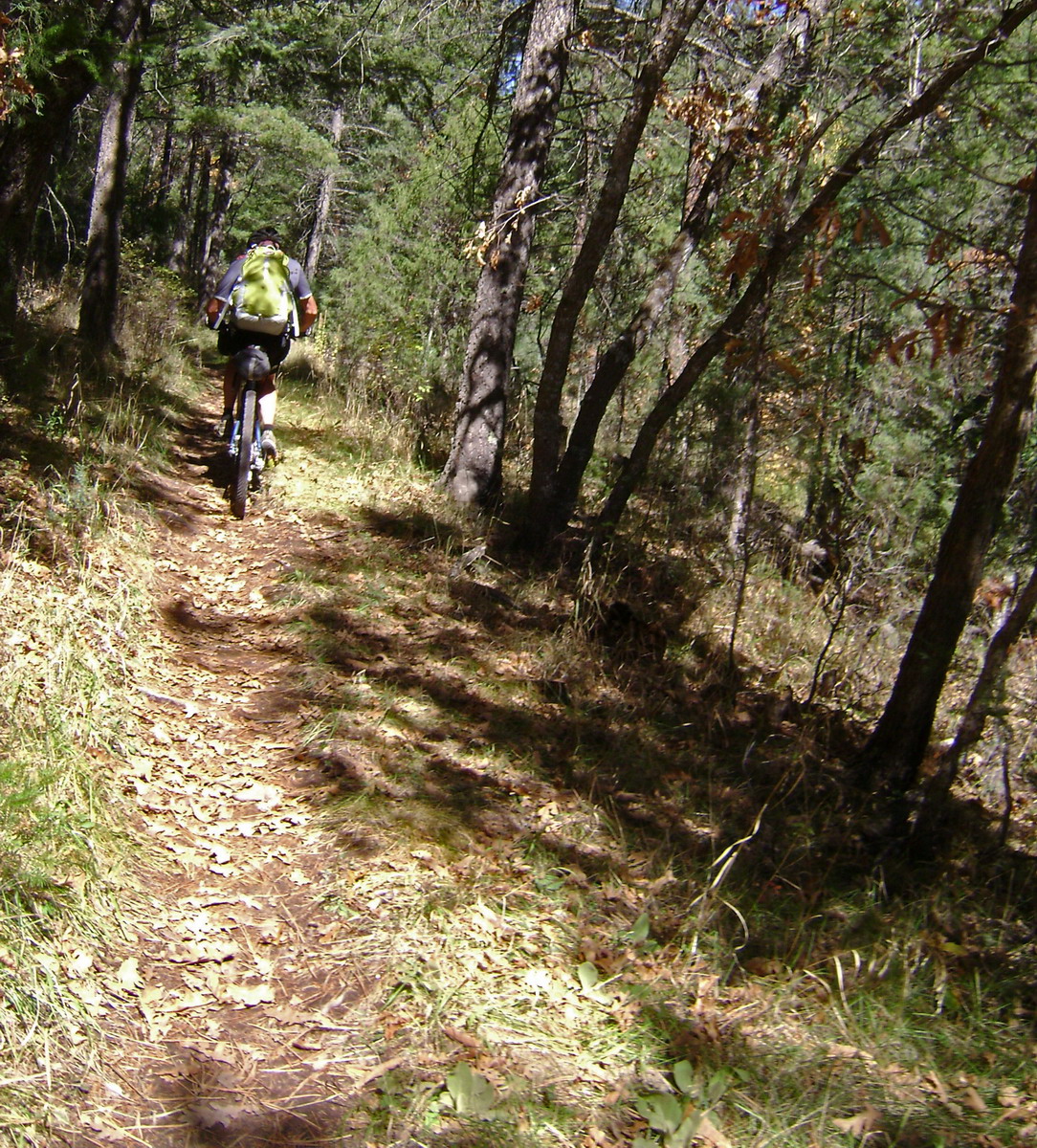
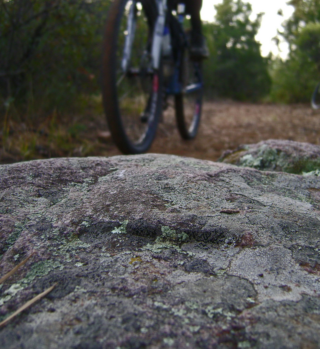
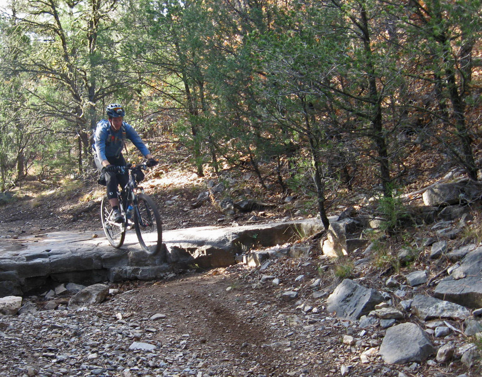
Afterwards, the trail exceeded all expectations.
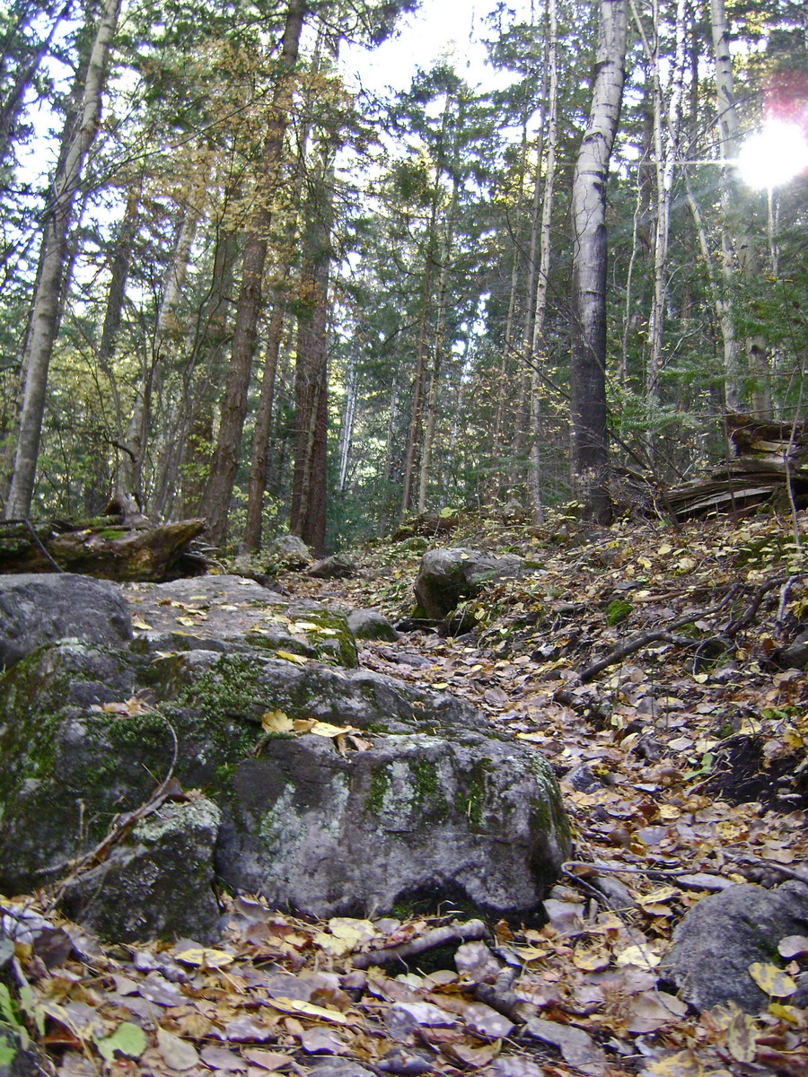
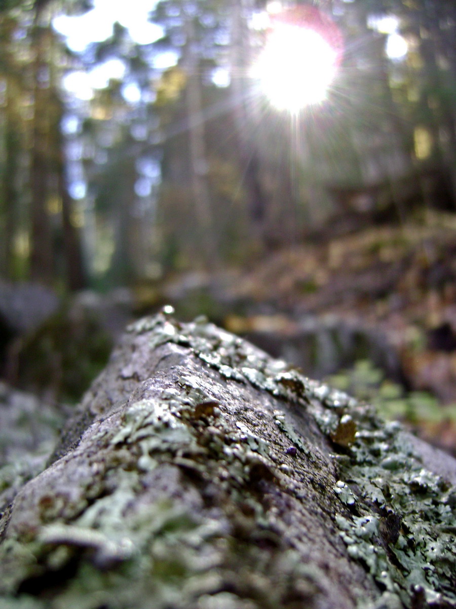
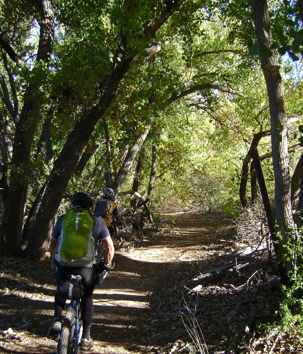
A wonderfully deciduous canyon, replete with a running stream, thick carpets of leaves, moss and lichen, fall color, not to mention technical problems and flowing trail.
The trail got faster and more open as we neared the inevitable forest road, heading down Water Canyon.
We weren’t on it long before turning to little used 2-tracks.
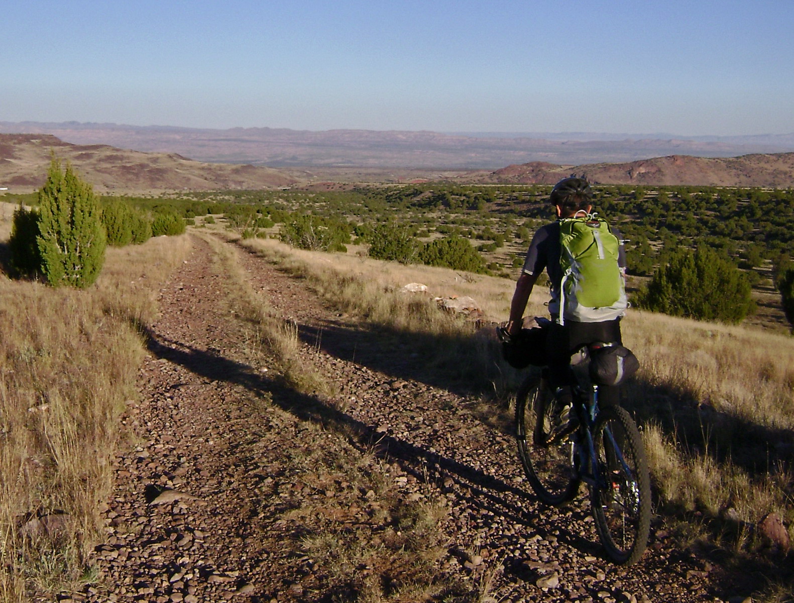
This has become a pattern on the GET. Descend grin inducing trail out of the mountains, then absorb the experience while gently cruising 2-tracks and watching the moving scenery and waning light.
It’s a pattern I could get used to.
We followed our noses to a mexican restaurant in Socorro, where local cyclist Mark (Alizhan on mtbr) was kind enough to join us. Mark was instrumental in helping us determine the GET-bike route we had just followed.
He also hooked us up with Karl from Spoke-n-Word Cycles (the only bike shop on the entire GET route!), who offered to be our guide the next morning. He got us onto singletrack right out of town — the Rio Grande Bosque Trail.
Great way to start the day’s ride.
Not-so-great were the 14 goat heads I picked up in my rear tire. I had to air up a few times, but eventually the tire held.
Karl turned around at the top of Johnson Hill road. The guy is a fountain of knowledge about the area, history and mountain biking in general.
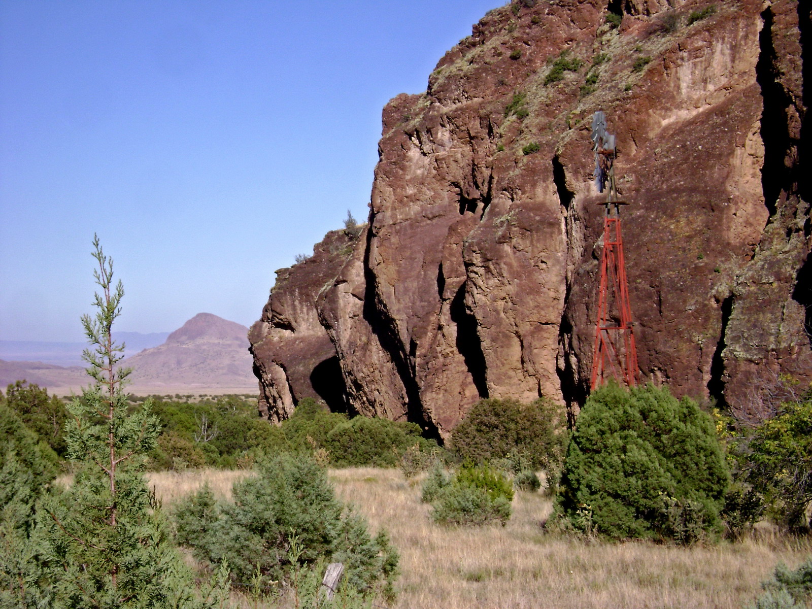
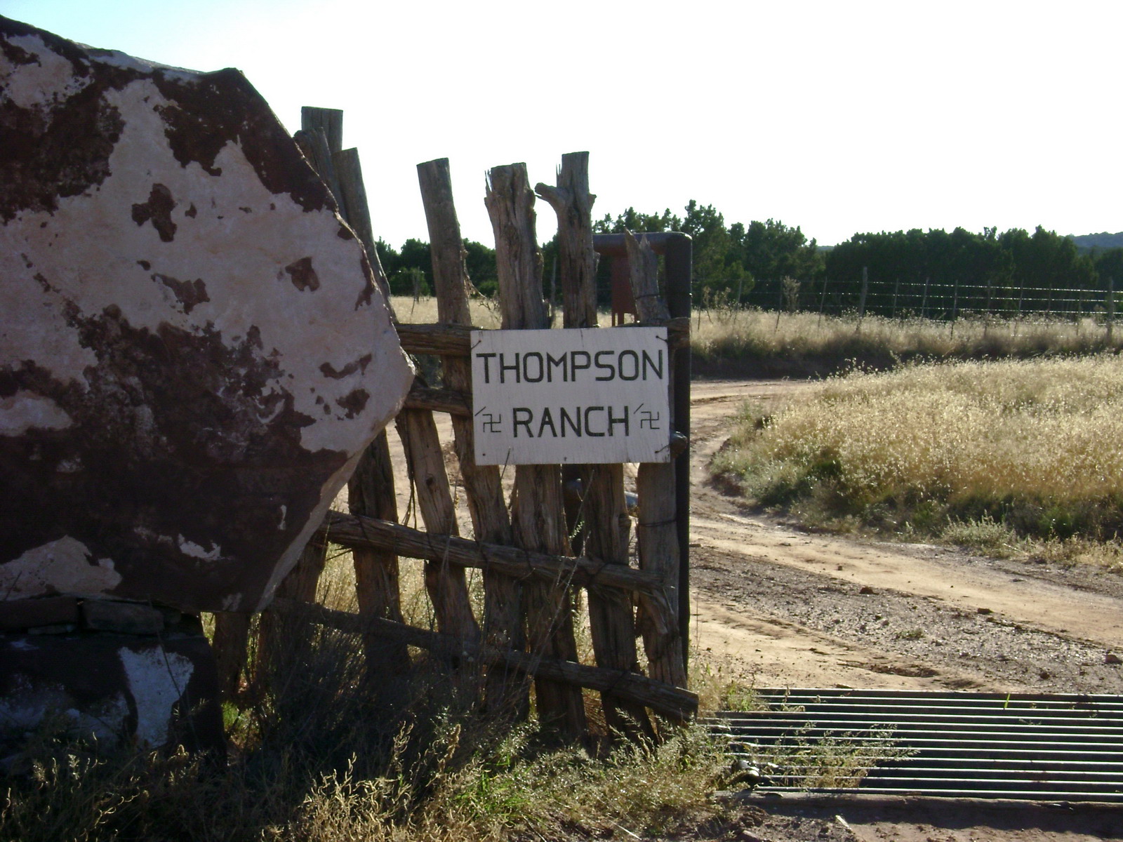
We followed deserted 2-tracks across the Valle del Ojo del la Parida, past abandoned ranches, sometimes sporting working wind mills.
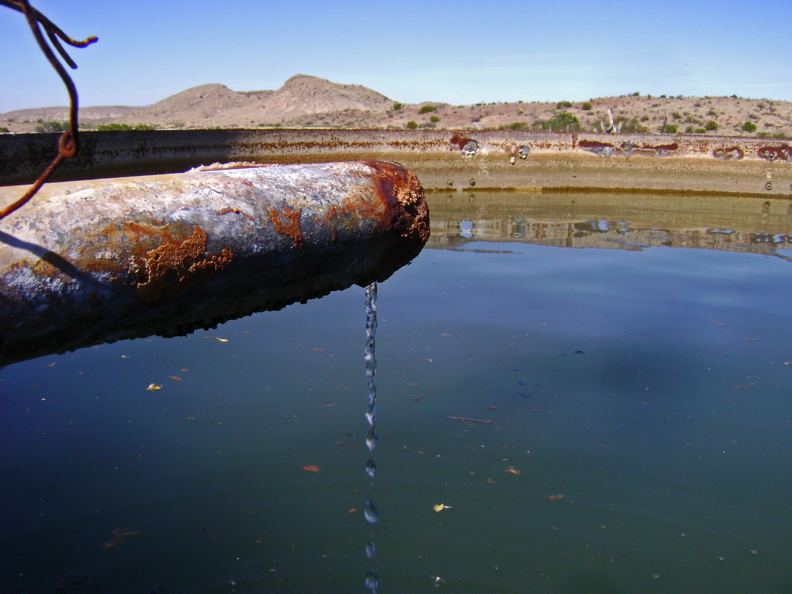
Our GPS line told us to continue straight from this tank, and sure enough a tiny trail took us into an arroyo. XC drainage travel is one of the hallmarks of the GET.
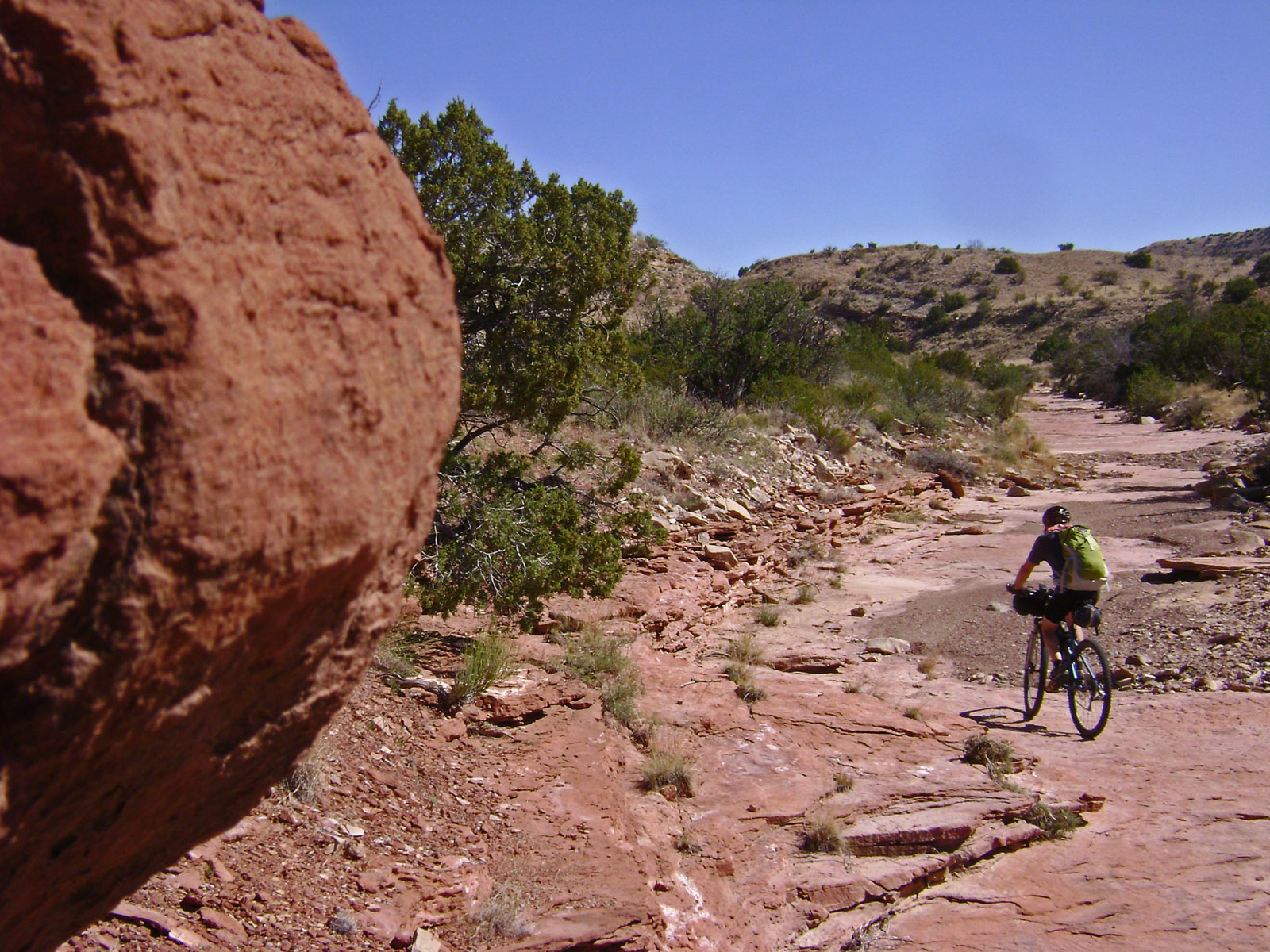
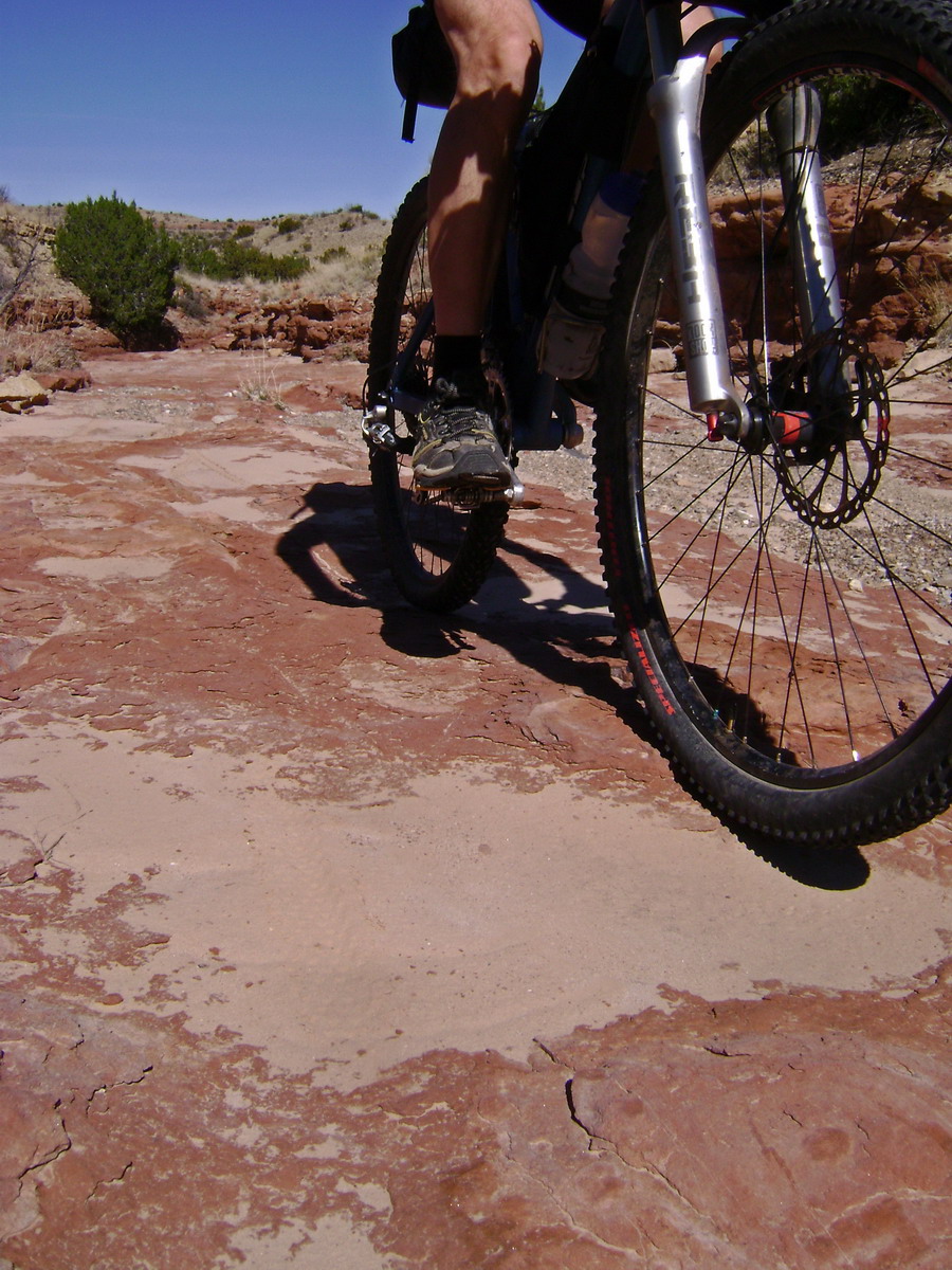
Solid rock. Yet another one of Brett’s GET gems. Doubtful anyone has ever ridden a bike through here before, yet here we were, pedaling some amazing MTB terrain.
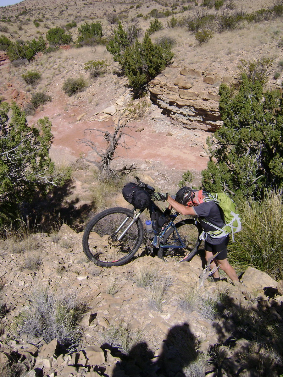
A couple of pour-offs forced climb-a-bike maneuvers to circumvent.
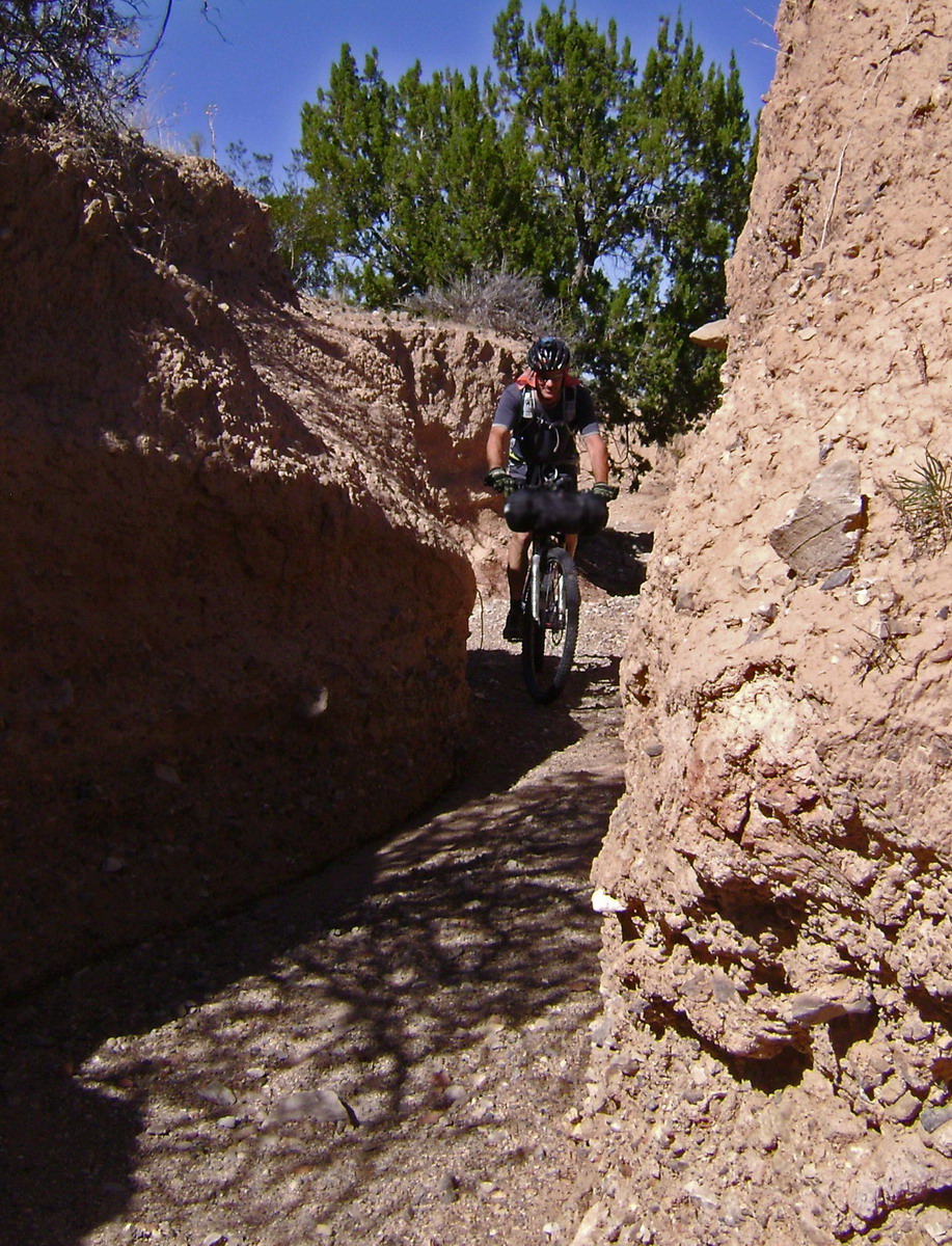
Then it narrowed to dirt walls before intersecting singletrack.
Cow singletrack, but still pretty darned fun to ride.
We started picking up more goat heads and eventually my tire failed. A half hour of pump ‘n go, adding sealant and other silliness yielded nothing. Normally this would frustrate me, but I distinctly remember thinking repeatedly how happy I was just to be out there.
I was ready to go to tubes, but Lee pulled out a sticky plug and special installation tool. Bingo! The tire held for the rest of the trip.
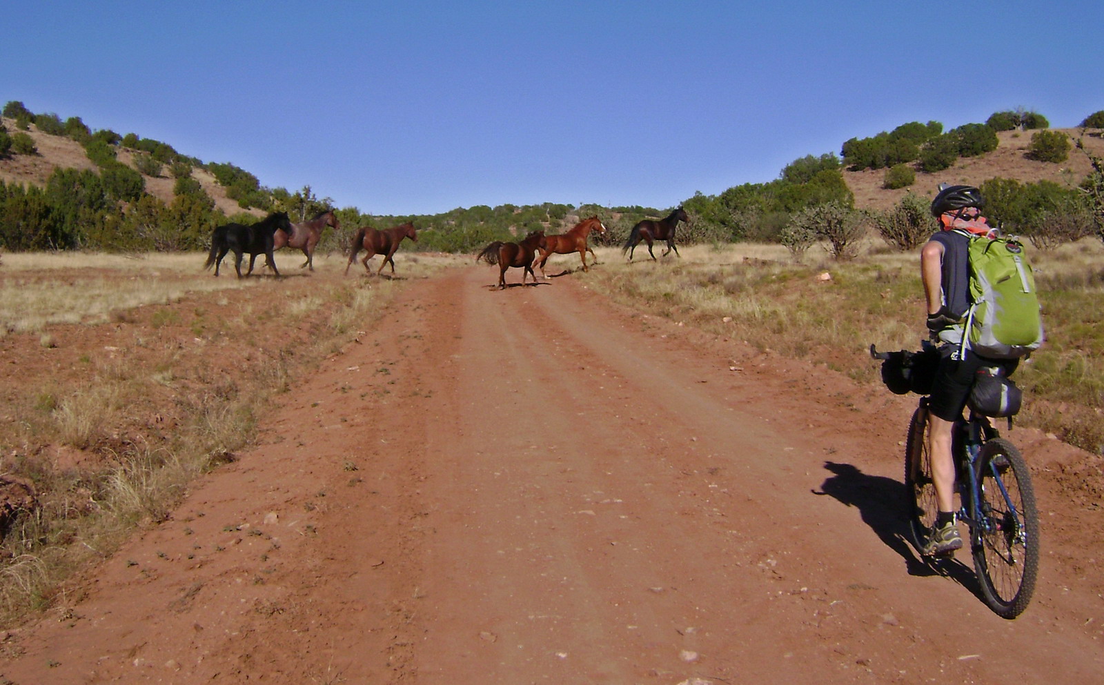
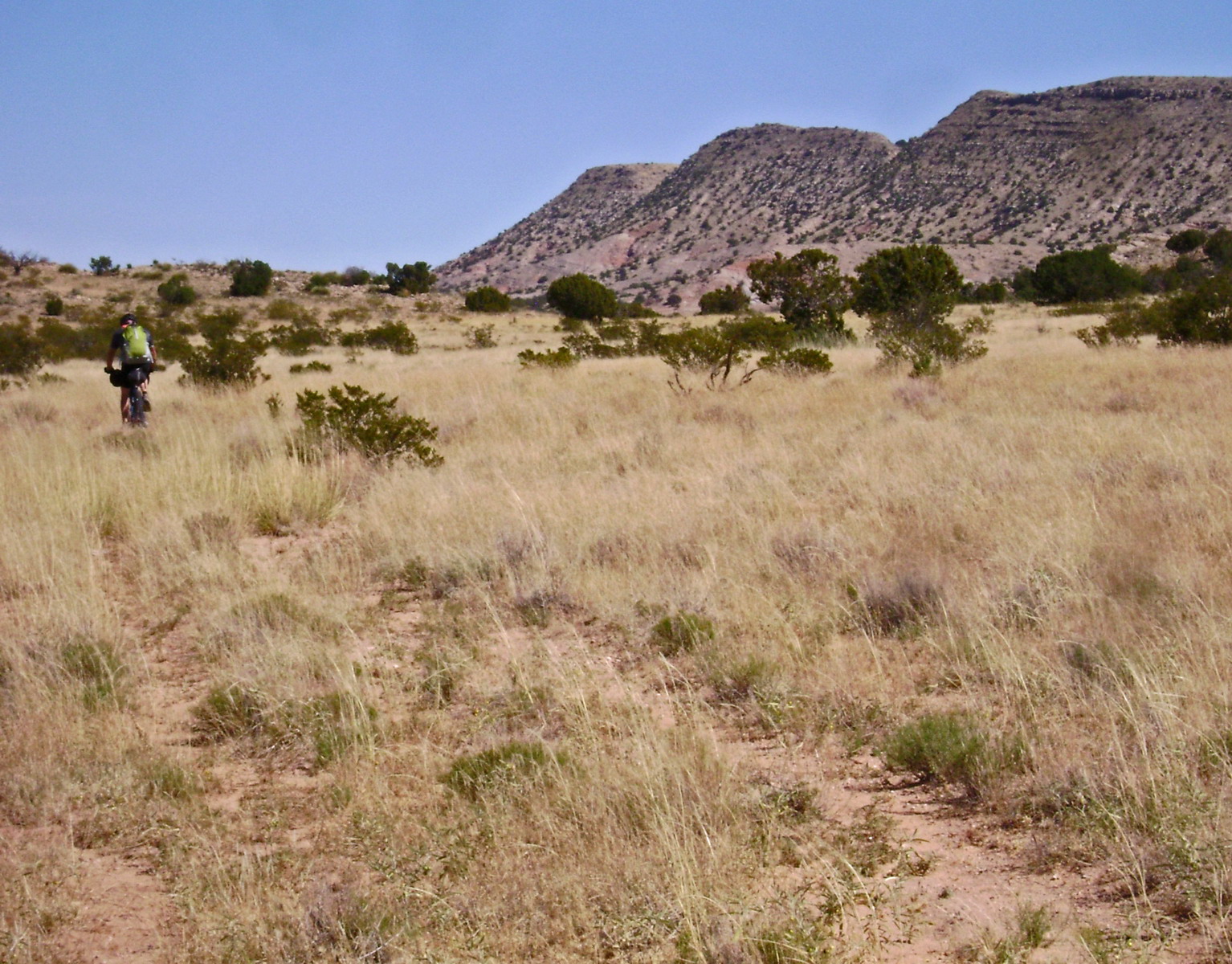
Semi-improved roads, cows and horses signaled we were nearing the next highway. Our sense of wilderness was fading away. We had crossed a rather remote section of desert.
??
I suggested some night riding, and was a little surprised when Lee took to the idea. He talked me into it more than the other way ’round. It became obvious later that he feeling strong. Very obvious, in fact. I stopped to take one picture and could not bridge the gap for the life of me.
I was falling apart in the darkness as we climbed away. We stopped for food, bringing life back to my bonking body.
“What an awesome night!”, proclaimed Lee after a cold air descent. I couldn’t agree more.
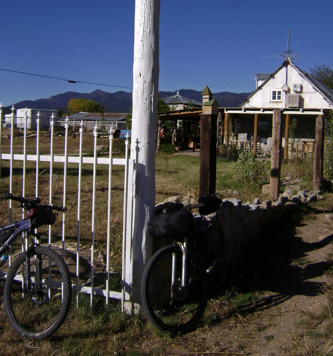
Sunday morning in Manzano. The store was closed, but the church was humming. Lee went to seek some water while I simply sat and observed. There was something comforting about this idyllic little town. People stood in the middle of the highway, talking quietly and enjoying a beautiful morning, waiting for church to begin.
We rolled on down the highway, continuing our Manzano Wilderness detour. With a tailwind and light traffic, it was a breeze. We blew through Torreon and were surprised to find an open cafe in Tajique. It would have been physically impossible for Lee to pass this opportunity up. We downed a large plate of Carne Asada each, then ordered pancakes and eggs for second breakfast.
Unbelievably, we still weren’t full.
Quiet forest roads were on the docket next. That plan was foiled by a newspaper article proclaiming the Tajique/Torreon loop road as a beautiful “fall color drive.” The paper was right, but the number of vehicles we encountered was nauseating. 0.2343 feet onto the first trail there was no one. The only people outside their car at the trailhead had been forced to stop by an overheating engine.
Pine needle singletrack was nice, but short lived. A brief bushwhack led to 4×4 roads.
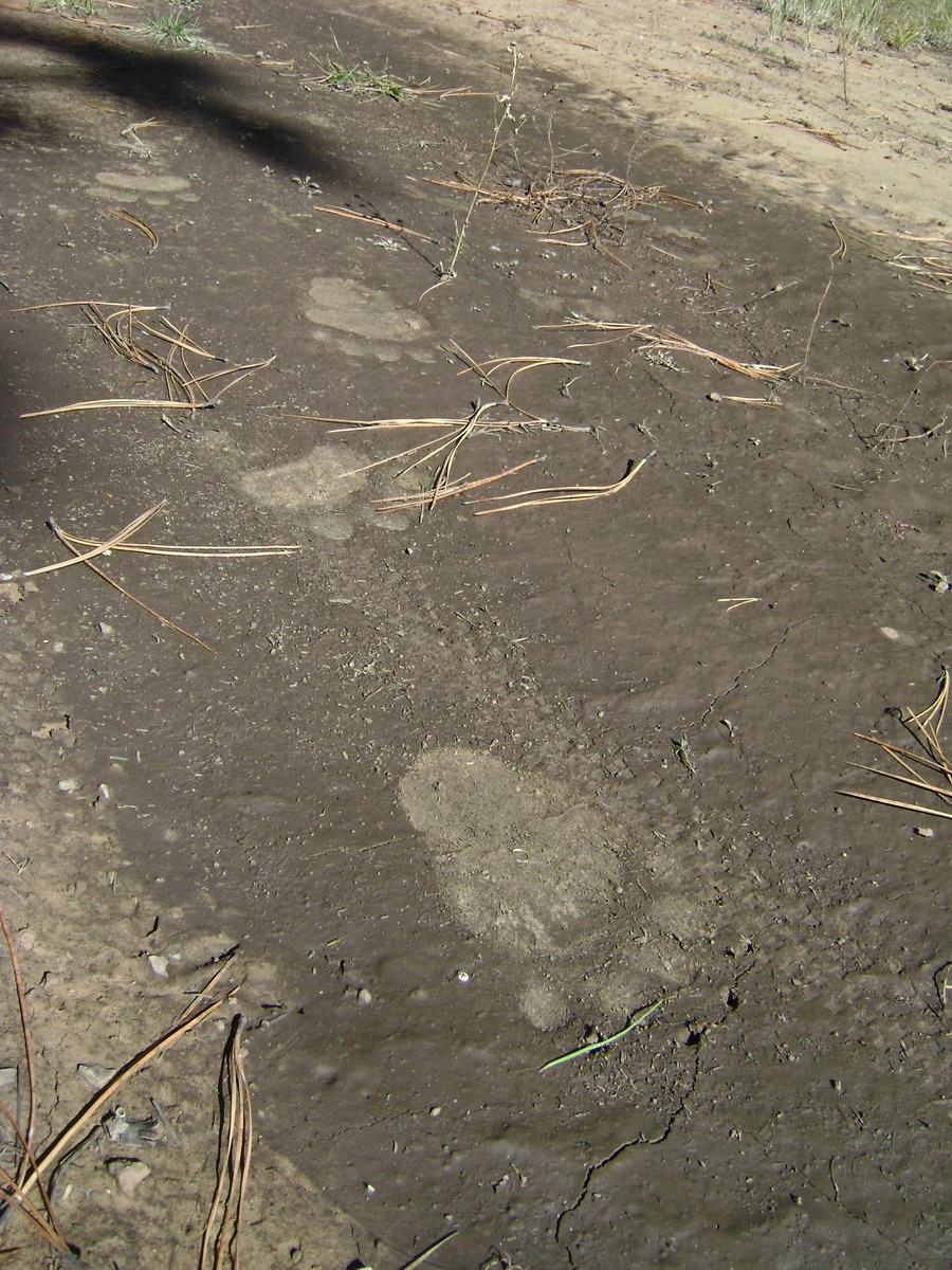
Bears use the GET too.
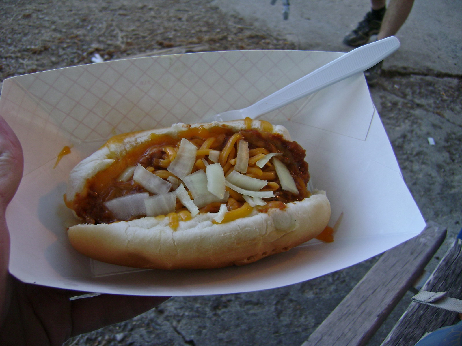
Our intended route didn’t exactly go as planned. Let’s just say things got a little exciting out there. We eventually did make it to Highway 337, where we exchanged $1.59 for two of these:
We pedaled off to the Mars Court trailhead, taking the trail a short ways before finding a spot to camp.
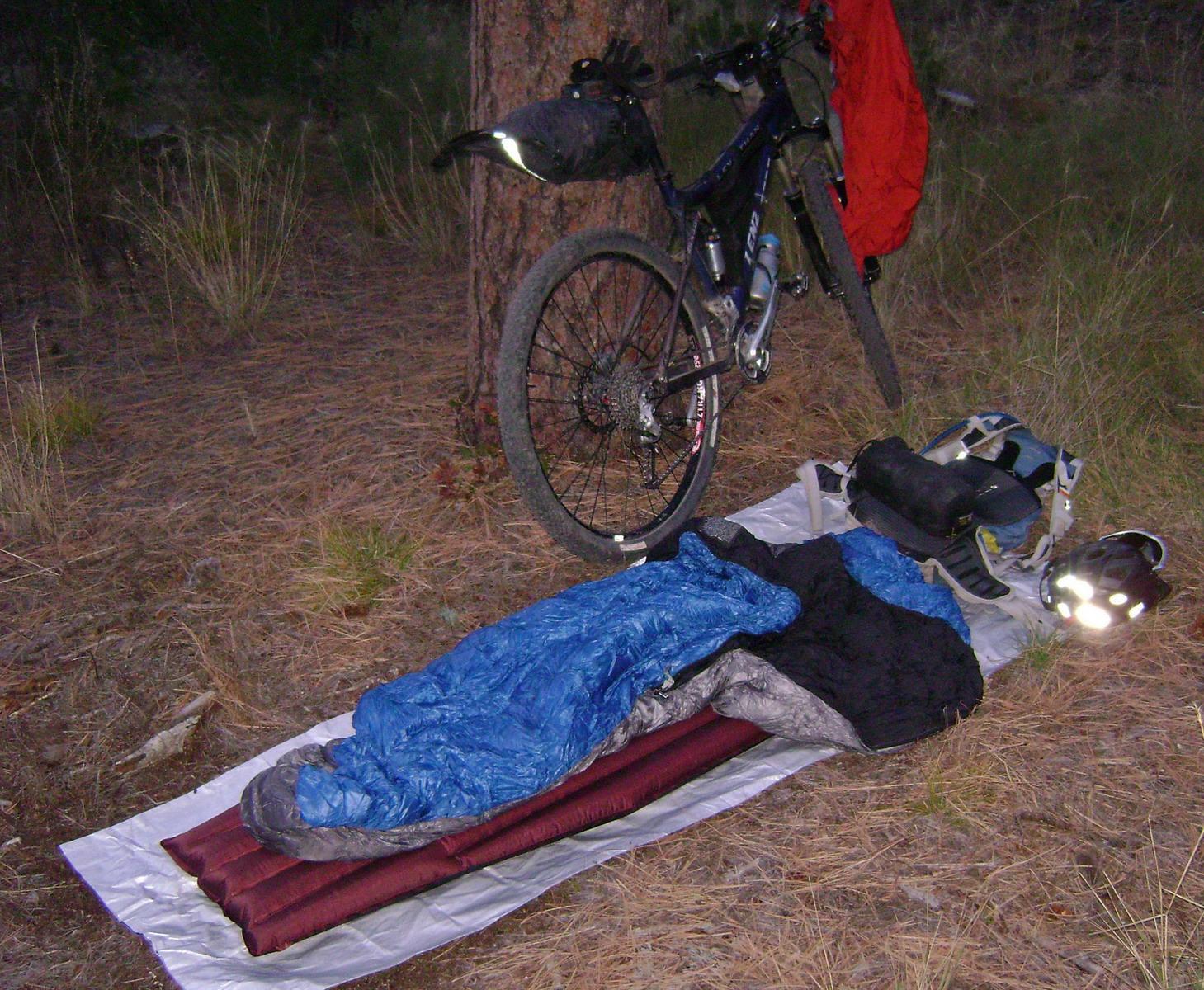
Beautiful night. Beautiful, but too long. I pulled out the mp3 player and watched shooting stars before dozing off to sleep again. It was so quiet I had to crank the volume down to levels that would otherwise be inaudible.
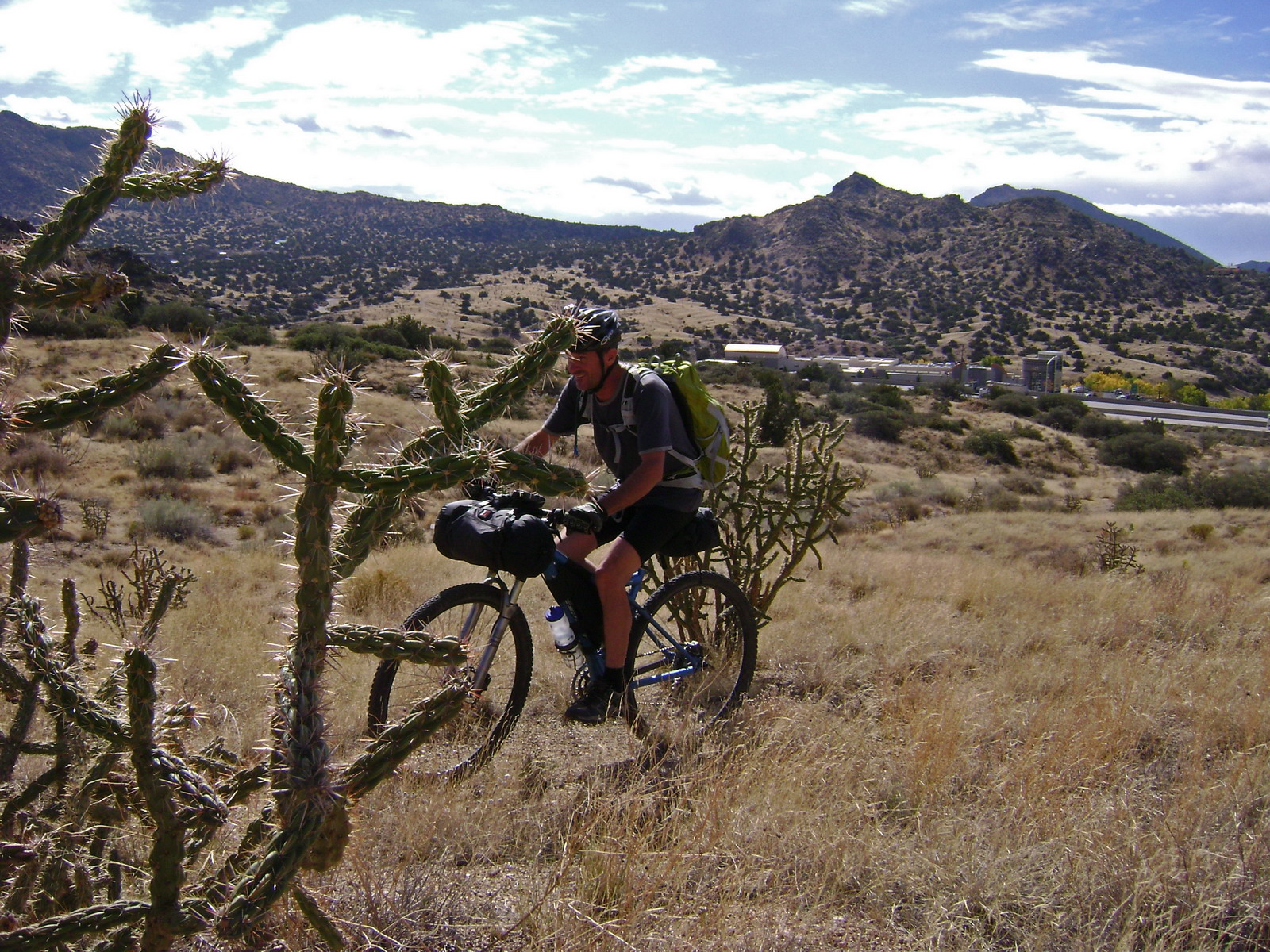
The next day we had the pleasure of sampling some of the best cycling Albuquerque has to offer.
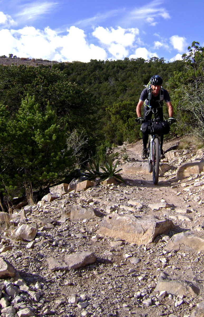
Years ago I signed the “Save Otero” petition, not knowing anything about the trail. I can see why there was such a stir to maintain access. This trail is solid gold.
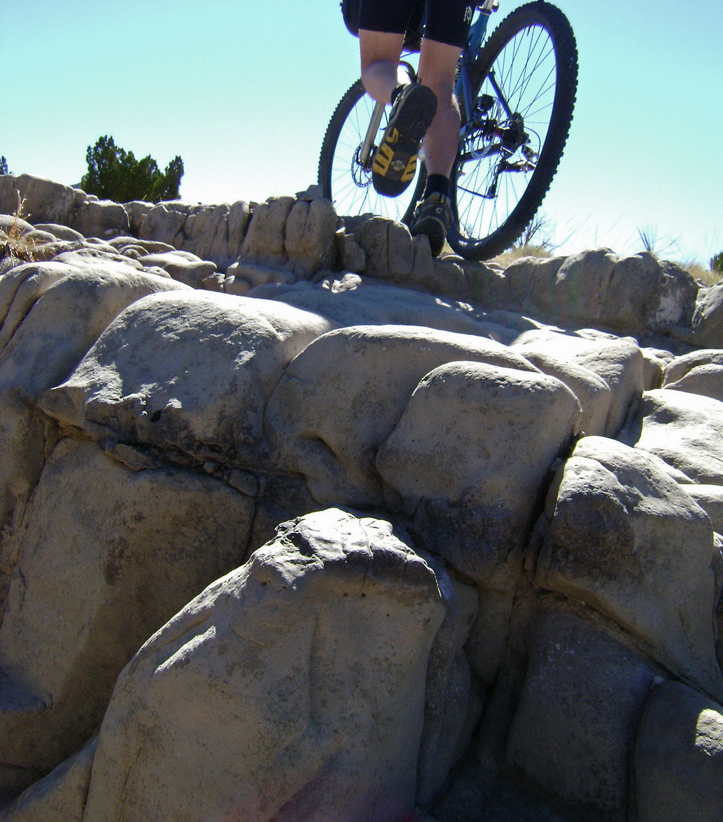
Loaded micro-hucking.
The trail was either ‘fast and swoopy’, or ‘technical and ledgy.’ What a coincidence, my two favorite kinds of trail!
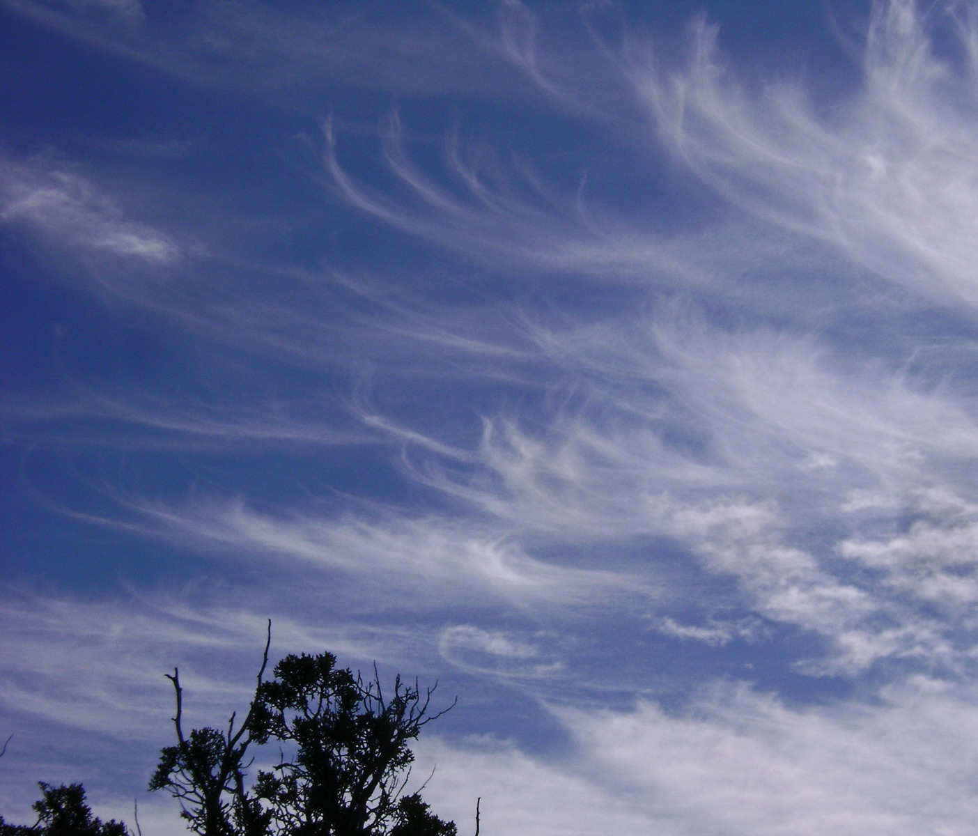
whispy clouds
MTB bliss continued on the Tunnel Trail. A challenging climb followed by endless contour. I was pinching myself, and since we earned this downhill yesterday, it felt like pure gluttony.
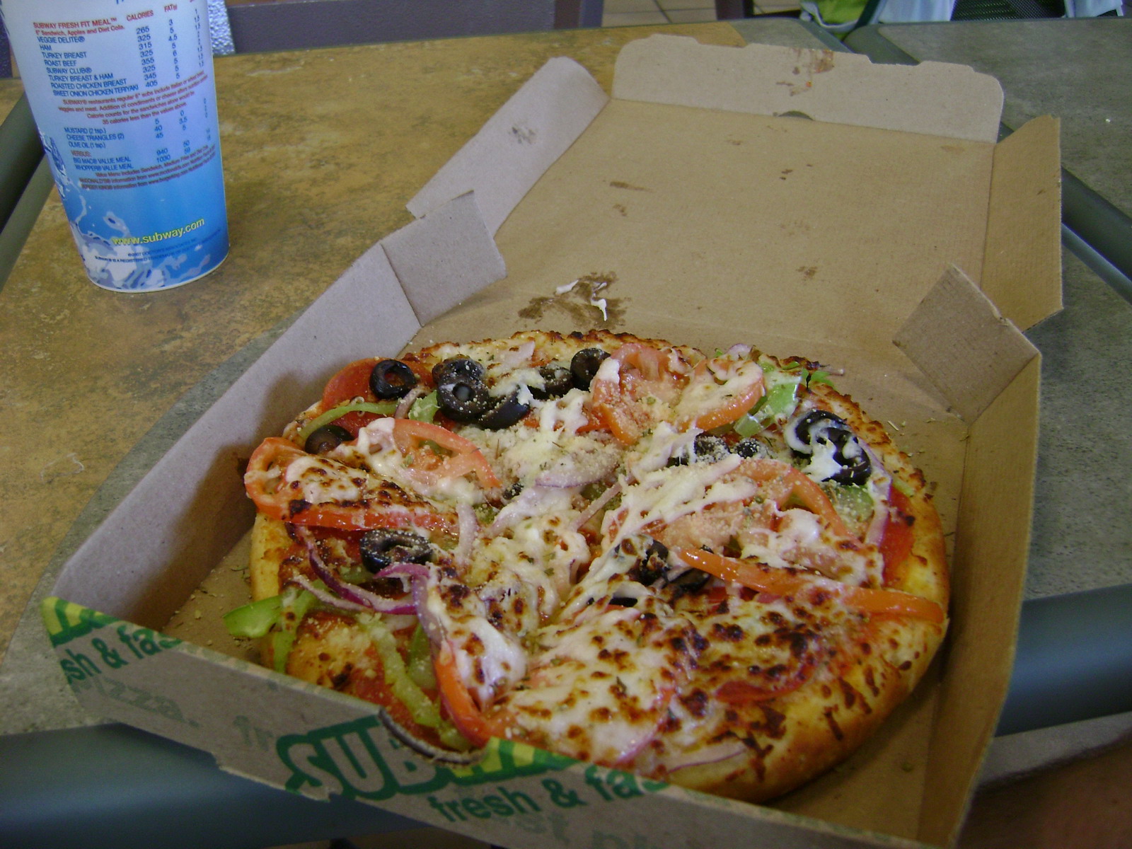
And it pretty much was. Lee was almost ready to ride ~2 miles uphill to sniff out a good cafe. But I talked him into Subway, which to my surprise cooked me up the best meal of the trip–a personal pizza with fresh ingredients.
Now it was time to figure out the final leg of the GET-bike route. Luckily we had Matt Turgeon’s GPS track, which took us on parallel roads to I-40, then along I-40 itself via a “hobo” trail, finally intersecting singletrack after ducking under a fence.
I-40 in the background
Quite a connection to make, thanks to Matt and the wonders of the Global Positioning System.
For the next 14 miles we followed the Albuquerque foothills trail system. We had come a long ways to get here, geographically, physically, mentally. Geographically, we had to travel the ~180 miles to arrive at these trails. Moreso, we had explored, sweat our guts out and bled along all our previous GET explorations. Now on our fourth day on the bike, physically our bodies had settled into the rigors of mountain bikepacking. Saddle sores were gone, protesting legs a thing of the past, we had the rhythm, had the flow. Mentally it just seemed natural. Riding trail is what we do. Concerns of the everyday can linger a few days, but not now. Now it was all about the experience.
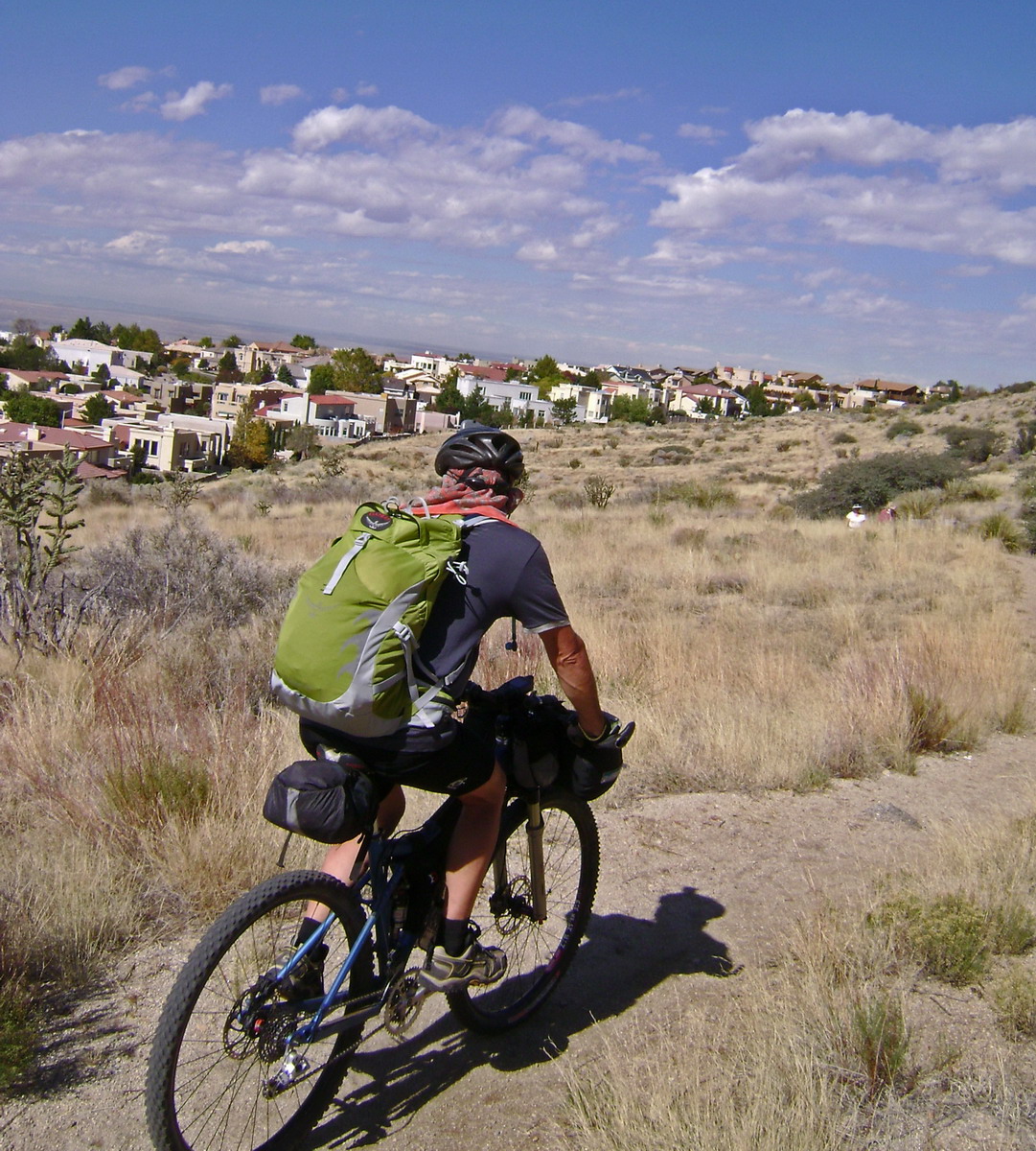
It didn’t hurt that we had a tail wind. Or that the trail was flowing itself. I knew that days like this don’t come often, so I made the most of it and tried to slow time.
I don’t know how successful I was, but it ranks up there with some of my better days on the bike. Finishing a 5 day tour of alpine Colorado with a first run at Monarch Crest and Rainbow trail is up there, so is descending the final switchbacks of the AZT above the Vermilion cliffs on my way to finishing the AZT TT.
Dream riding, basically.
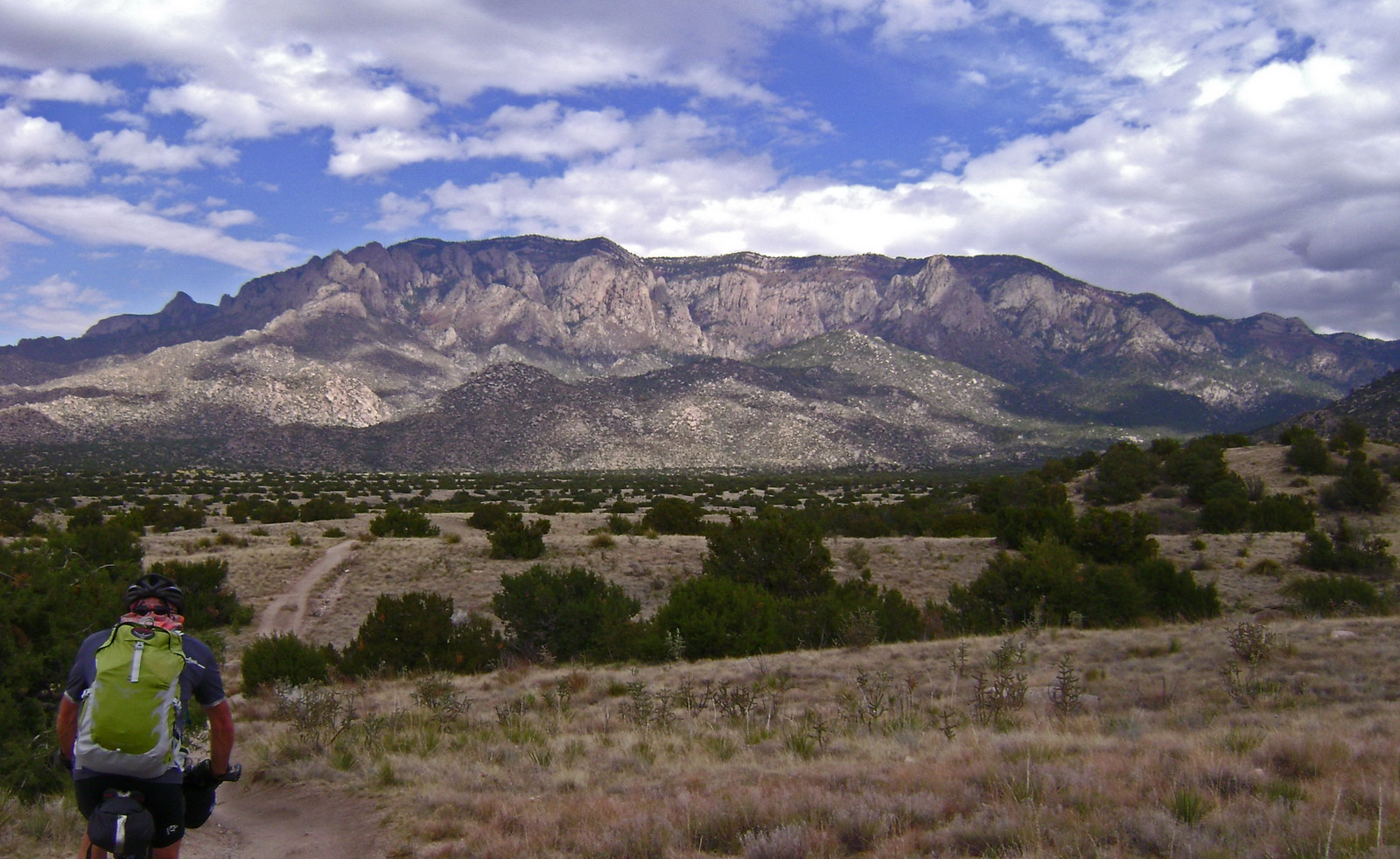
We approached the cliffs of the Sandia crest and could make out the tram towers. I was astonished to see that we had been gaining elevation consistently — it felt downhill. The base of the tram is the official eastern terminus of the GET, and we were able to take trail all the way there.
Allen Stibora of Mountainair had offered to pick us up and drive us back to Magdalena. Allen was a treat to talk to on the way back — he’s done it all, from cycling across the country to thru-hiking on the AT, CDT, etc. Thanks Allen!
We now know a lot about the GET. Thoughts of a thru-trip dance in my head…

Hey Scott,
Beautiful writeup.
“Lee pulled out a sticky plug and special installation tool”, what is this majic of which you talk? I’m recently converted over to tubless. My only concern is exactly what happened to you. Do tell, or should I go to the bike packing sight and ask?
Dave
Hey Dave,
Yeah, head over to bikepacking.net. Someone asked the same question, and I answered it there.
http://www.bikepacking.net/forum/index.php?topic=65.0
Scott
Wow, Scott – great job of sticking with this idea and coming back to it. I don’t live in ABQ anymore, but yeah those trails are awesome. Wish I would have seen first hand some of the other parts of that route. Congrats and who knew Subway had ummm….pizza?
Simply wonderful.
Bravo!!!
Fantastic write up! Thanks for the pictures. Just discovered the Grand Enchanment Trail today fooling around on Google Earth. 770 miles to Phoenix, Arizona!!
Dang, now I gotta go back out there and fund those drainages and singletrack in the ojo de la parida. psyched for this and the wahoo write ups