There’s a new version of TopoFusion out. v3.2 adds support for two new map servers:
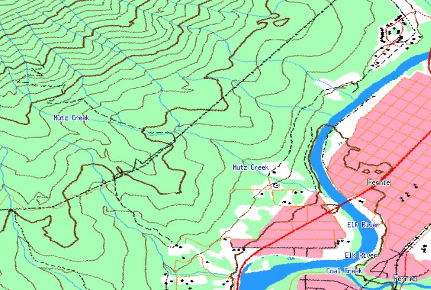
Canadian Topographic
1:50k, 1:250k:, NRCan topographic maps.
COVERAGE: 1:250k – All of Canada; 1:50k – Most areas covered
RESOLUTION: ~6 meters per pixel
SOURCE: NR Canada (*)
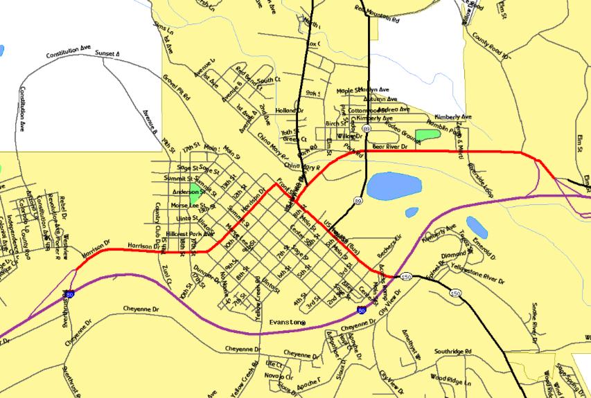
Tiger Street Maps
TIGER census street maps and features for the Unites States.
COVERAGE: Entire United States
RESOLUTION: 4 meters per pixel
SOURCE: Tiger Mapping Service
Full revision list is Here.
I’m really excited about the future of TopoFusion. I’ve got so many ideas bouncing in my head as to where the program should go. The limitation is, of course, time. So where that energy gets directed is unknown, which makes it pretty exciting. And the people I hear from on a daily basis change the focus as well.

Leave a Reply